
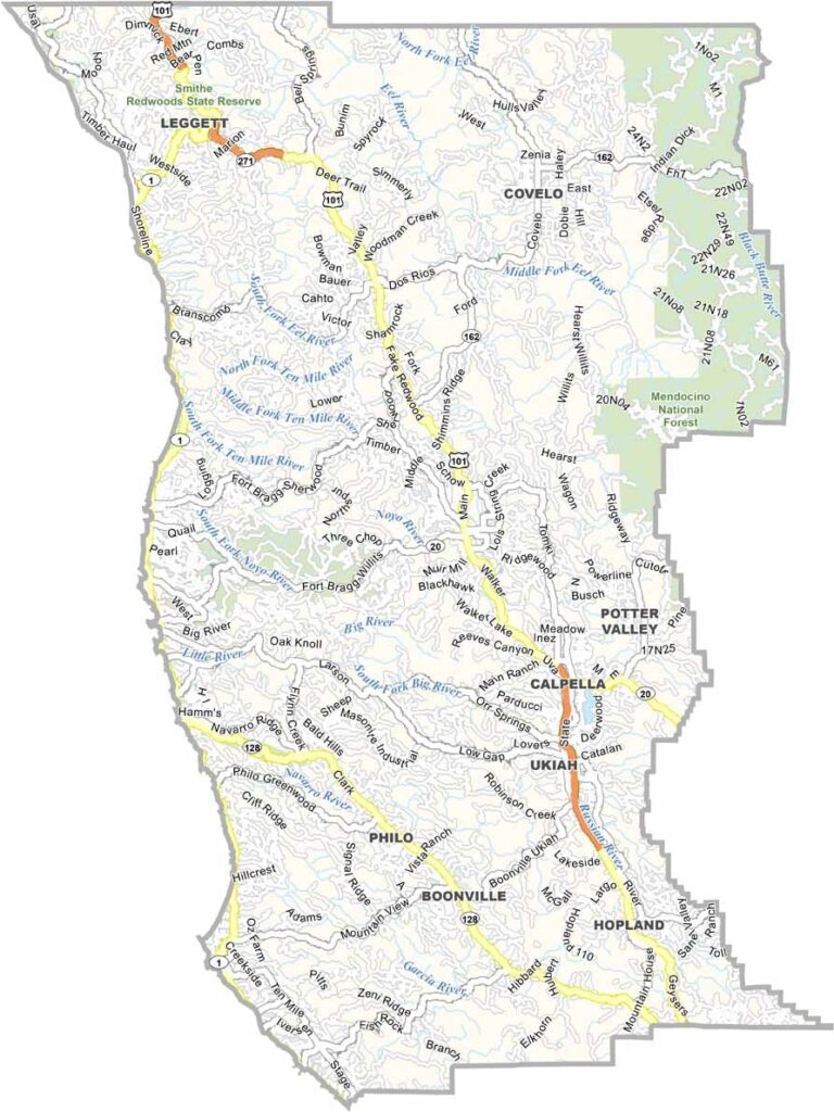
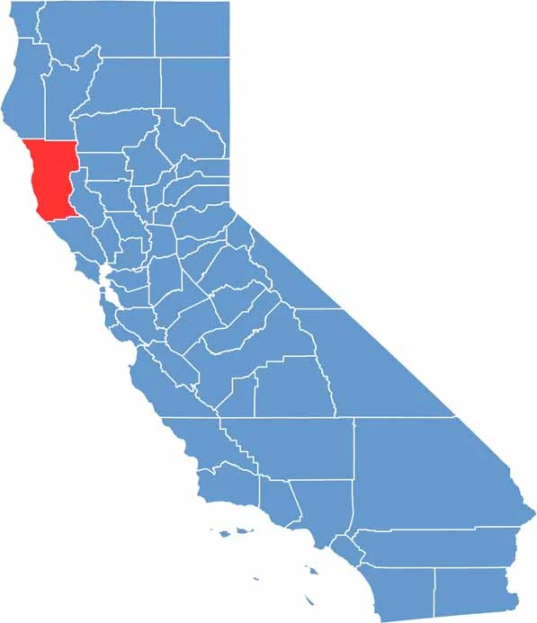
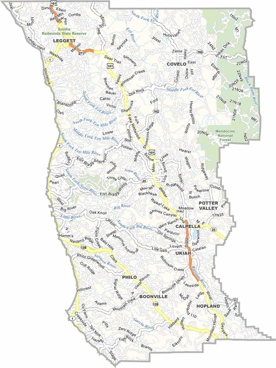
Mendocino County is located along California’s rugged North Coast, north of San Francisco. Its charming coastal towns have a storybook atmosphere, with historic buildings, scenic streets, and dramatic ocean views.
Inland, dense redwood forests and vineyards cover much of the landscape. The county has also developed a reputation for alternative agriculture and attracts a creative mix of artists, independent-minded residents, loggers, and fishermen.
The coastline is one of Mendocino County’s biggest attractions, with towering cliffs, rocky beaches, and crashing Pacific waves. Fort Bragg is famous for Glass Beach, where colorful pieces of sea glass cover portions of the shoreline. With its rugged scenery and artsy communities, Mendocino County offers a distinctly different side of California.
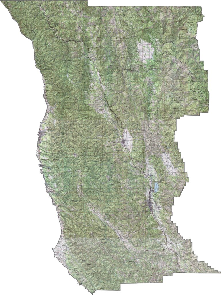
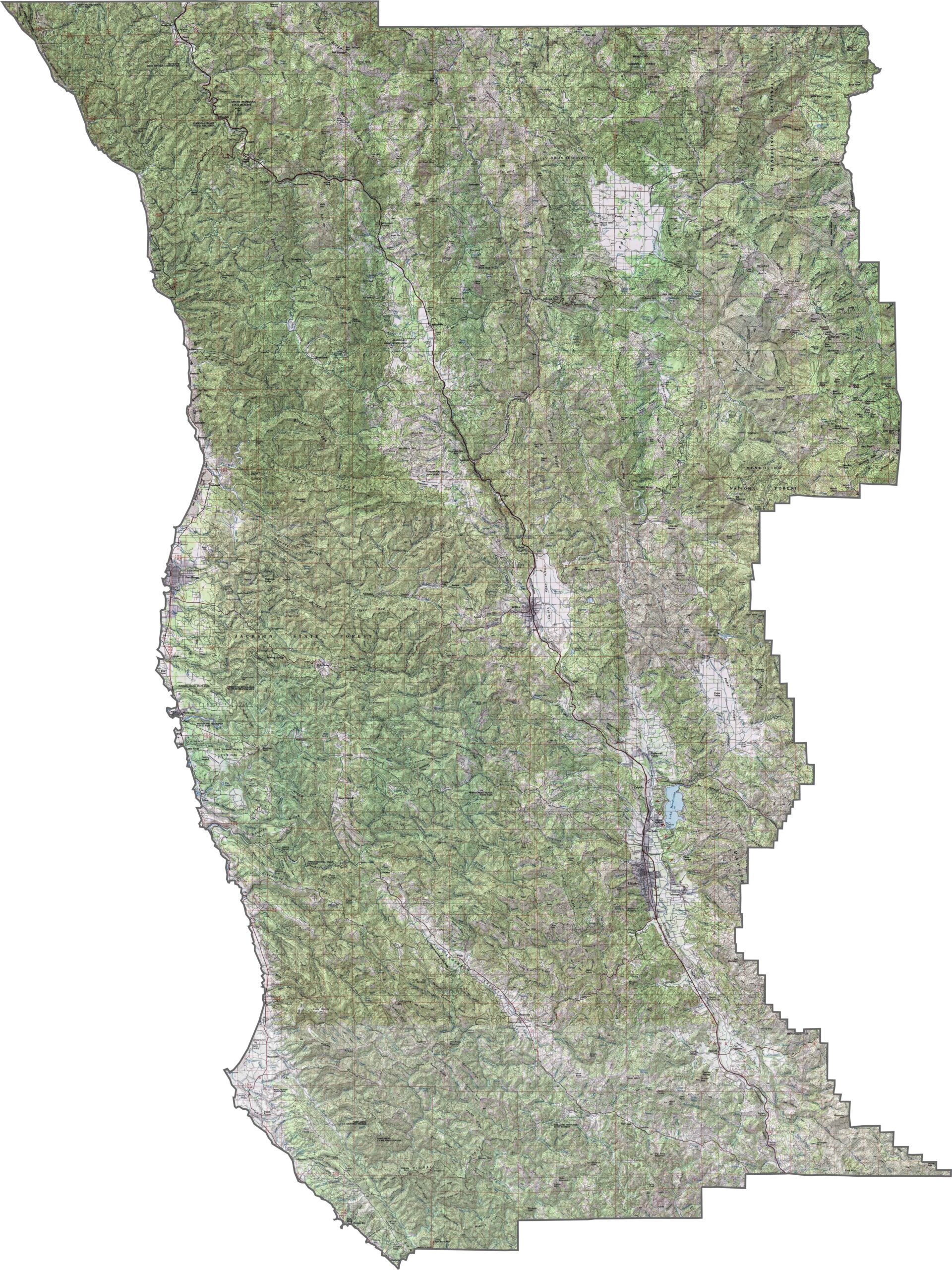
This topographic map highlights Mendocino County’s rugged terrain, with dramatic sea cliffs, coastal headlands, forested mountains, and inland valleys. The detailed contours reveal how the landscape changes from the Pacific shoreline into the Coast Range.
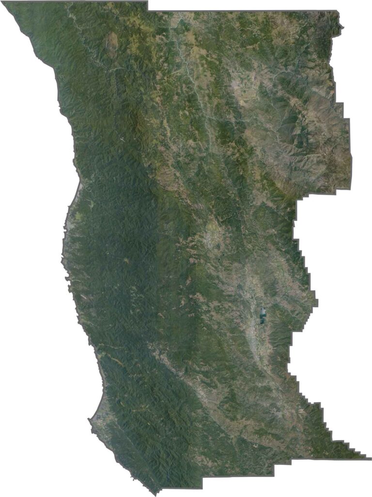
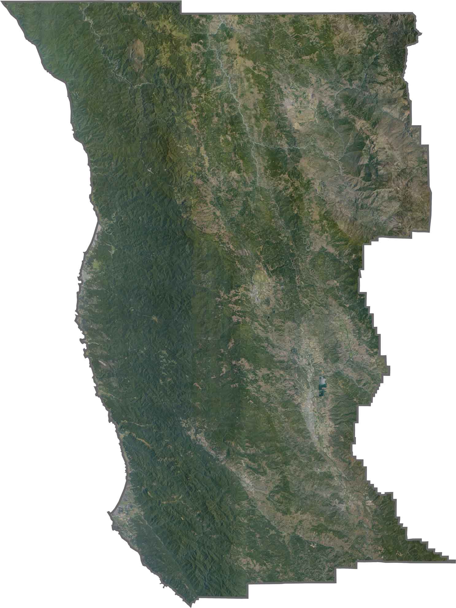
This satellite map shows coastal headlands meeting dense inland forests across northern California. River valleys cut through the mountainous terrain, creating natural corridors that stand out clearly from above.
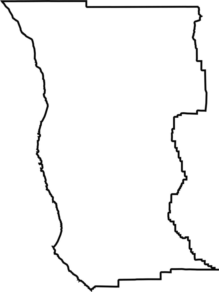
This blank map outlines Mendocino County’s broad shape along California’s northern coast. The western edge follows the Pacific coastline, while the eastern boundary extends into the Coast Range.








Ever wonder how California’s 58 counties are organized? Our California county map lays them all out, from the Pacific Coast to the vast desert regions. Explore the map to find the counties you know—and perhaps discover a few you don’t.