
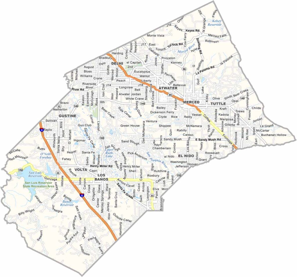
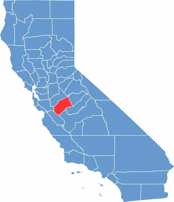
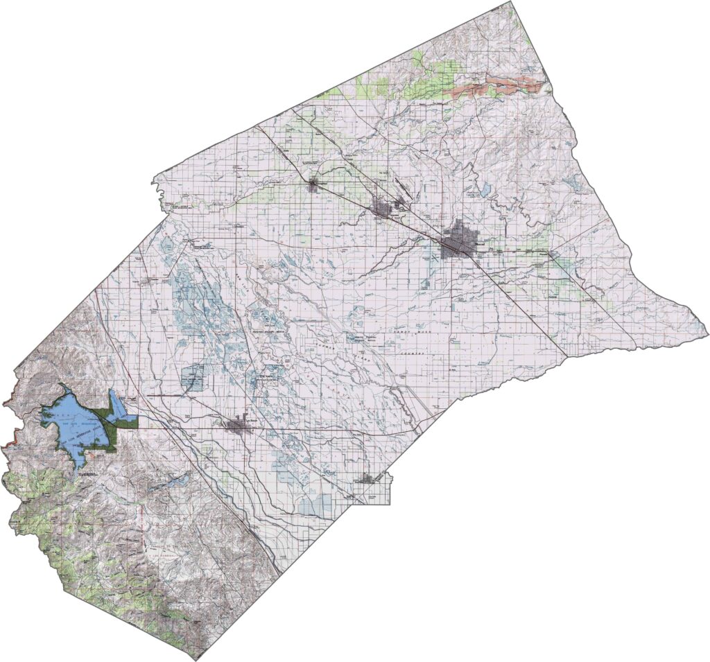
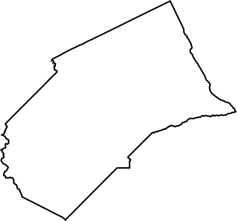
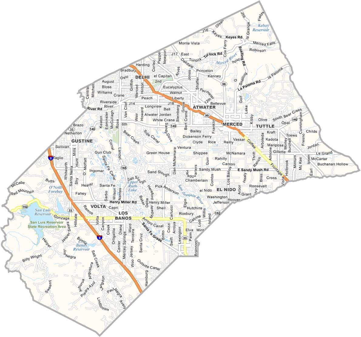
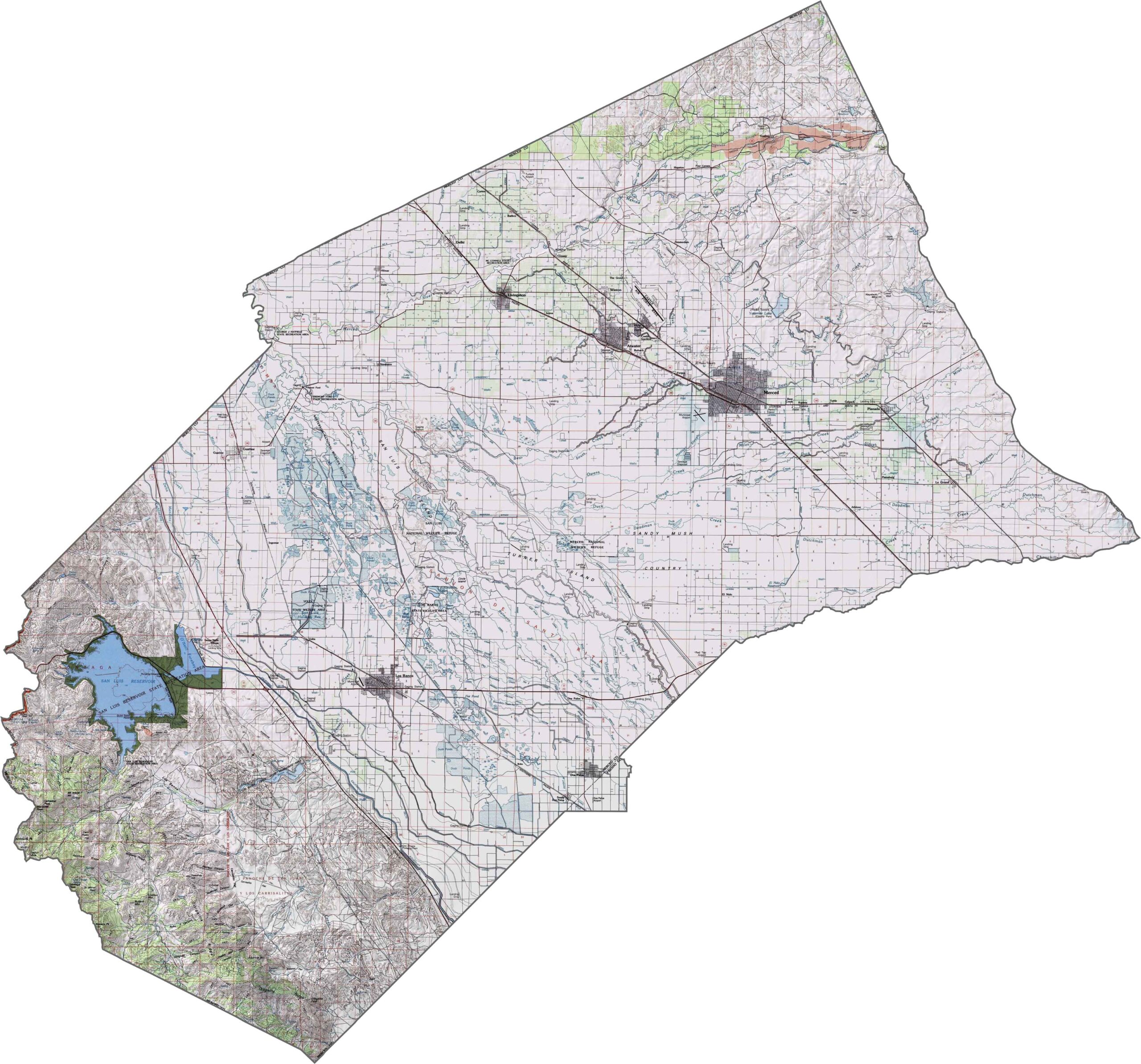
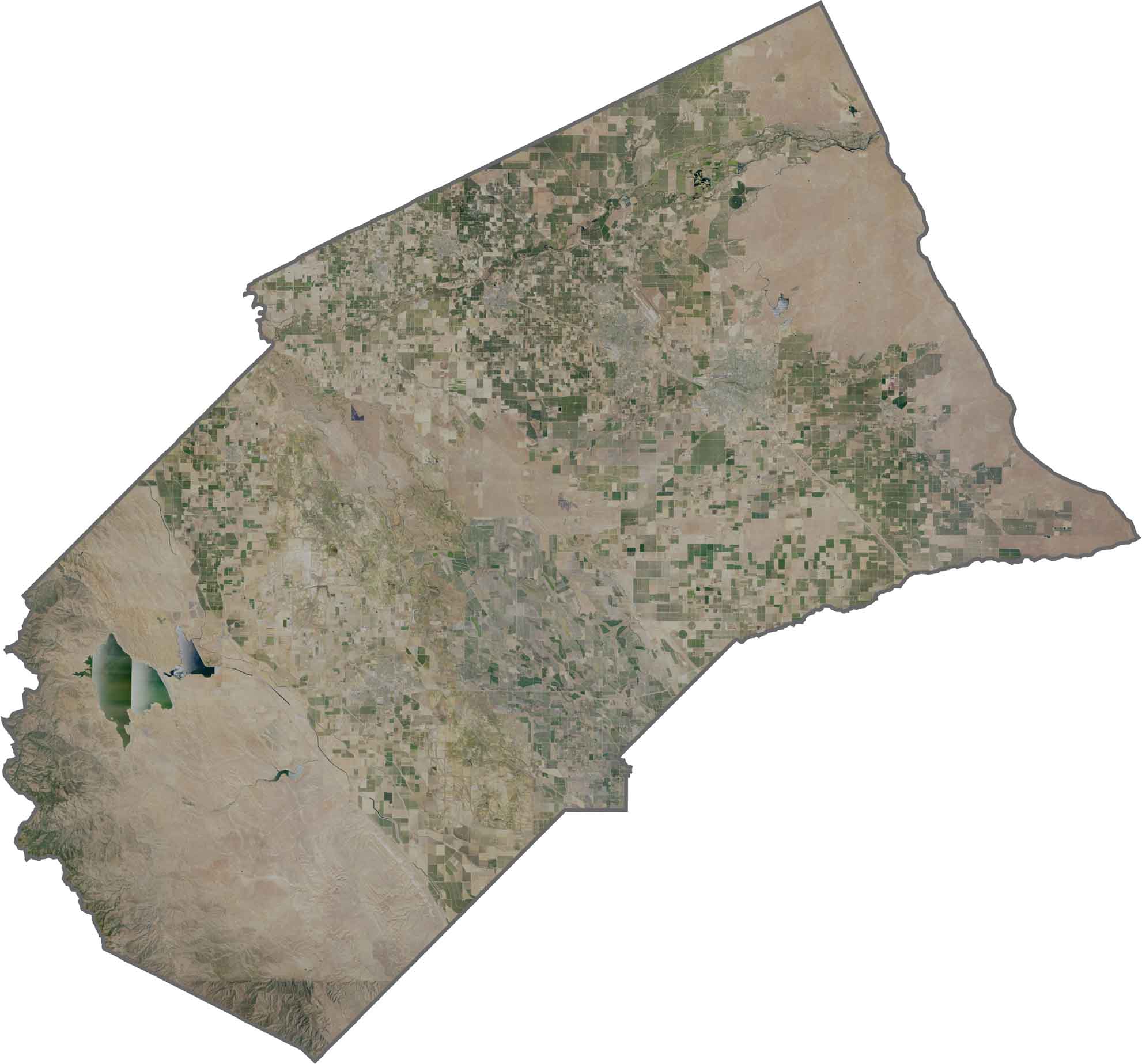
Merced County is located in California’s Central Valley, right in the heart of one of the state’s major agricultural regions. Merced is the county seat and largest city, and it is home to the University of California, Merced, the newest campus in the UC system.
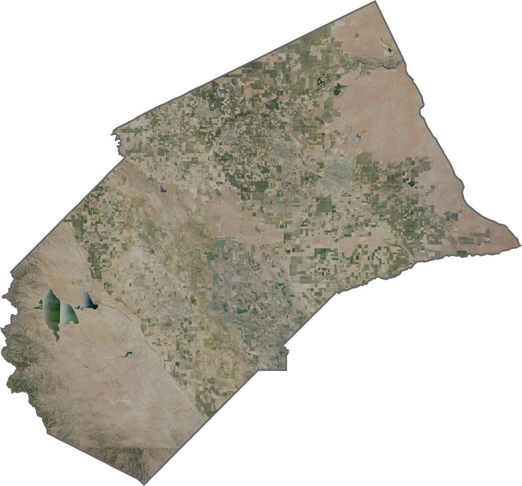
Agriculture is a major part of life here, with extensive dairy farms and fields producing a wide variety of crops. Merced is sometimes promoted as the “Gateway to Yosemite,” thanks to its location along routes toward Yosemite National Park, although the surrounding landscape is largely made up of farmland.
Merced National Wildlife Refuge is a popular destination for birdwatchers, providing important habitat for migratory birds and other wildlife. With its wide-open spaces, productive farmland, and relaxed rural character, Merced County offers a quieter side of California’s Central Valley.
This topographic map highlights Modoc County’s high desert plateau and volcanic terrain in northeastern California. The detailed contours reveal broad valleys, mountain ranges, and ancient lava flows across this remote region.
This topographic map highlights Modoc County’s high desert plateau and volcanic terrain in northeastern California. The detailed contours reveal broad valleys, mountain ranges, and ancient lava flows across this remote region.
This topographic map highlights Modoc County’s high desert plateau and volcanic terrain in northeastern California. The detailed contours reveal broad valleys, mountain ranges, and ancient lava flows across this remote region.








Ever wonder how California’s 58 counties are organized? Our California county map lays them all out, from the Pacific Coast to the vast desert regions. Explore the map to find the counties you know—and perhaps discover a few you don’t.