
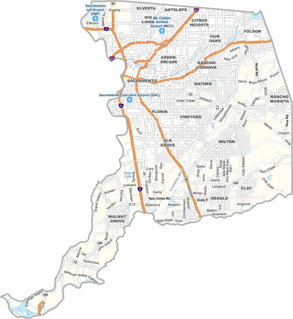
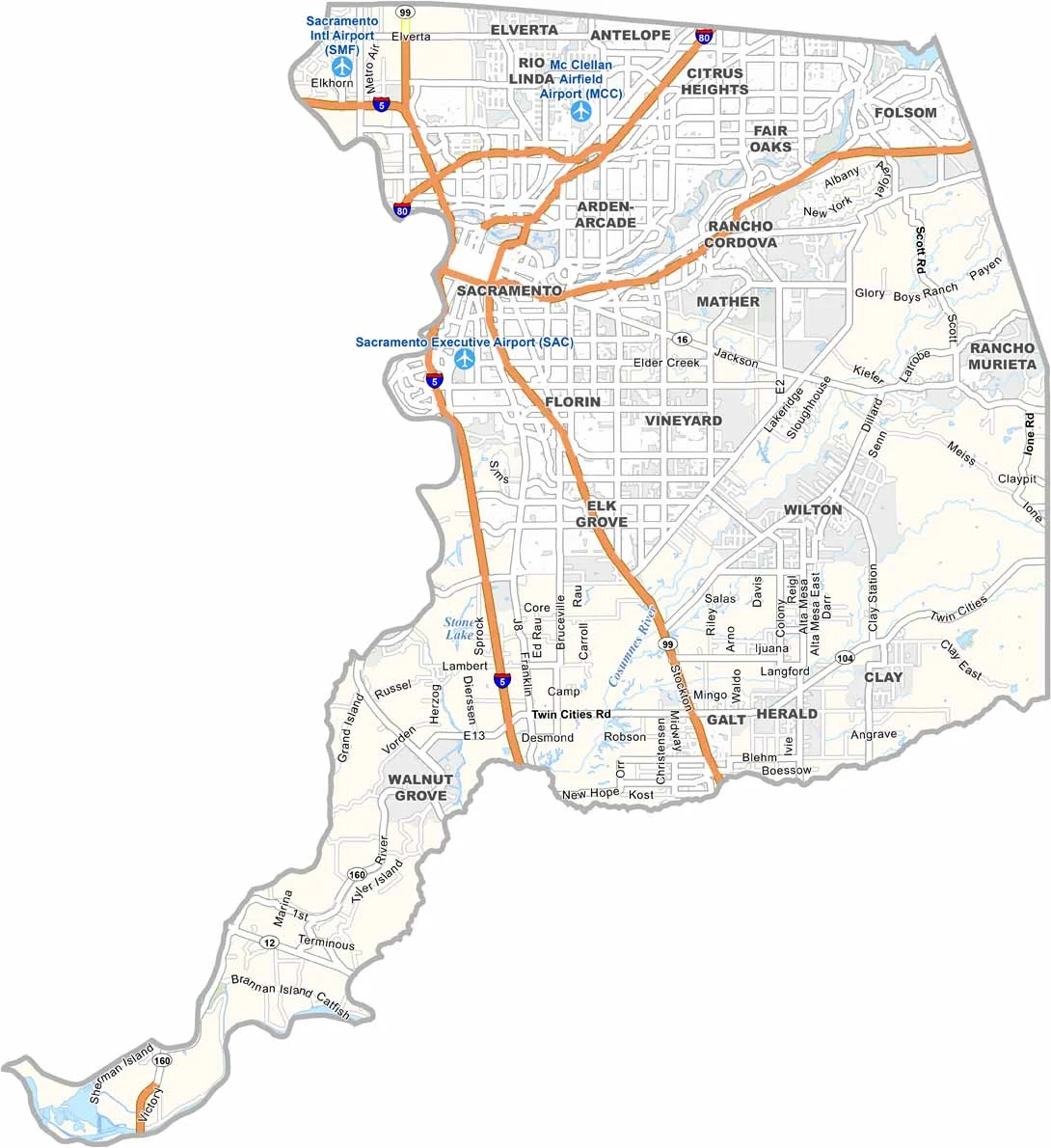
Sacramento County is centered around California’s state capital, Sacramento. The city blends Gold Rush history with government institutions and has become an increasingly popular place to live, partly because housing costs can be lower than in the Bay Area.
The Sacramento-San Joaquin Delta offers opportunities for boating, fishing, and other outdoor recreation. Folsom is known for its connection to the famous prison referenced in Johnny Cash’s music, while today the city is also home to major technology companies and growing suburban communities.
Agriculture remains important in parts of Sacramento County, with local farms and roadside stands offering fresh produce. Although the county may not have the same international spotlight as Los Angeles or San Francisco, Sacramento’s professional sports scene, including the Sacramento Kings, adds plenty of energy to the region.
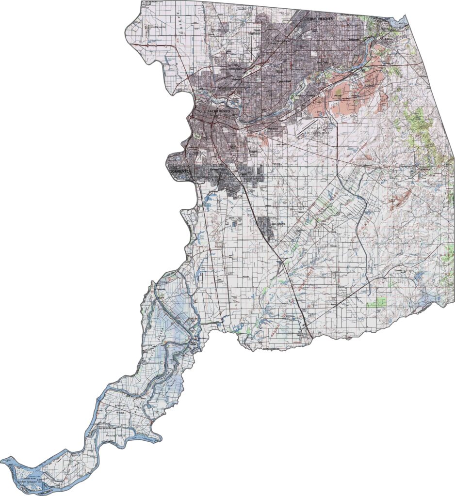
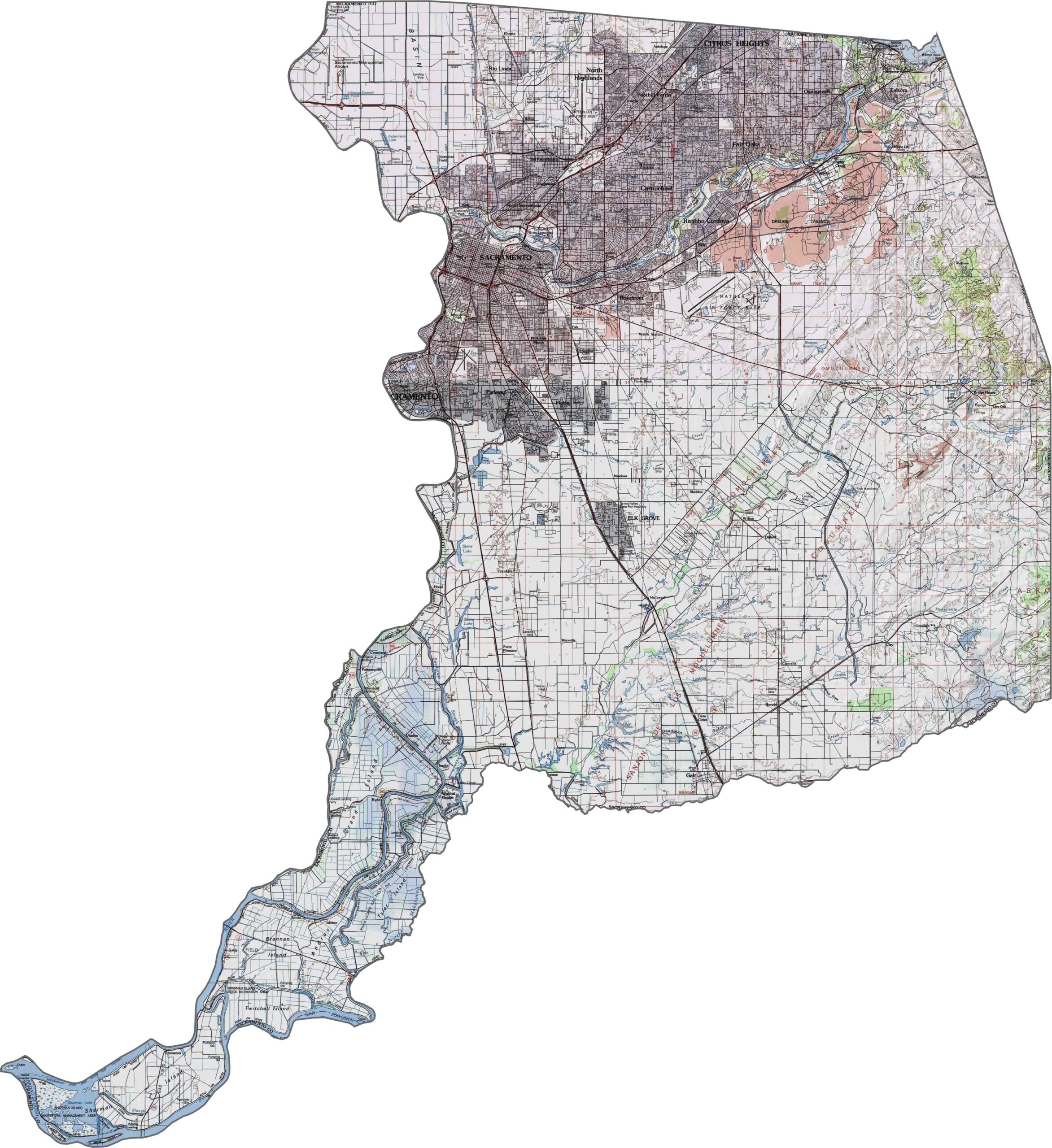
This topographic map highlights Sacramento County’s predominantly flat landscape in California’s Central Valley. The contour lines reveal the subtle elevation changes across the county’s broad river floodplains.
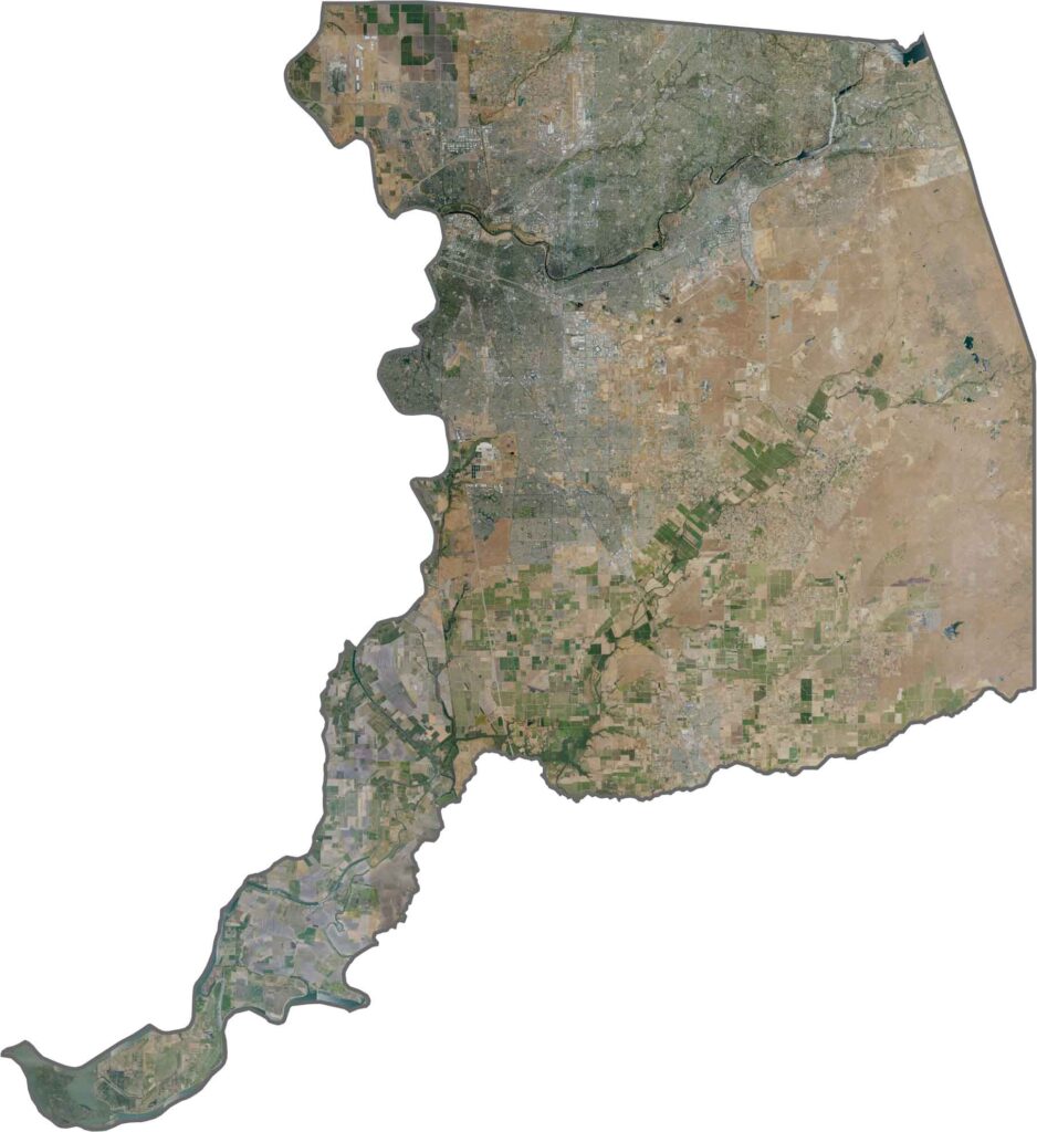
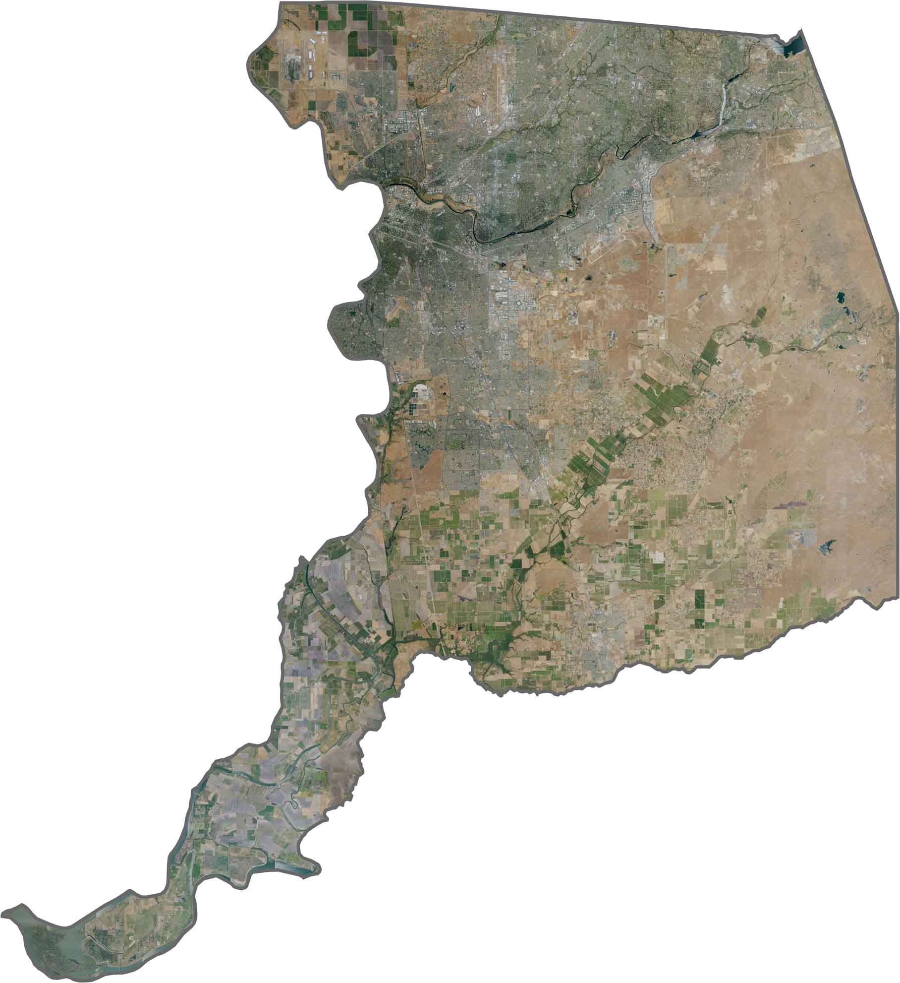
This satellite map shows urban development concentrated around the confluence of major rivers, with agricultural lands forming a patchwork around the Sacramento metropolitan area.
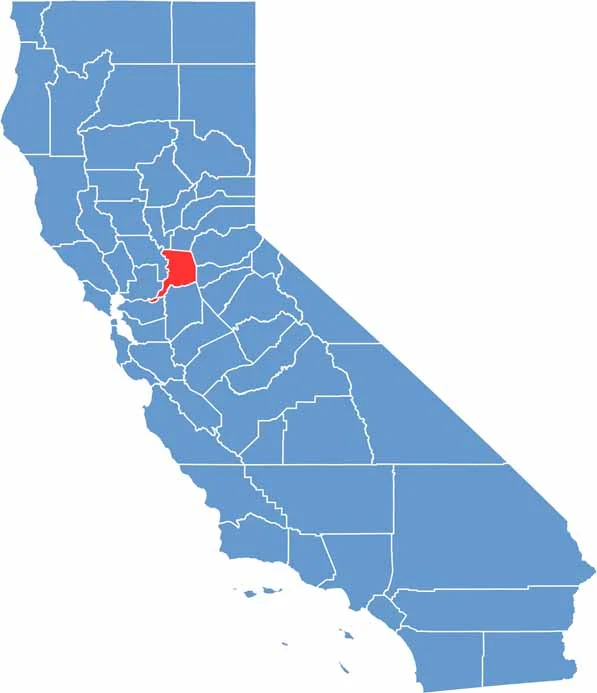
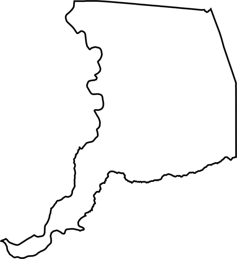
This blank map outlines Sacramento County’s compact shape in the Central Valley. The western boundary follows the Sacramento River, while the southern edge extends along the Cosumnes River.








Ever wonder how California’s 58 counties are organized? Our California county map lays them all out, from the Pacific Coast to the vast desert regions. Explore the map to find the counties you know—and perhaps discover a few you don’t.