
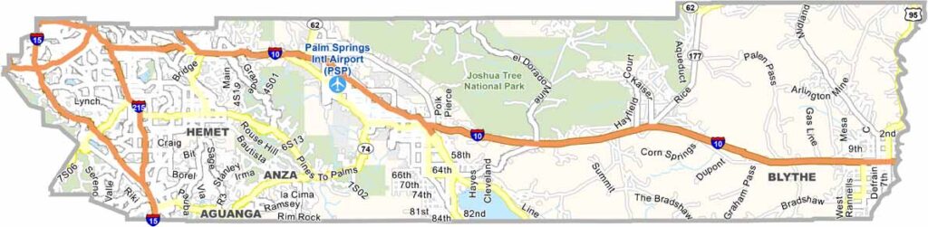
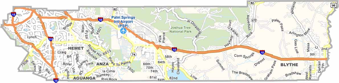
Riverside County is one of California’s largest counties, stretching from the suburbs of Los Angeles to the Colorado River near the Arizona border. The county includes Palm Springs and the Coachella Valley, where hot desert weather attracts visitors throughout the year.
The city of Riverside is known for the historic Mission Inn and its long connection to the citrus industry. Temecula has also become a popular wine destination, with vineyards and tasting rooms offering a more relaxed alternative to California’s better-known wine regions.
The eastern part of Riverside County is dominated by vast desert landscapes, including areas around Joshua Tree National Park. From busy suburban communities and growing housing developments to open desert and mountain scenery, Riverside County offers remarkable geographic variety.
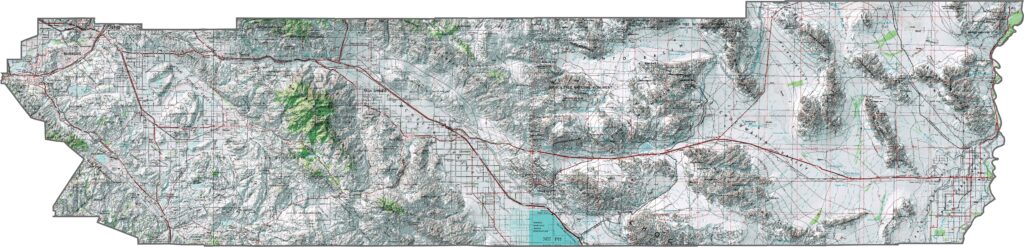
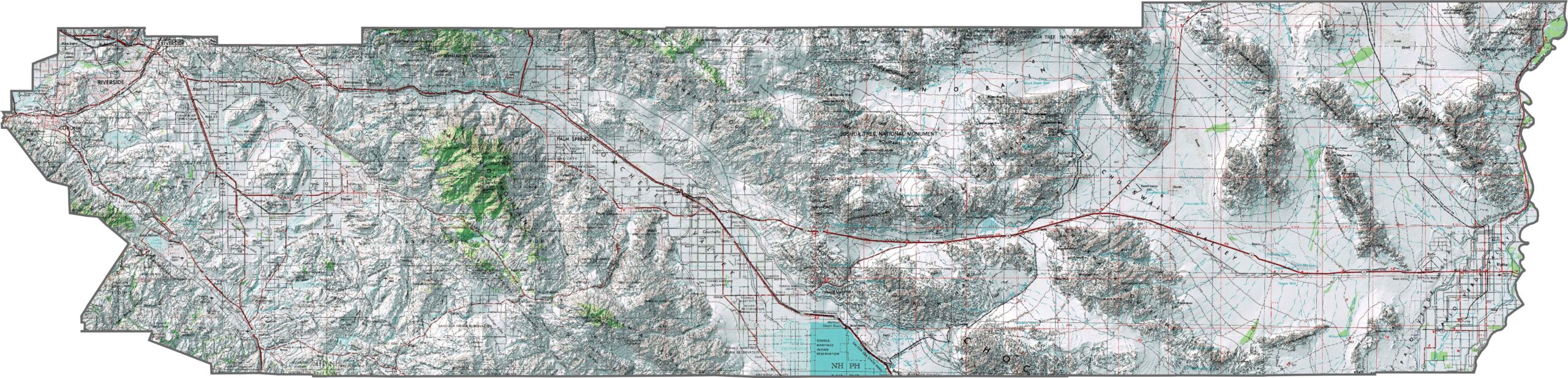
This topographic map highlights Riverside County’s dramatic transition from rugged mountains to low desert basins. The detailed contours reveal the peaks of the San Jacinto Mountains, broad valleys, and arid landscapes across southern California.
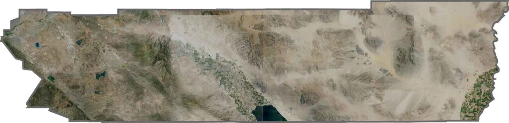
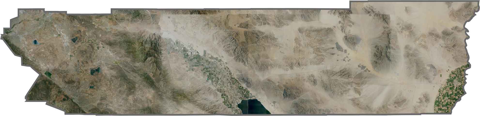
This satellite map shows the striking contrast between desert landscapes and surrounding mountain ranges. The Coachella Valley forms a distinctive agricultural corridor surrounded by otherwise dry and rugged terrain.
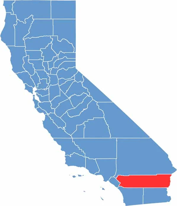
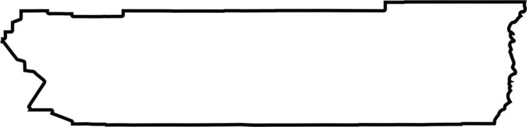
This blank map outlines Riverside County’s large, elongated shape across southern California. The county stretches from the Los Angeles metropolitan area eastward to the Colorado River near the Arizona border, covering a remarkable range of landscapes.








Ever wonder how California’s 58 counties are organized? Our California county map lays them all out, from the Pacific Coast to the vast desert regions. Explore the map to find the counties you know—and perhaps discover a few you don’t.