
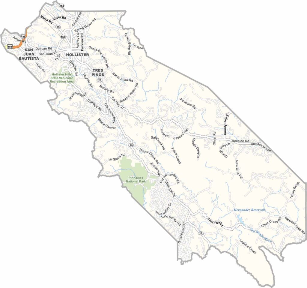
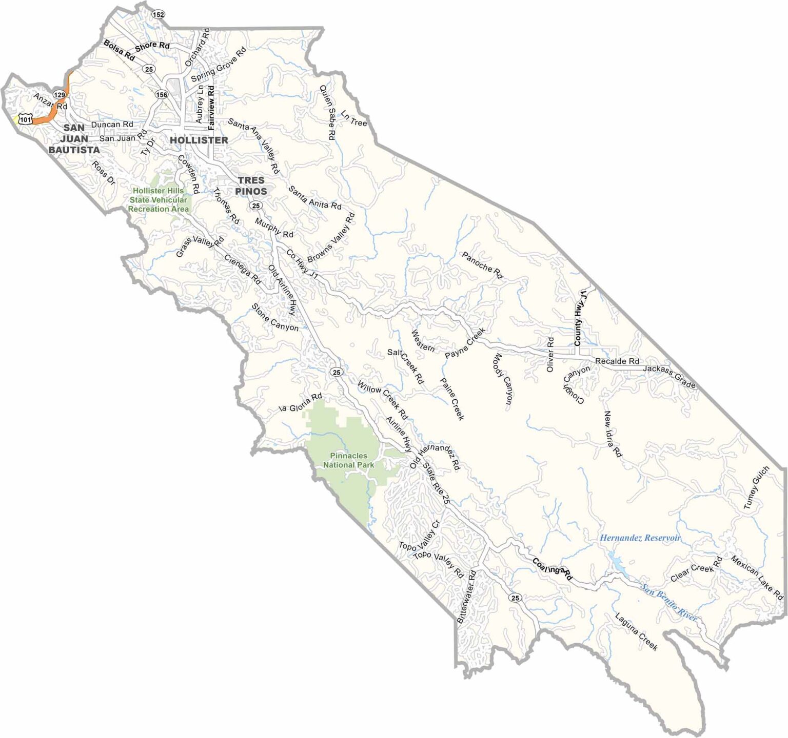
San Benito County is tucked between California’s Central Valley and the Pacific Coast. Hollister serves as the county seat and largest community, giving the area a relaxed, small-town atmosphere.
Agriculture plays an important role in the local economy, while the county also offers plenty of opportunities for outdoor recreation. Pinnacles National Park extends into San Benito County and is known for its dramatic rock formations, hiking trails, and excellent rock-climbing opportunities.
Highway 25 winds through the county’s scenic countryside, connecting Hollister with surrounding communities and the greater Bay Area. With a population of around 70,000, San Benito County maintains a rural character despite being relatively close to Silicon Valley.
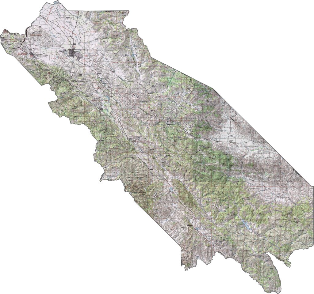
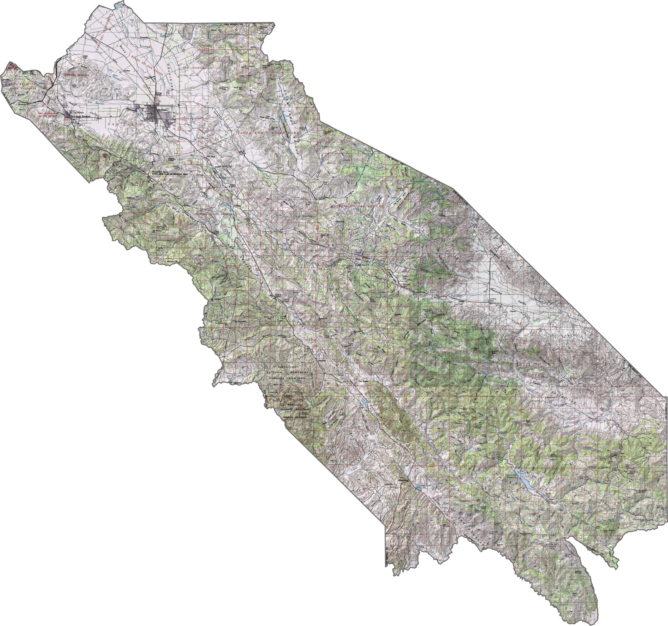
This topographic map highlights San Benito County’s valleys and rugged mountains within California’s interior Coast Range. The detailed contours show the varied terrain around the fertile Hollister Valley.
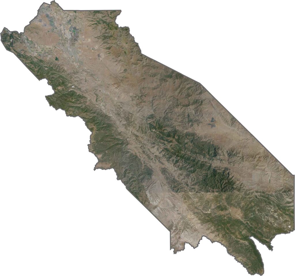
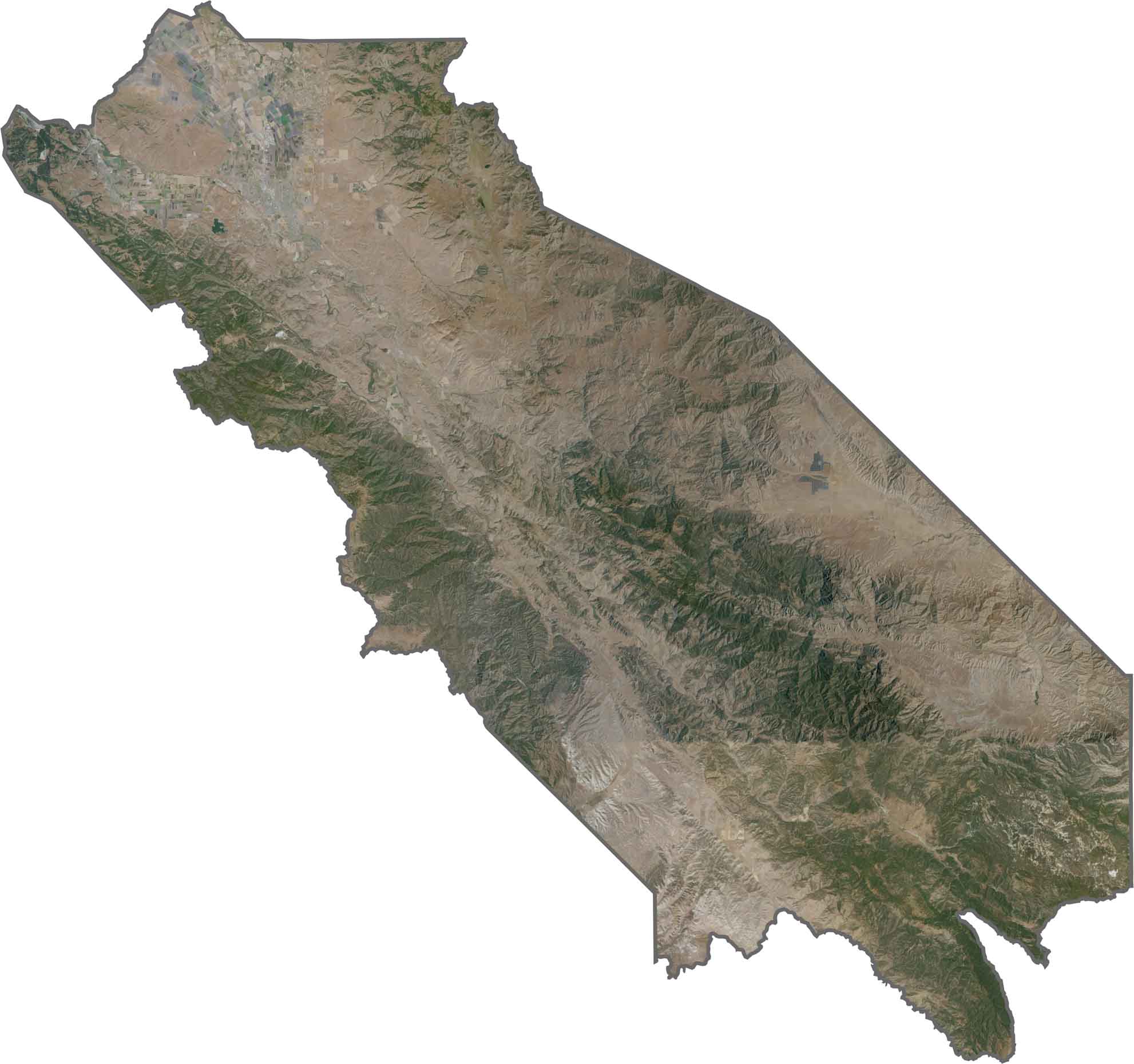
This satellite map reveals the parallel ridges and valleys of San Benito County’s interior Coast Range. Hollister and San Juan Bautista stand out as developed communities surrounded by predominantly agricultural landscapes.
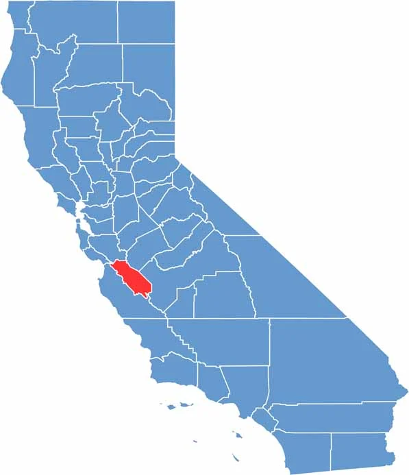
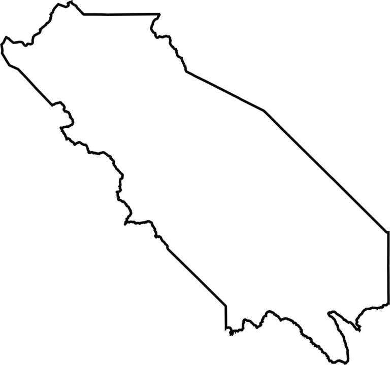
This blank map outlines San Benito County’s irregular shape within California’s Coast Range region. The simple design highlights the county’s inland setting and mountainous surroundings.








Ever wonder how California’s 58 counties are organized? Our California county map lays them all out, from the Pacific Coast to the vast desert regions. Explore the map to find the counties you know—and perhaps discover a few you don’t.