
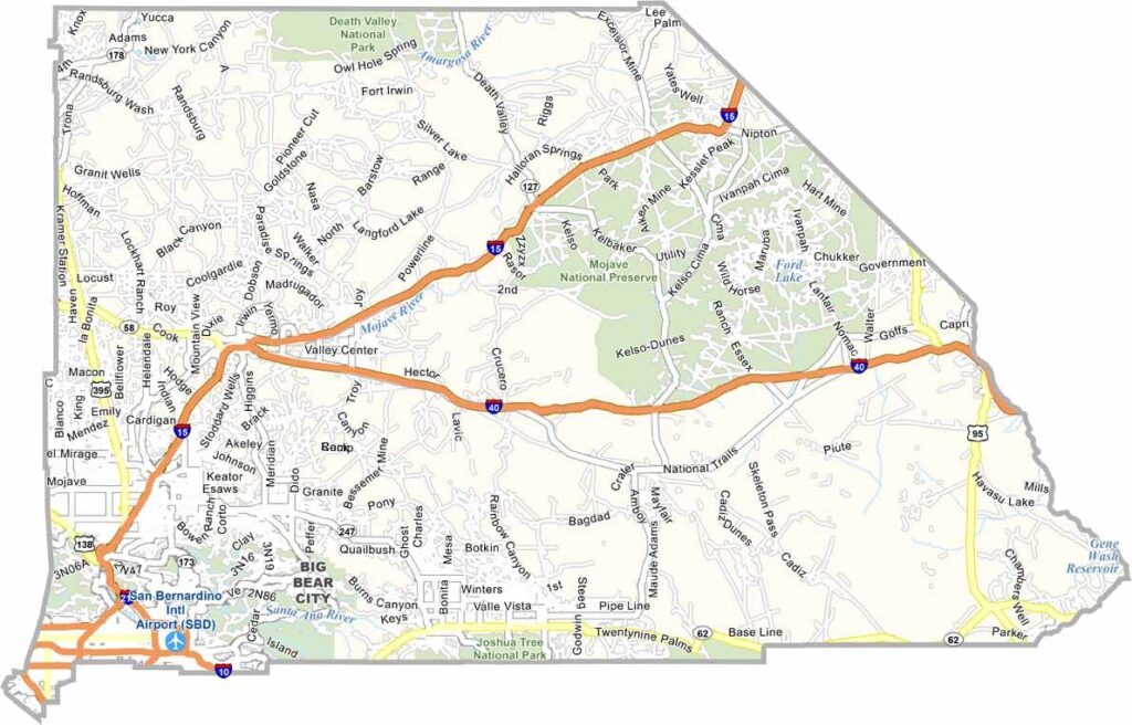
San Bernardino County is the largest county in the United States by area, stretching from the outskirts of Los Angeles to the Nevada border. Its enormous size gives the county an incredible variety of landscapes, from rugged mountains to vast desert plains.
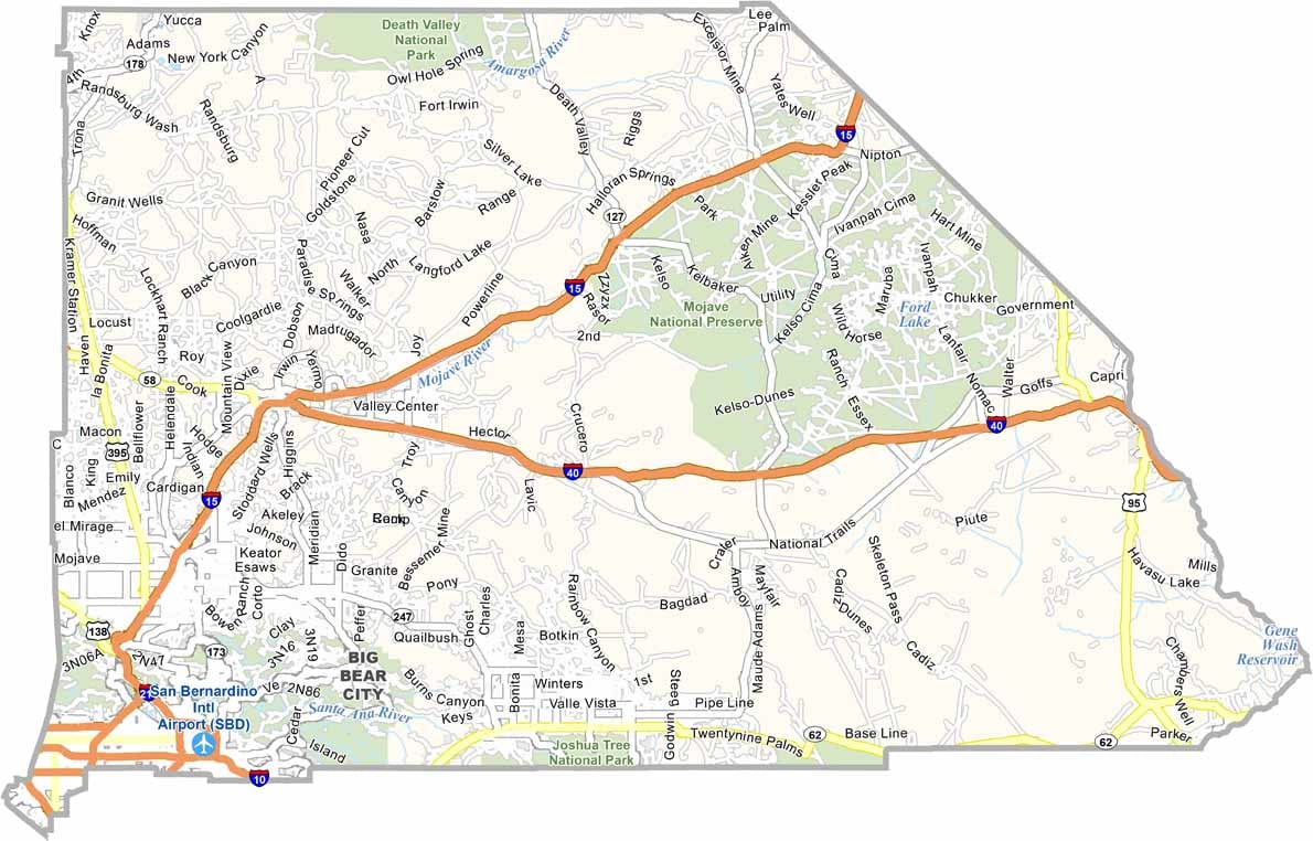
The county seat, San Bernardino, sits at the base of the San Bernardino Mountains. Interstate 15 and Interstate 40 run through the county, making it an important transportation hub connecting Southern California with the Southwest.
Mountain communities such as Big Bear offer skiing and other outdoor activities, while the desert landscapes around Joshua Tree are popular for rock climbing, hiking, and stargazing. Stretching all the way to Nevada, San Bernardino County showcases the vast and varied geography of California.
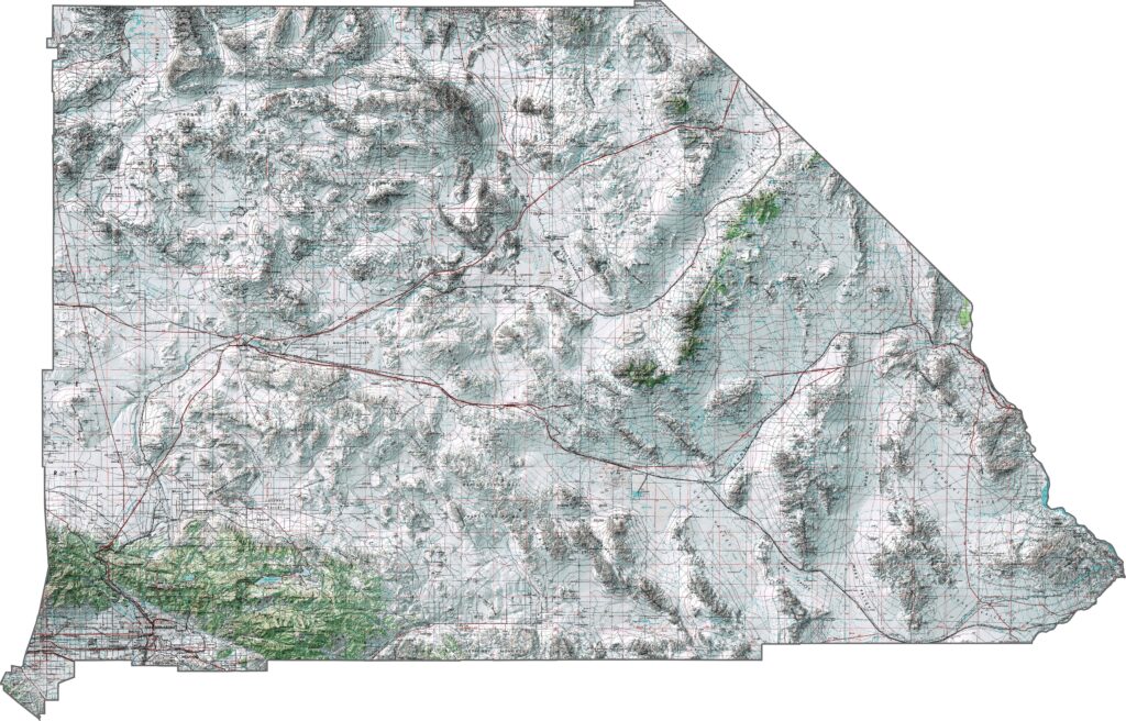
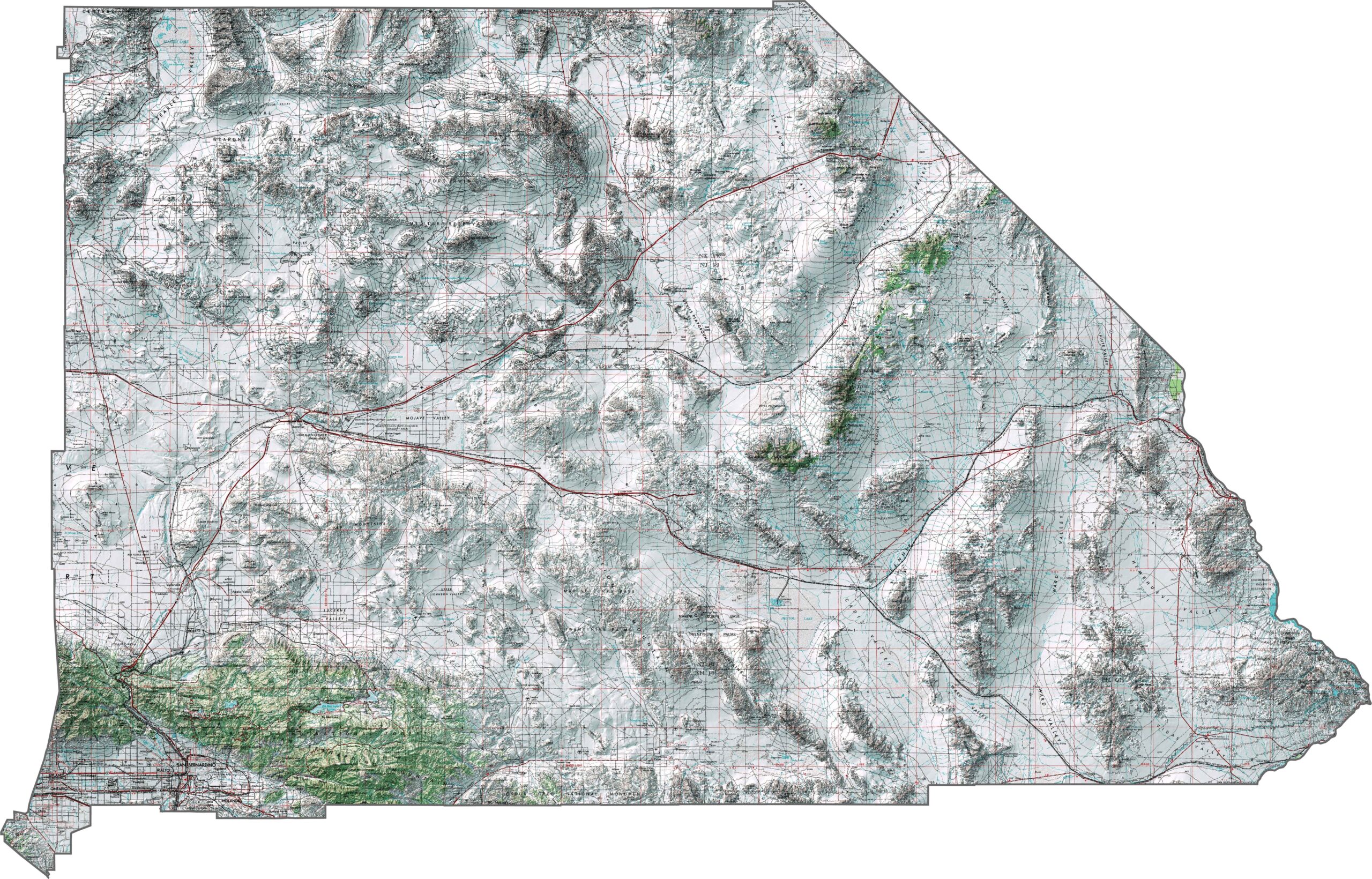
This topographic map highlights San Bernardino County’s extreme geographic diversity, with terrain ranging from high mountain ranges to vast low desert basins. The detailed contours reveal dramatic changes in elevation across this enormous county.
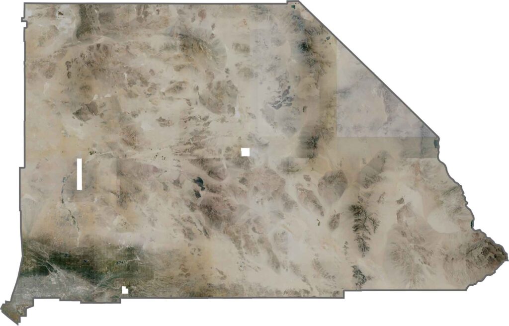
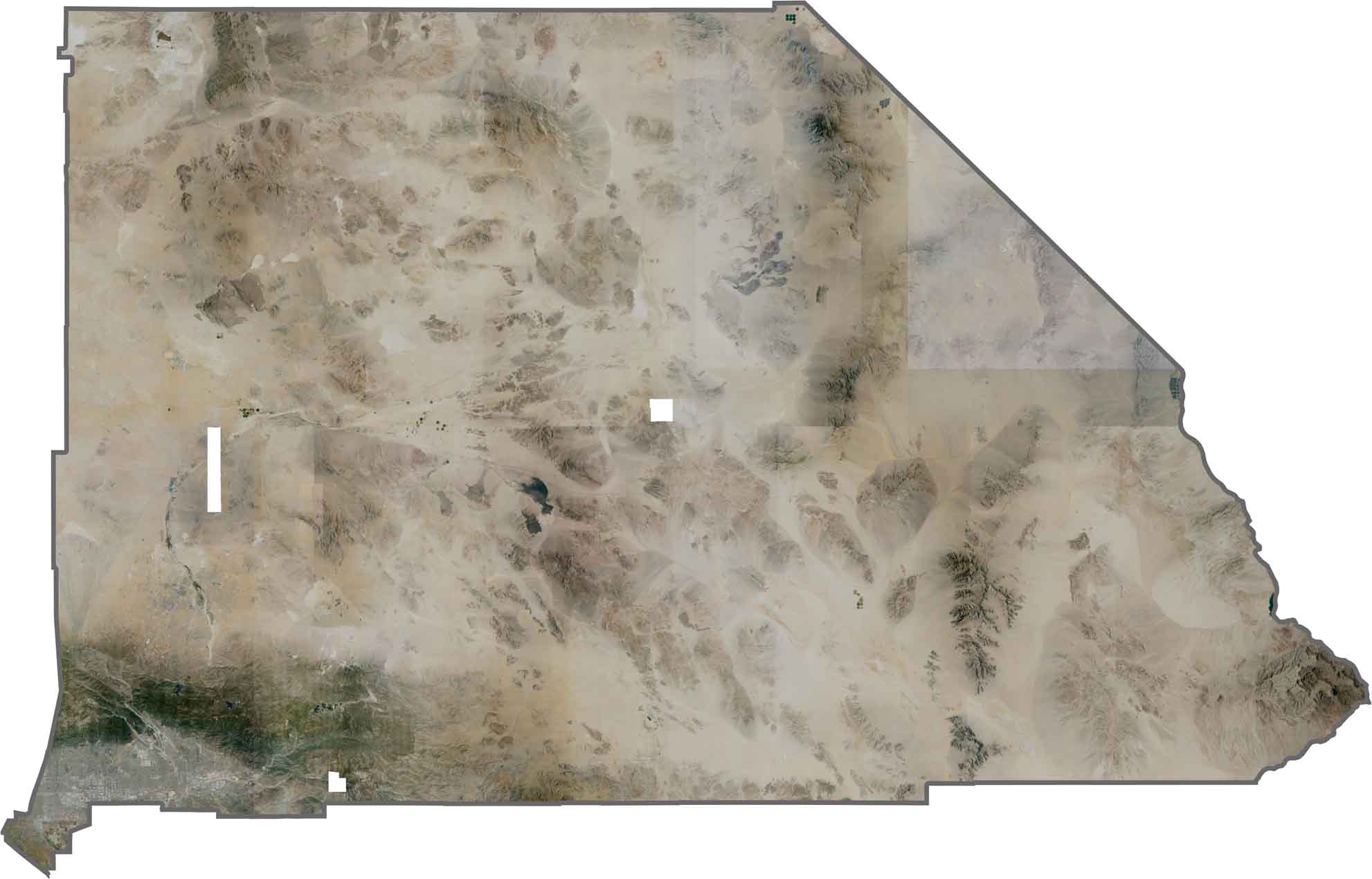
This satellite map shows the striking contrast between desert basins, rugged mountain ranges, and developed urban areas. From the Mojave Desert to the San Bernardino Mountains, a wide variety of landscapes fills the county.
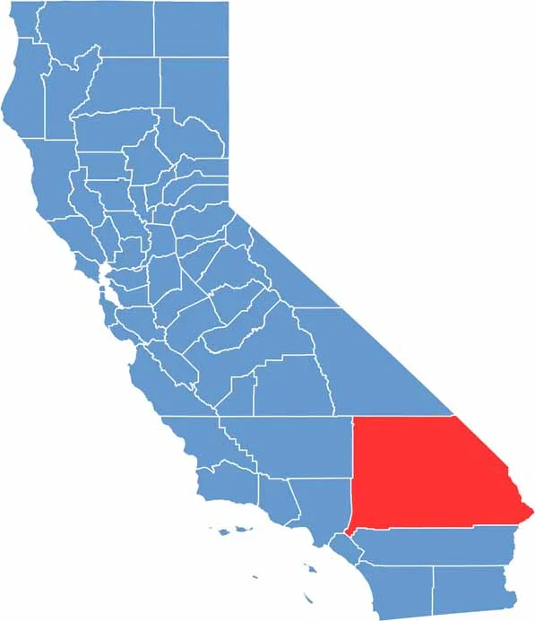
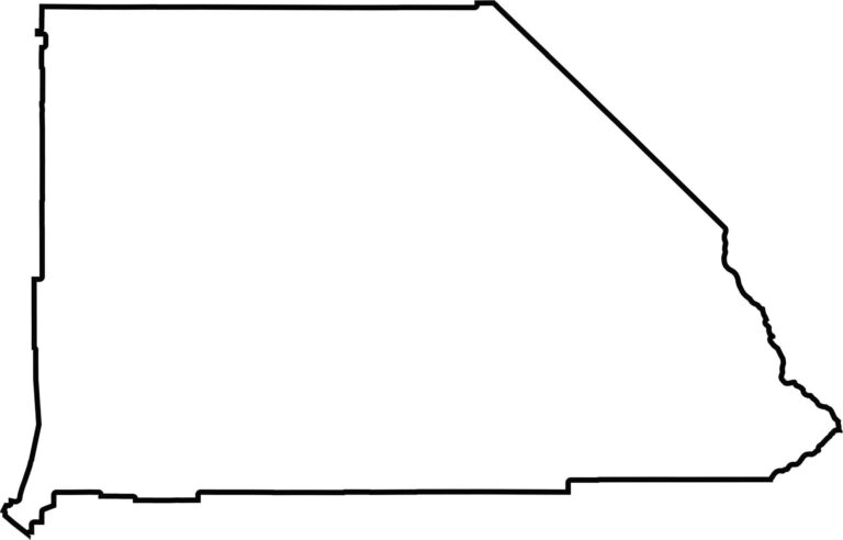
This blank map outlines San Bernardino County’s enormous shape across southeastern California. The simple template highlights California’s largest county by area, stretching from the Los Angeles region toward the Nevada and Arizona borders.








Ever wonder how California’s 58 counties are organized? Our California county map lays them all out, from the Pacific Coast to the vast desert regions. Explore the map to find the counties you know—and perhaps discover a few you don’t.