
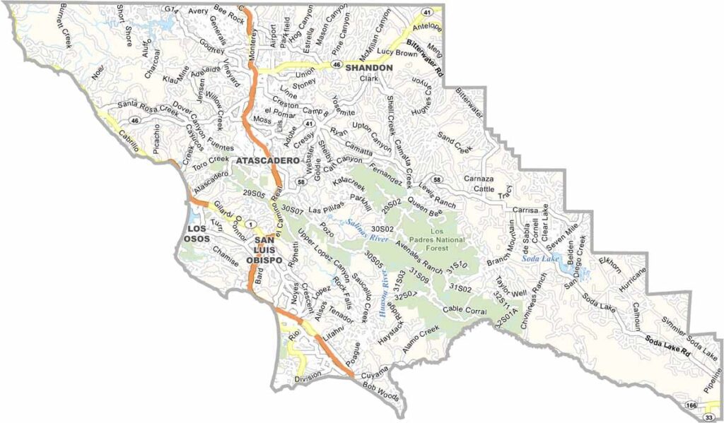
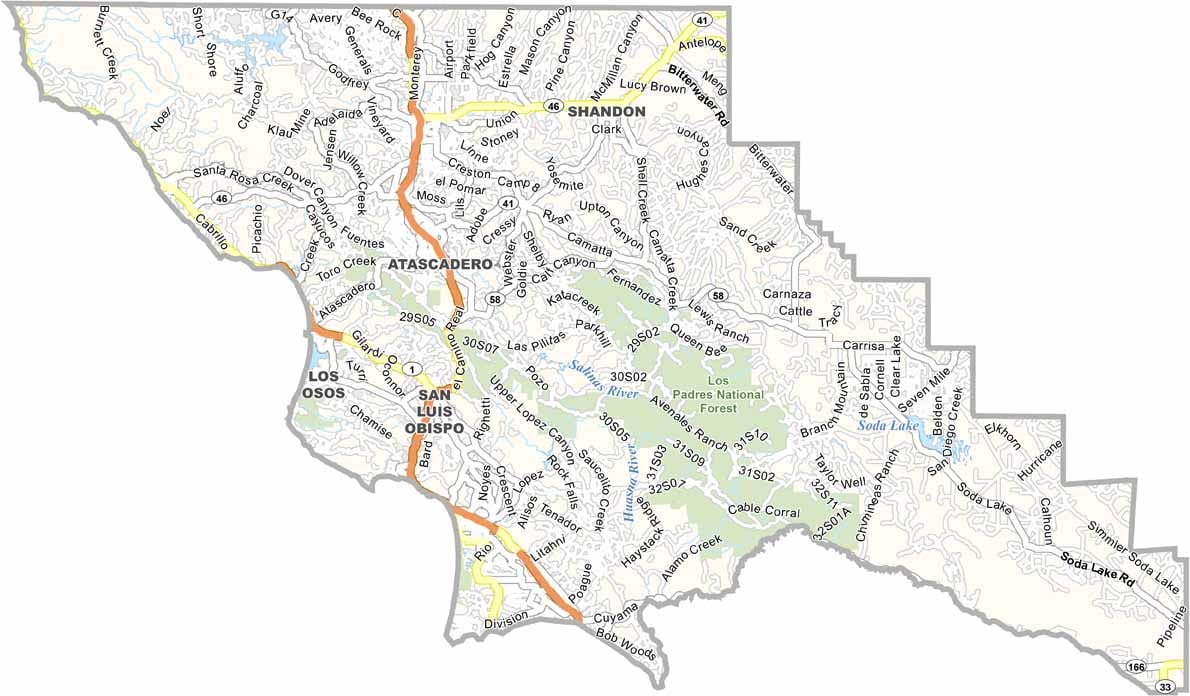
San Luis Obispo County, often called SLO County, is located along California’s Central Coast, roughly halfway between Los Angeles and San Francisco. San Luis Obispo has a lively college-town atmosphere thanks to California Polytechnic State University, San Luis Obispo.
Pismo Beach is known for its beaches, clamming, and nearby dunes, while Paso Robles has become a major wine destination with vineyards stretching across the countryside. Morro Bay is another popular coastal community, famous for its massive Morro Rock and fresh seafood.
SLO County is generally less crowded than Southern California while still offering beautiful beaches and plenty of outdoor recreation. With its combination of sunshine, surf, wine country, and peaceful coastal scenery, it offers a relaxed Central Coast experience.
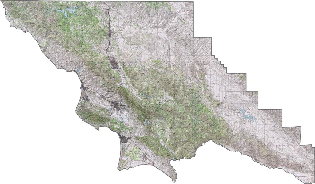
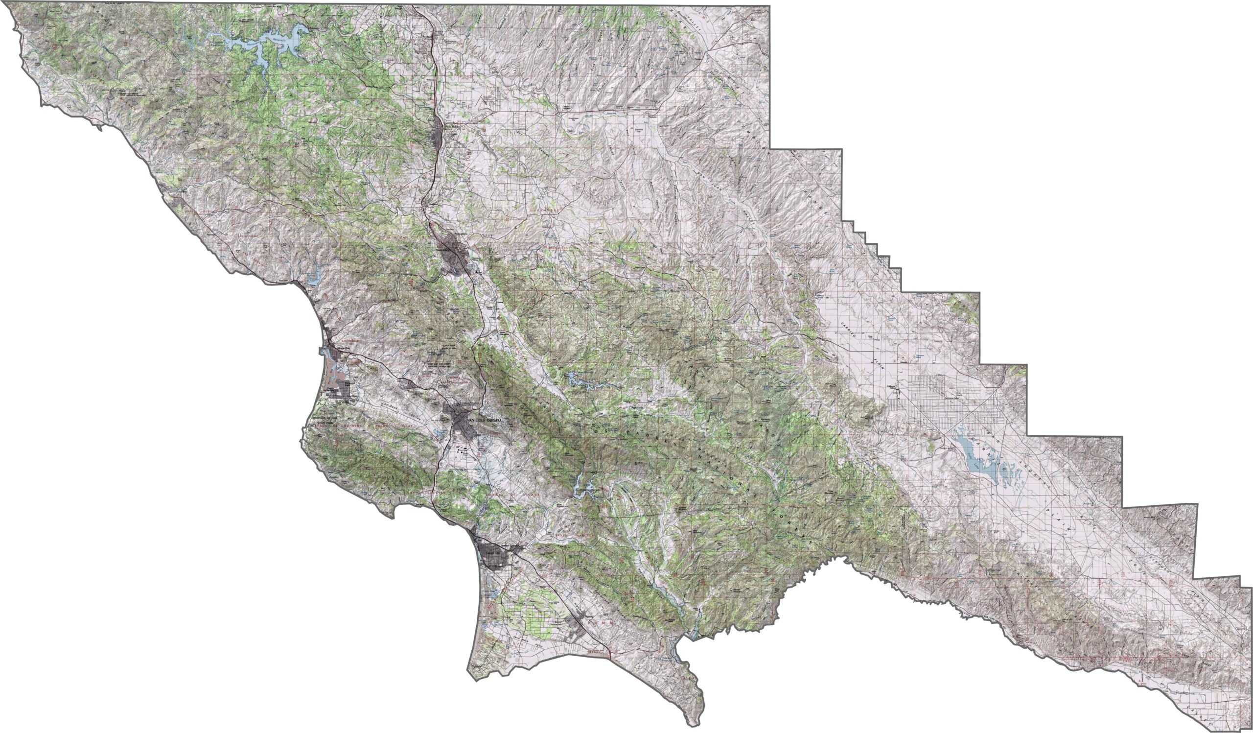
This topographic map highlights San Luis Obispo County’s diverse Central Coast landscape, including coastal terraces, inland valleys, and mountain ranges such as the Santa Lucia Mountains. The contour lines reveal the county’s varied terrain and elevation changes.
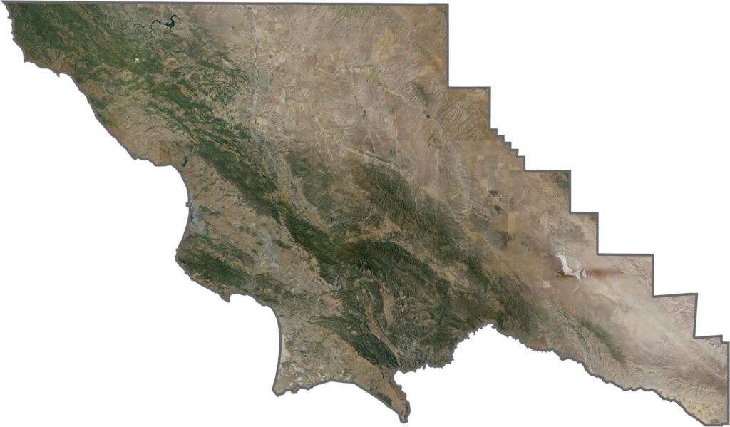
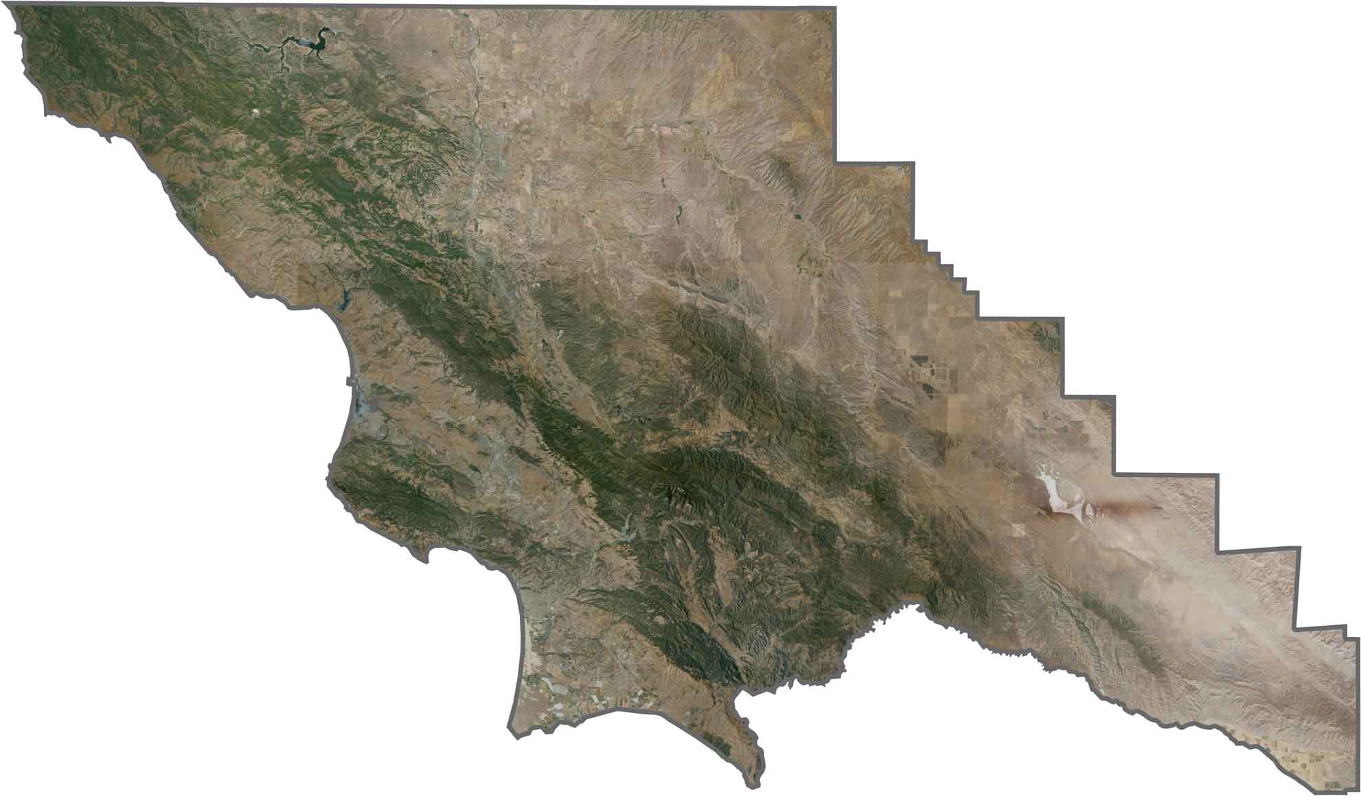
This satellite map shows the contrast between San Luis Obispo County’s coastal terraces and inland valleys. Morro Bay and its distinctive Morro Rock stand out as prominent landmarks along the coast.
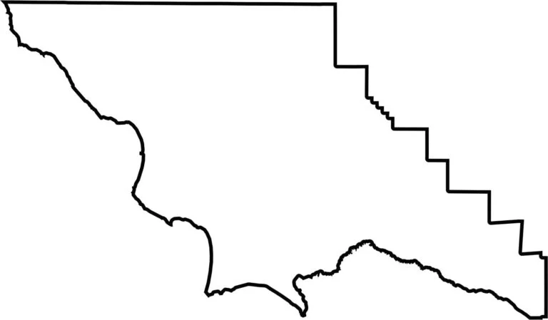
This blank map outlines San Luis Obispo County’s shape along California’s Central Coast. The western edge follows the Pacific shoreline, while the eastern boundary extends into the Coast Range.








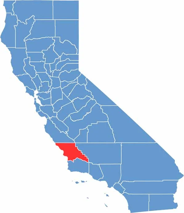
Ever wonder how California’s 58 counties are organized? Our California county map lays them all out, from the Pacific Coast to the vast desert regions. Explore the map to find the counties you know—and perhaps discover a few you don’t.