
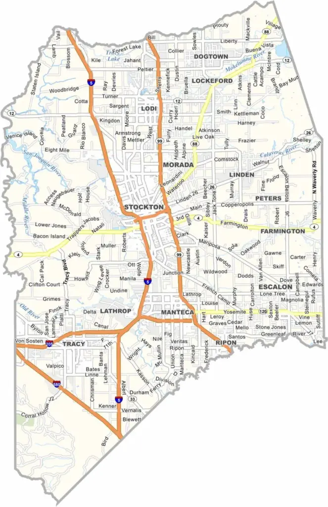
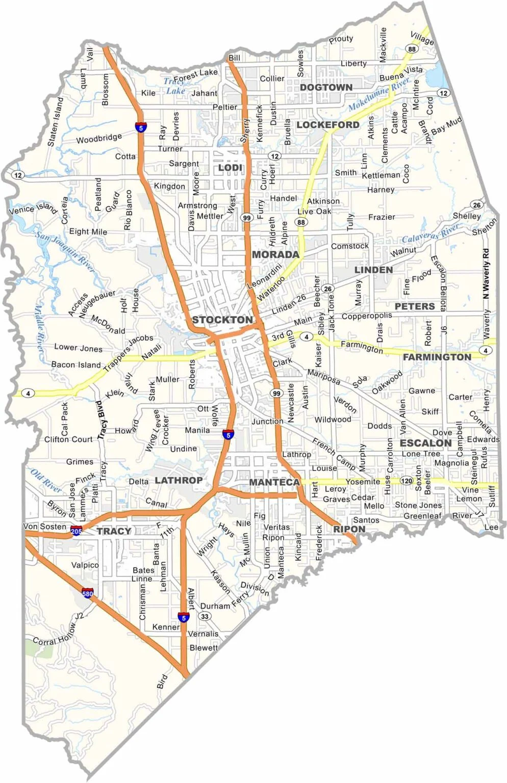
San Joaquin County is located in California’s Central Valley, with Stockton serving as the county seat and largest city. The region is known for its productive farmland, particularly its cherries, asparagus, and other fresh produce.
The Sacramento-San Joaquin Delta is a major attraction, offering opportunities for boating, fishing, and exploring its network of waterways. Lodi is also known for its wineries, adding a touch of wine country to the agricultural landscape.
With a population of around 820,000, San Joaquin County combines growing urban communities with expansive rural areas. While it may not be a major tourist destination, its fertile farmland, waterways, and local wineries give the county plenty of character.
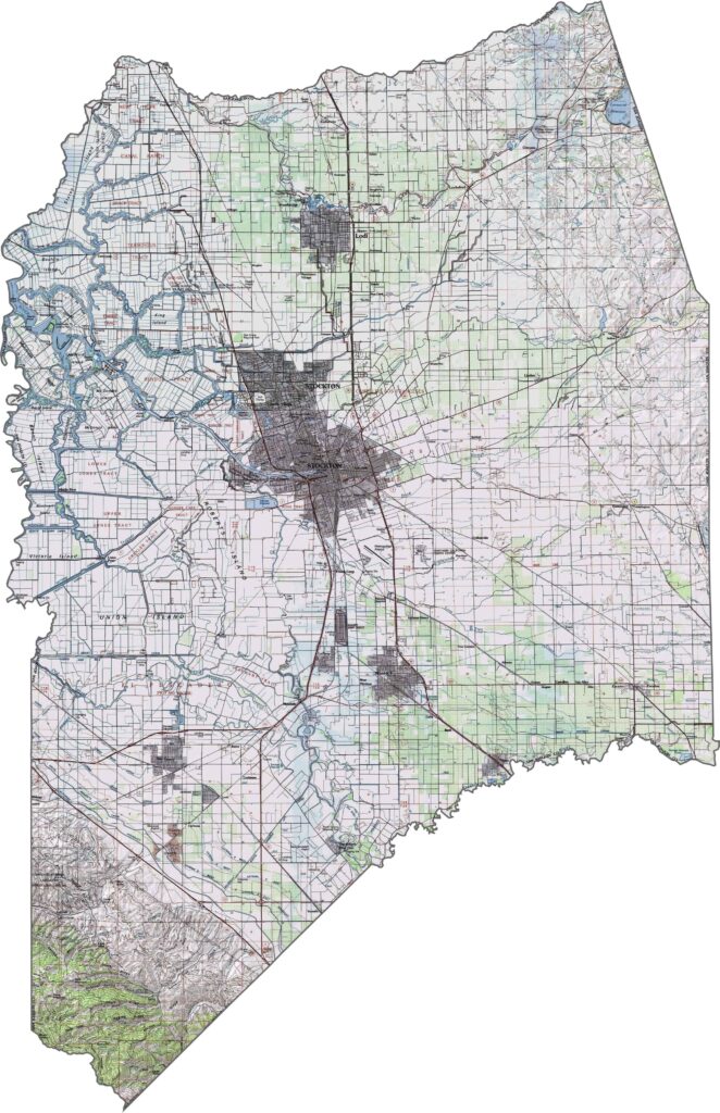
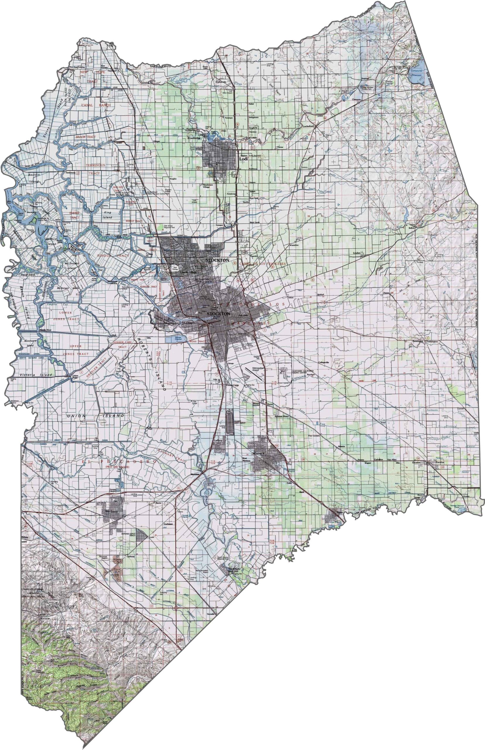
This topographic map highlights San Joaquin County’s level terrain and expansive agricultural lands in the northern San Joaquin Valley. The detailed contours reveal the subtle elevation changes across the county’s flat landscape.
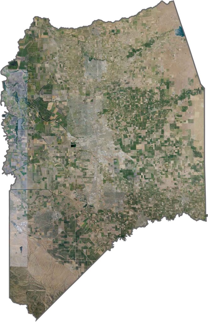
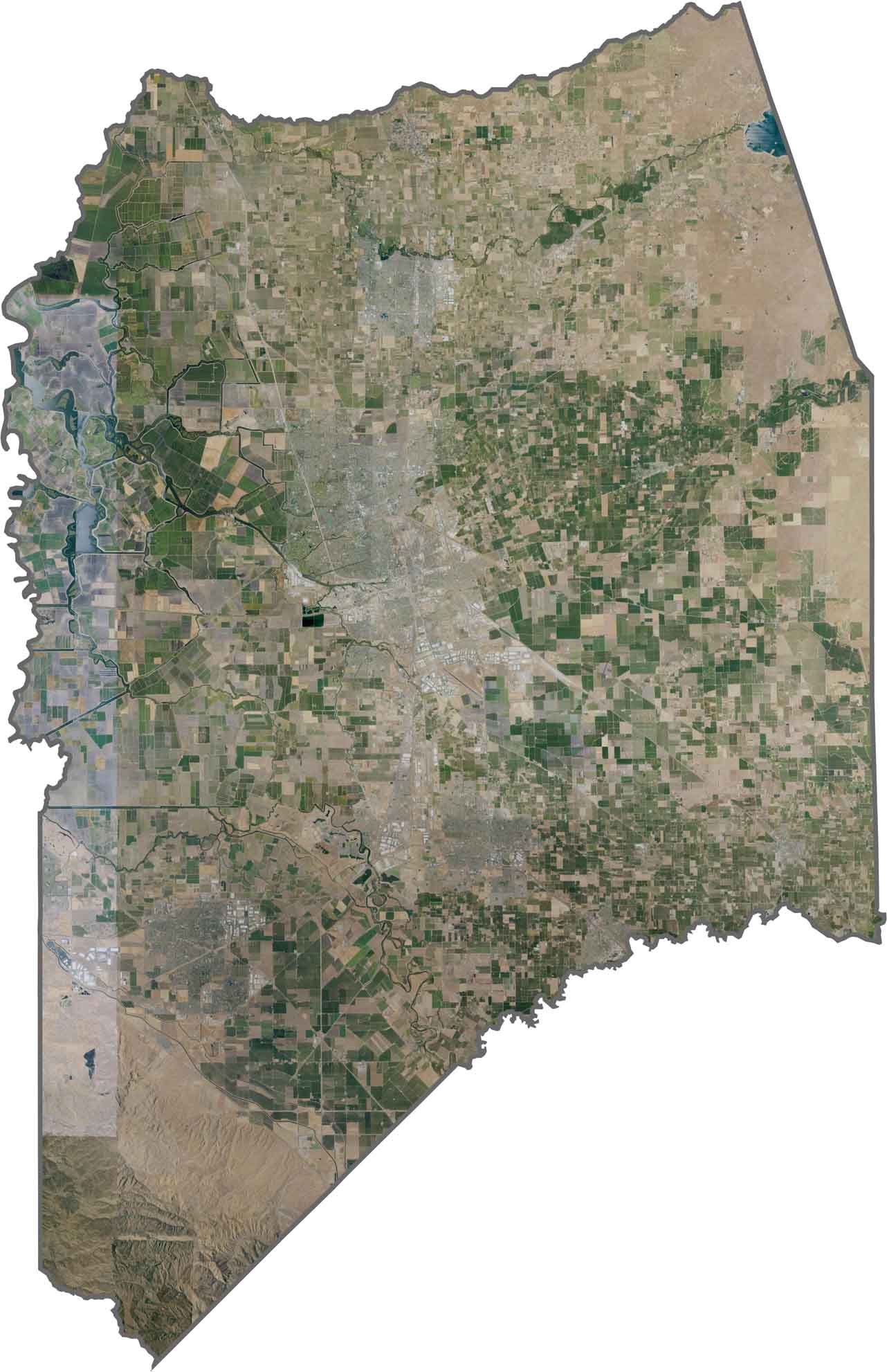
This satellite map shows the maze of waterways and channels that make up the Sacramento-San Joaquin Delta in the western part of the county. Agricultural fields dominate much of the landscape, while Stockton stands out as the main urban center.
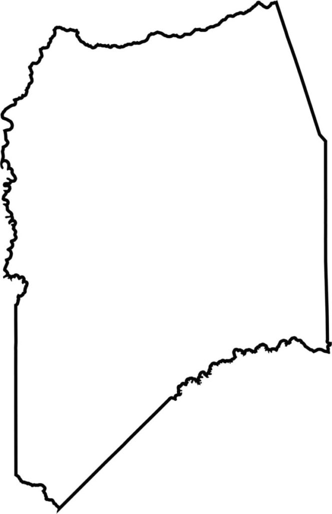
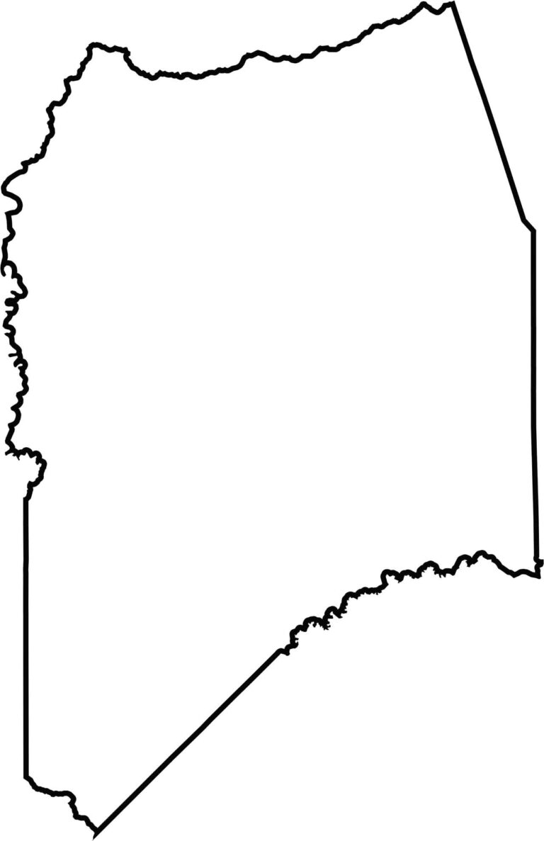
This blank map outlines San Joaquin County’s irregular shape in the northern San Joaquin Valley. The western portion includes parts of the Sacramento-San Joaquin Delta, creating a distinctive geographic setting for the county.







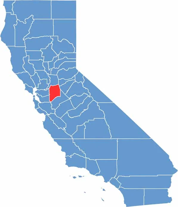
Ever wonder how California’s 58 counties are organized? Our California county map lays them all out, from the Pacific Coast to the vast desert regions. Explore the map to find the counties you know—and perhaps discover a few you don’t.