
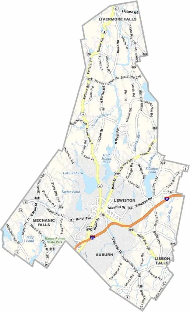
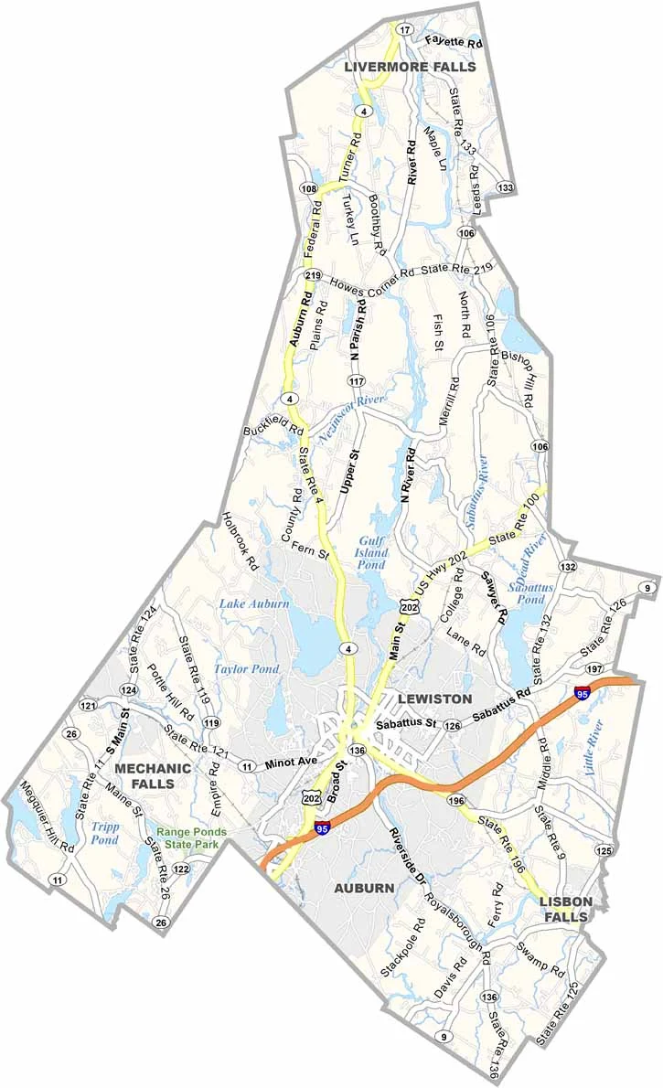
Androscoggin County sits in south-central Maine, stretching along the mighty Androscoggin River. It’s a place of contrasts, with old mill towns alongside college campuses.
Lewiston, the county’s largest city, is home to Bates College. Auburn sits just across the river as its twin and serves as the county seat. Together, the two cities form Maine’s second-largest metro area.
But venture outside the cities, and you’re in for a treat. Lakes dot the landscape, hiking trails wind through forests, and rolling farmland sits alongside lively downtowns.
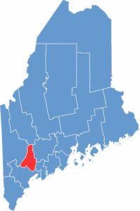
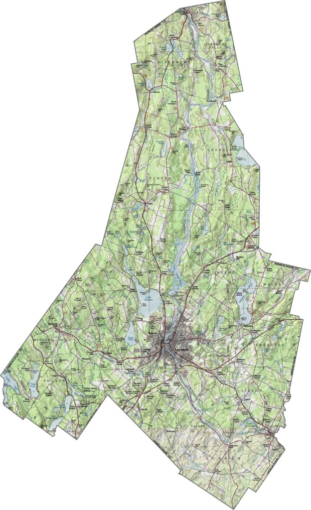
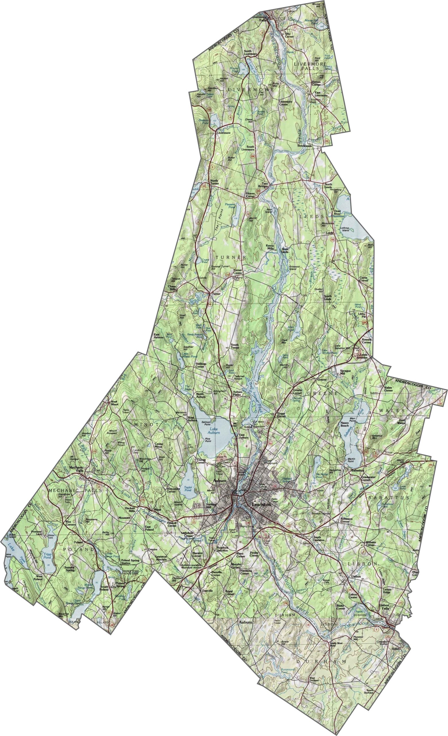
Androscoggin County features a mix of rolling hills and gentle valleys. While much of the land is covered by forests, some areas open up into farmland. Explore all the details of this Maine county with our interactive zoom tool.
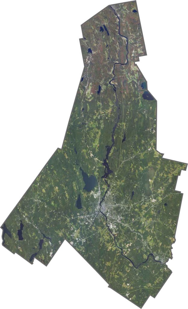
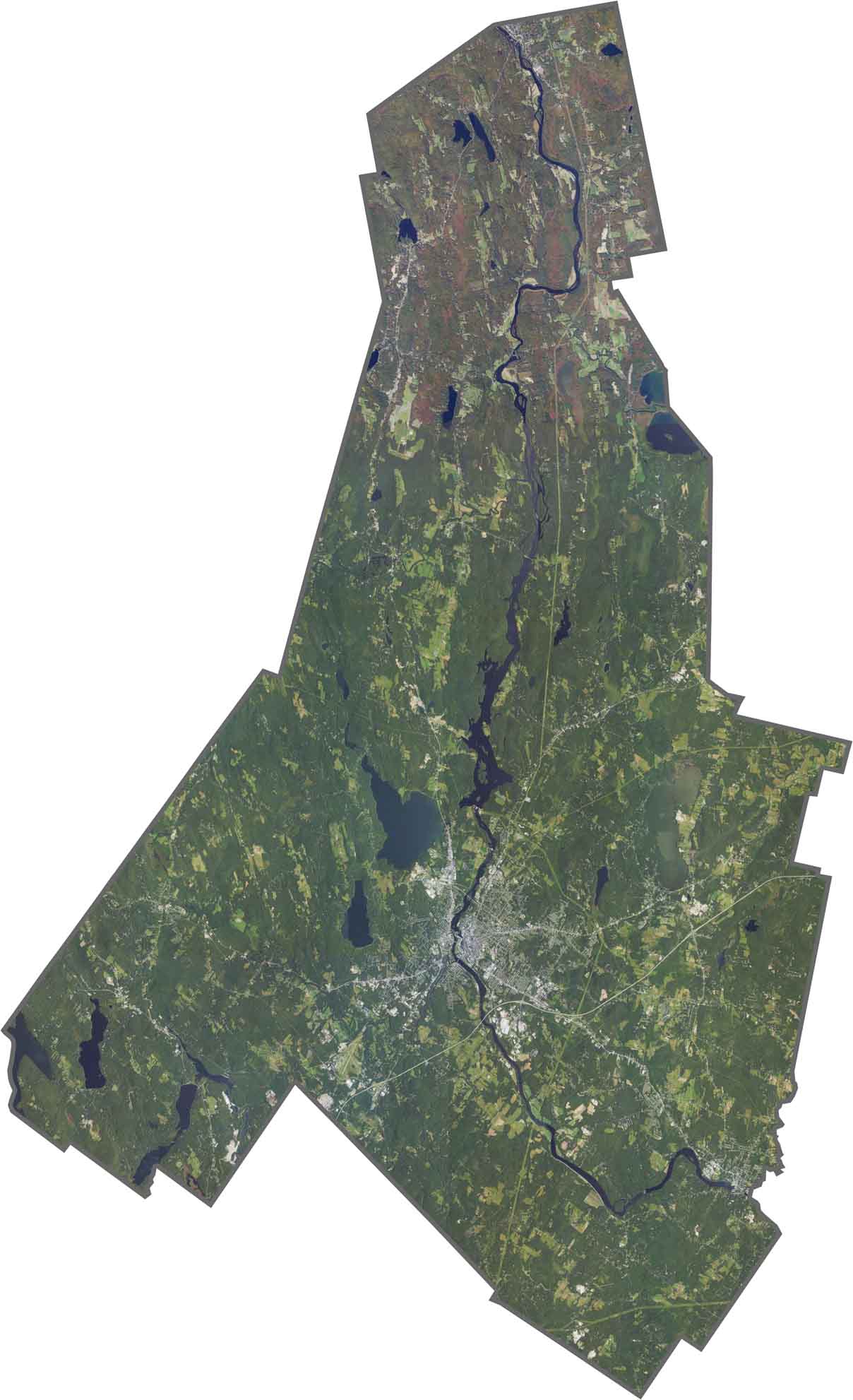
From above, dense green forests cover much of the county. The Androscoggin River winds through the landscape, standing out in dark blue. Small towns line the river, with roads and buildings clustered nearby. Patches of farmland break up the forest in several areas.
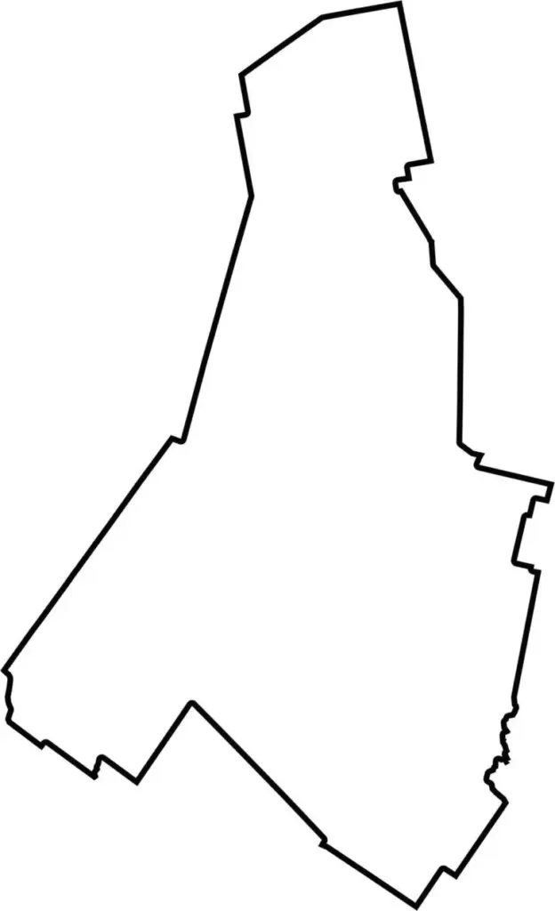
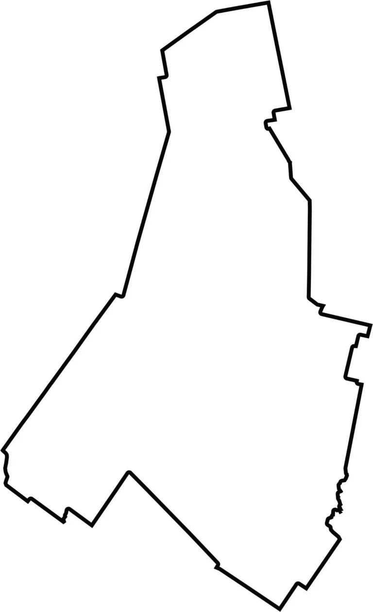
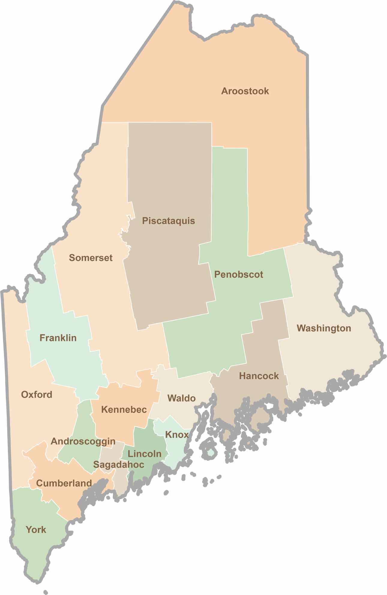
Androscoggin County has an irregular shape, stretching wider in the south and becoming narrower toward the north. The county borders Oxford County to the west and Kennebec County to the east.
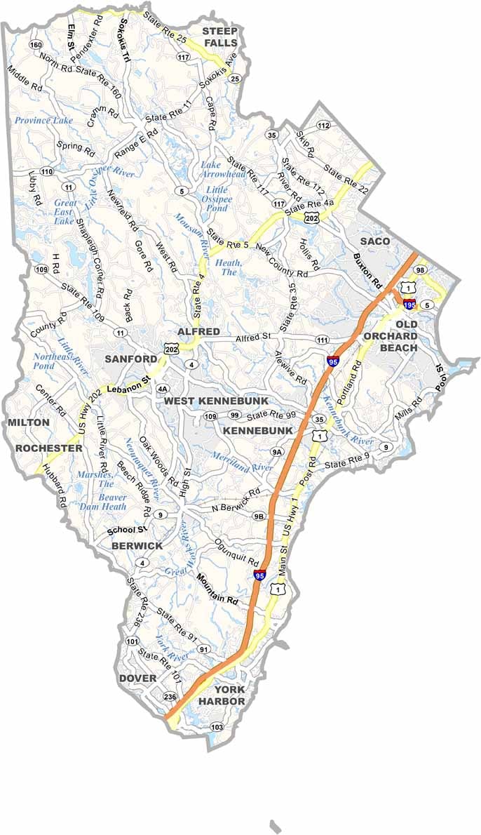
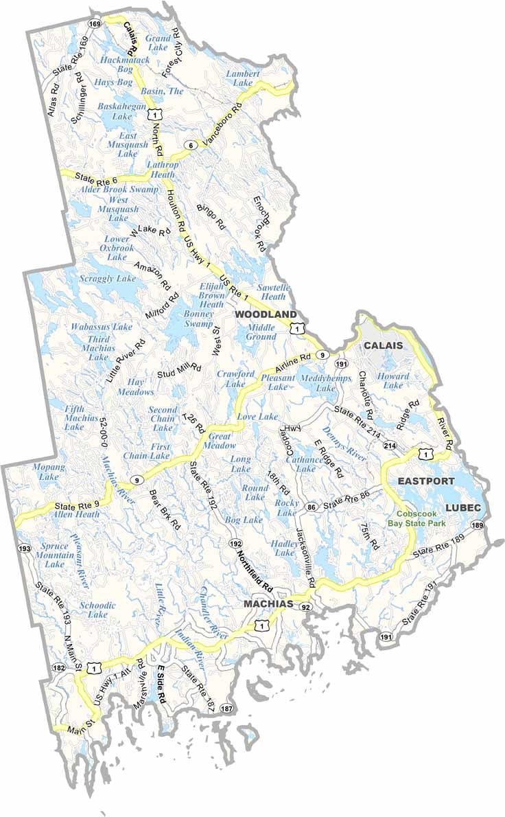
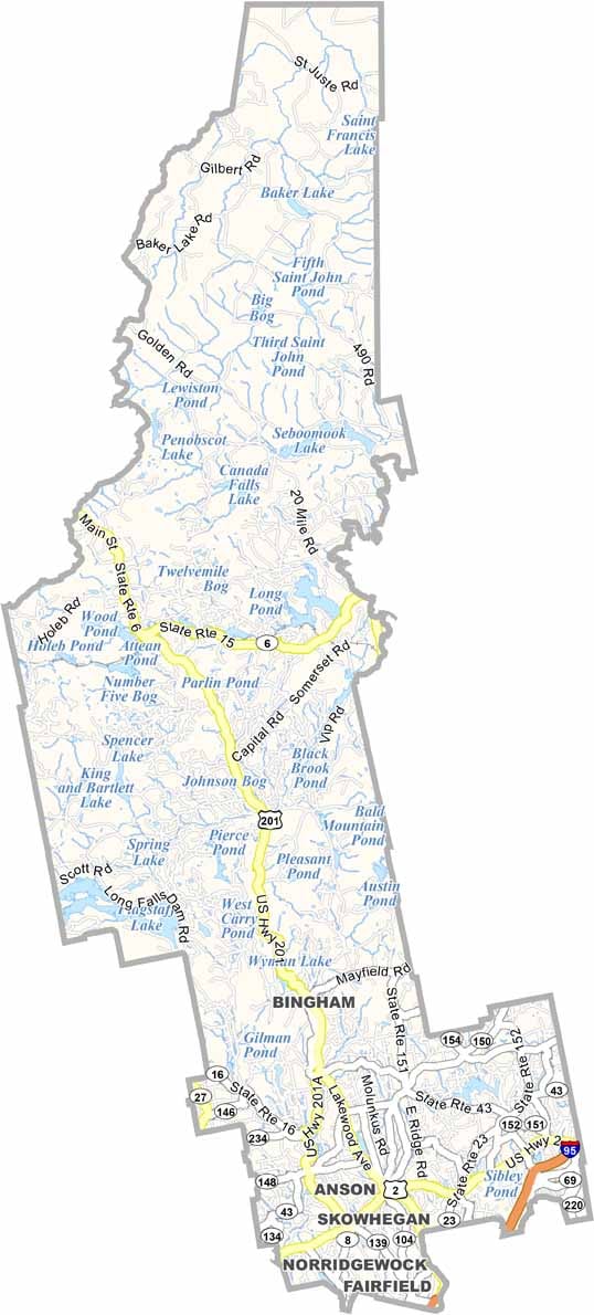
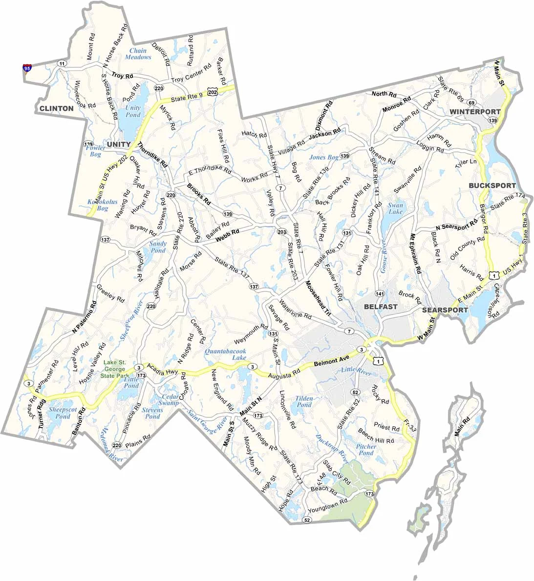
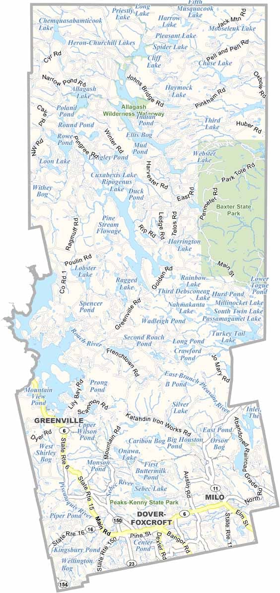
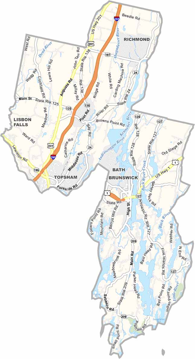
Life moves at the pace of the tides here. One day might be spent hiking forest trails, and the next watching fog roll over quiet harbors. Discover what makes each county special with our Maine county maps.