
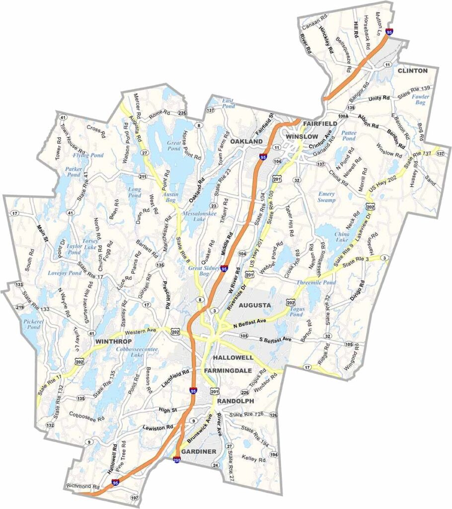
Kennebec County sits in the middle of Maine, stretching from the state capital of Augusta to the shores of beautiful lakes.
The Kennebec River runs through the heart of the county and was once a major route for Native Americans and early settlers. These days, it’s a paradise for kayakers and anglers.
Locals take pride in their maple syrup and apple orchards. If you’re into outdoor adventures, this is your playground, with hiking, camping, and wildlife watching all on the menu. It’s not flashy, but that’s part of the charm.
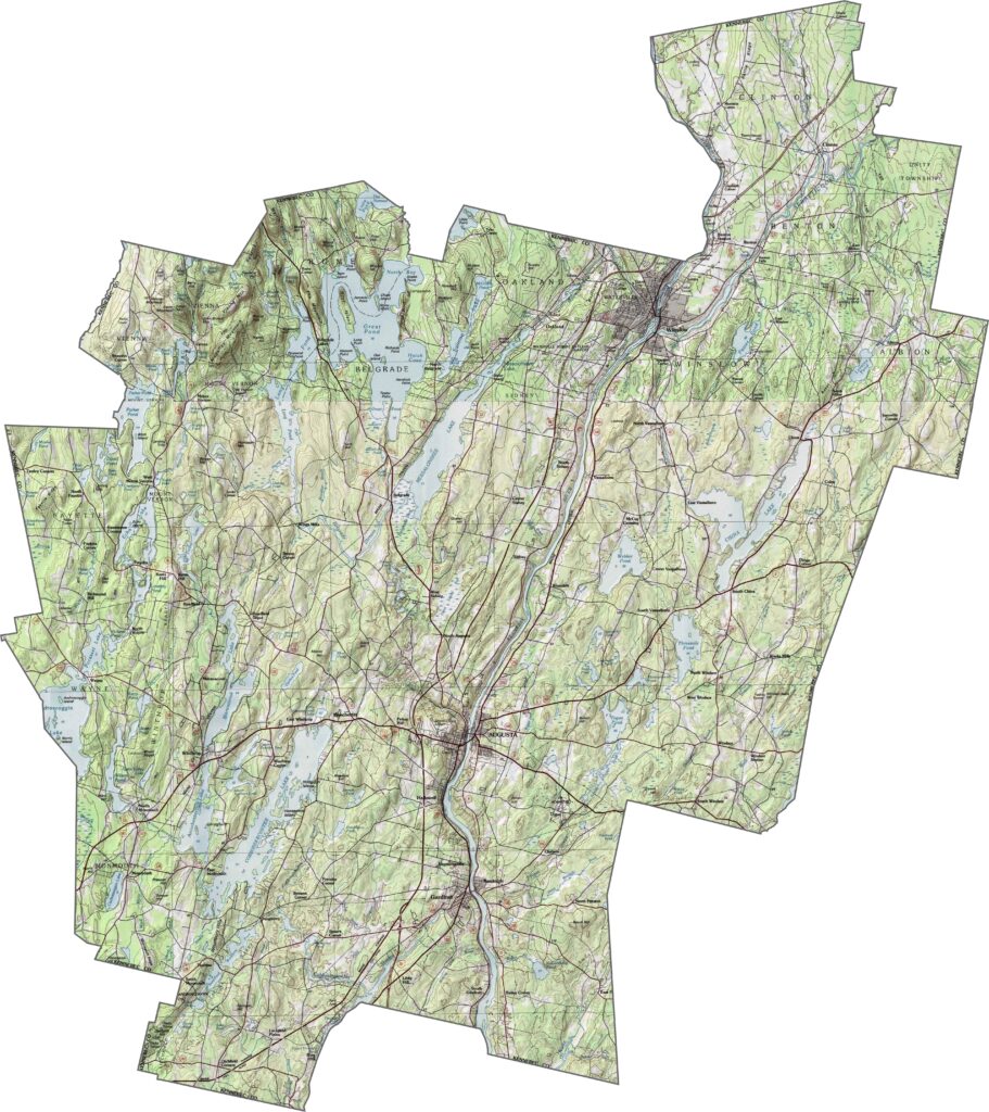
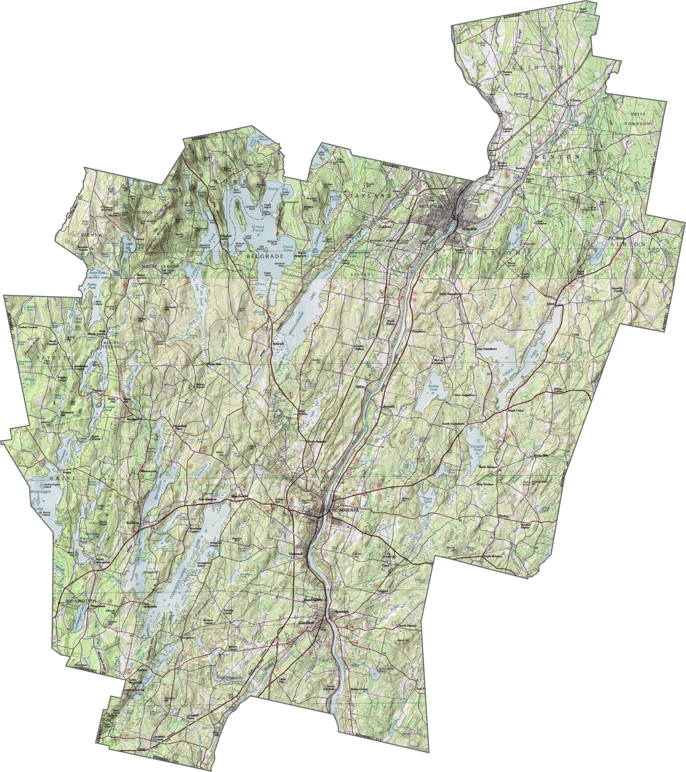
Kennebec County features a mix of rolling farmland and wooded hills. While the Kennebec River Valley is relatively flat, the land gradually rises toward the west. Small ridges appear throughout the landscape, breaking up the open fields. Zoom in to explore the subtle elevation changes with our topographic map below.
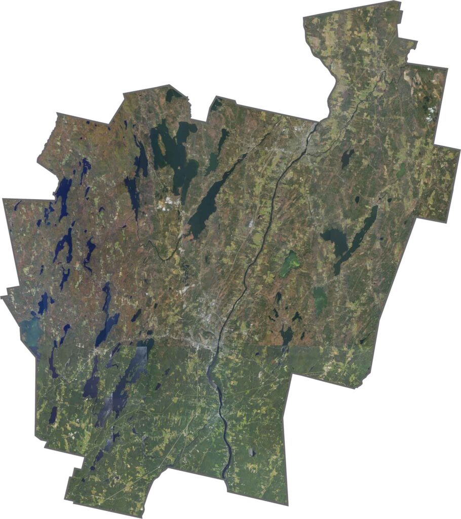
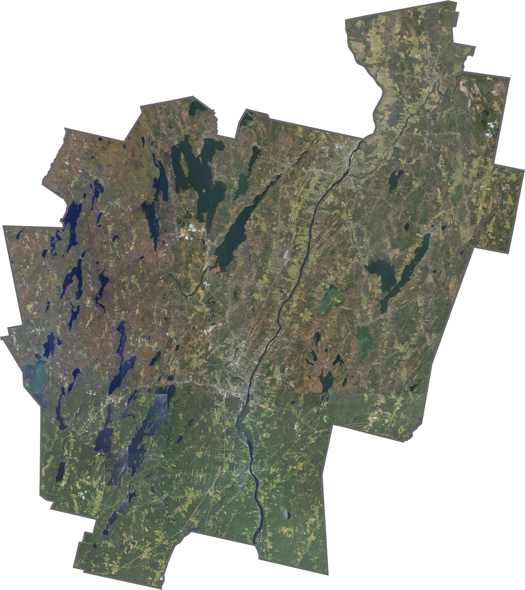
The Kennebec River is the most prominent feature on our satellite map, essentially dividing the county into two sections from west to east. Augusta’s urban area also stands out with its grid-like streets.
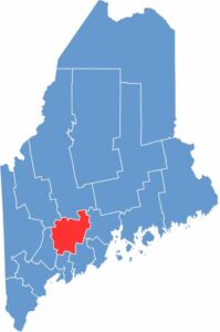
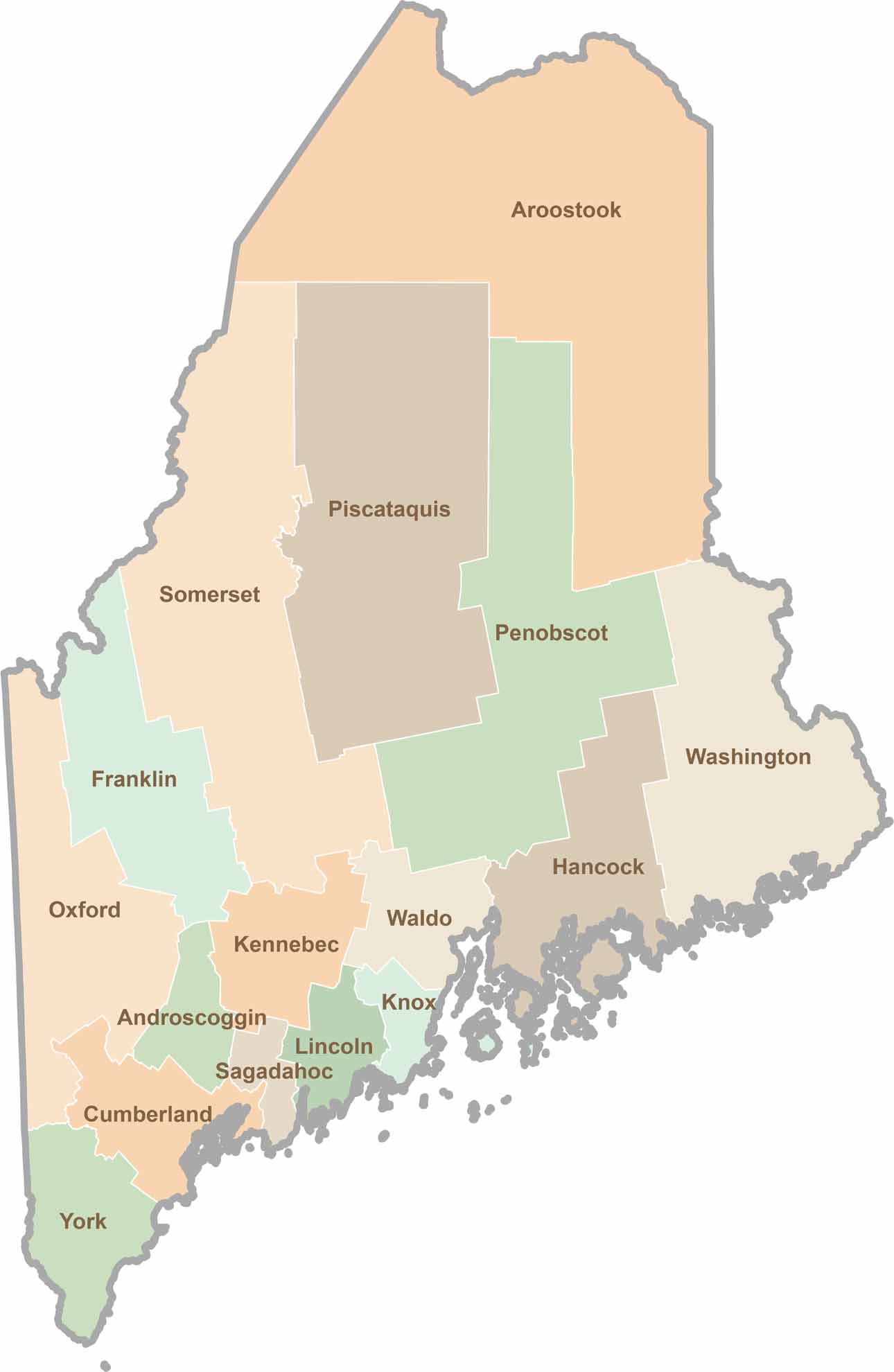
Kennebec County is long and narrow, stretching from northeast to southwest. It borders Somerset, Waldo, and Androscoggin Counties, along with a small section of Franklin County.
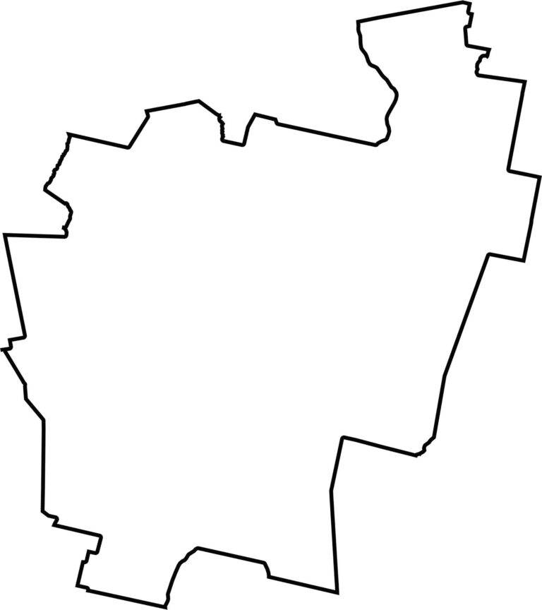
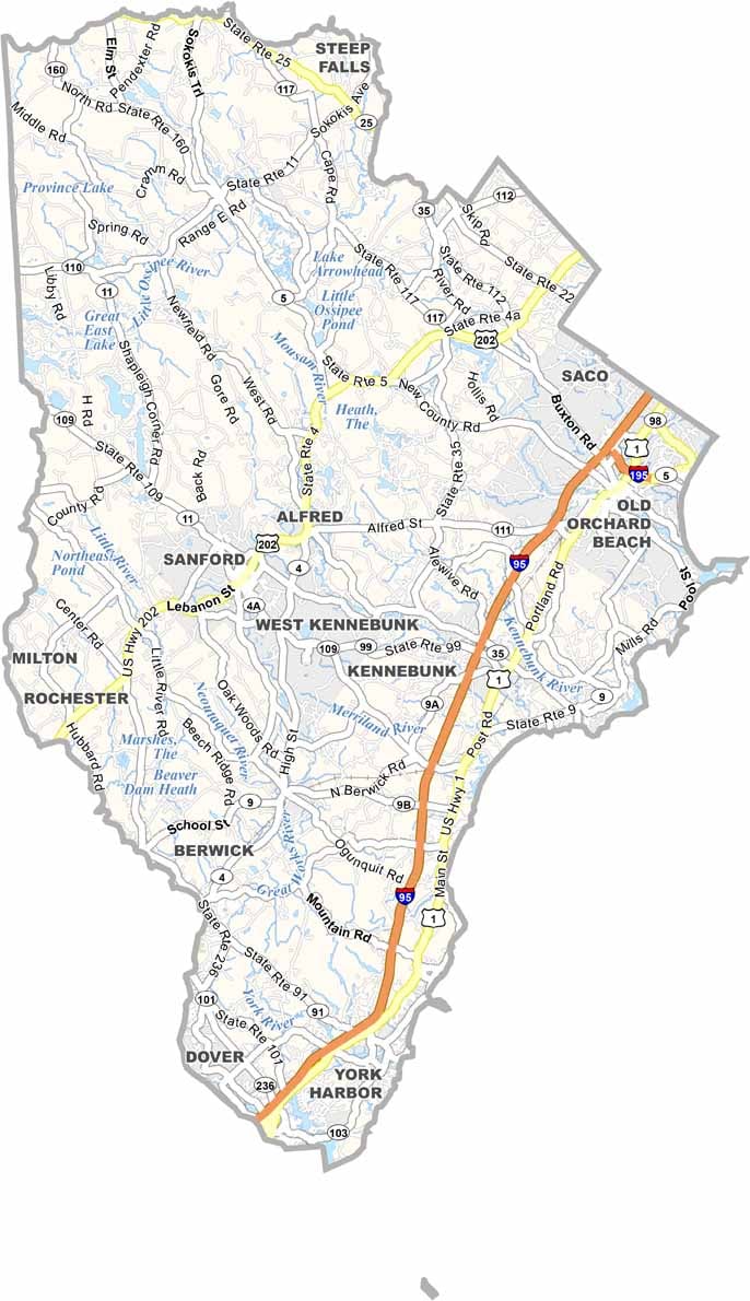
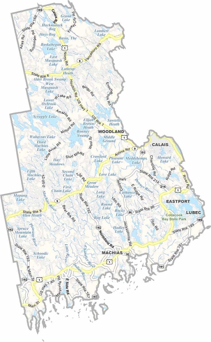
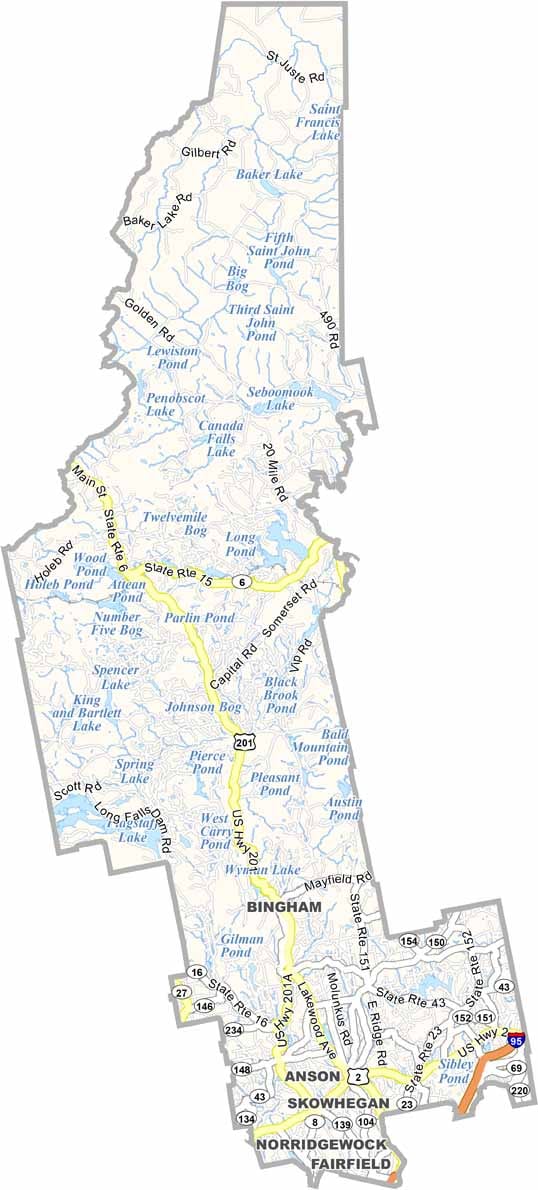
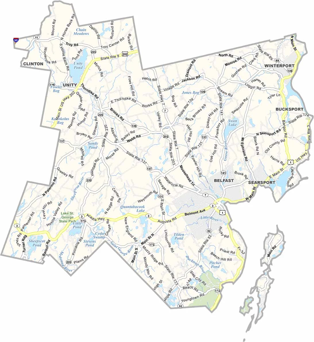
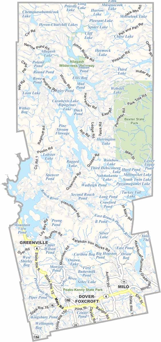
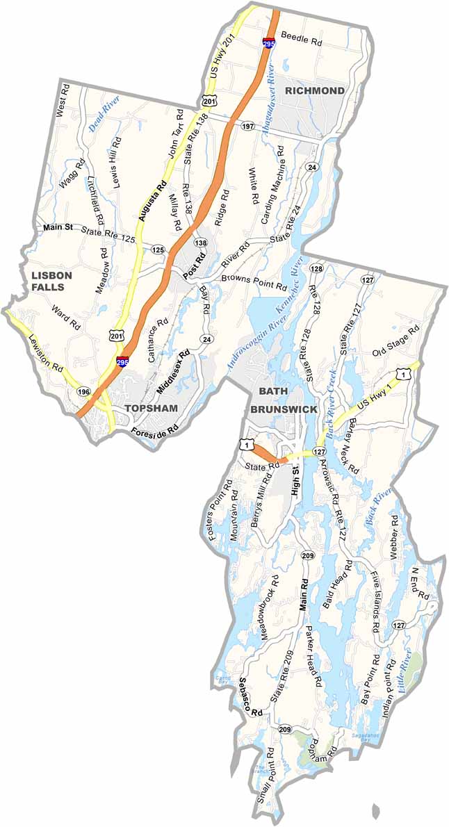
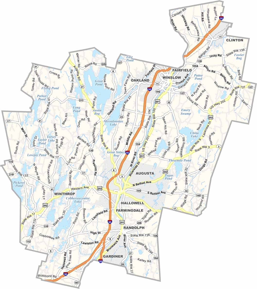

Life moves at the pace of the tides here. One day might be spent hiking forest trails, and the next watching fog roll over quiet harbors. Discover what makes each county special with our Maine county maps.