
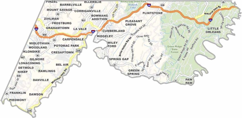
Allegany County, Maryland is located in Western Maryland, where the Appalachian Mountains create a scenic landscape of wooded hills, valleys, and outdoor recreation areas. The county’s mountain terrain makes it a popular destination for hiking, sightseeing, and exploring the natural beauty of western Maryland.
The county seat, Cumberland, has a long history as an important transportation center and features a historic downtown area. Today, visitors can explore the Great Allegheny Passage, a popular rail trail that runs through the region and provides opportunities for biking, hiking, and enjoying the surrounding Allegany County landscape.
Allegany County history is closely connected to industries such as coal mining and glass production, which once played major roles in the local economy. Today, the county combines its industrial heritage with outdoor recreation, historic communities, scenic mountain landscapes, and the small-town character of Western Maryland.
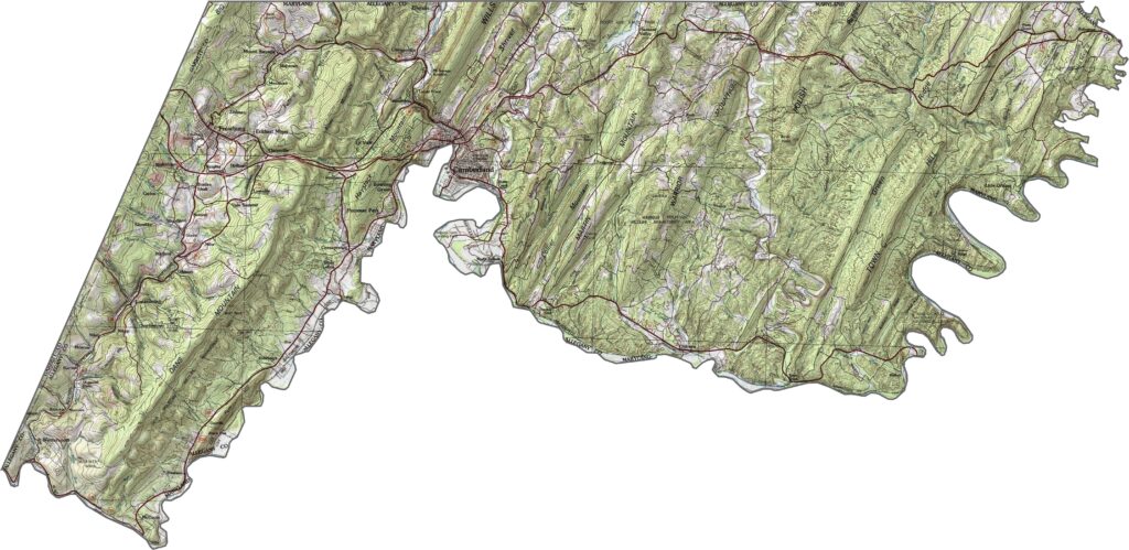
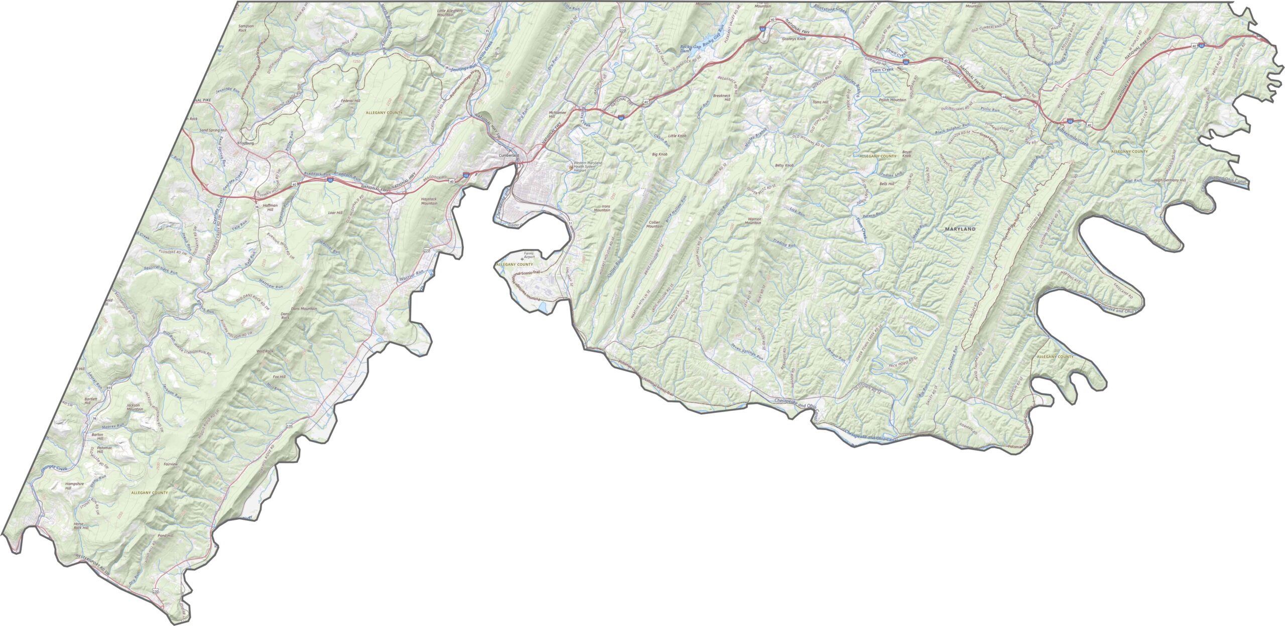
The Allegany County topographic map highlights the county’s rugged Appalachian Mountain terrain, with steep ridges, deep valleys, and changing elevations across the landscape. The Potomac River marks the lower eastern portion of the county, while Dans Mountain rises in the west. Around Cumberland, steep hillsides and valleys shape the terrain and influence the local road network.
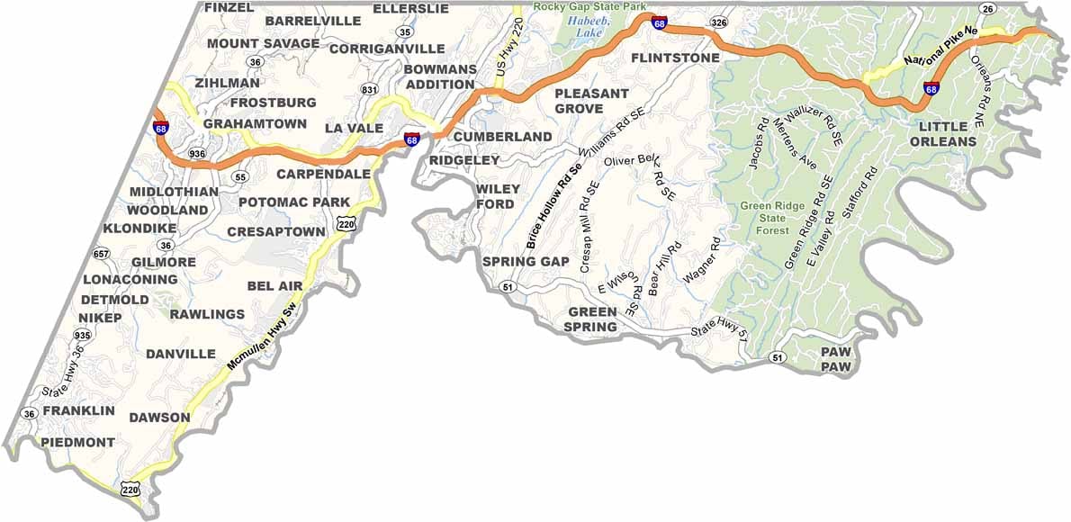
The Allegany County road map shows several important transportation routes crossing the mountainous landscape. I-68 runs east-west through Western Maryland, providing a major connection toward West Virginia, while U.S. Route 220 and other highways serve communities throughout the county. Use our interactive zoom tool to explore highways, local roads, and routes across the Allegany County terrain.
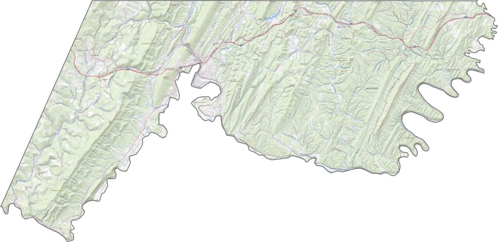
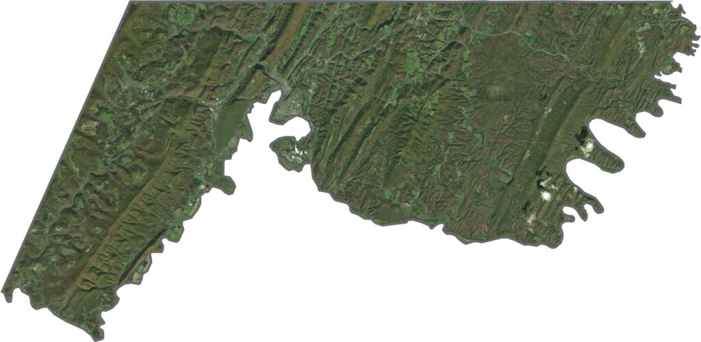
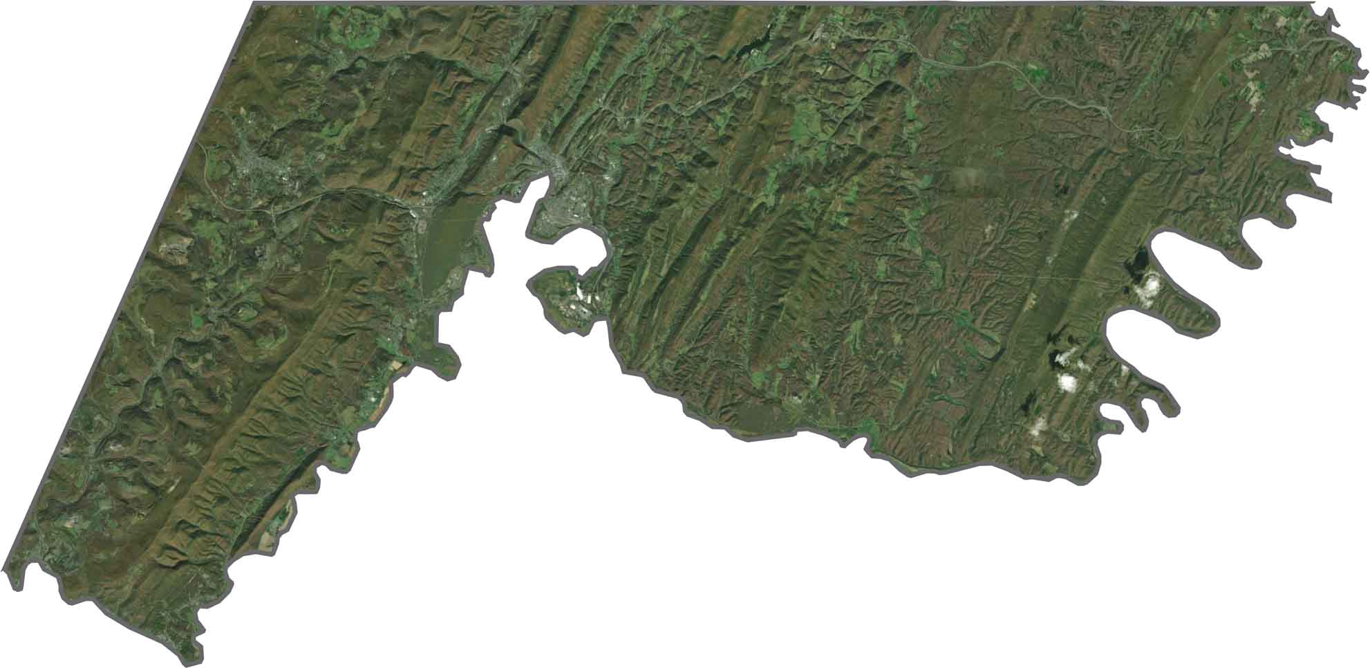
The Allegany County satellite map provides an aerial view of the county’s extensive forests, mountain ridges, valleys, and waterways. The green, wooded landscape surrounds communities such as Cumberland, while rivers and streams cut through the rugged terrain, creating a clear contrast between the Western Maryland landscape and developed areas.
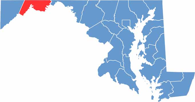
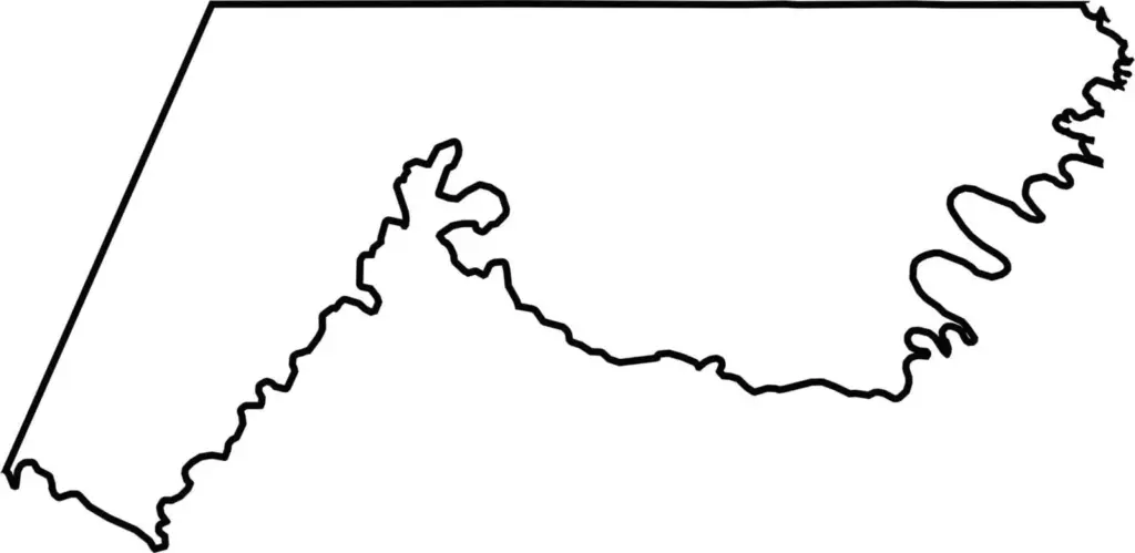
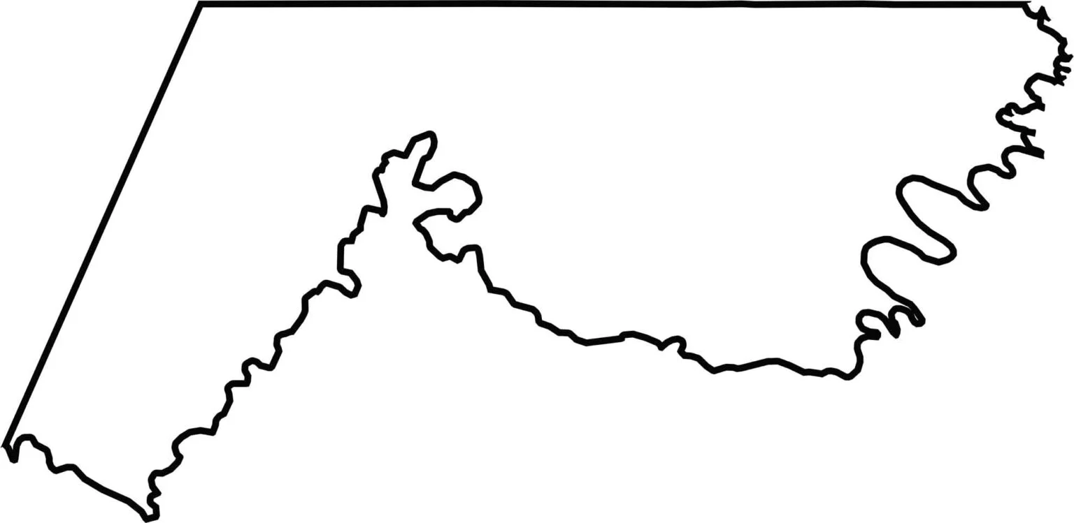
The Allegany County blank map shows the county’s long, narrow shape in Western Maryland. The Potomac River forms much of the southern and eastern boundary near West Virginia, while Pennsylvania borders the county to the north. This outline provides a clear view of Allegany County’s position within the Appalachian region.







With 23 counties and Baltimore City, Maryland offers a diverse mix of cities, small towns, rural communities, and scenic outdoor landscapes. From the Chesapeake Bay and coastal areas to historic towns and mountain regions, every part of the state has its own character. Explore our detailed Maryland county maps to learn more about the state’s counties, cities, roads, boundaries, and geographic features.