
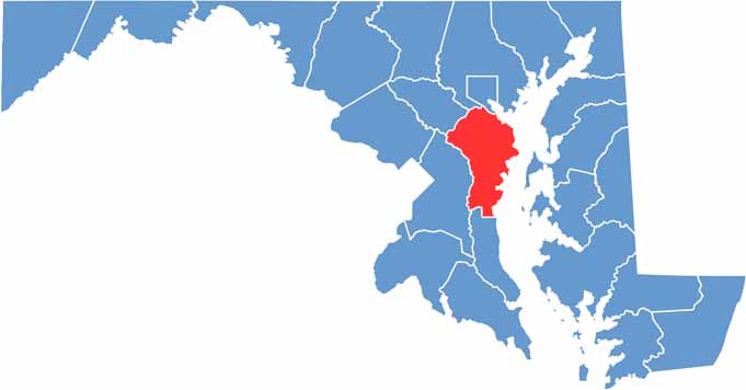
Anne Arundel County, Maryland is located just south of Baltimore and is known for its rich history and waterfront communities. The county is home to Annapolis, the capital city of Maryland, along with historic neighborhoods, coastal landscapes, and attractions throughout the region.
During the warmer months, Sandy Point State Park offers beaches and opportunities to enjoy the Chesapeake Bay shoreline. Anne Arundel County is also well known for its Maryland blue crabs, making a traditional local crab feast a popular part of the region’s food culture.
The Chesapeake Bay borders the eastern side of Anne Arundel County, providing opportunities for sailing, fishing, boating, and waterfront dining. Visitors can explore the U.S. Naval Academy in Annapolis, while outdoor enthusiasts can enjoy scenic trails and natural areas near Patapsco Valley State Park.
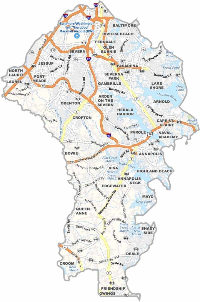
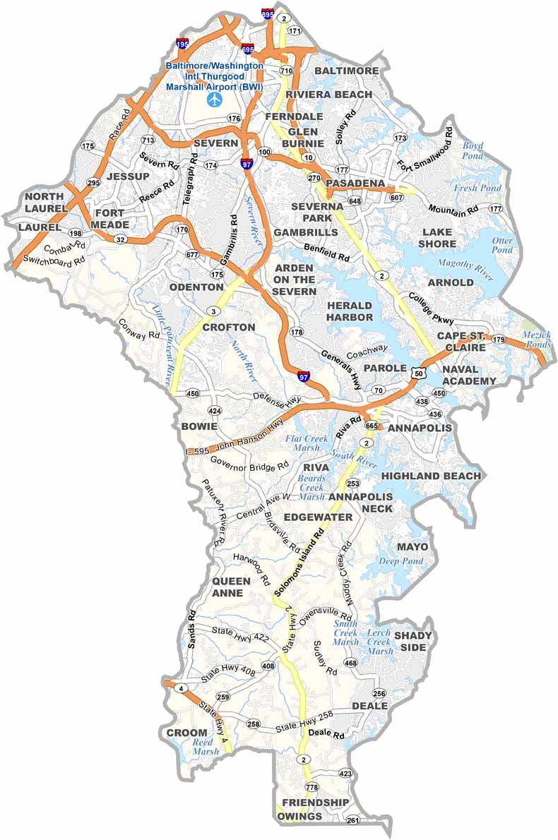
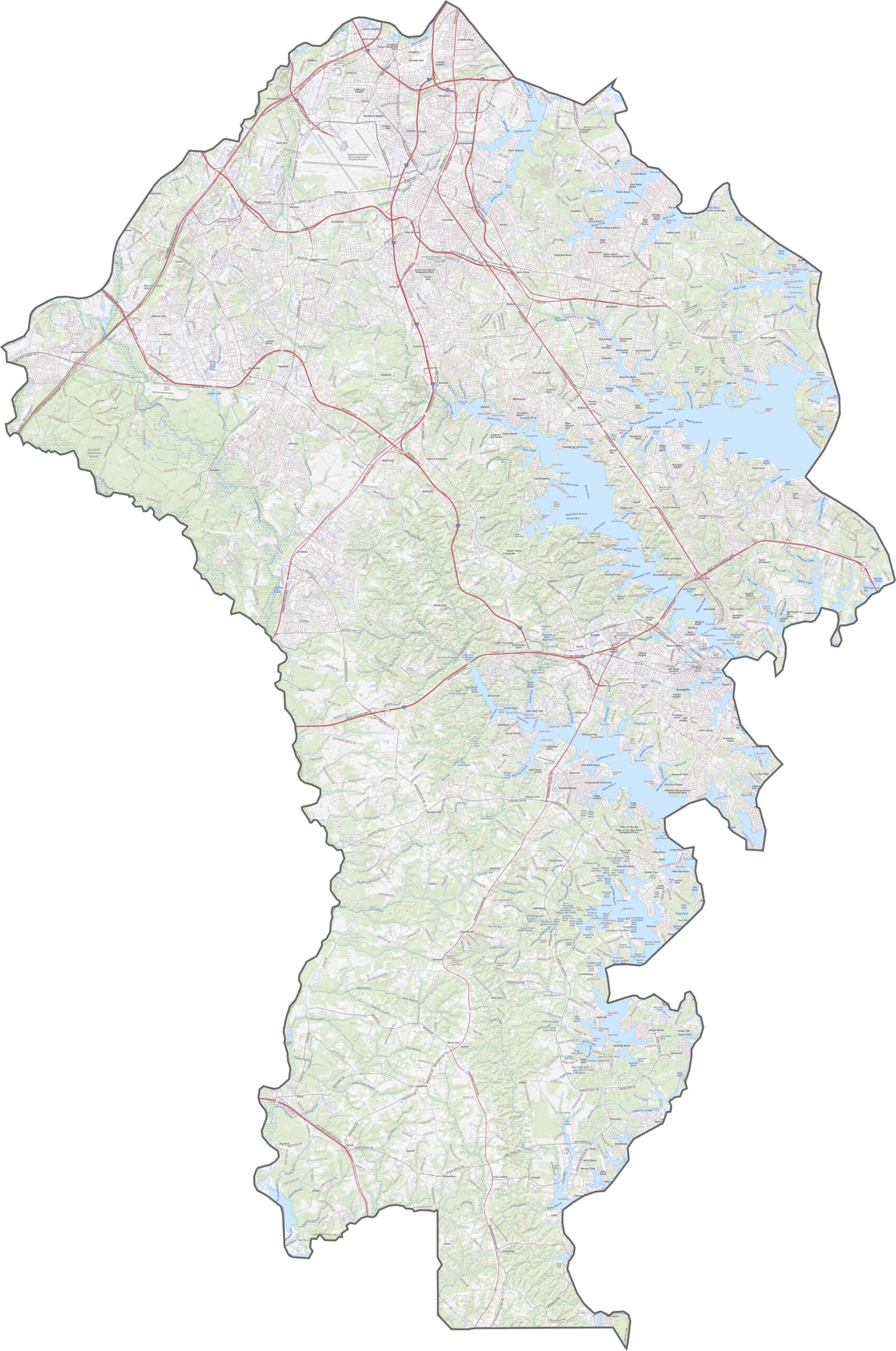
The Anne Arundel County road map highlights major transportation routes such as I-97 and U.S. Route 50, providing important connections throughout the county and toward Annapolis. Maryland Route 2 follows portions of the waterfront and offers scenic views of the coastal landscape. Use our interactive zoom tool to explore highways, roads, and transportation routes in greater detail.
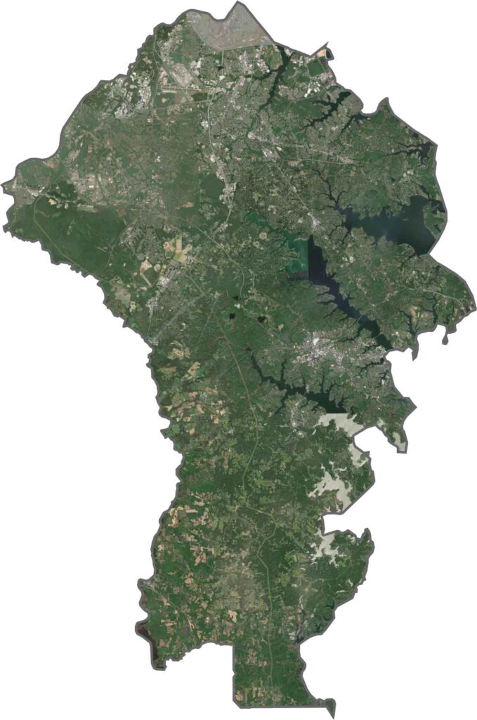
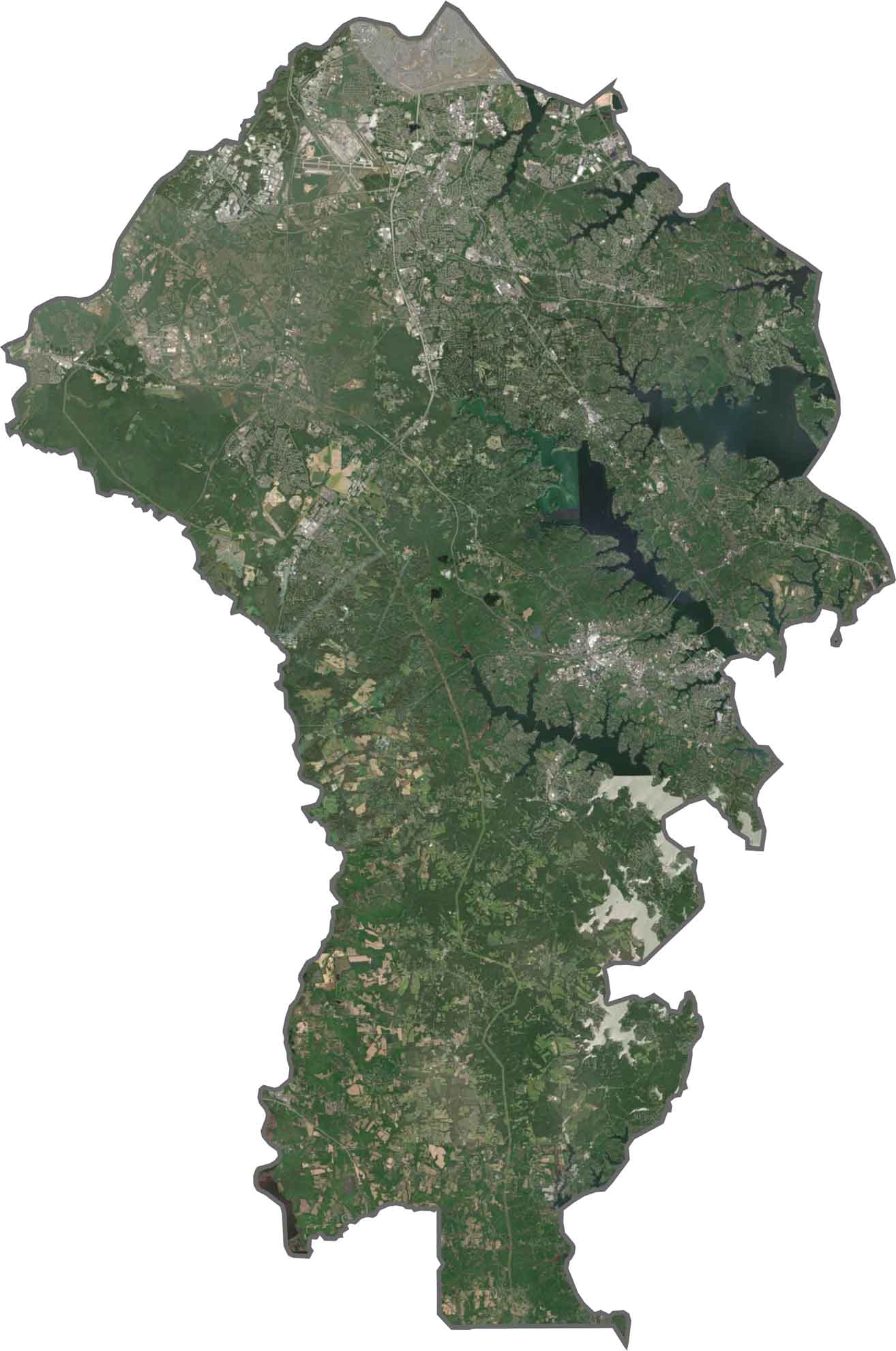
The Anne Arundel County satellite map shows the Chesapeake Bay along the county’s eastern side, with numerous creeks, inlets, and waterways extending inland. Developed areas are concentrated around Annapolis and other communities, while forests, farmland, and open spaces cover much of the interior. Use our zoom tool to examine detailed landscape features in the satellite imagery below.
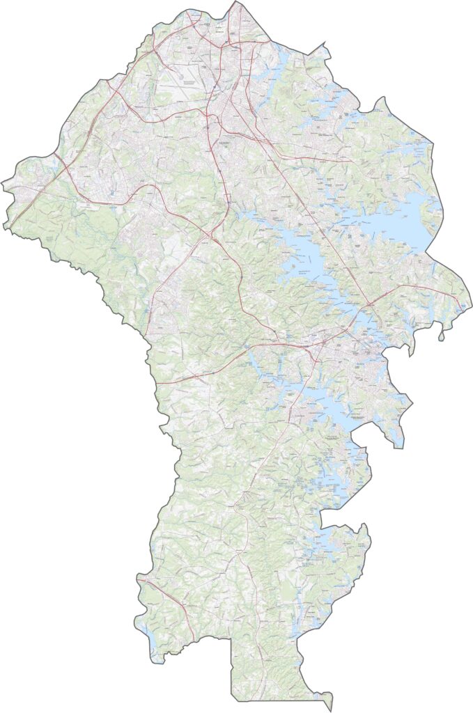
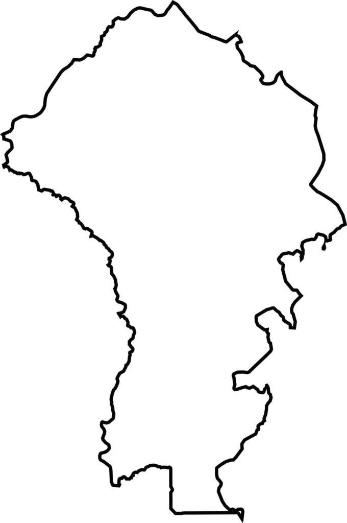
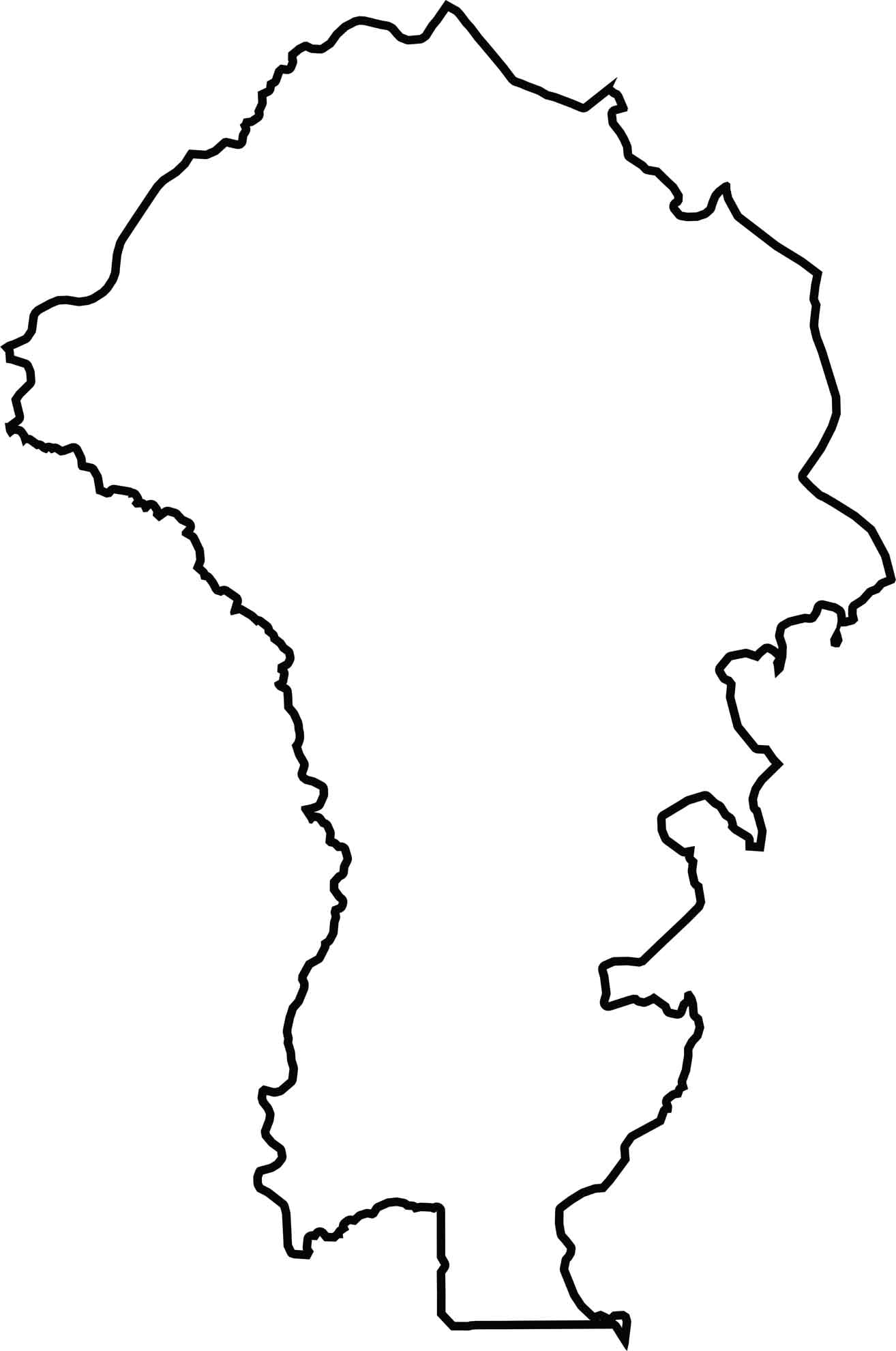
The Anne Arundel County blank map shows the county extending along the western shore of the Chesapeake Bay, with an irregular coastline shaped by rivers, creeks, and tidal waterways. The Patuxent River forms part of the western boundary, while Prince George’s County, Howard County, and Calvert County border Anne Arundel County on land. The county does not share a border with another state.







With 23 counties and Baltimore City, Maryland offers a diverse mix of cities, small towns, rural communities, and scenic outdoor landscapes. From the Chesapeake Bay and coastal areas to historic towns and mountain regions, every part of the state has its own character. Explore our detailed Maryland county maps to learn more about the state’s counties, cities, roads, boundaries, and geographic features.