
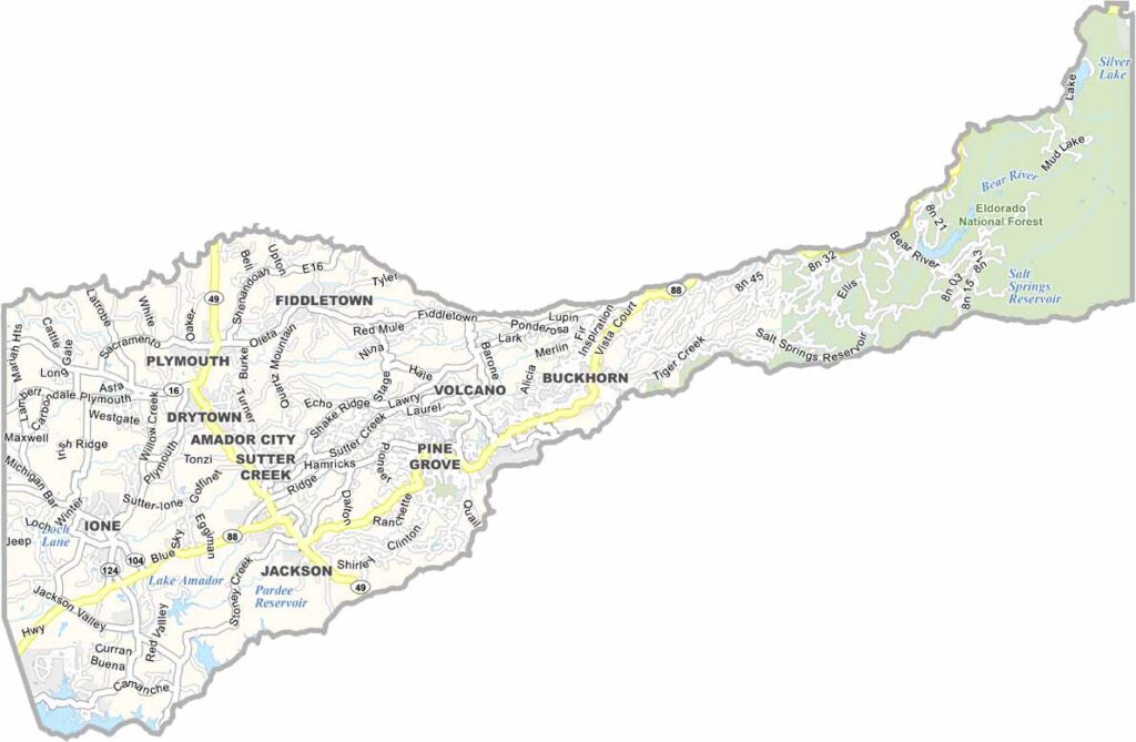
Amador County is located in the Sierra Nevada foothills and is part of California’s historic Gold Country. The county was named after José María Amador, a rancher and miner, and its communities still reflect the region’s Gold Rush heritage.
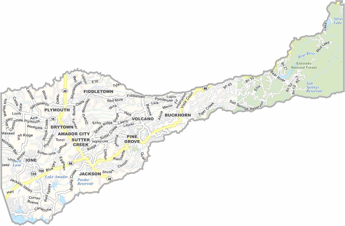
Jackson serves as the county seat and is easily reached from Sacramento via Highway 16. Sutter Creek is another popular community, known for its well-preserved historic buildings, charming streets, and Gold Rush character.
Amador County is also a growing wine destination, particularly known for its Zinfandel vineyards. The annual Amador County Fair adds to the local atmosphere, bringing together residents and visitors for food, entertainment, and community celebrations.
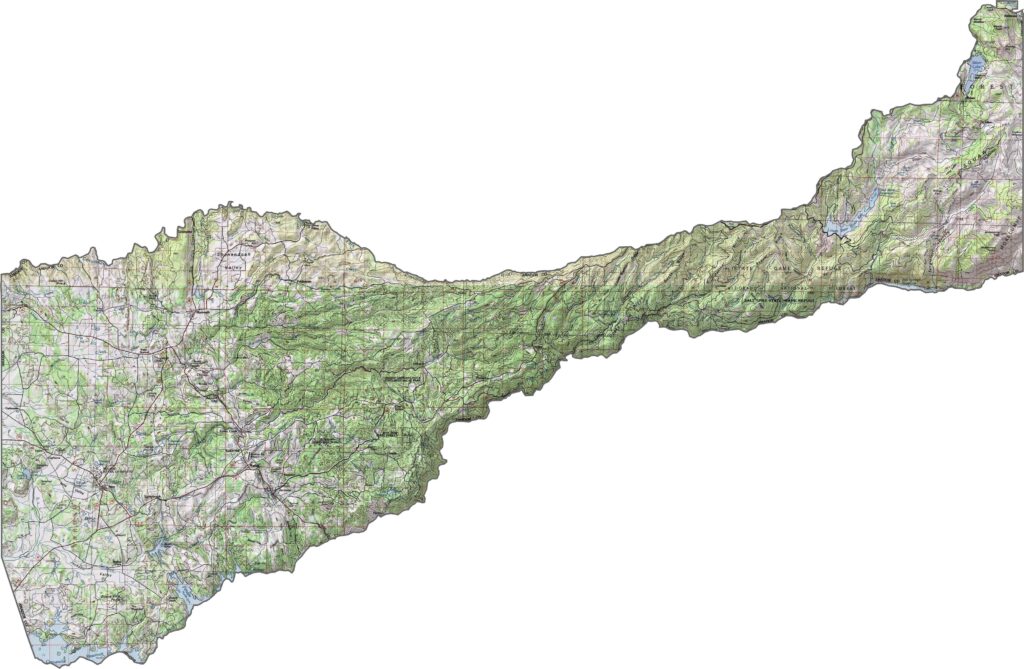
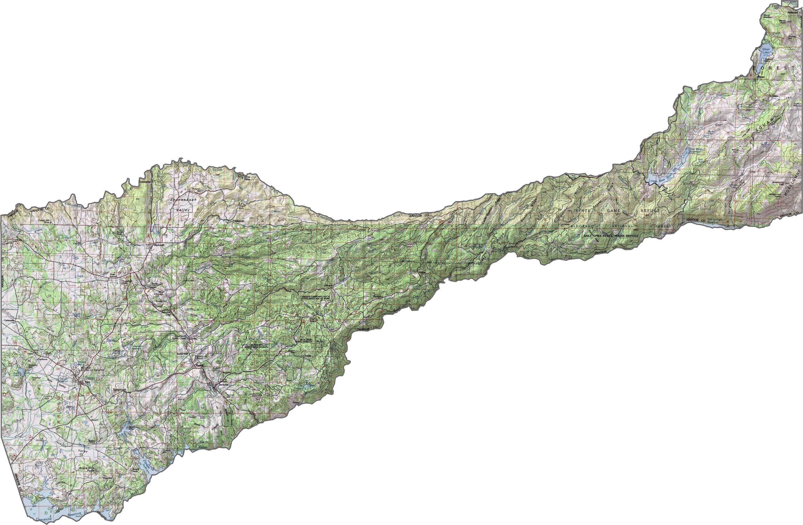
This topographic map highlights Amador County’s gradual transition from lower western terrain to the higher Sierra Nevada foothills in the east. Use our zoom tool to explore the changing elevations and rugged landscape in greater detail.
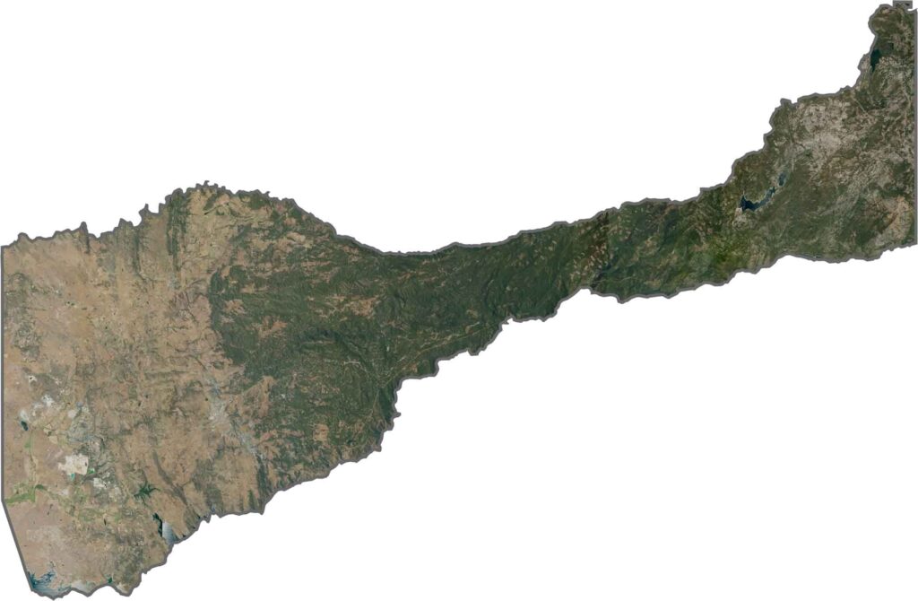
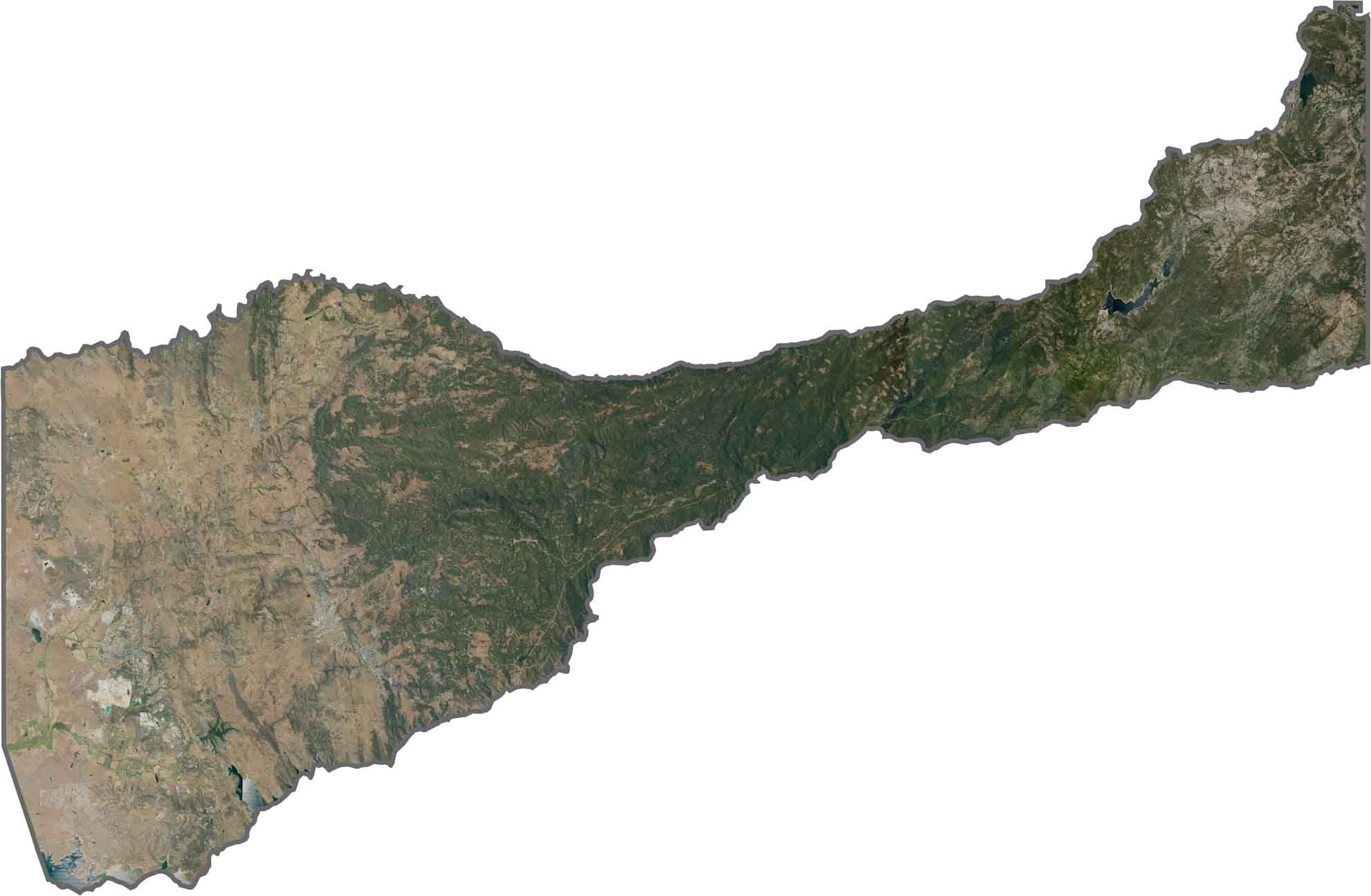
This satellite map shows the distinctive terrain of California’s Gold Country. Agricultural areas in the west gradually give way to forested Sierra foothills toward the east, with small communities scattered throughout the landscape.
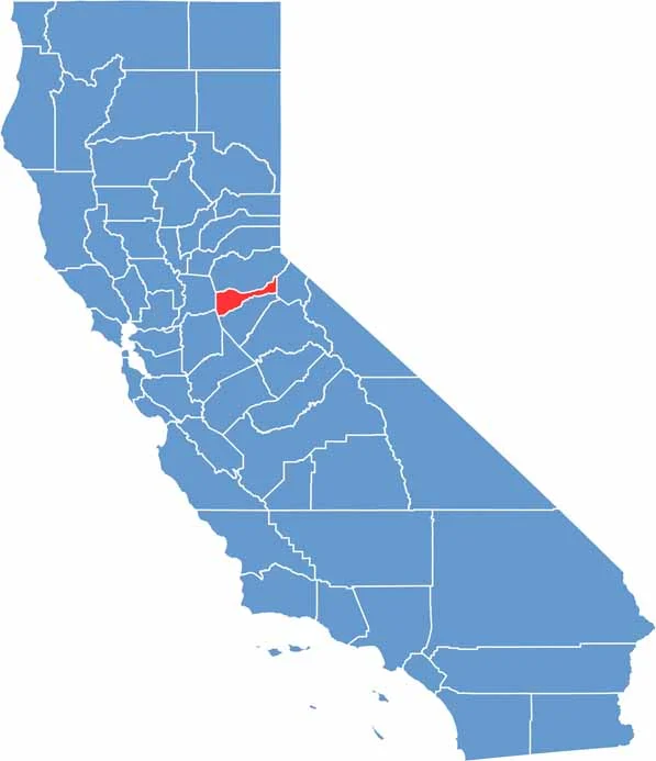
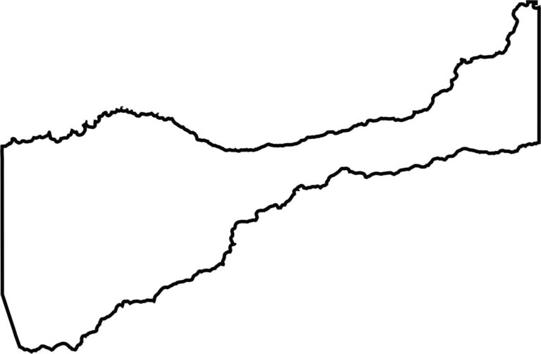
This blank map outlines Amador County’s compact shape in California’s Gold Country region. The simple template provides a foundation for adding cities, highways, historic Gold Rush sites, and other notable landmarks.








Ever wonder how California’s 58 counties are organized? Our California county map lays them all out, from the Pacific Coast to the vast desert regions. Explore the map to find the counties you know—and perhaps discover a few you don’t.