
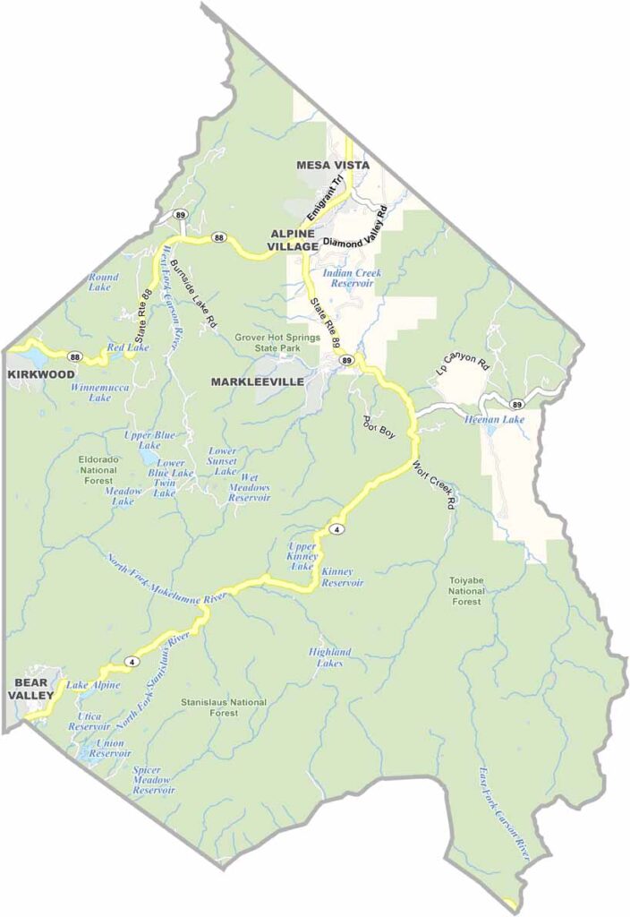
Alpine County is where California’s Sierra Nevada truly shines. As the smallest county in the state by population, it feels more like a wilderness retreat than a busy urban hub.
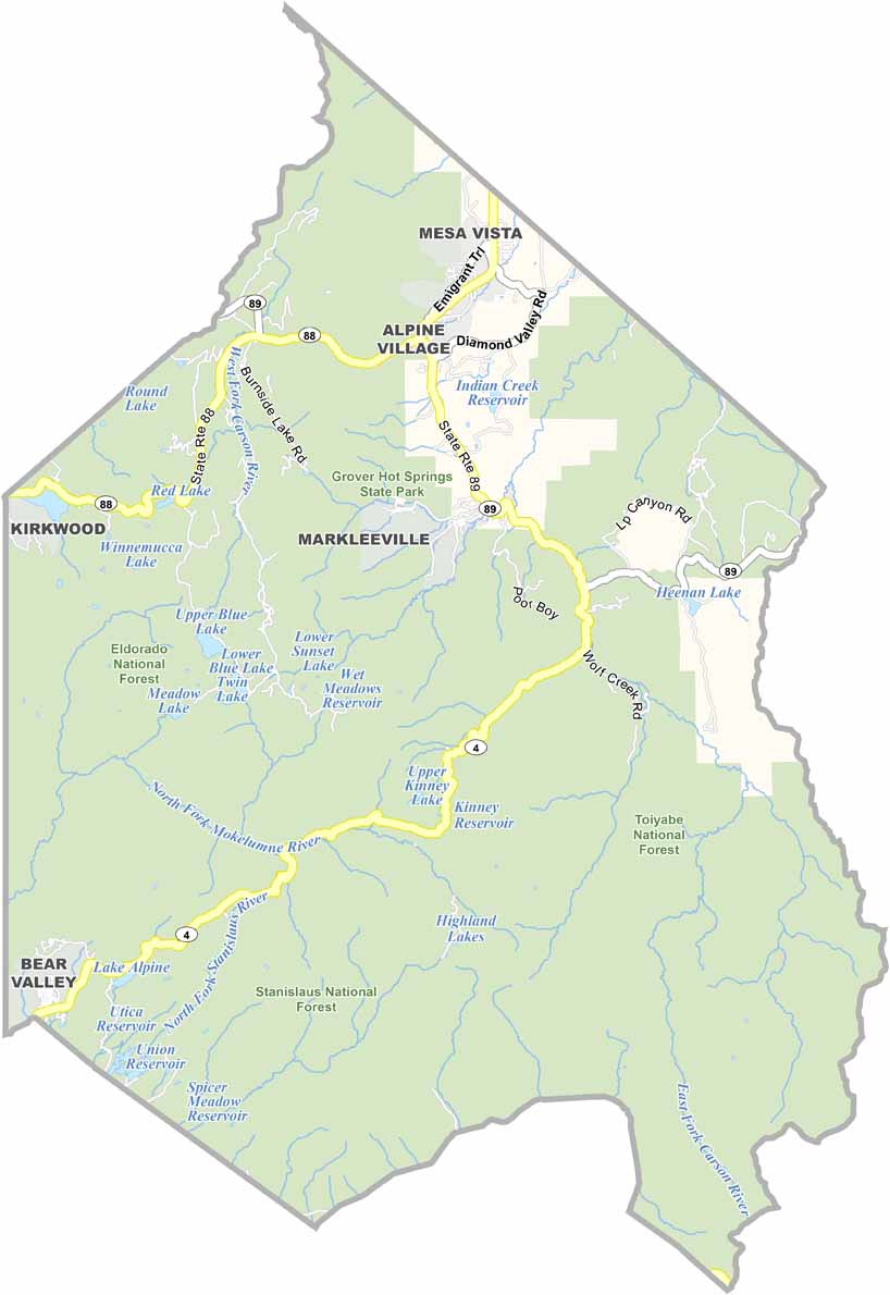
Markleeville, the county seat, is about as laid-back as it gets. You won’t find any traffic lights here, just wide-open spaces, crisp mountain air, and peaceful surroundings.
Drive along Highway 4 or Highway 89, and you’ll pass through the county’s rugged mountain terrain. Locals joke that there are more bears than people in Alpine County. So if you visit, bring your bear spray and a good book—the cell service can be spotty at best.
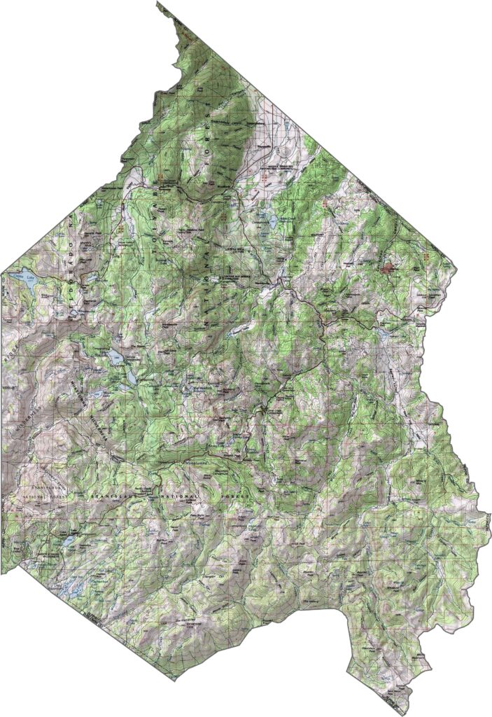
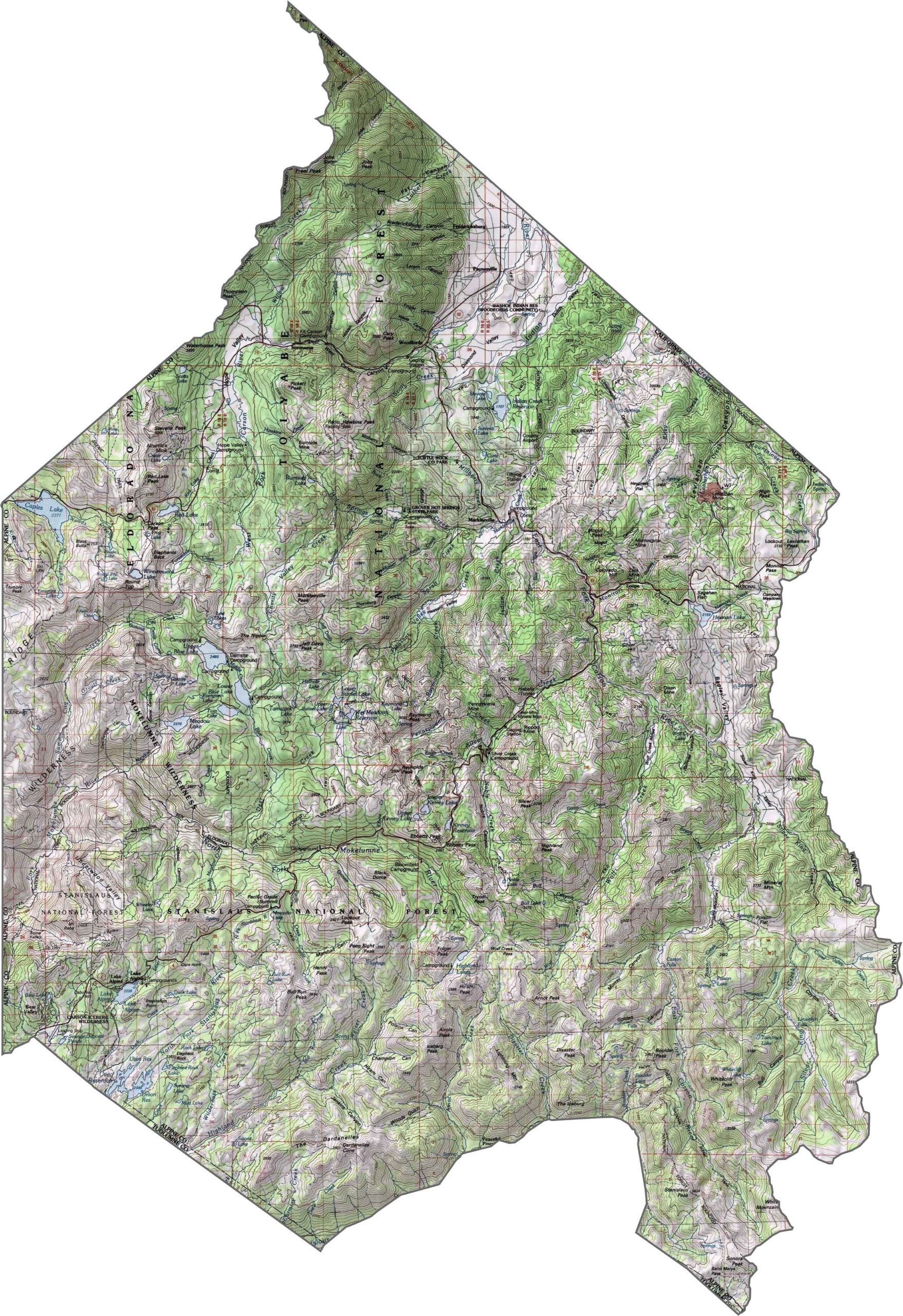
This topographic map highlights Alpine County’s rugged Sierra Nevada terrain, with high mountain peaks, deep valleys, and numerous alpine lakes. The detailed contours reveal the dramatic elevation changes across this sparsely populated region.
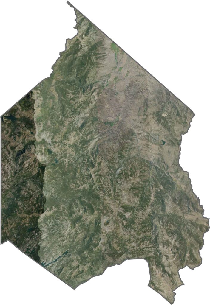
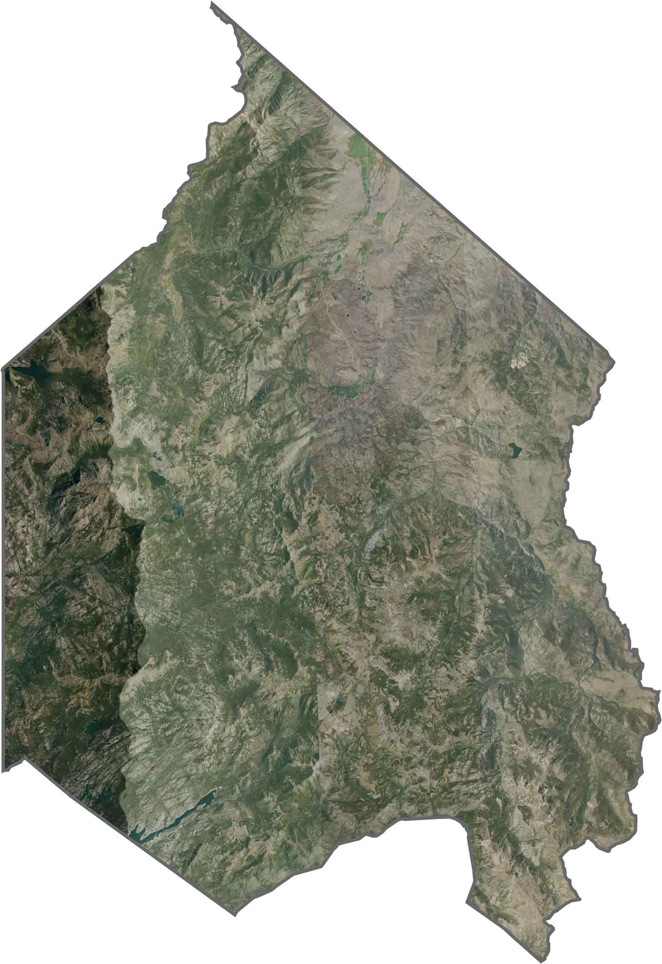
This satellite map shows the expansive wilderness of Alpine County, where forested mountains and alpine lakes dominate the landscape. Few roads or developed areas interrupt the remote terrain.
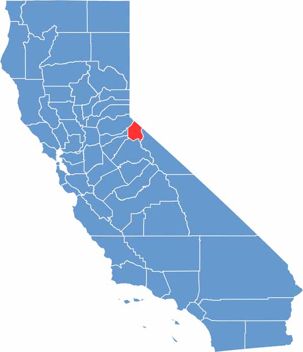
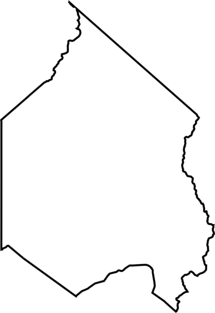
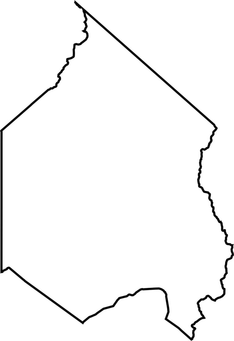
This blank map outlines Alpine County’s compact shape along the California-Nevada border. The simple boundary highlights this small, mountainous county nestled within the Sierra Nevada.







Ever wonder how California’s 58 counties are organized? Our California county map lays them all out, from the Pacific Coast to the vast desert regions. Explore the map to find the counties you know—and perhaps discover a few you don’t.