
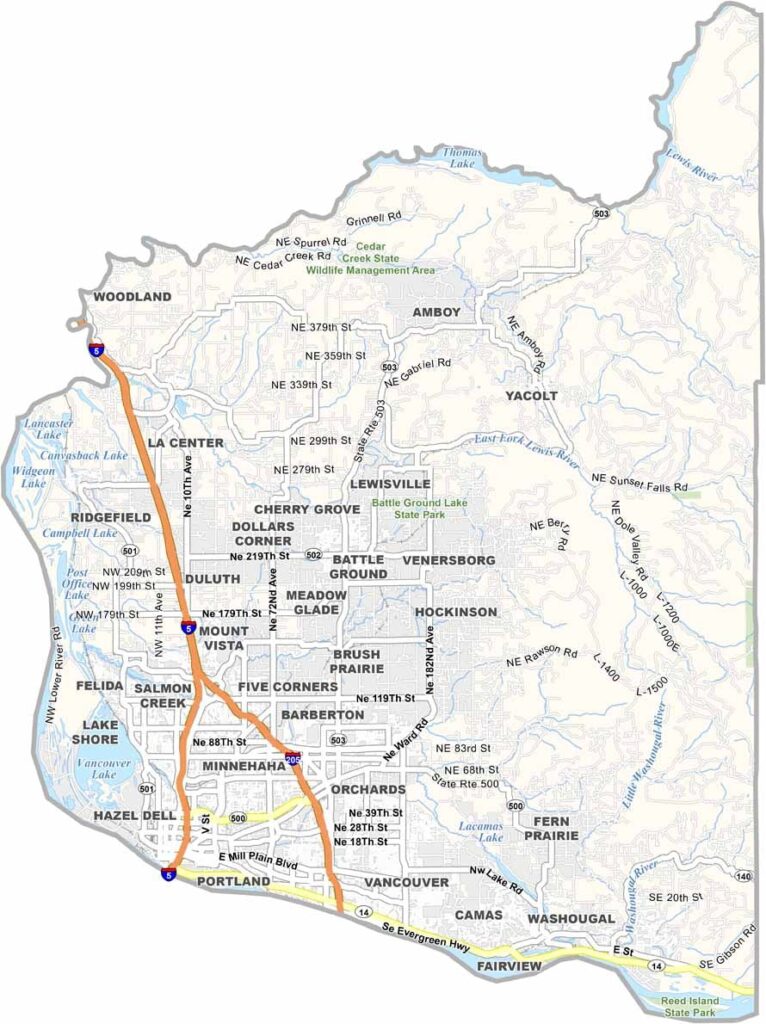
Clark County sits just across the Columbia River from Portland, Oregon, making it one of the most populated counties in Washington State. Vancouver, the county’s largest city, is often confused with its Canadian namesake, but this Pacific Northwest city has a distinct character and plenty of its own charm.
The county has a rich history shaped by Native American communities and the arrival of the Hudson’s Bay Company. Today, visitors enjoy hiking in the Cascade Mountains, along with boating, fishing, and other water activities on the Columbia River. The combination of rivers, mountains, and accessible outdoor recreation makes Clark County popular with both residents and visitors.
Technology and business growth have also become important parts of the local economy, with several major companies establishing a presence in the area. At the same time, urban and rural living exist side by side, with farmland sometimes only a short drive from busy downtown districts. That mix of city amenities, agriculture, and outdoor recreation gives Clark County a character that continues to surprise.
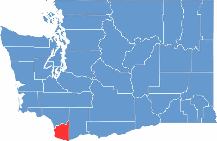
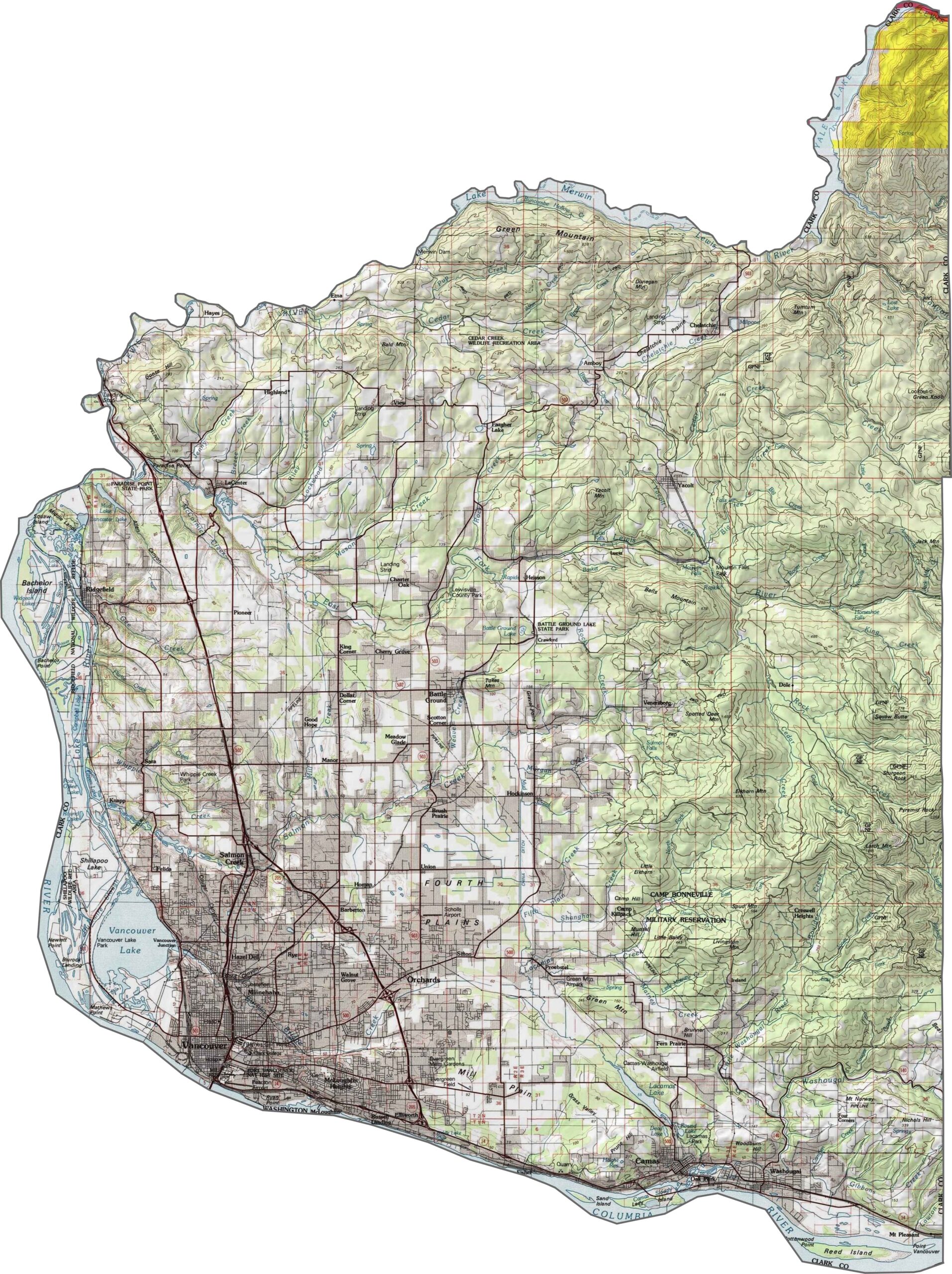
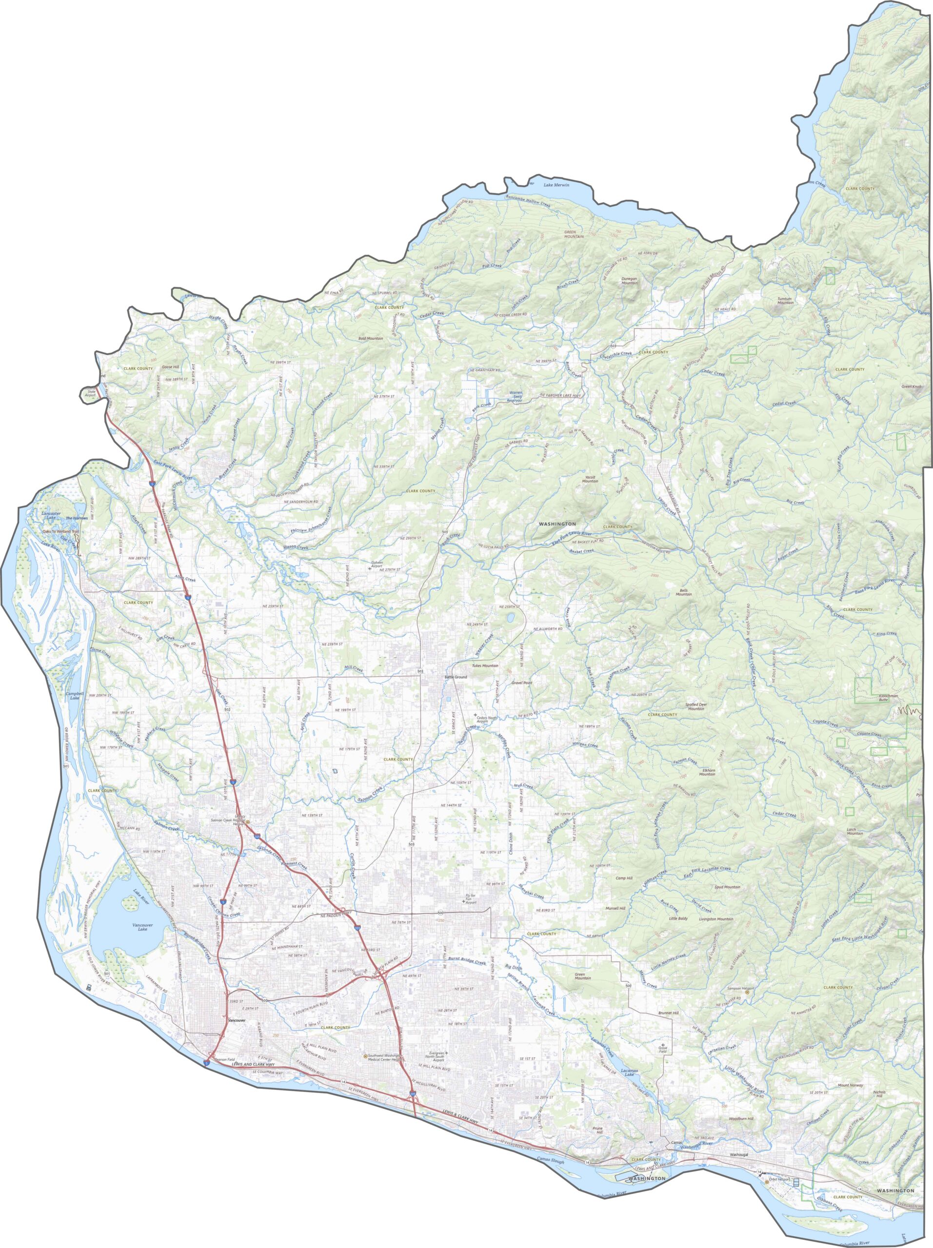
Clark County’s topography is shaped by a combination of rivers, rolling foothills, and changing elevations. The Columbia River runs along the southern edge, while the land gradually rises northward toward the Cascade foothills. This mix of waterways and elevation gives the county a more varied landscape than it may appear at first glance.
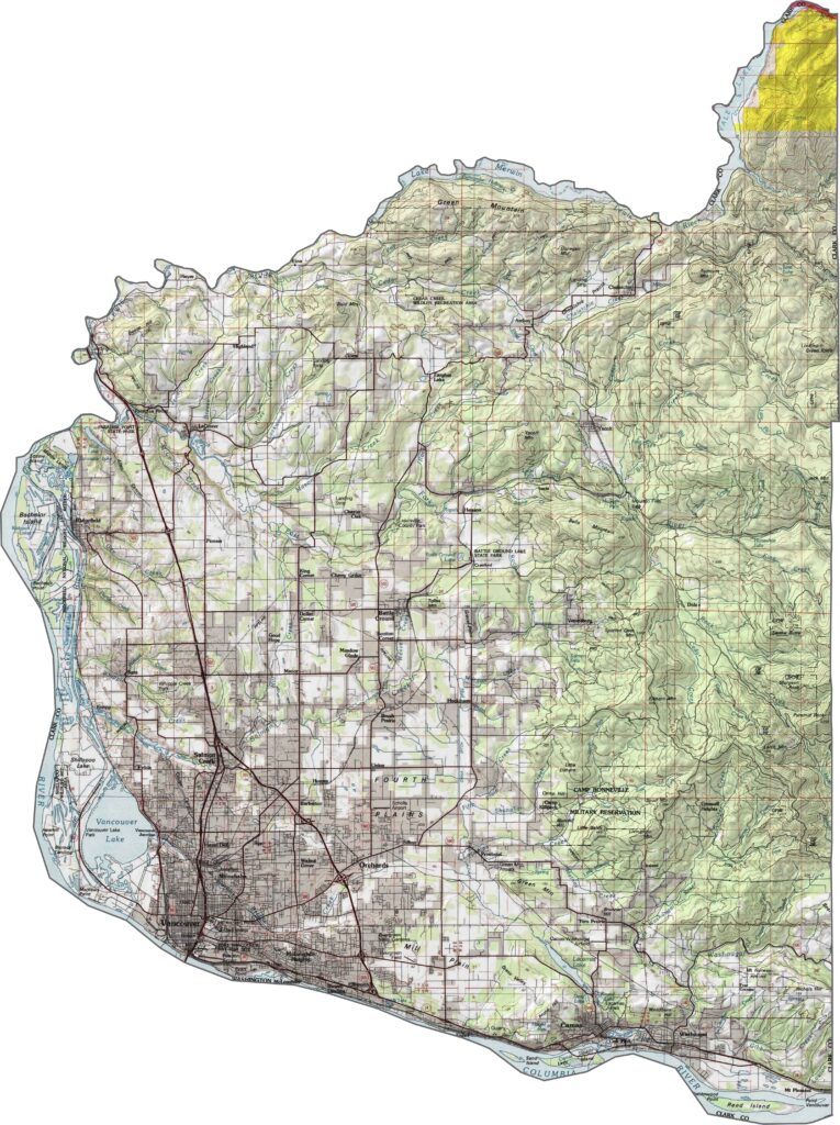
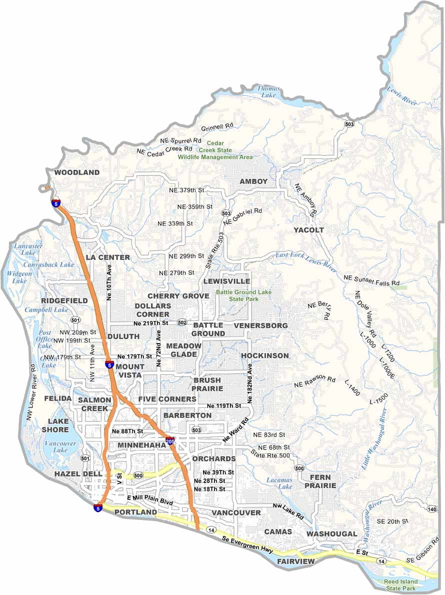
Interstate 5 runs directly through Clark County and serves as the area’s primary transportation corridor. I-205 also provides an important connection, while numerous state routes and local roads wind through neighborhoods, farmland, and rural areas. Our zoom tool lets you follow the major highways and roads across the county.
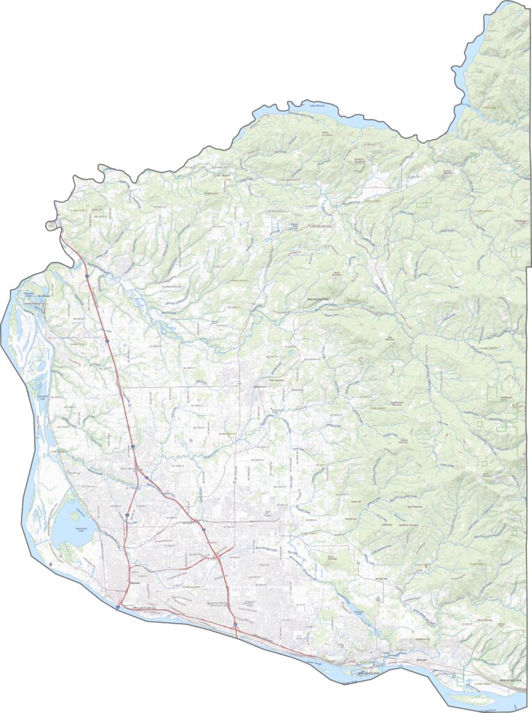
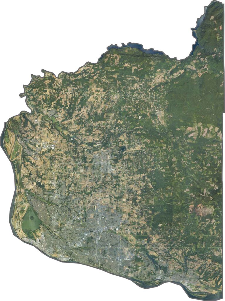
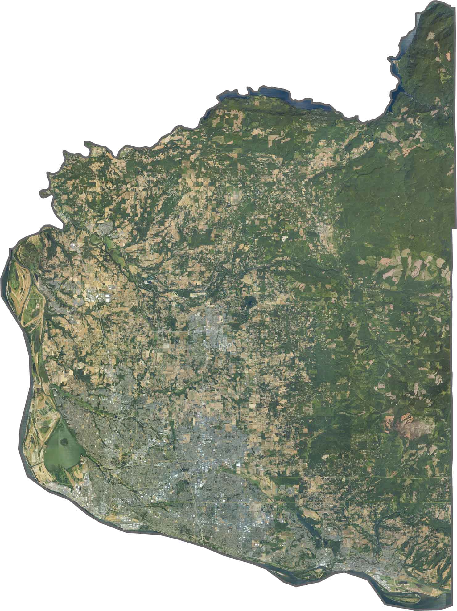
From above, Clark County is a blend of dense urban development, forested areas, and open farmland. Vancouver dominates the southern portion, while forested ridgelines and agricultural fields break up the developed landscape. The Columbia River remains one of the most prominent geographic features, tracing the county’s southern edge.
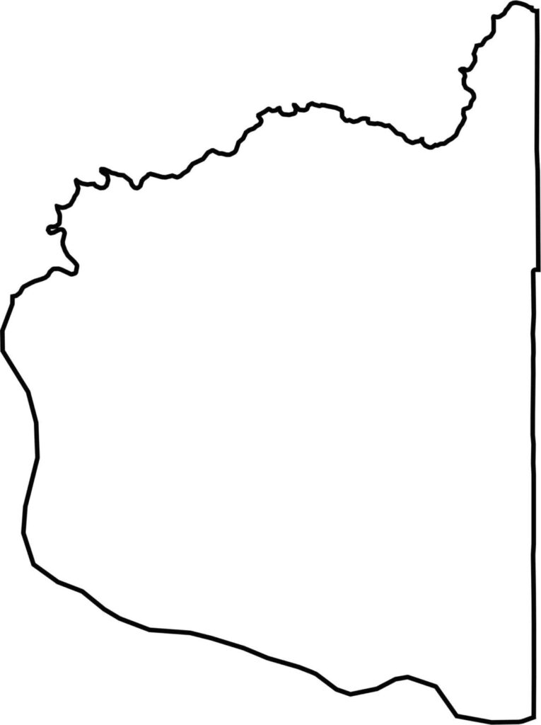
The county occupies the north side of the Columbia River, forming a natural border with Oregon. Its southern boundary follows the river’s curved course, while the county also shares a long boundary with Multnomah County. Along the northern edge, Lake Merwin and Yale Lake help define Clark County’s rugged landscape.






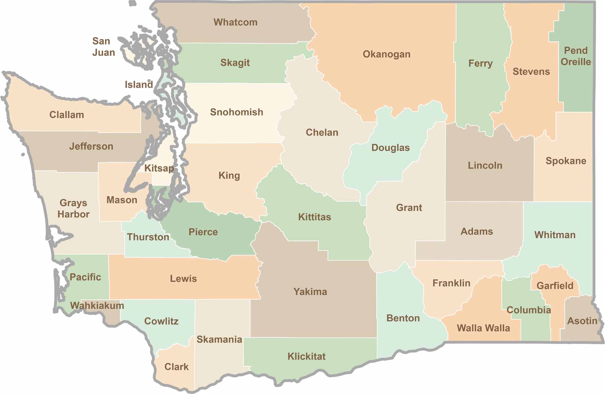
Seattle may get most of the attention, but the rest of Washington State is where the wild truly shines. From rugged Pacific coastlines and lush forests to towering mountain ranges, Washington’s 39 counties offer an incredible variety of landscapes, communities, and outdoor adventures. Explore them all and find your favorite place in Washington.