
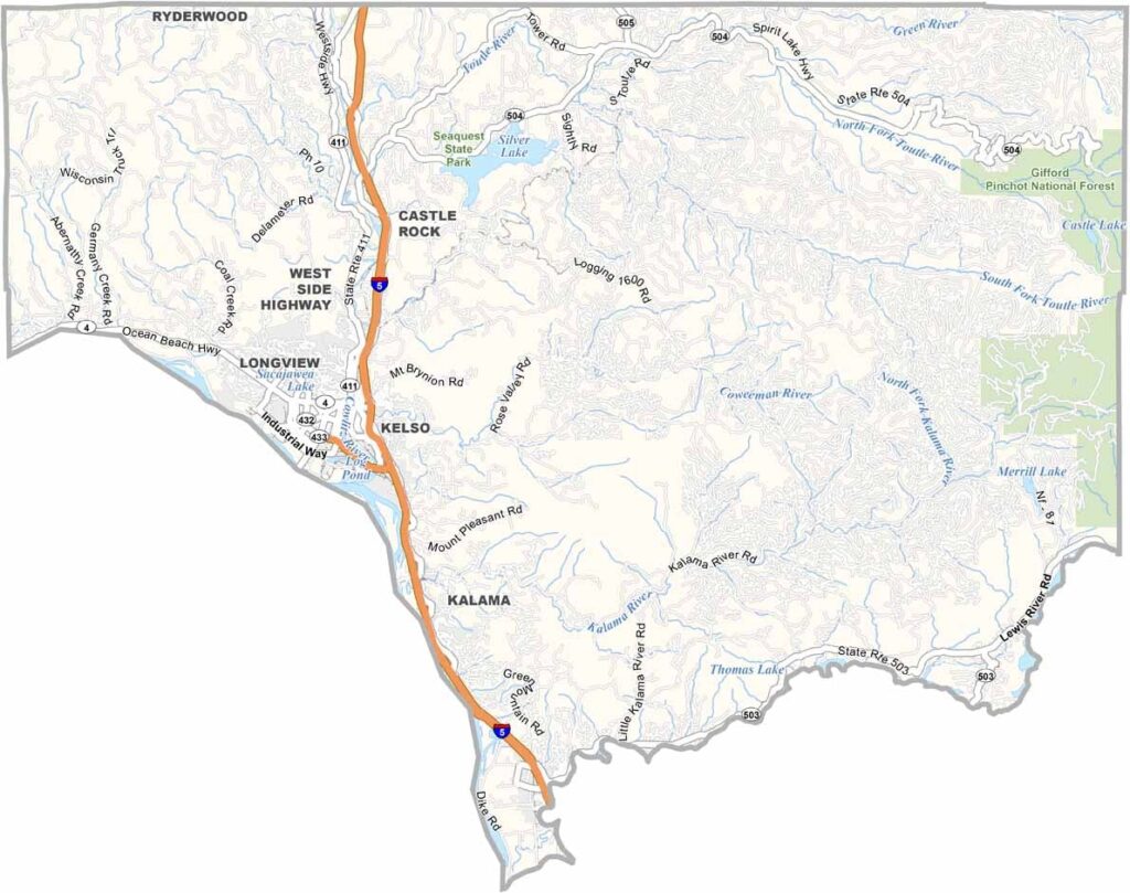
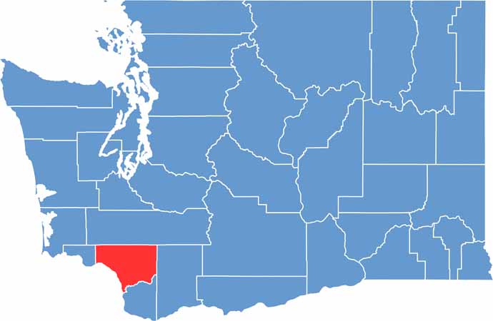
Cowlitz County is located in southwest Washington, about an hour north of Portland, Oregon. The mighty Columbia River forms the southern boundary of the county, while Longview and Kelso serve as its main cities.
Mount St. Helens rises to the east and is now protected as a National Volcanic Monument. The devastating 1980 eruption dramatically transformed the surrounding landscape, but Cowlitz County has continued to recover and thrive.
Timber remains an important part of the local economy, and the scent of freshly cut lumber is often part of the area’s character. The county is also becoming a destination for outdoor recreation, with fishing, hiking, and hunting among the popular activities. Cowlitz County honors its rich past while continuing to look toward the future.
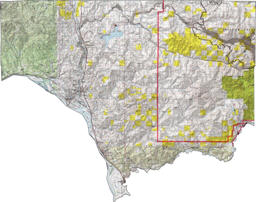
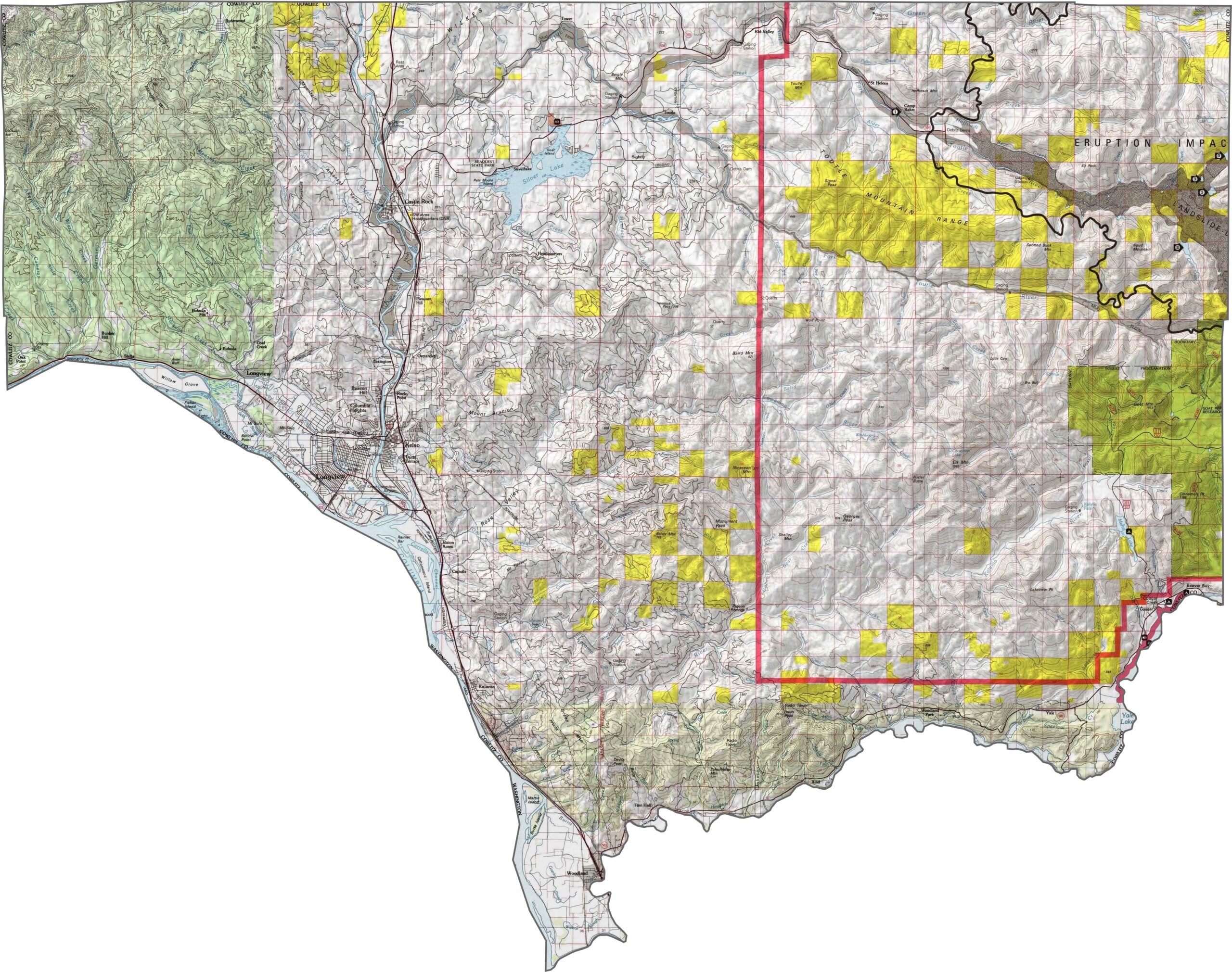
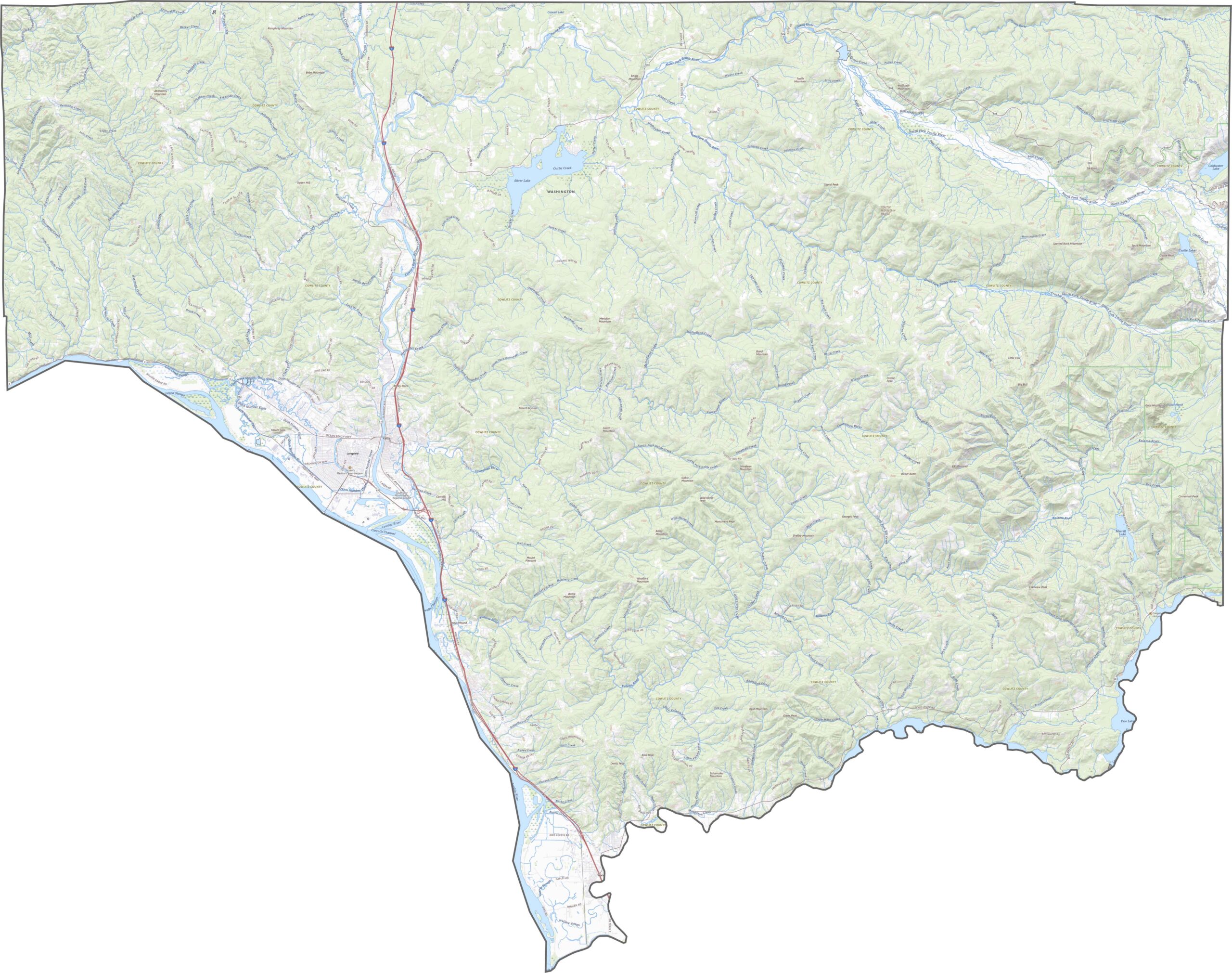
Cowlitz County is defined by its forested valleys and mountainous terrain. The Cowlitz River runs from north to south, with steep, green ridges rising on either side. In the eastern part of the county, the land begins climbing toward Mount St. Helens. You can see part of the 1980 eruption impact area in our topographic map below.
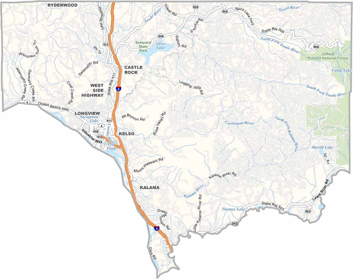
Cowlitz County is mainly served by Interstate 5, which runs through the western portion of the county. While I-5 is a key transportation route, smaller highways extend into the hillier interior. Our zoom tool lets you follow the highways deeper into the forested landscape.
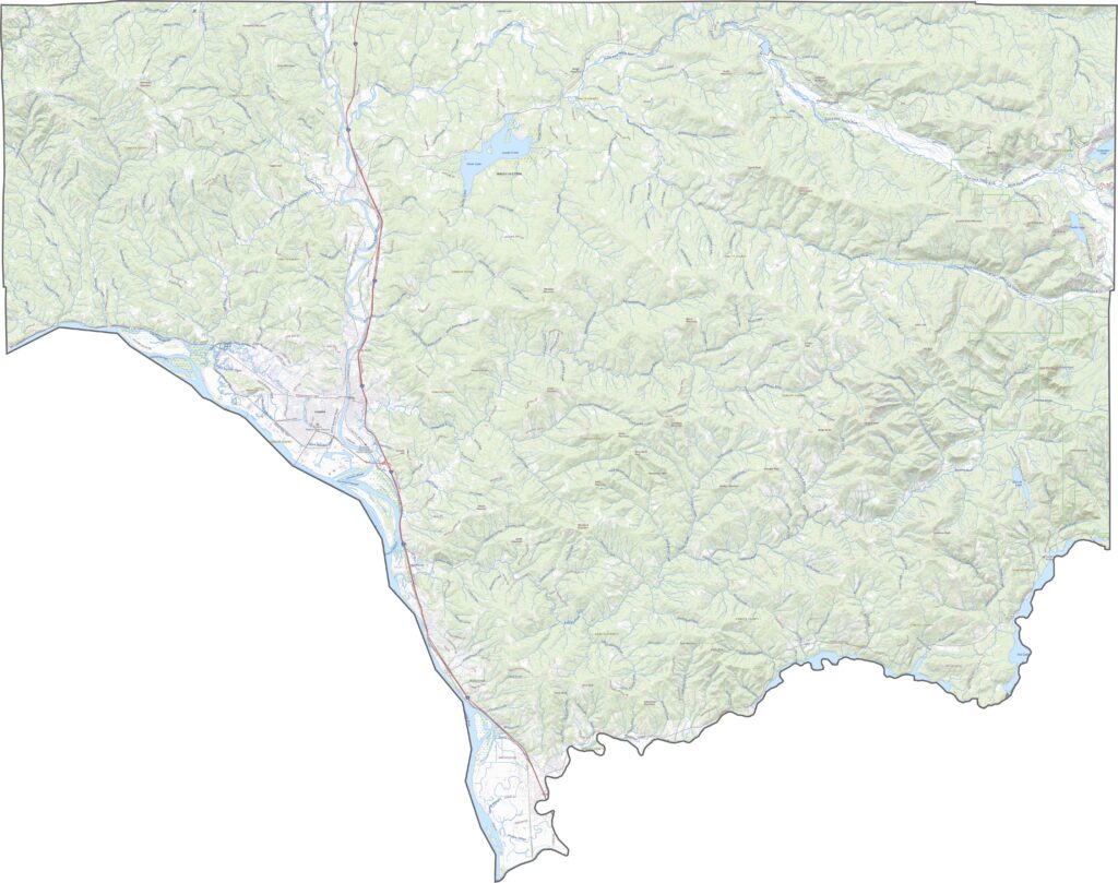
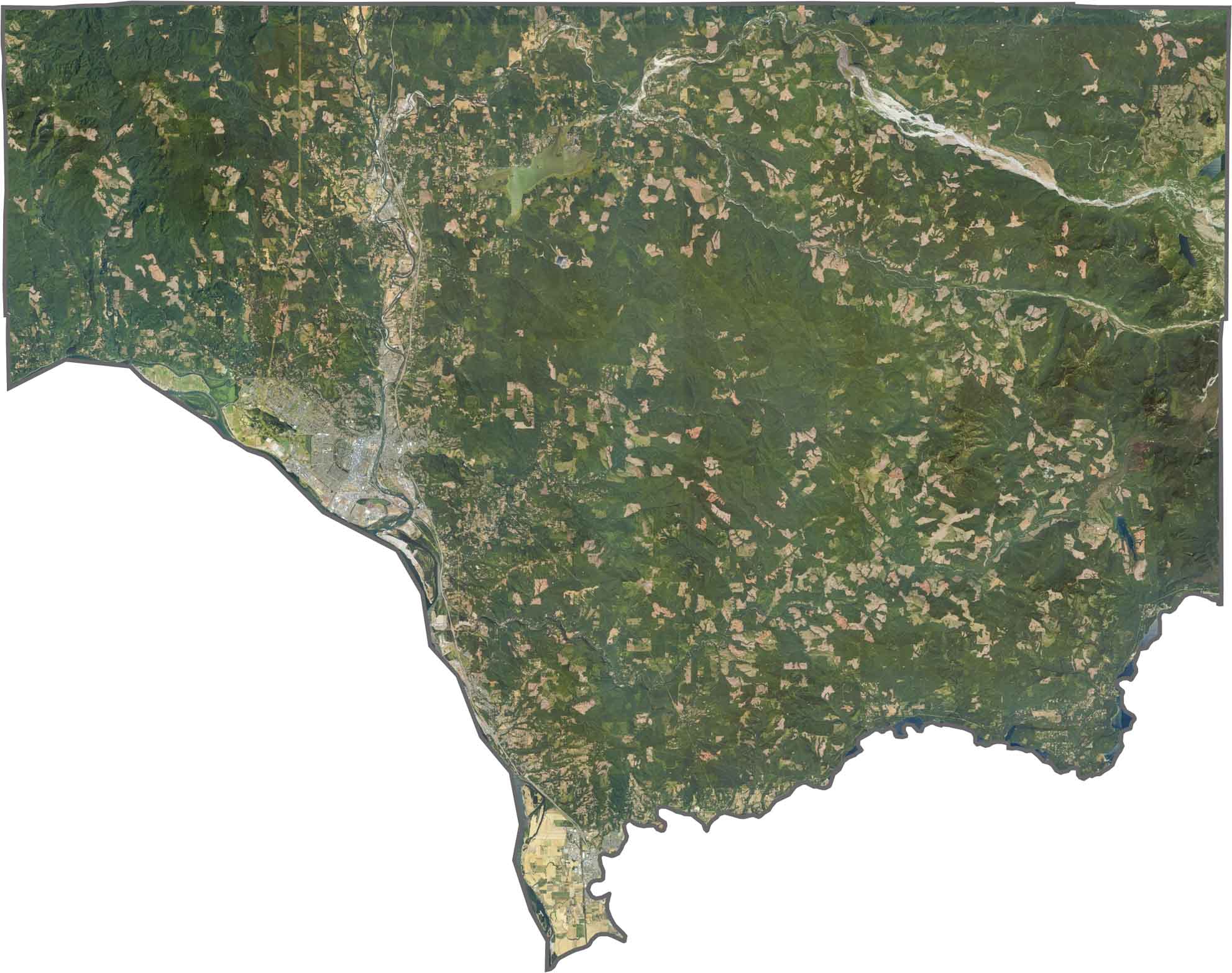
Forests cover much of the county. Along the river valleys, towns and roads are scattered among the green landscape, while areas farther east become darker and denser with forest. This is especially noticeable near the national forest boundary.
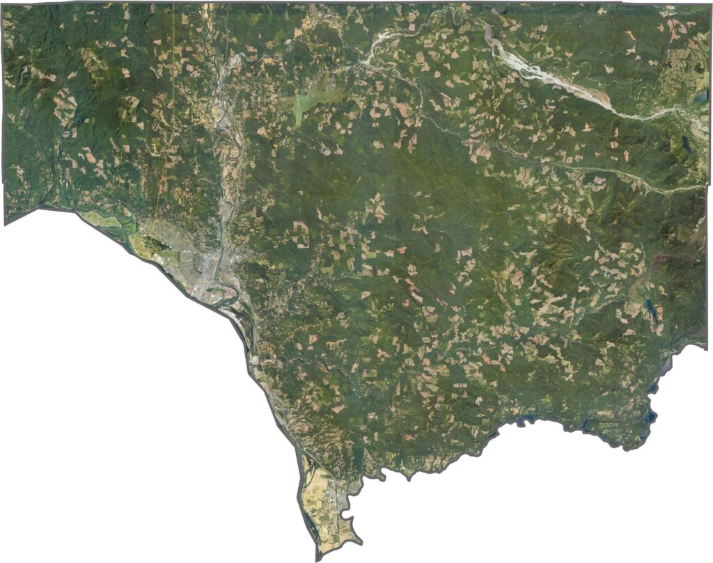
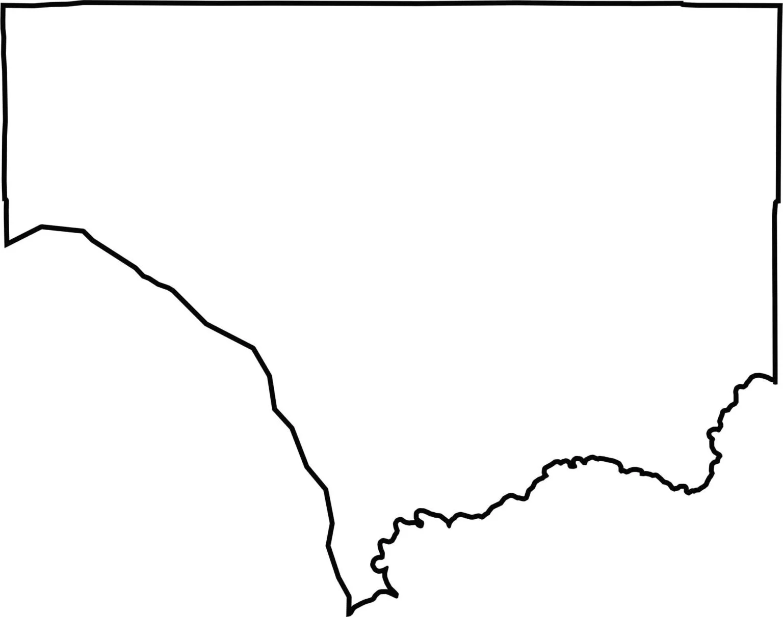
Cowlitz County has an uneven shape, with mostly straight boundaries except along its southern edge. The Columbia River forms part of its southwestern border. Although the county does not directly border another state, it sits just across the river from Oregon.






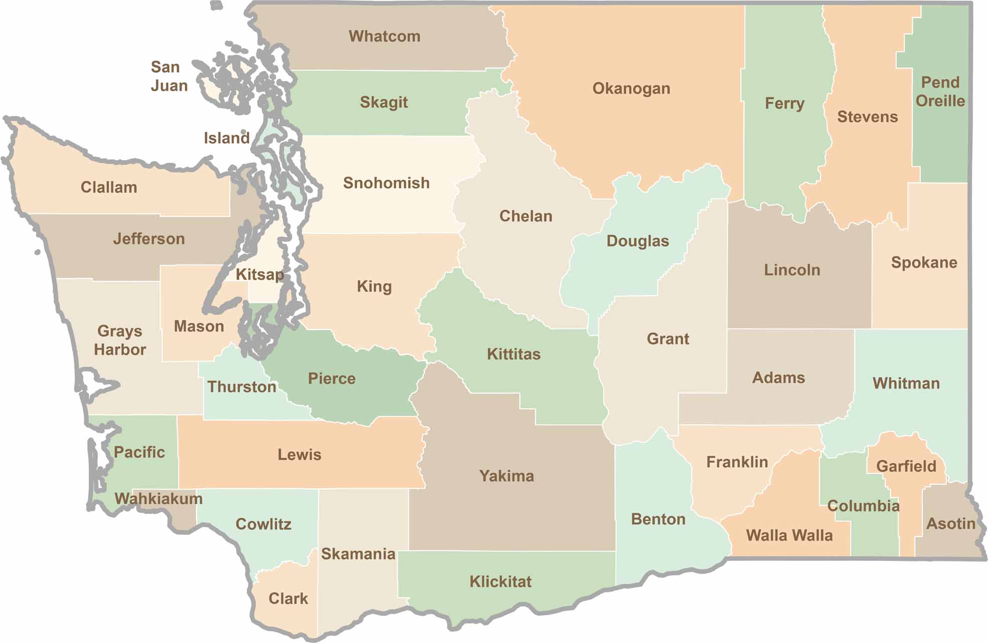
Seattle may get most of the attention, but the rest of Washington State is where the wild truly shines. From rugged Pacific coastlines and lush forests to towering mountain ranges, Washington’s 39 counties offer an incredible variety of landscapes, communities, and outdoor adventures. Explore them all and find your favorite place in Washington.