
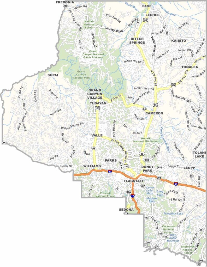
Coconino County is located in northern Arizona. It is the second-largest county by area in the lower 48 states, yet it has a population of only about 150,000 people. Flagstaff is the largest city and serves as the county seat.
Lowell Observatory, where Pluto was discovered, is located in Flagstaff. Northern Arizona University is also based in the city. Skiing is popular during winter at Arizona Snowbowl. The county’s landscape is diverse, ranging from pine forests to red rock deserts.
The Grand Canyon is the major attraction in Coconino County and brings millions of visitors each year. The San Francisco Peaks, including Arizona’s highest point, are also located here. Overall, the county contains a large amount of public land, including national forests. Parts of the Navajo and Hopi reservations are also located within the county.
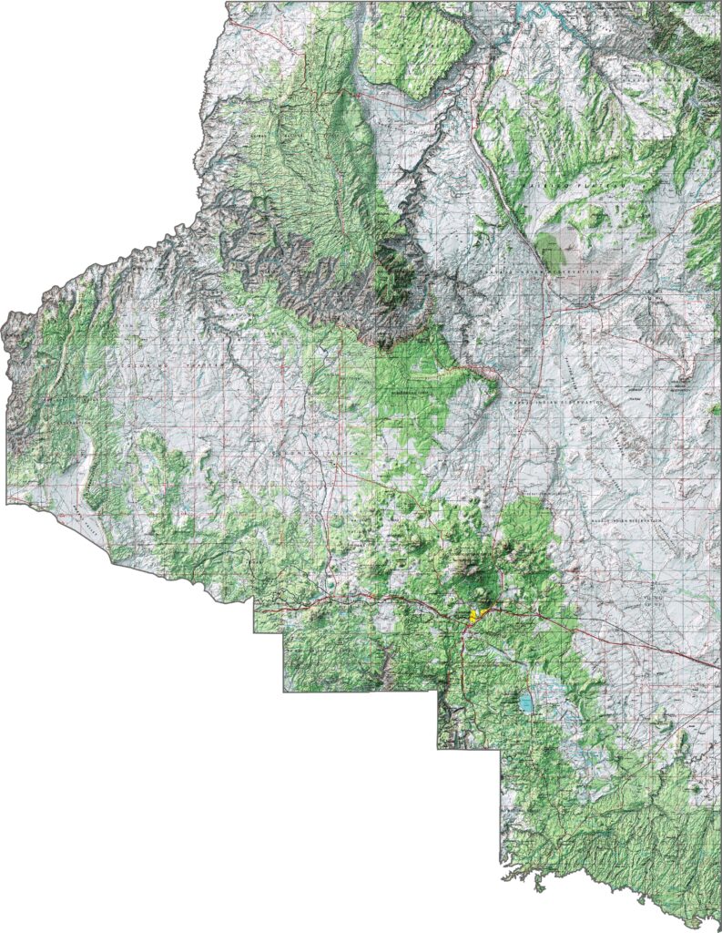
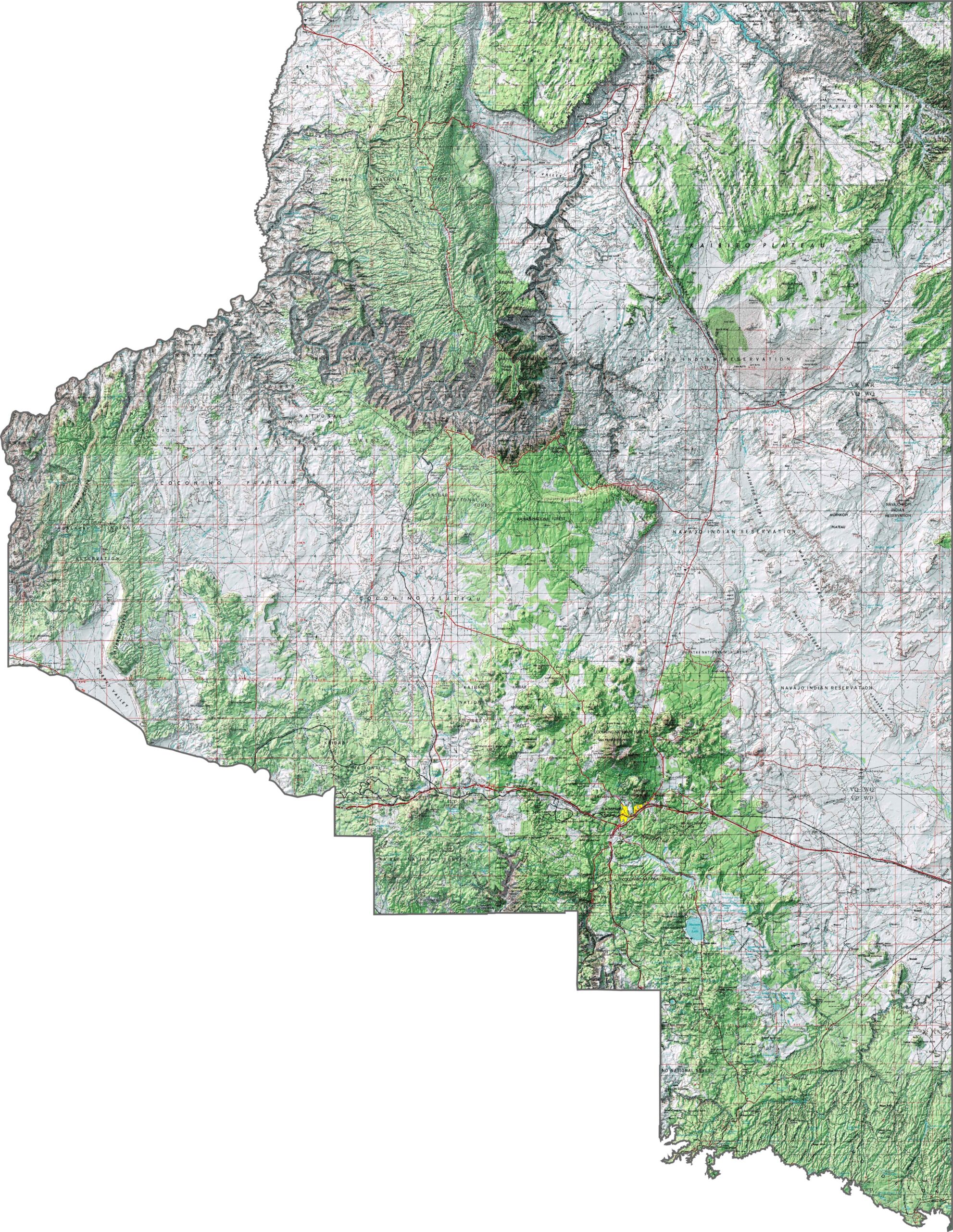
Look at how this topographic map of Coconino County captures the Grand Canyon and the high Colorado Plateau. The elevation lines highlight vast ponderosa pine forests and the towering San Francisco Peaks. Use our zoom tool to explore the terrain around the Grand Canyon in greater detail.
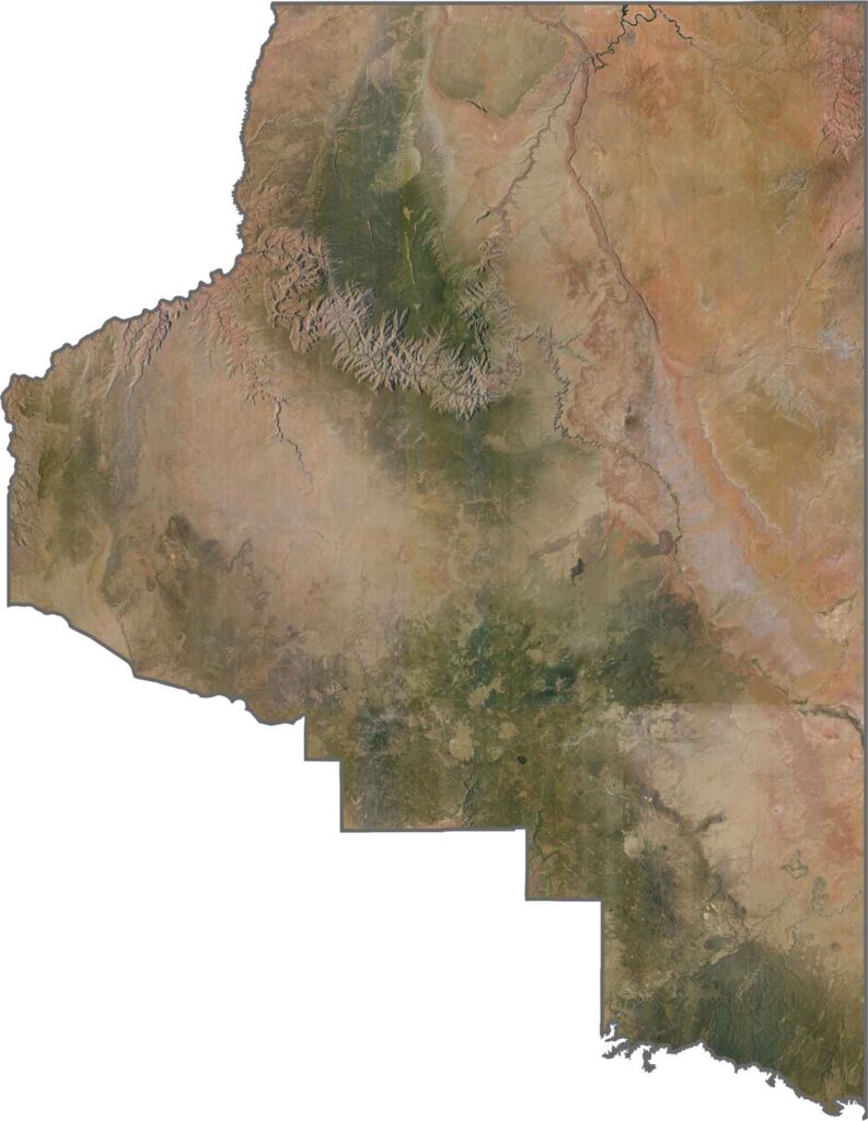
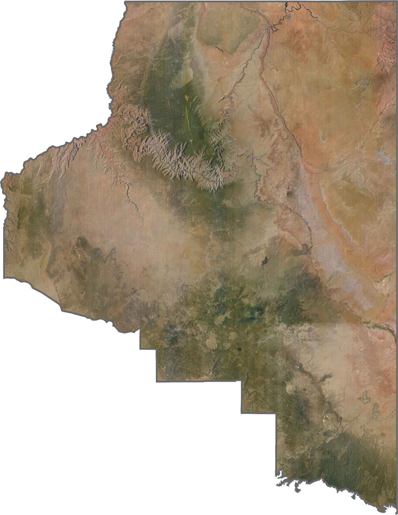
Check out this satellite view of Coconino County, where the massive Grand Canyon cuts dramatically across the landscape. As Arizona’s largest county, Coconino County features a diverse landscape of pine forests, red desert terrain, and the unmistakable Grand Canyon.
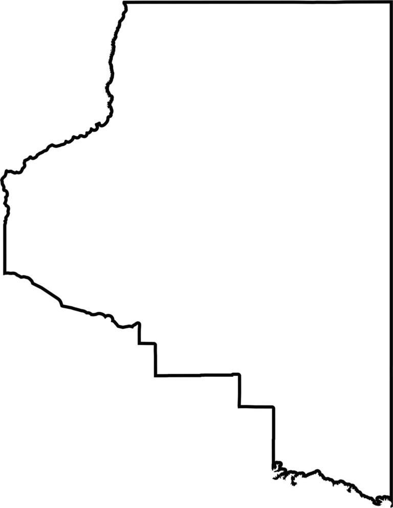
This blank map of Coconino County highlights its impressive size as Arizona’s largest county. Its mostly straight boundaries form a large, distinctive shape across the northern section of the state.
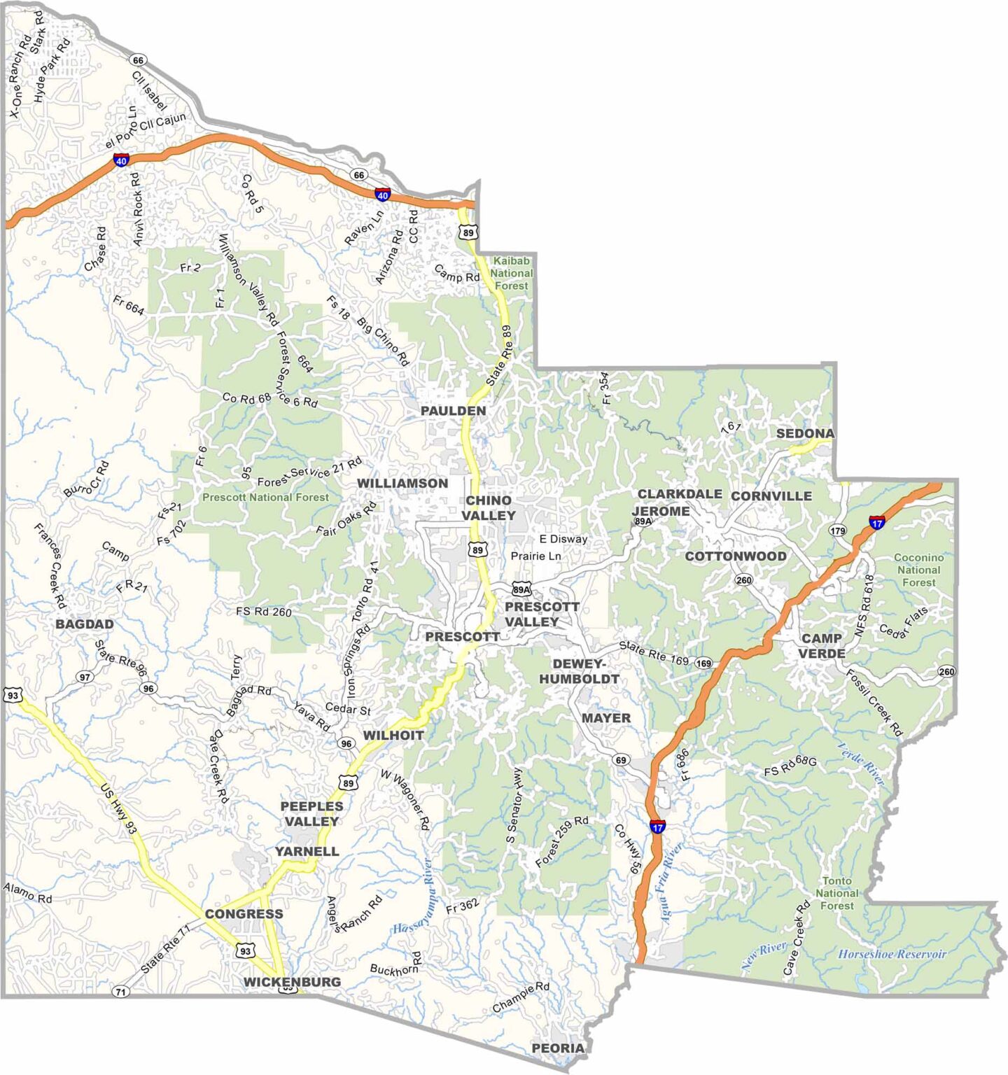
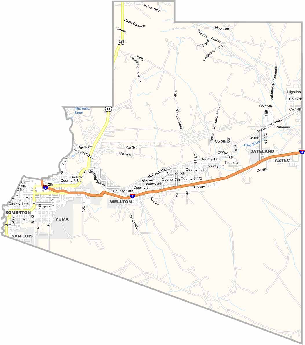
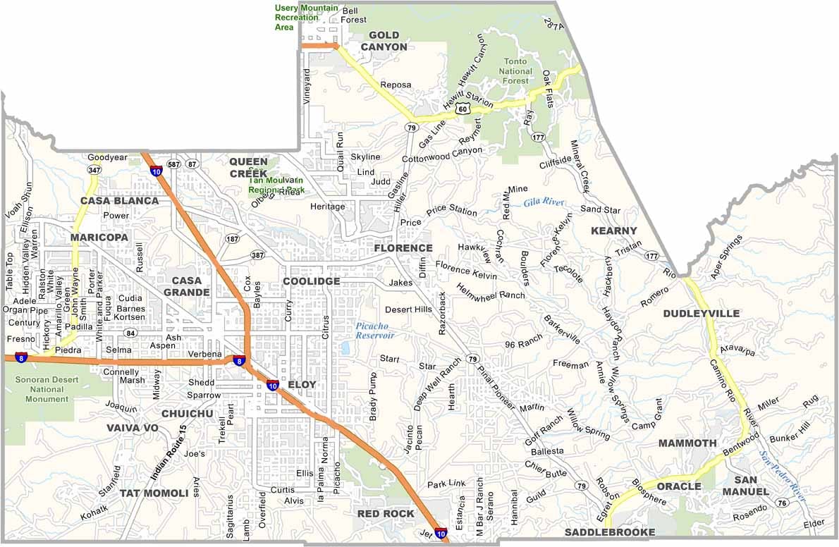
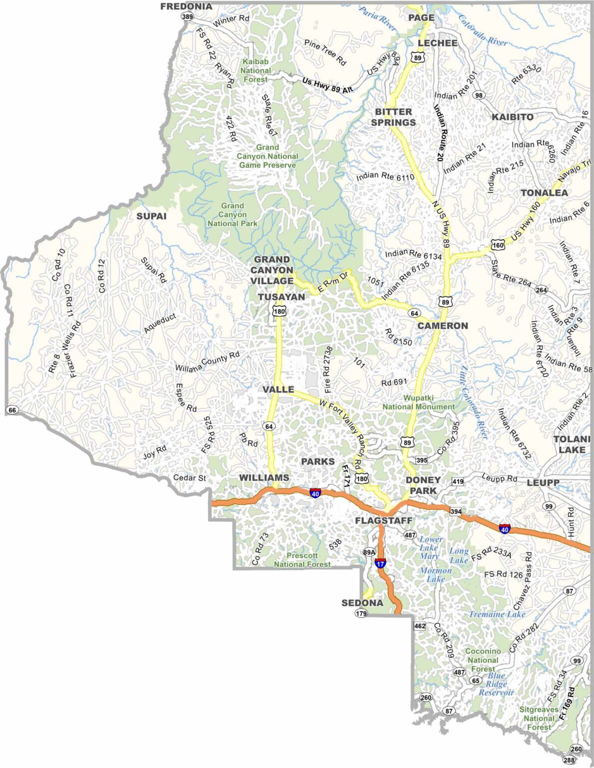

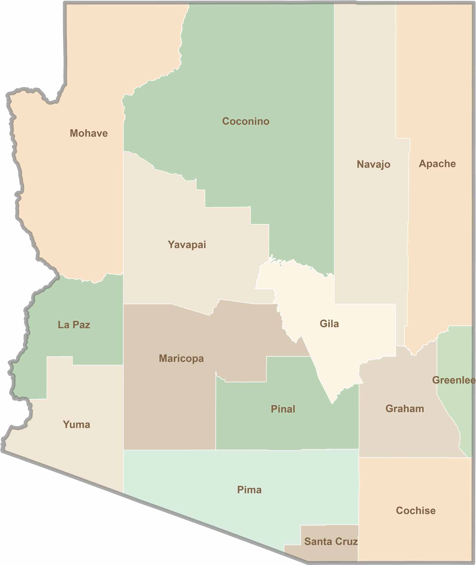
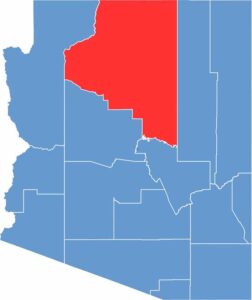
Explore all 15 counties in Arizona with our clear and colorful county map. Discover major cities, highways, landmarks, and geographic features across the Grand Canyon State. Whether you're planning an Arizona road trip, studying the state's geography, or exploring its diverse landscapes, our Arizona county map is a helpful resource for travelers, students, and geography enthusiasts.