
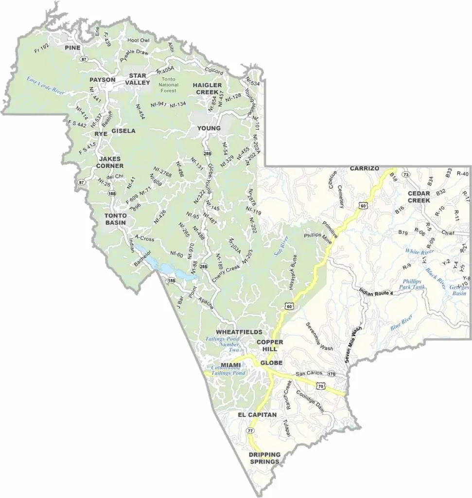
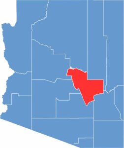
Gila County is located in central Arizona, within the Tonto National Forest. About 55,000 people live in the county. Globe, a historic mining town, serves as the county seat. Payson is the largest town and is a popular destination for people from Phoenix looking to escape the heat.
The landscape is rugged and includes mountains, canyons, and pine forests. Roosevelt Lake, the largest lake in central Arizona, is also located here. Summers can be hot in the lower elevations, while temperatures are generally milder in the mountains.
The county has a rich Native American history, including Apache and Tonto Apache reservations. The Mogollon Rim, a massive cliff formation, extends through the northern part of the county.
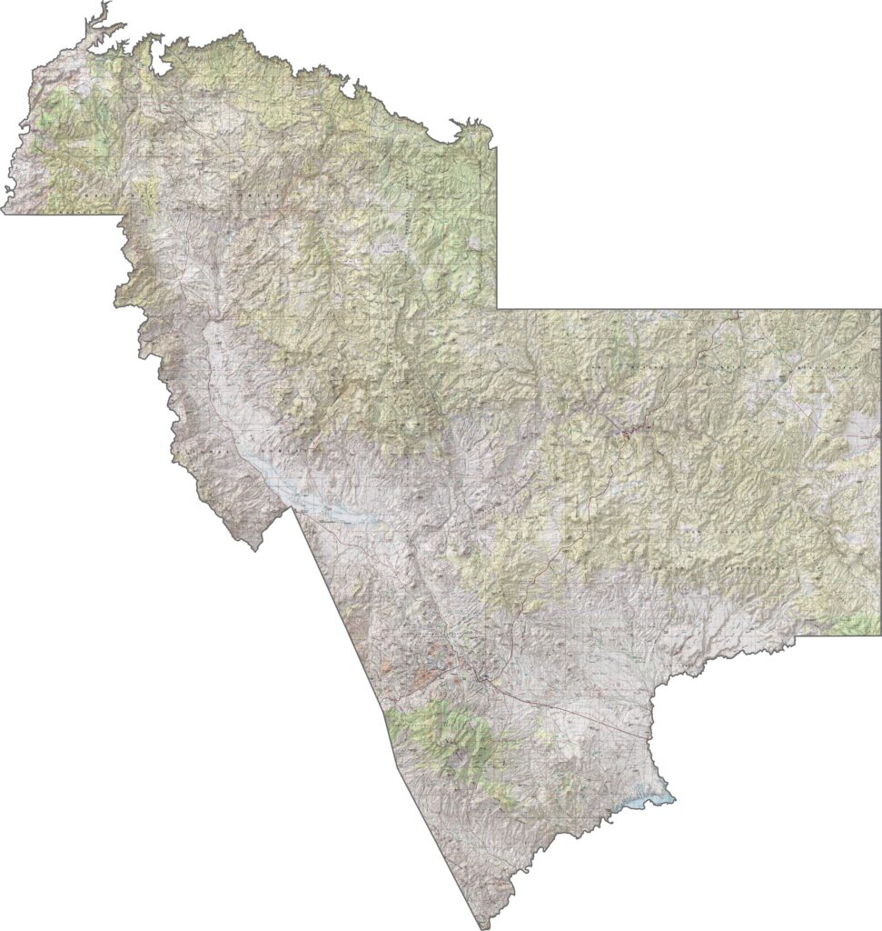
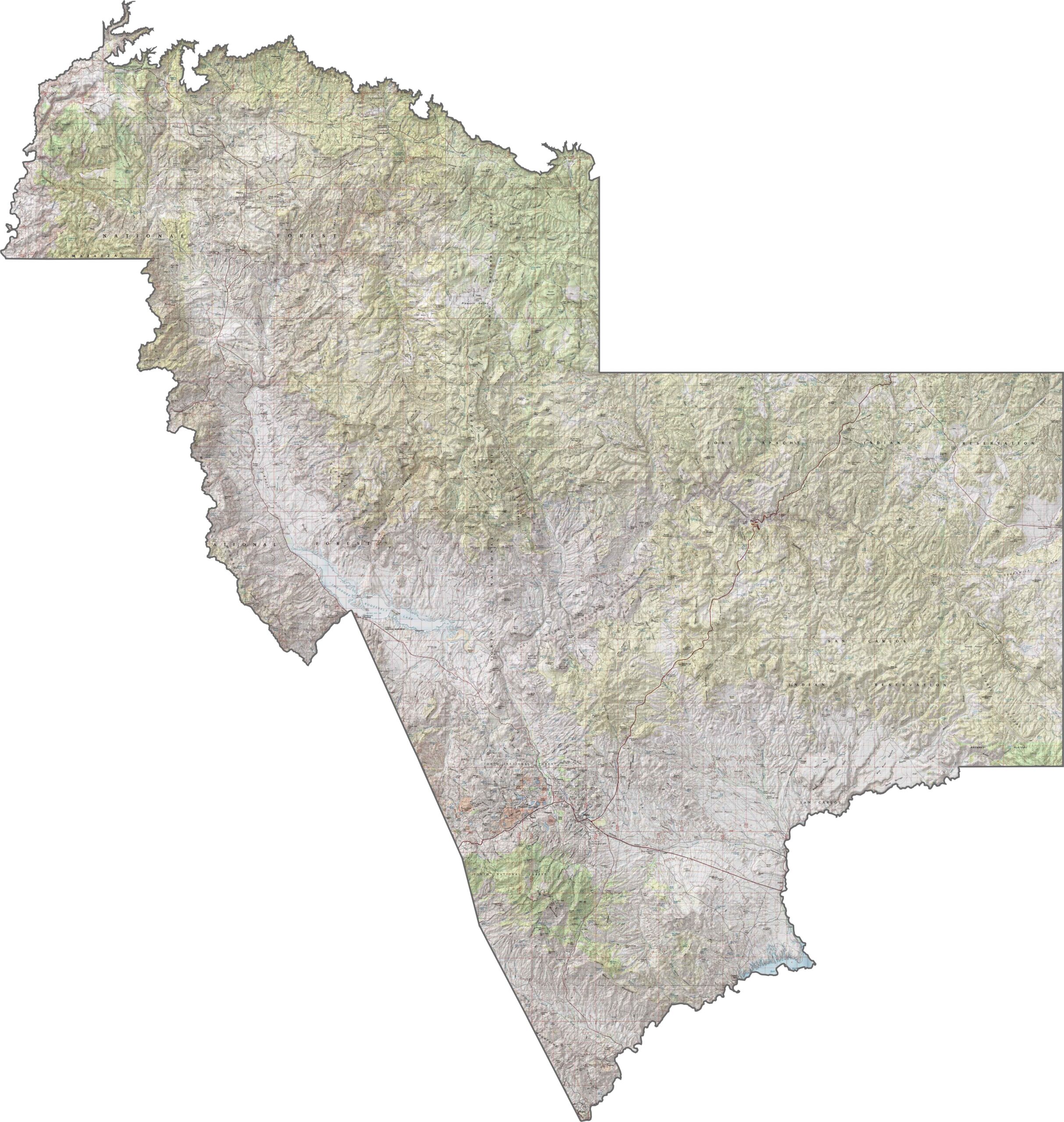
This topographic map highlights Gila County’s rugged mountains and deep canyons. The contour lines show the dramatic elevation changes around the Mogollon Rim and trace the winding paths of mountain streams below.
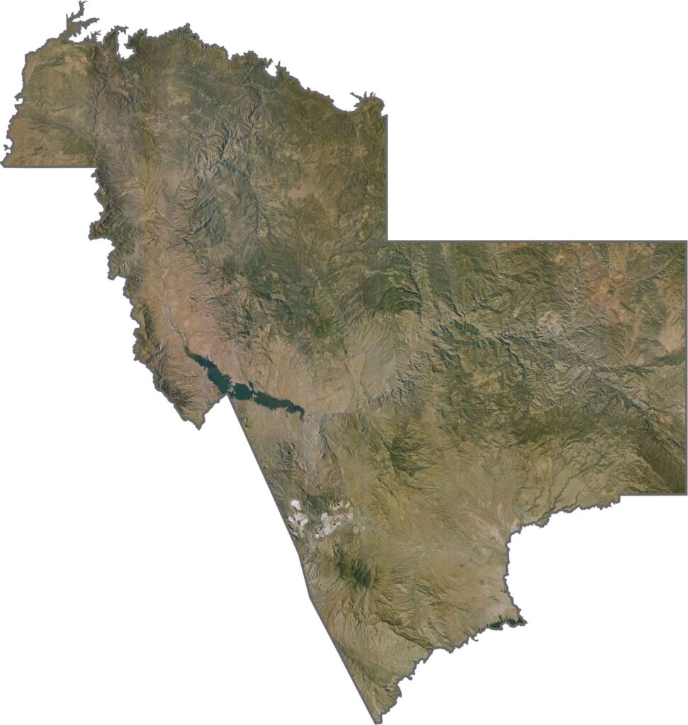
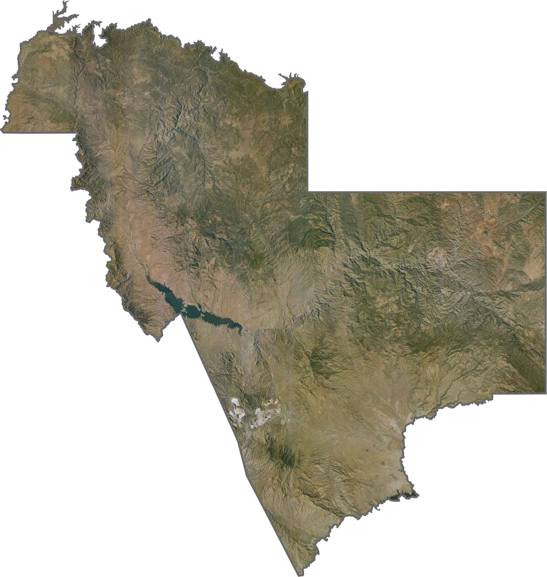
This satellite map reveals Gila County’s rugged and heavily forested terrain in central Arizona. Dark green forests around the Mogollon Rim gradually give way to more arid landscapes at lower elevations.
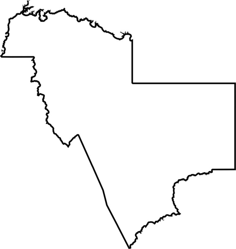
This blank map outlines Gila County’s distinctive jagged shape in central Arizona. It shows the landlocked county and its location among several neighboring counties in Arizona’s transition zone.
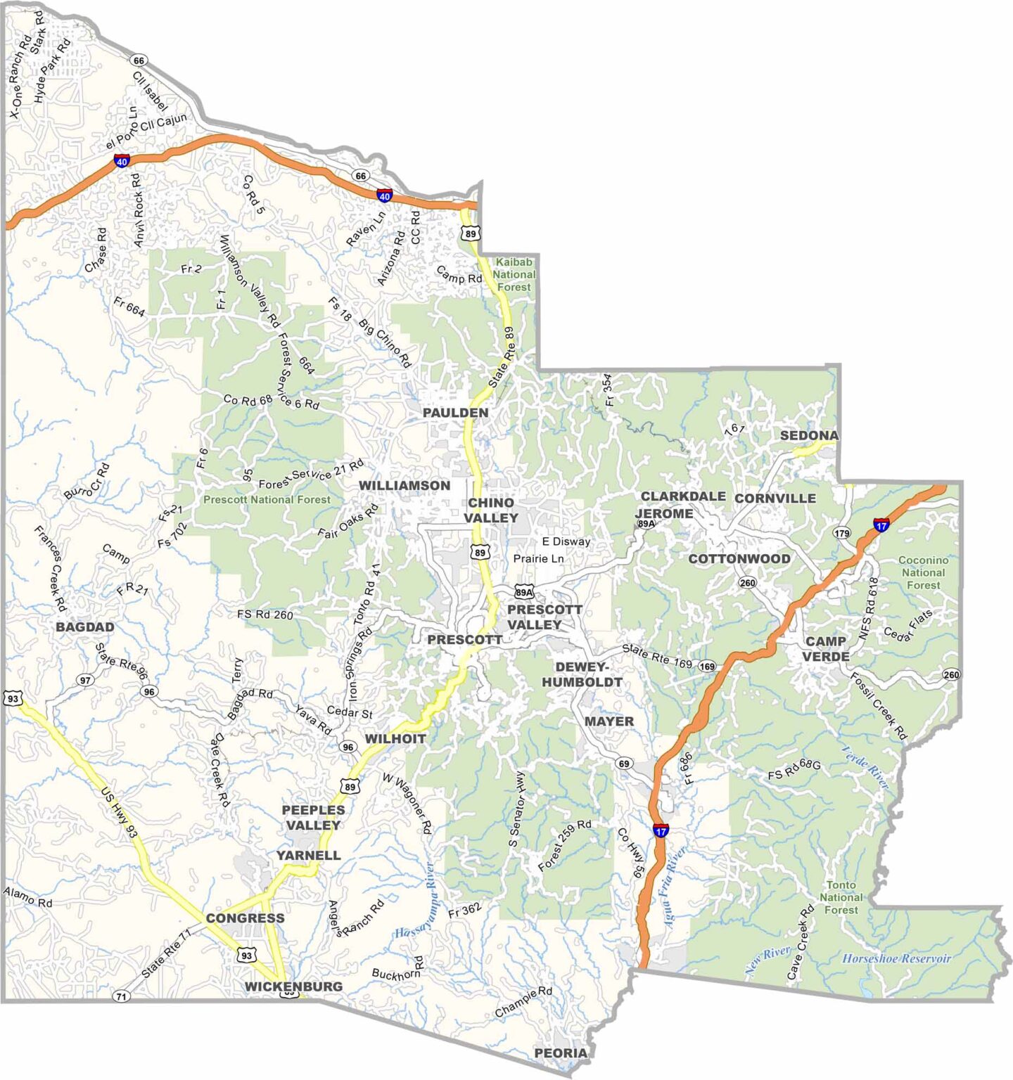
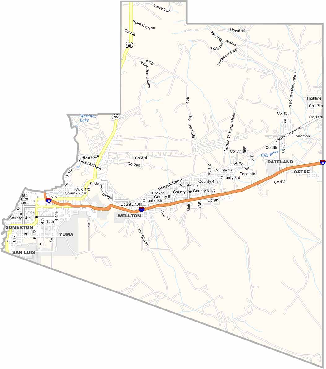
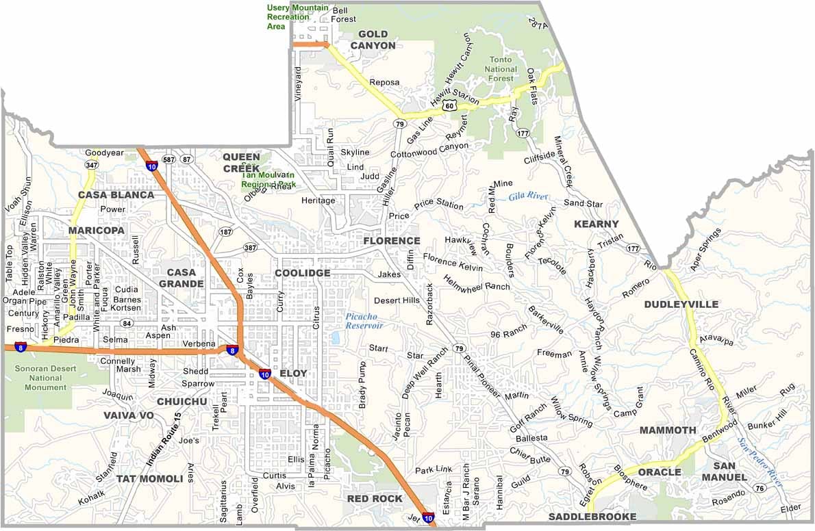
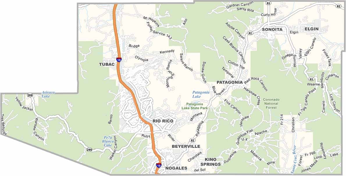
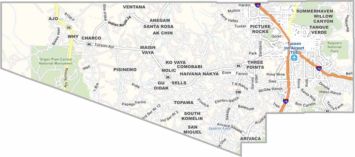
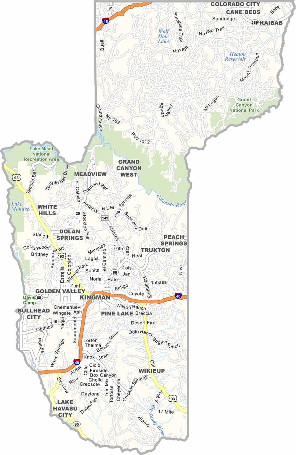
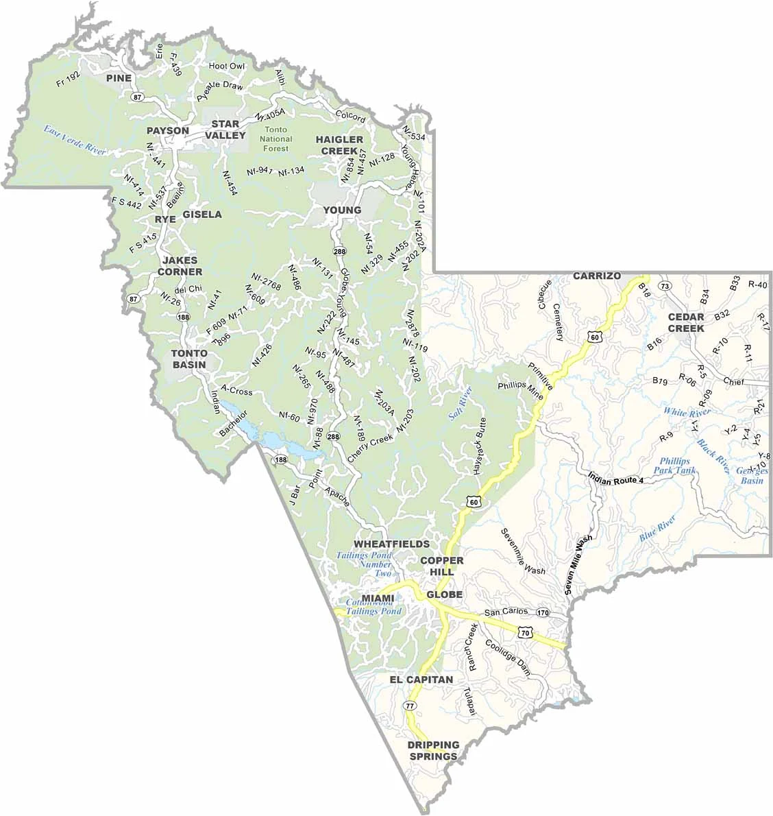

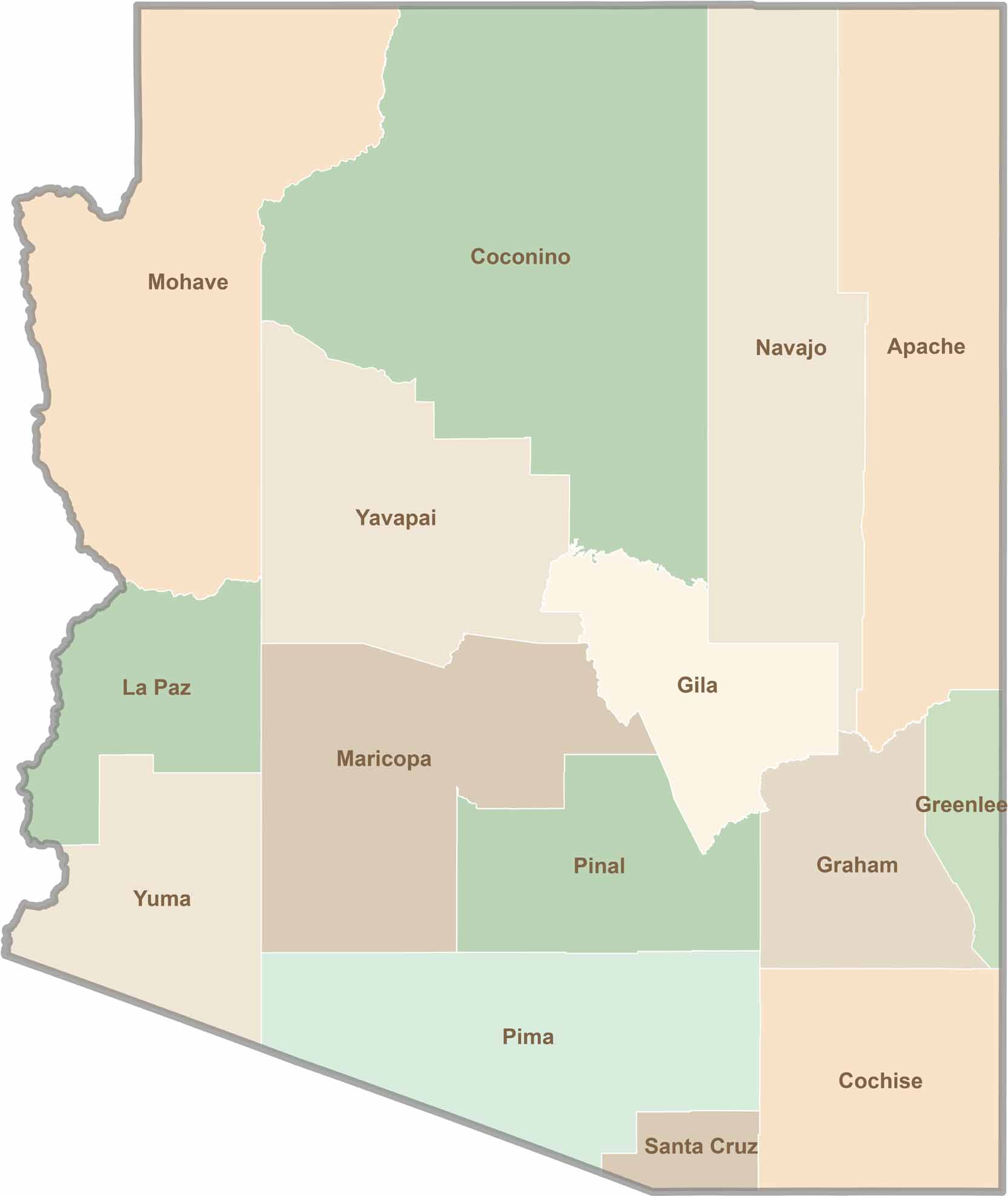
Explore all 15 counties in Arizona with our clear and colorful county map. Discover major cities, highways, landmarks, and geographic features across the Grand Canyon State. Whether you're planning an Arizona road trip, studying the state's geography, or exploring its diverse landscapes, our Arizona county map is a helpful resource for travelers, students, and geography enthusiasts.