
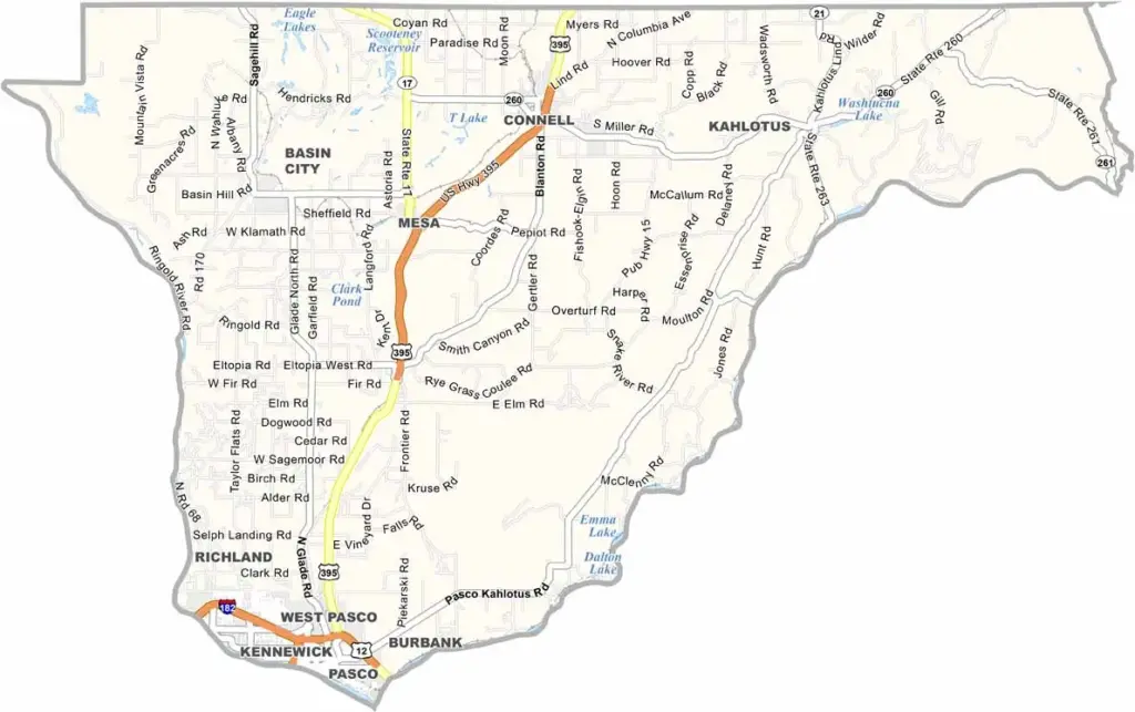
Franklin County sits in southeastern Washington, nestled between the Columbia and Snake Rivers. It is primarily agricultural, with expansive fields producing wheat, potatoes, onions, and other crops.
The county’s largest city, Pasco, forms part of the Tri-Cities metropolitan area along with Kennewick and Richland. The area offers a lively mix of wineries, golf courses, and professional sports, giving the region a unique and welcoming atmosphere.
The weather is hot and dry during the summer, creating favorable conditions for agriculture and Washington’s famous apple-growing industry. For history and natural scenery, Palouse Falls State Park is a popular destination, featuring a spectacular 198-foot waterfall and nearby camping opportunities.
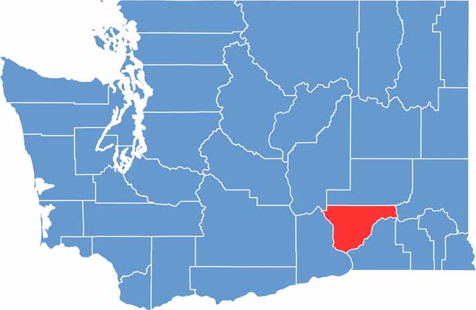
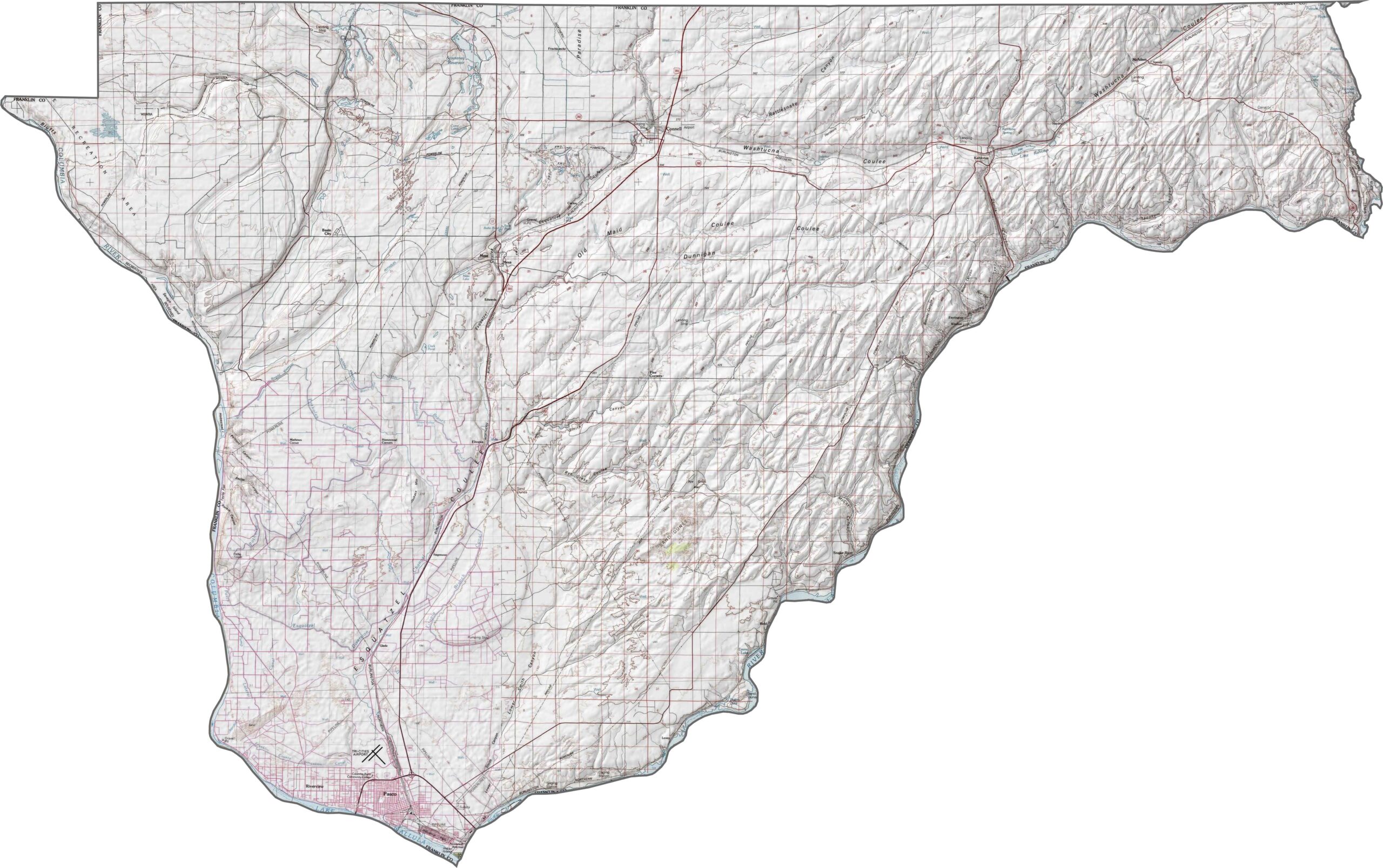
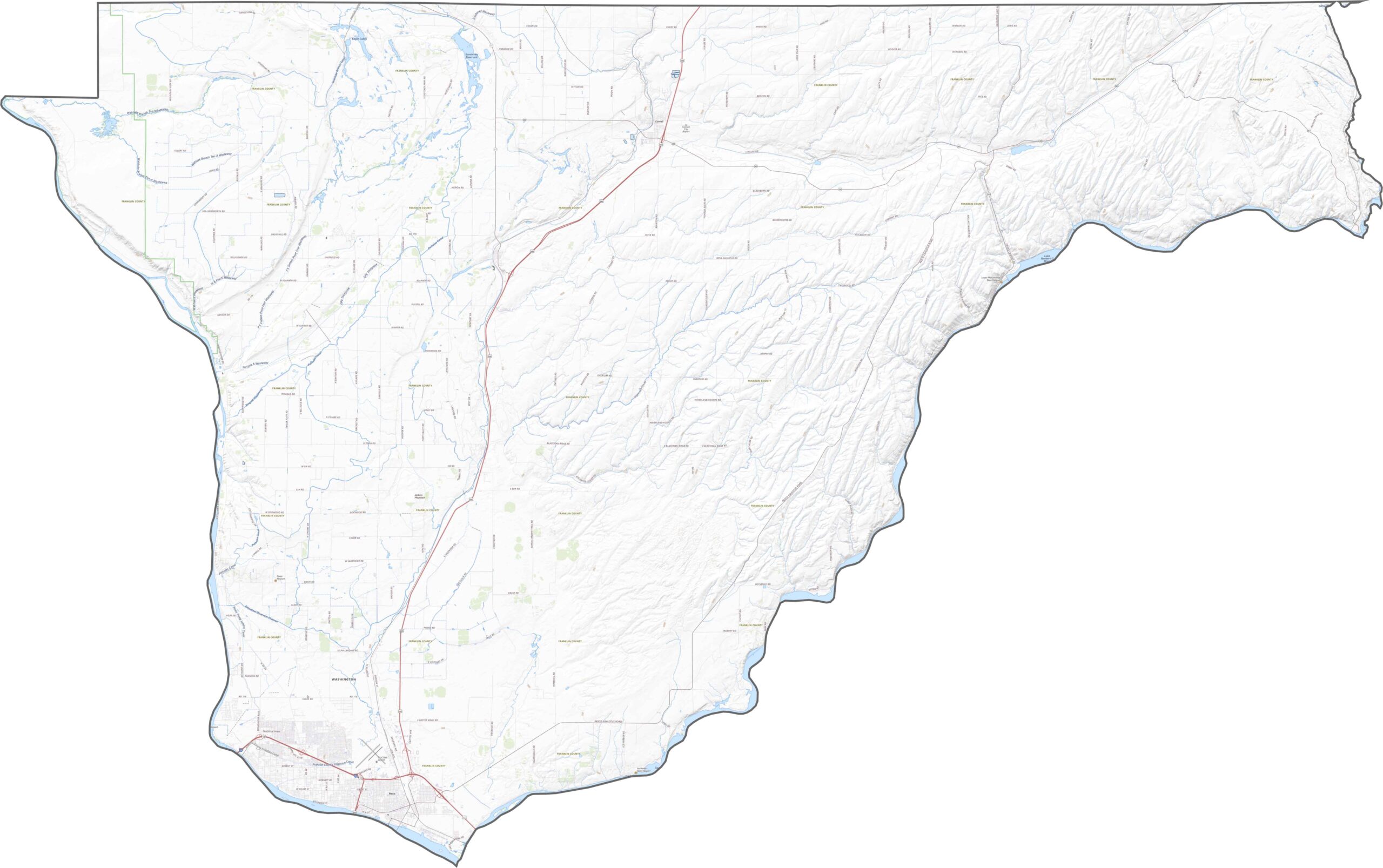
Franklin County is mostly flat, but its elevation varies more than you might expect. Much of the county lies within the broad Columbia Plateau. The Snake River cuts deeply through the southeastern portion, forming part of the county’s eastern boundary.
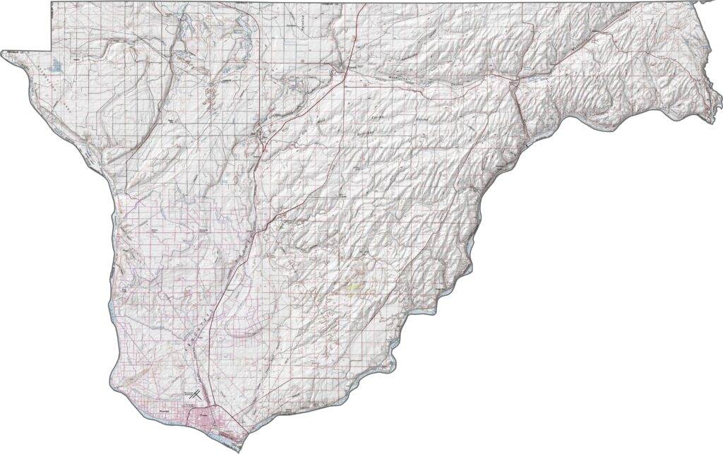
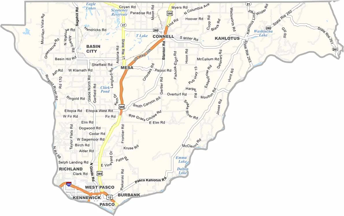
Interstate 182 crosses the southern tip of Franklin County, connecting Pasco with Richland and nearby communities. Although I-182 is relatively short, it connects with U.S. Highway 395, making north-south travel convenient. Outside Pasco, however, roads become more sparse, straight, and rural.
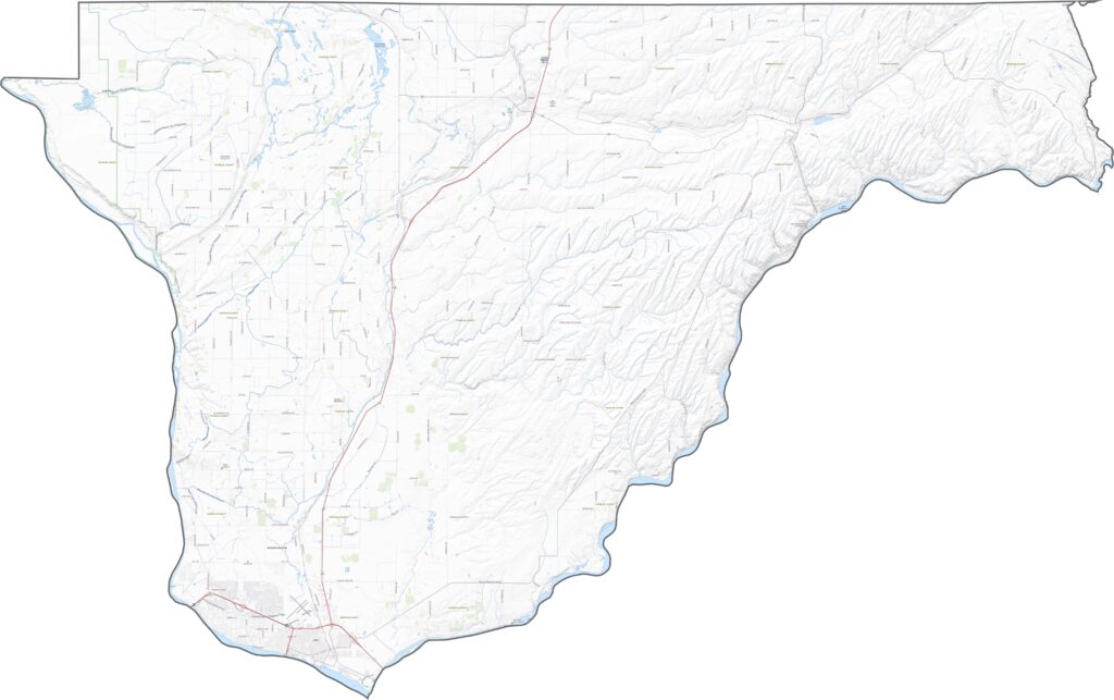
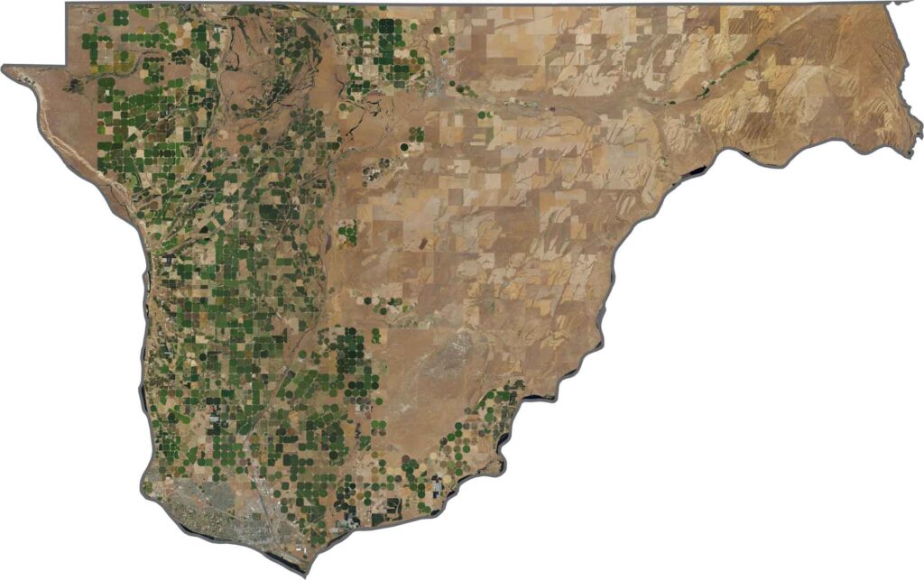
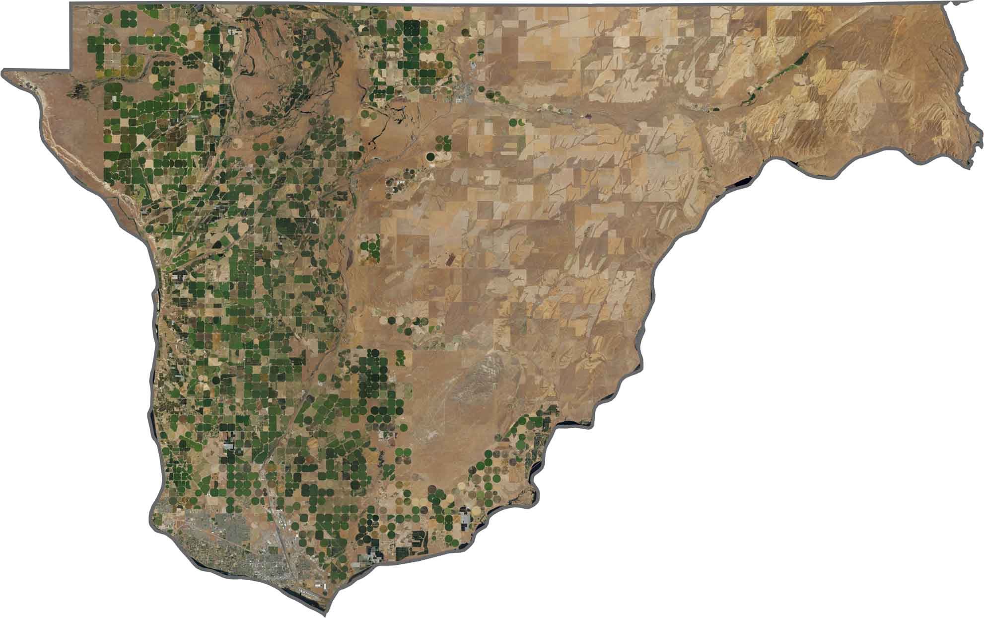
In our satellite map of Franklin County, the landscape stands out with bright green irrigation pivots against a beige agricultural background. The irrigated fields form near-perfect circles, with large numbers of them spread across the region. Pasco appears as a concentrated urban area in the south, while most of the county consists of farms, fields, and wide-open skies.
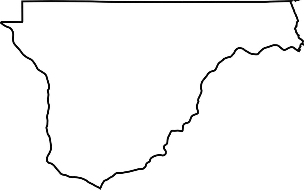
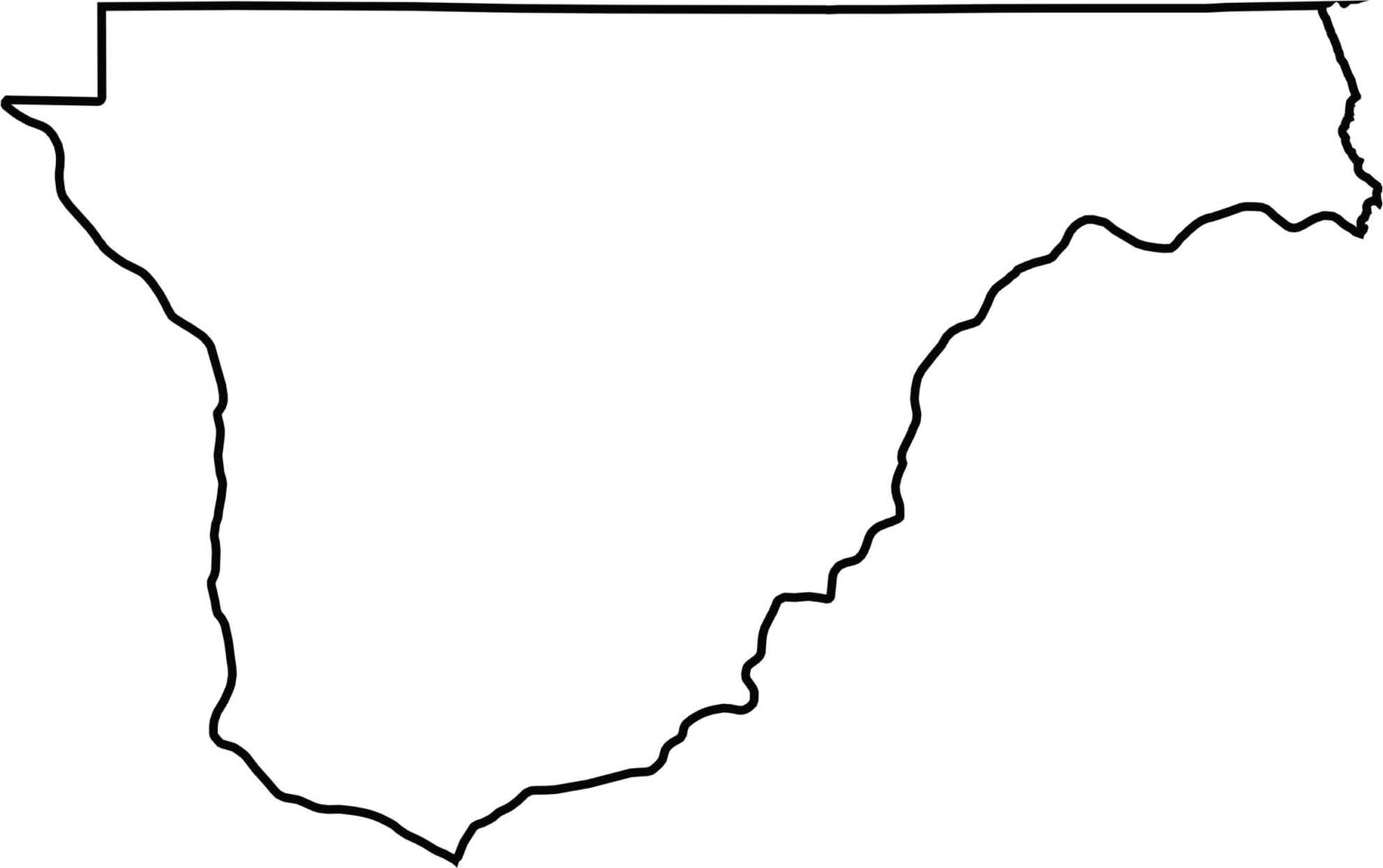
Franklin County is a tall, narrow county that stretches along the Columbia River on the west and the Snake River along the eastern edge. It does not directly border Oregon, but the state is nearby to the south. The northern boundary is the county’s only predominantly straight border.






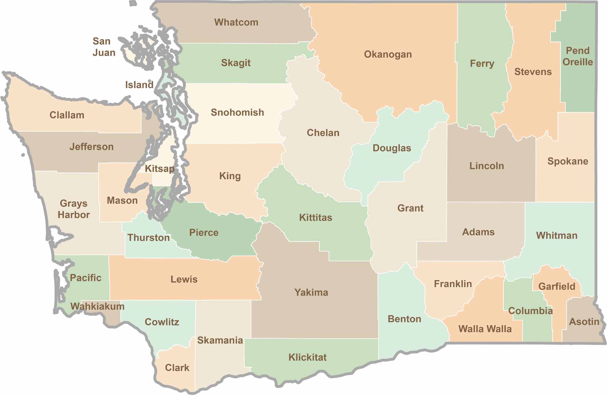
Seattle may get most of the attention, but the rest of Washington State is where the wild truly shines. From rugged Pacific coastlines and lush forests to towering mountain ranges, Washington’s 39 counties offer an incredible variety of landscapes, communities, and outdoor adventures. Explore them all and find your favorite place in Washington.