
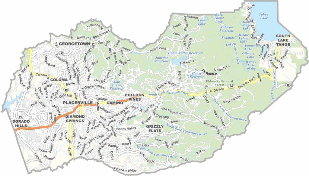
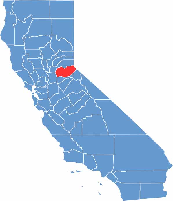
El Dorado County stretches from the Sacramento Valley into the Sierra Nevada and has deep ties to California’s Gold Rush history. Today, the county is better known for its vineyards, mountain communities, and scenic outdoor landscapes than for gold mining.
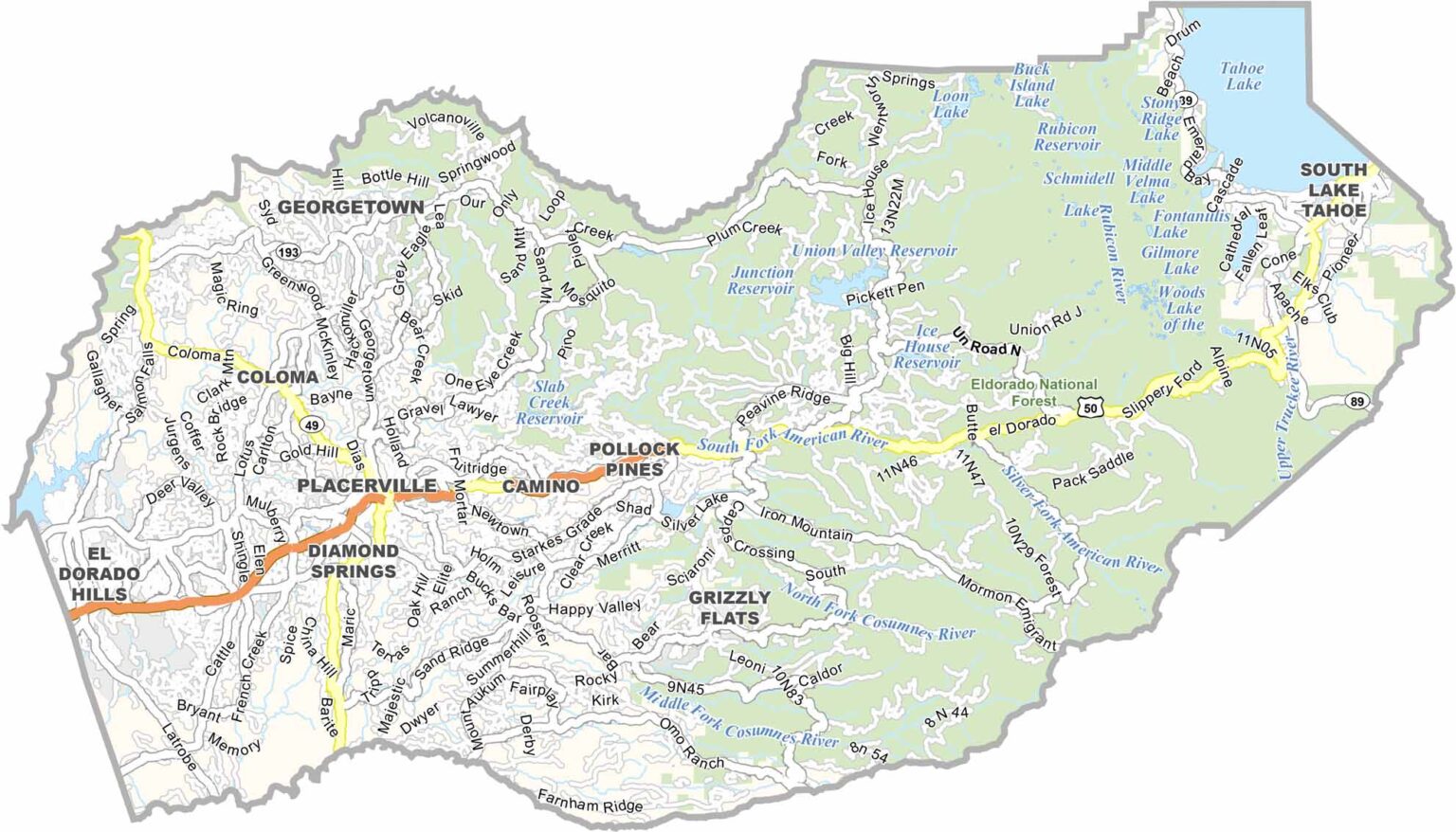
Highway 50 runs through the county, providing a major route toward South Lake Tahoe. The El Dorado wine region features vineyards set among rolling hills and mountain views, creating a scenic alternative to California’s more famous wine regions.
Eldorado National Forest offers extensive opportunities for camping, hiking, fishing, and exploring the Sierra Nevada. El Dorado County has also appeared on screen, including locations featured in the film “Lady Bird.” With its combination of Gold Rush history, wine country, forests, and mountain scenery, the county offers a diverse mix of California landscapes.
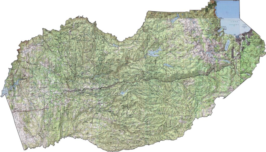
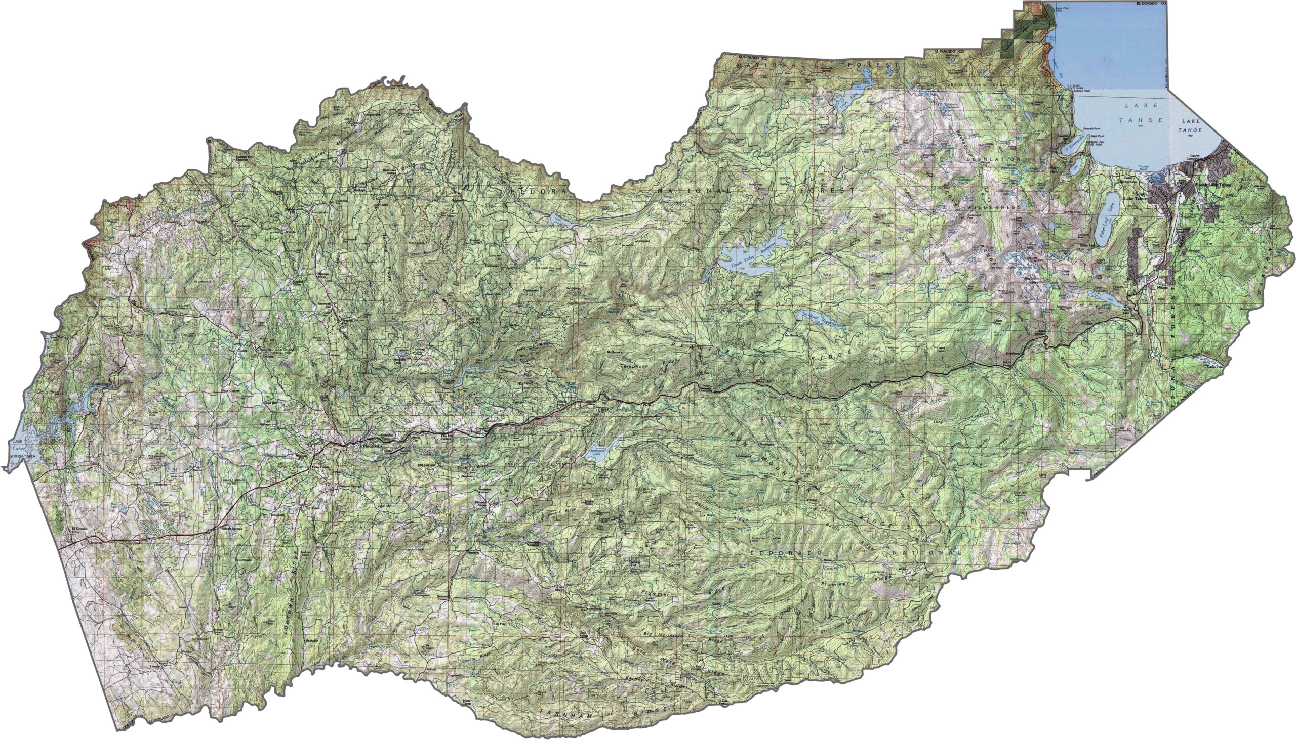
This topographic map highlights El Dorado County’s transition from the western foothills to the high Sierra Nevada and Lake Tahoe Basin. Use our zoom tool to explore the county’s dramatic elevation changes and varied mountain terrain.
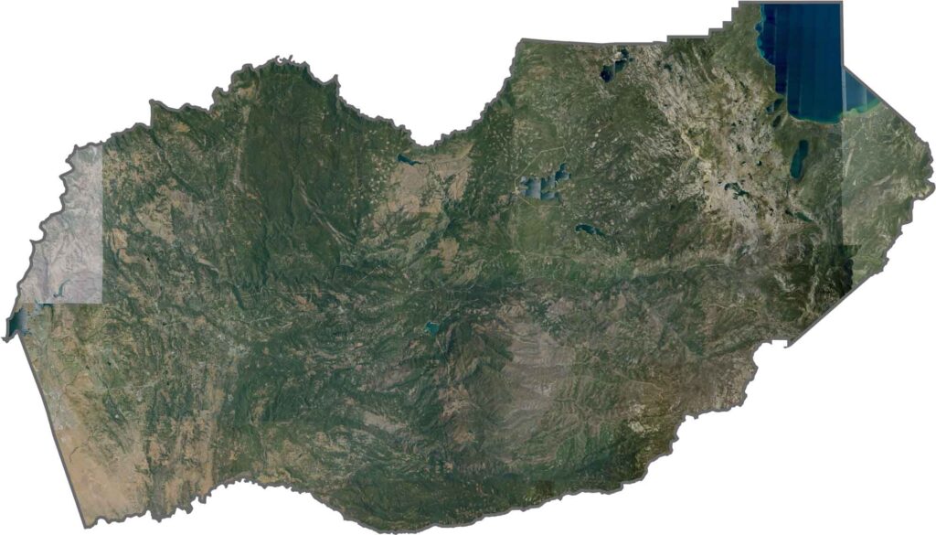
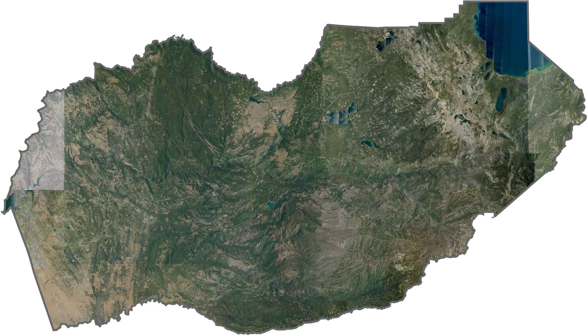
Forest cover becomes denser from west to east in this satellite view, reflecting the transition into the Sierra Nevada. Lake Tahoe’s deep blue waters stand out in the northeastern corner, surrounded by rugged mountain landscapes.
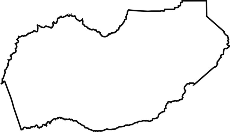
This blank map presents El Dorado County’s elongated outline stretching from the Sacramento Valley into the Sierra Nevada. The simple shape highlights the county’s changing geography from lower foothills in the west to high-elevation mountain country near Lake Tahoe.








Ever wonder how California’s 58 counties are organized? Our California county map lays them all out, from the Pacific Coast to the vast desert regions. Explore the map to find the counties you know—and perhaps discover a few you don’t.