
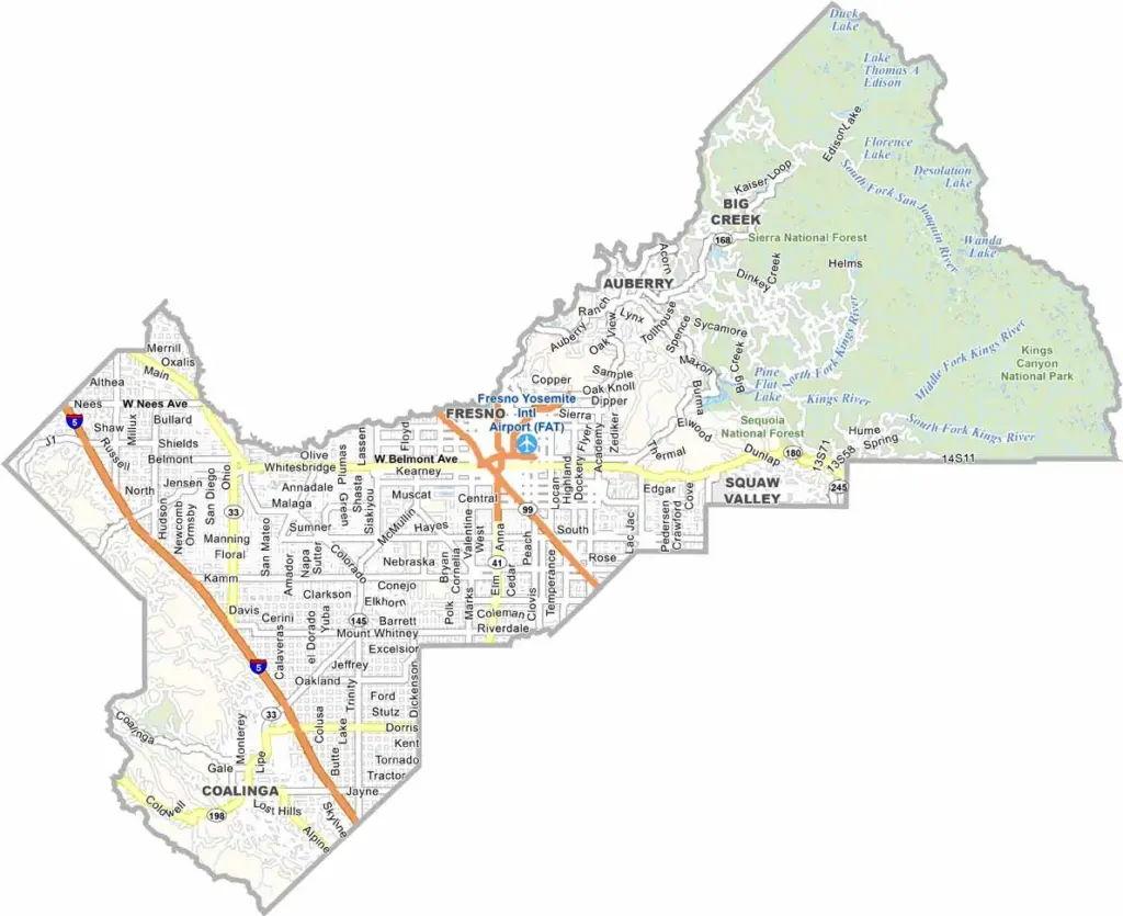
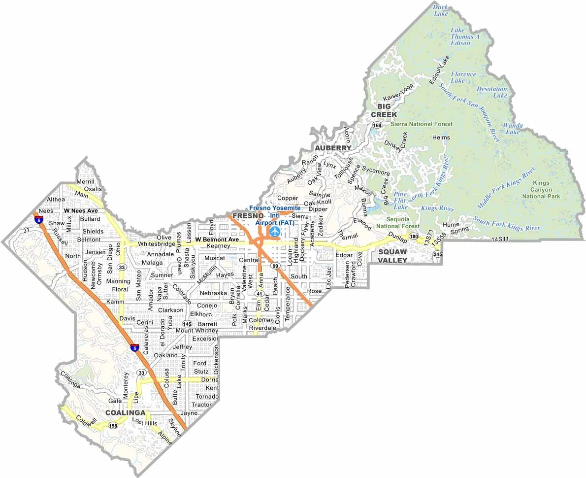
Fresno County sits in the heart of California’s Central Valley, with Fresno serving as both the county seat and largest city. The county is known for its diverse communities, productive farmland, and convenient access to some of California’s most spectacular national parks.
Highways 99 and 41 provide major transportation routes through the county, making it easy to travel between Fresno, surrounding communities, and the nearby Sierra Nevada. Despite its busy urban center, Fresno County is never far from outdoor recreation and mountain landscapes.
The county offers easy access to Sierra National Forest and nearby Kings Canyon National Park, making it a popular base for exploring the region. California State University, Fresno, also known as Fresno State, is recognized for its strong agricultural programs and connection to the Central Valley’s farming industry.
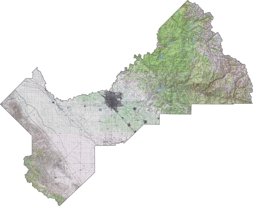
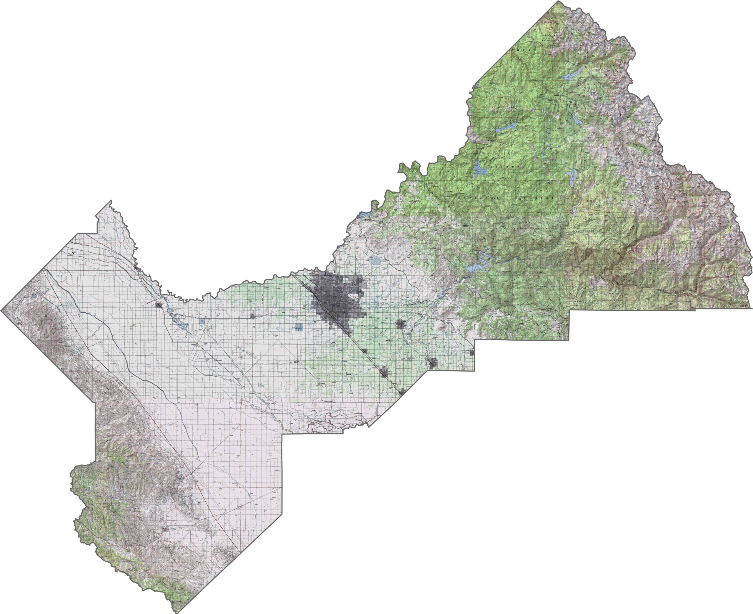
This topographic map highlights Fresno County’s dramatic transition from the flat San Joaquin Valley floor to the high peaks of the Sierra Nevada. The detailed contours reveal how the terrain rises steadily from the agricultural plains toward the rugged eastern mountains.
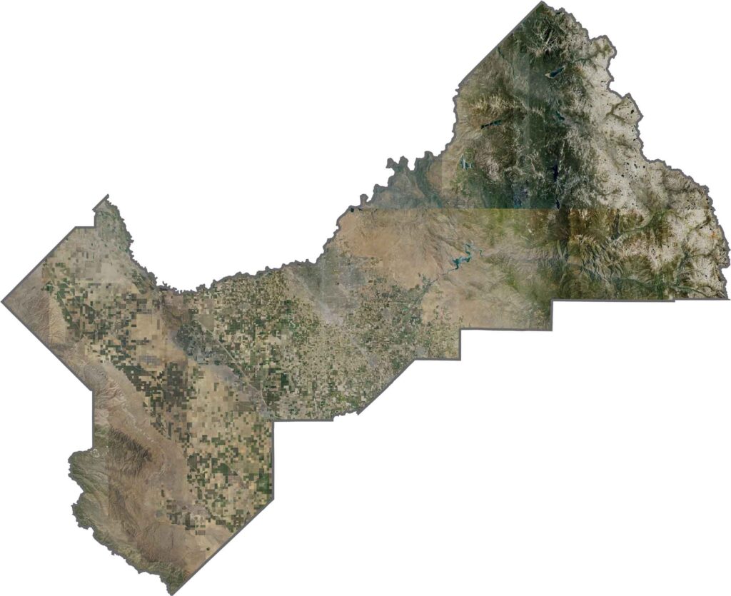
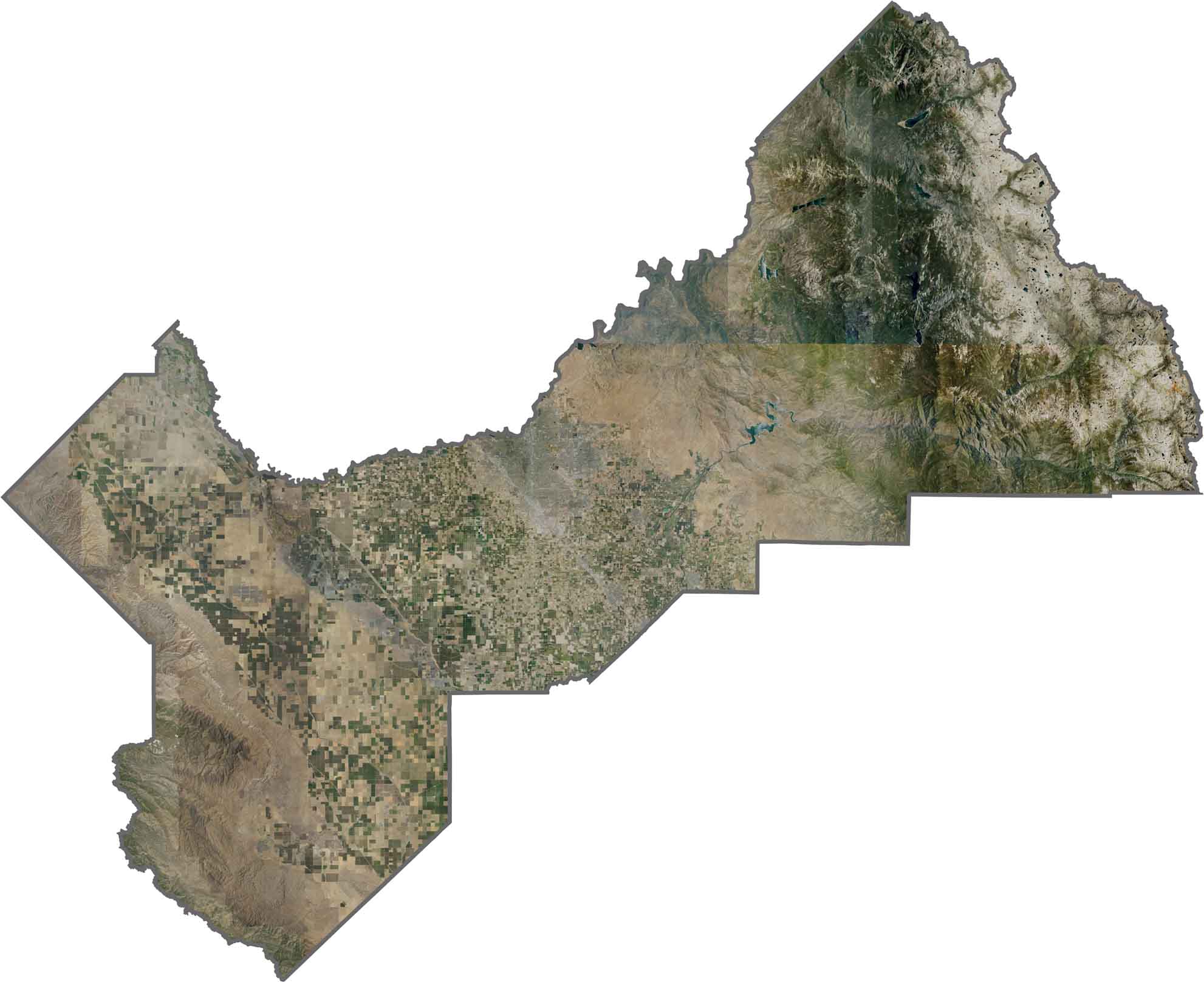
This satellite map shows a striking contrast between the two halves of Fresno County. Extensive farm fields form a geometric grid across the western portion, while the eastern landscape transitions into densely forested mountains and higher Sierra Nevada terrain.
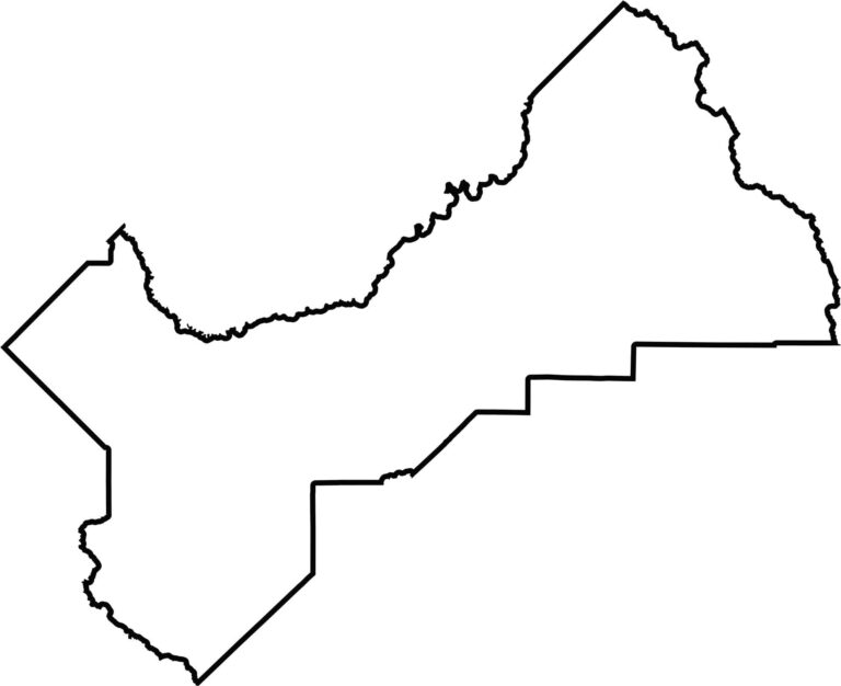
This blank map outlines Fresno County’s large, rectangular shape in the central San Joaquin Valley. The eastern boundary extends deep into the Sierra Nevada, while the western edge reaches toward the Coast Range, emphasizing the county’s broad geographic range.








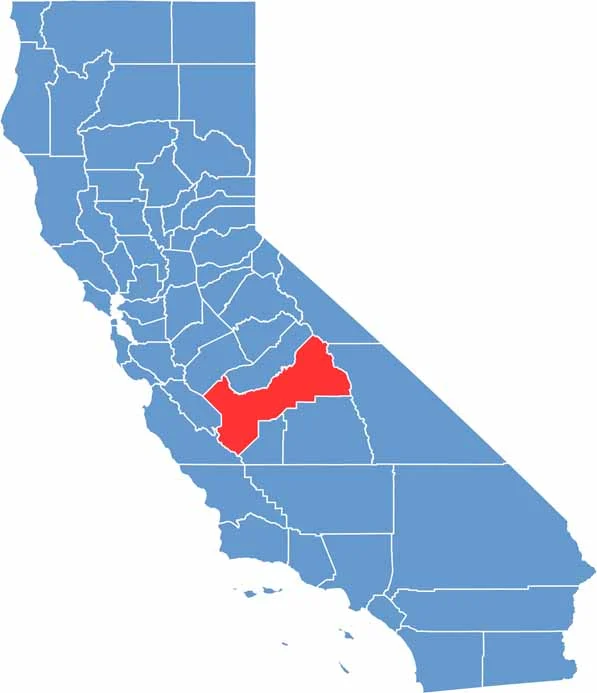
Ever wonder how California’s 58 counties are organized? Our California county map lays them all out, from the Pacific Coast to the vast desert regions. Explore the map to find the counties you know—and perhaps discover a few you don’t.