
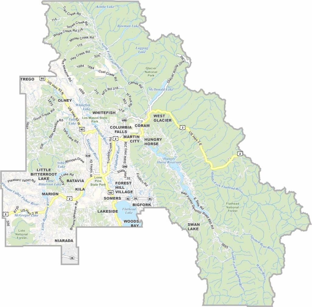
Flathead County is the crown jewel of northwest Montana. Nature really shows off here. Glacier National Park sits right on its doorstep, attracting visitors from all over with its jagged peaks and icy blue lakes. The locals are a friendly bunch, always happy to swap stories over a cold beer.
Kalispell is the county seat and offers a cool mix of Old West charm and modern amenities. Whitefish is a quirky mountain town. It’s the kind of place where you might see someone walking their pet goat down Main Street. No joke. The county gets its name from the Flathead Native American tribe. And Flathead Lake is huge. We’re talking about the largest natural freshwater lake west of the Mississippi.
Summers here are a dream, with long days perfect for hiking, fishing, or simply relaxing by the water. Winters? They don’t mess around. That’s when skiers and snowboarders take over the slopes at Whitefish Mountain Resort. And let’s not forget the wildlife. Keep your eyes peeled for grizzlies, moose, and maybe even a mountain lion if you’re lucky—or unlucky, depending on how you look at it.
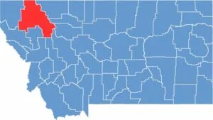
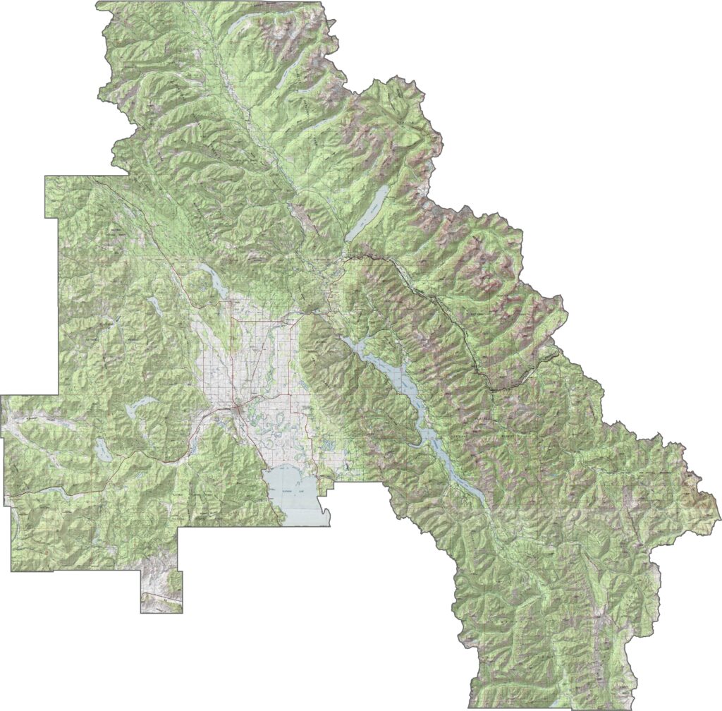
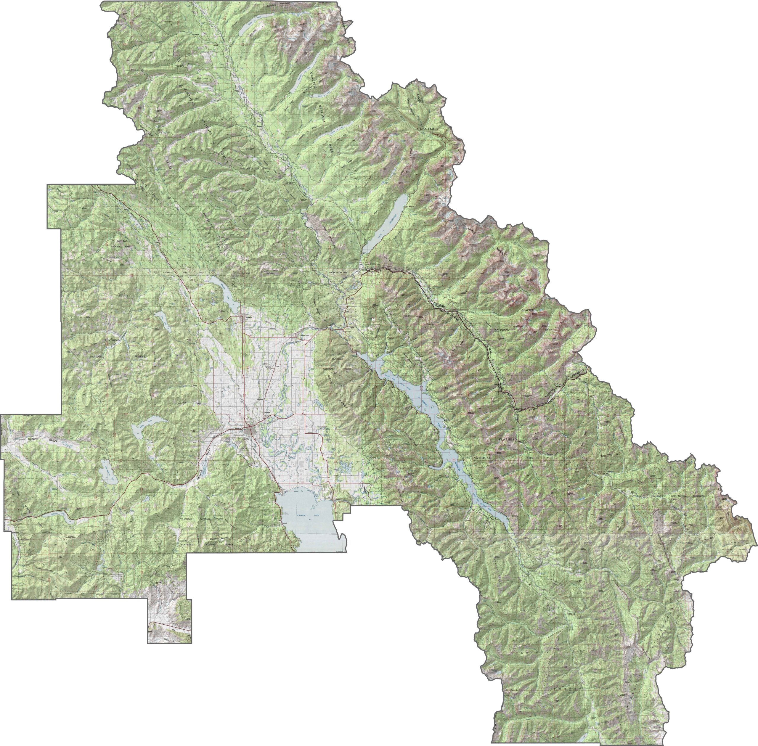
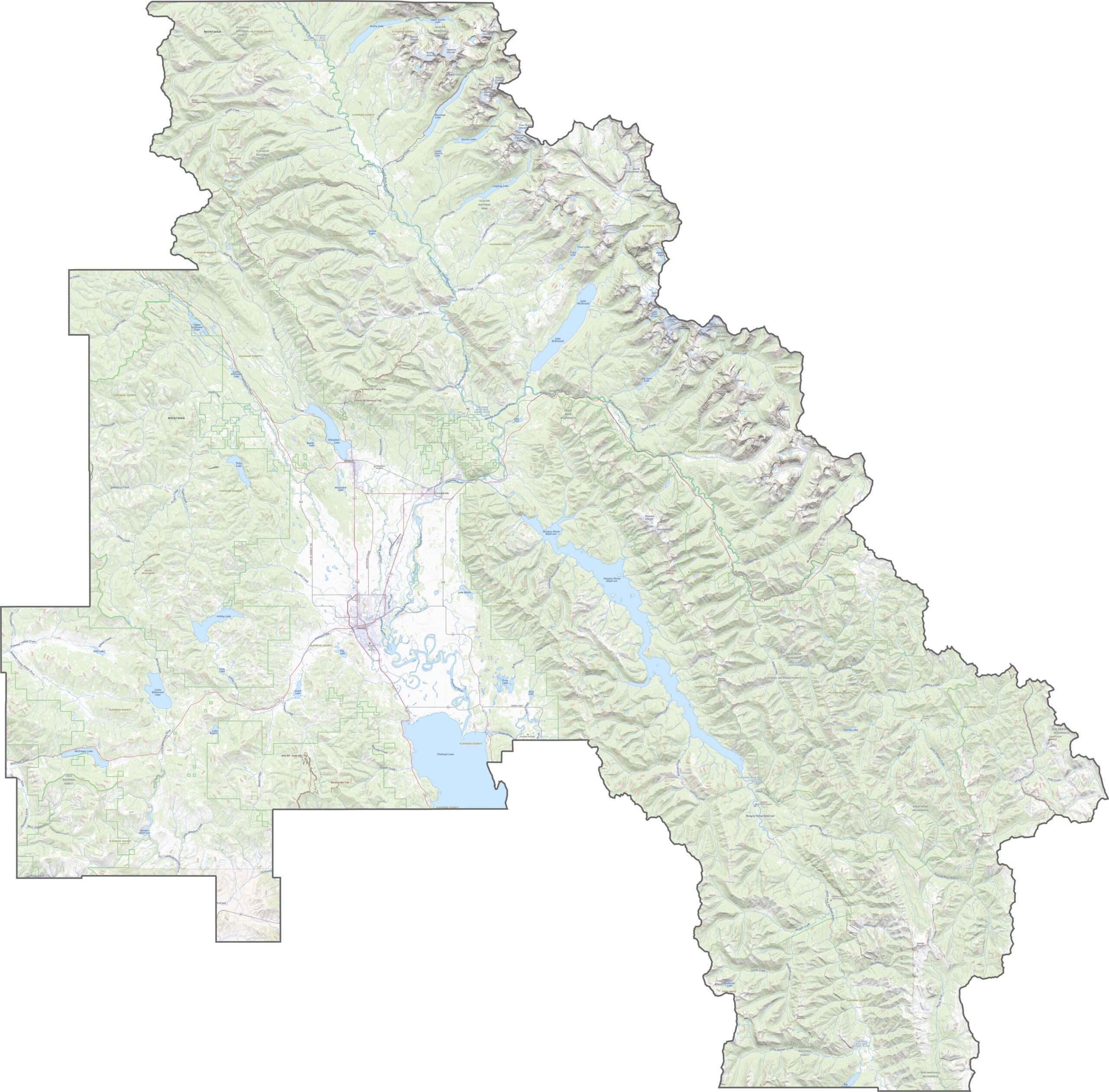
As you can see in our topographic map, Flathead County is pure mountain country. The Flathead Valley stretches through the middle, surrounded by sharp peaks. To the east, the towering mountains of Glacier National Park dominate the skyline.
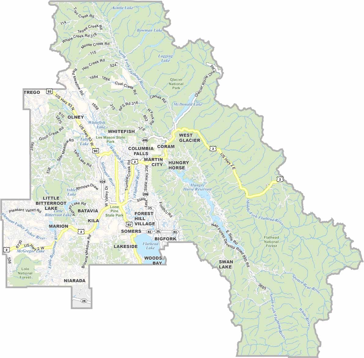
U.S. Highway 2 serves as the backbone of Flathead County, connecting forest towns and glacial valleys. Meanwhile, Highway 93 runs north to south through Whitefish, Kalispell, and beyond. Although the highways cover plenty of ground, sharp curves and mountain passes appear quickly. Back roads wind through the forests and around the lakes, but don’t expect fast travel everywhere.
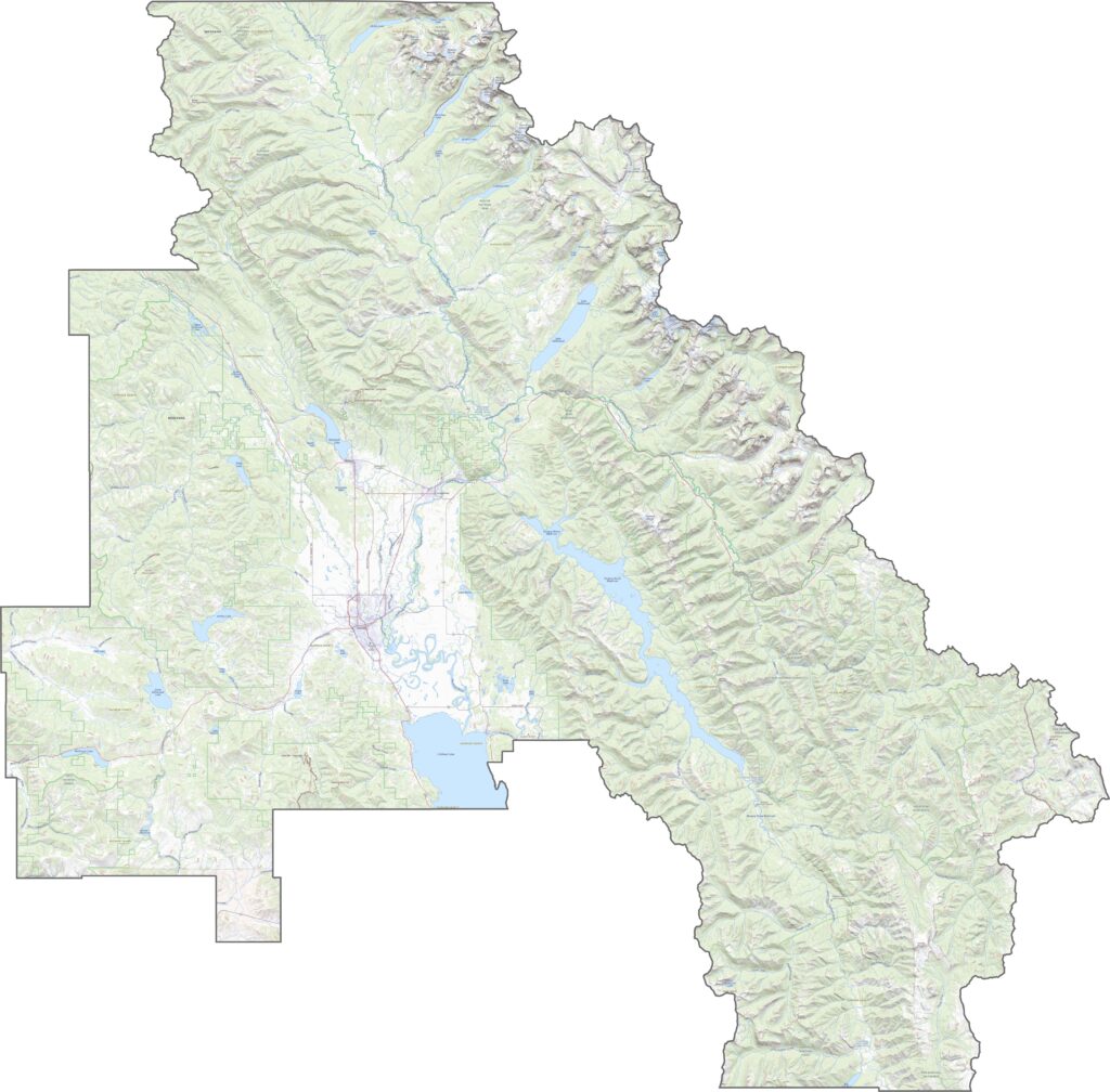
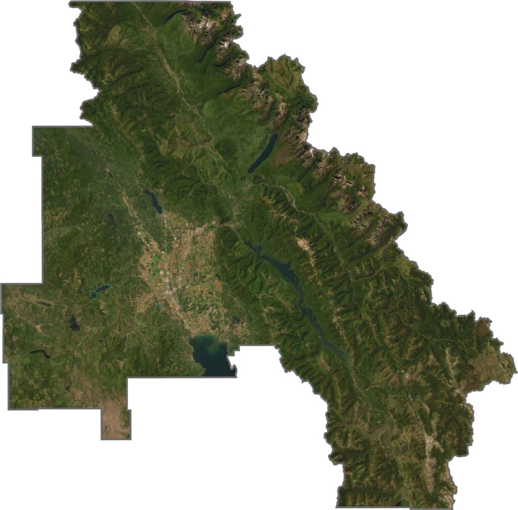
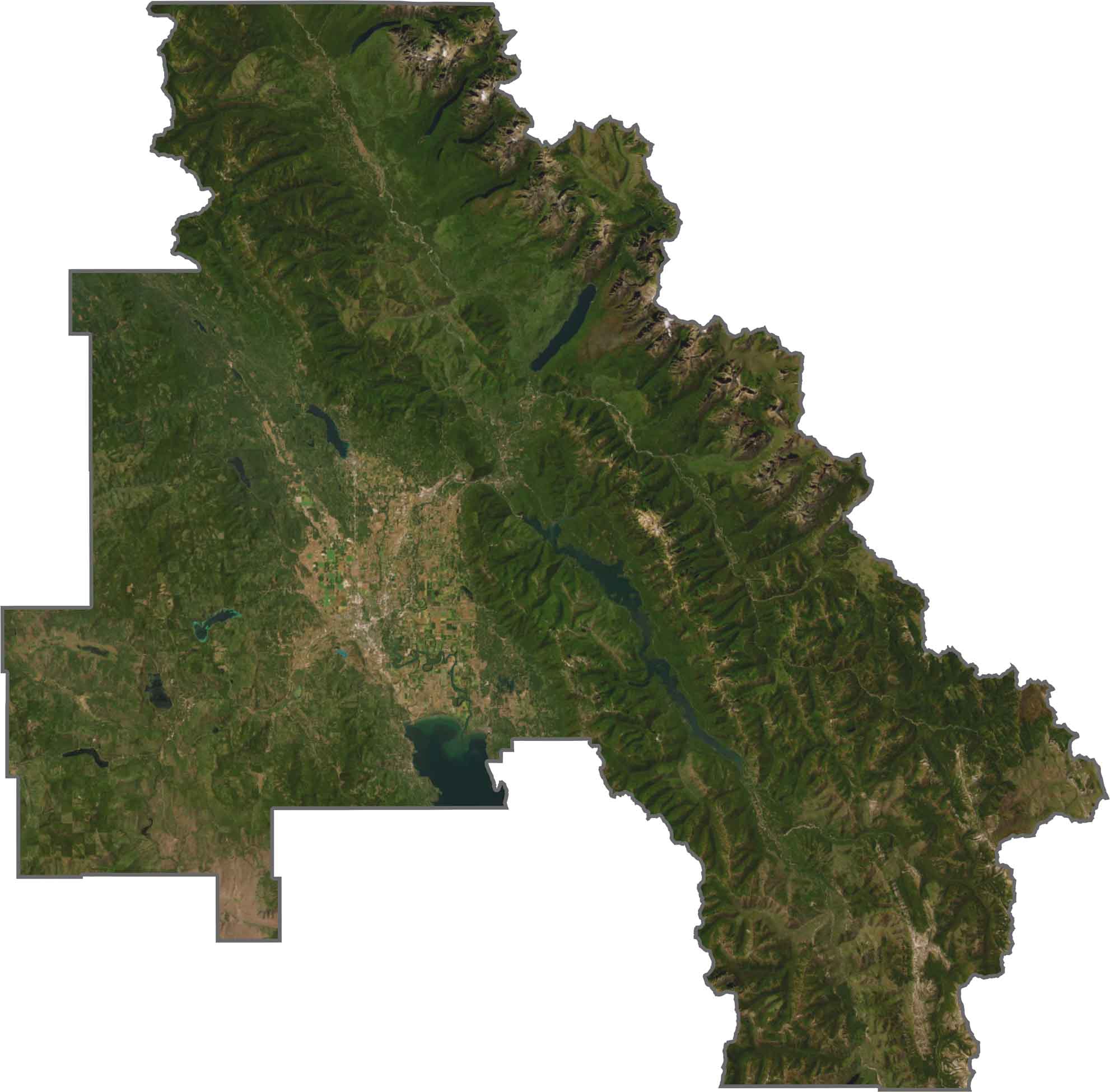
Flathead Lake stands out immediately. Although towns appear as bright patches, forests cover most of the landscape. Mountains cast dark shadows across the terrain. Try using our zoom tool below to explore our Flathead County satellite map.
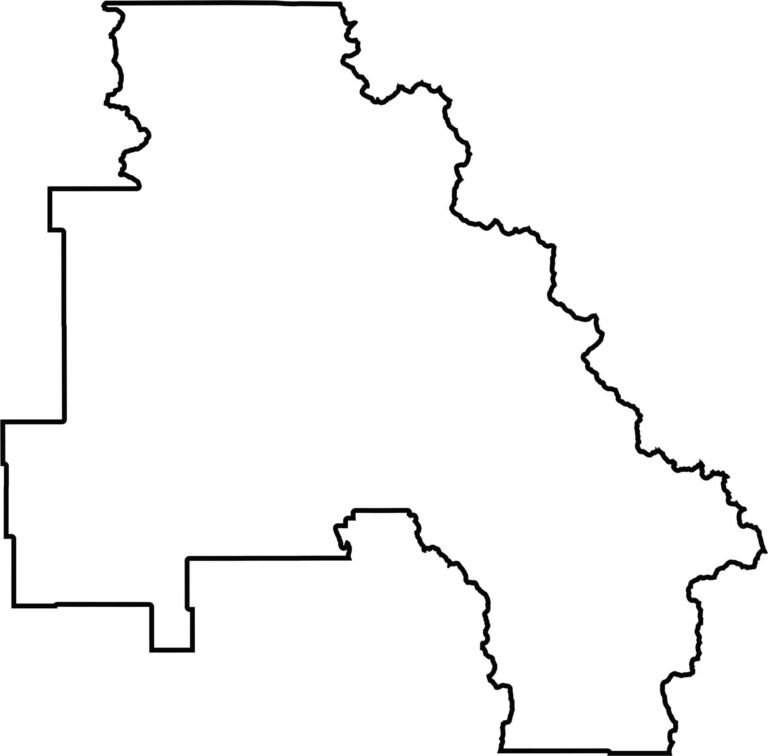
Flathead County has a rugged, irregular outline. It follows the Canadian border to the north, while the other sides twist and turn around lakes, parks, and peaks. No rivers form its borders.







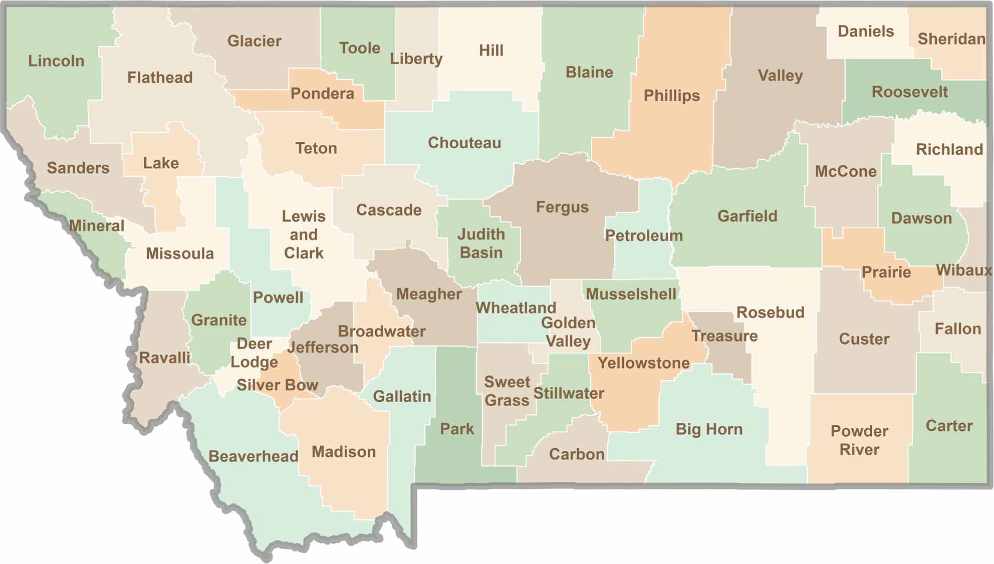
Big skies and wide-open adventures define Montana, where all 56 counties offer their own blend of rugged landscapes, scenic beauty, and Western character. From sweeping plains and mountain ranges to peaceful valleys and remote wilderness, Montana is filled with places to explore.