
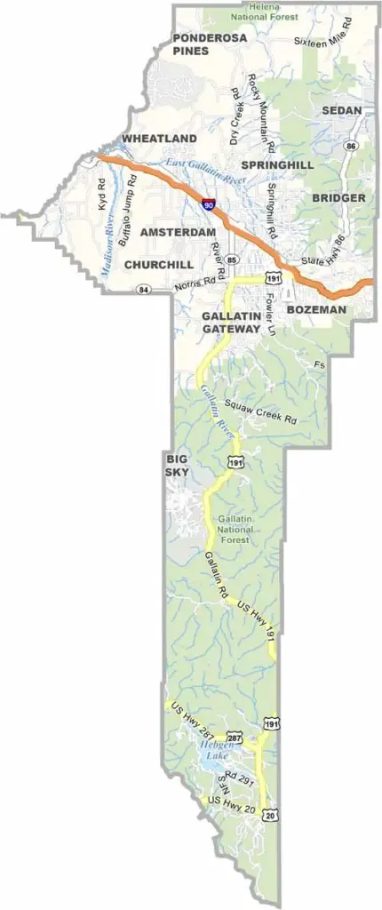
Gallatin County is a long, narrow county in southwestern Montana. It’s where cowboys mix with college students and tech entrepreneurs. Bozeman, the county seat, draws outdoor enthusiasts and ambitious startups alike. It has a unique vibe that’s hard to describe.
The Gallatin River runs through the county, offering some of the best fly fishing you could ask for. Seriously, it’s bucket-list material. Big Sky Resort is nearby, where powder hounds can enjoy world-class slopes. The Museum of the Rockies is also a must-visit, with an impressive collection of dinosaur fossils.
You might even run into a Hollywood star or two, as some have purchased ranches in the area. Yellowstone National Park is right next door, bringing geysers, hot springs, and bison jams into the mix. It’s a place where the Old West meets the new, and somehow, it all works.
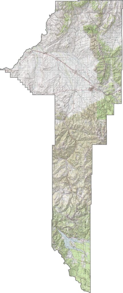
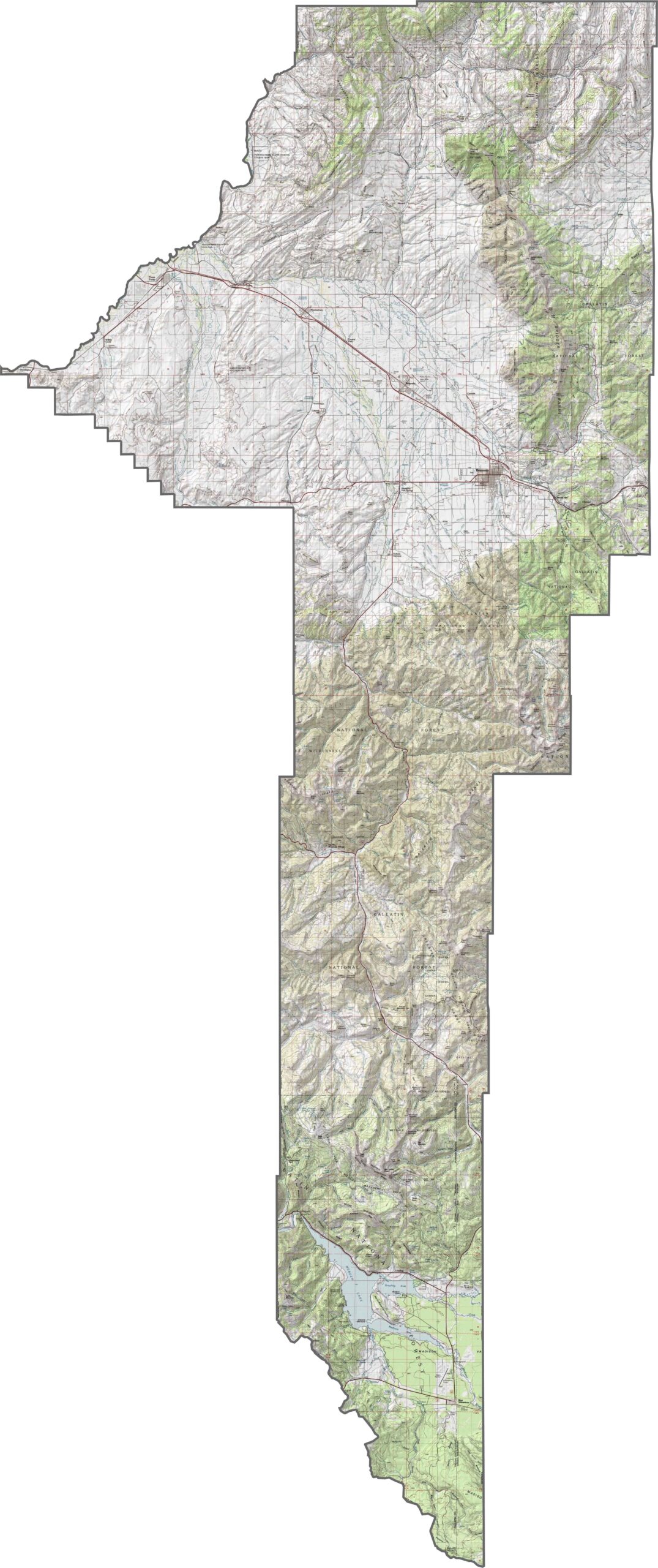
Gallatin County is shaped by deep valleys and towering peaks. Although Bozeman sits in a broad, flat basin, mountains rise quickly in every direction. Rivers crisscross the lower elevations. There are some flat areas, but the elevation changes quickly and often.
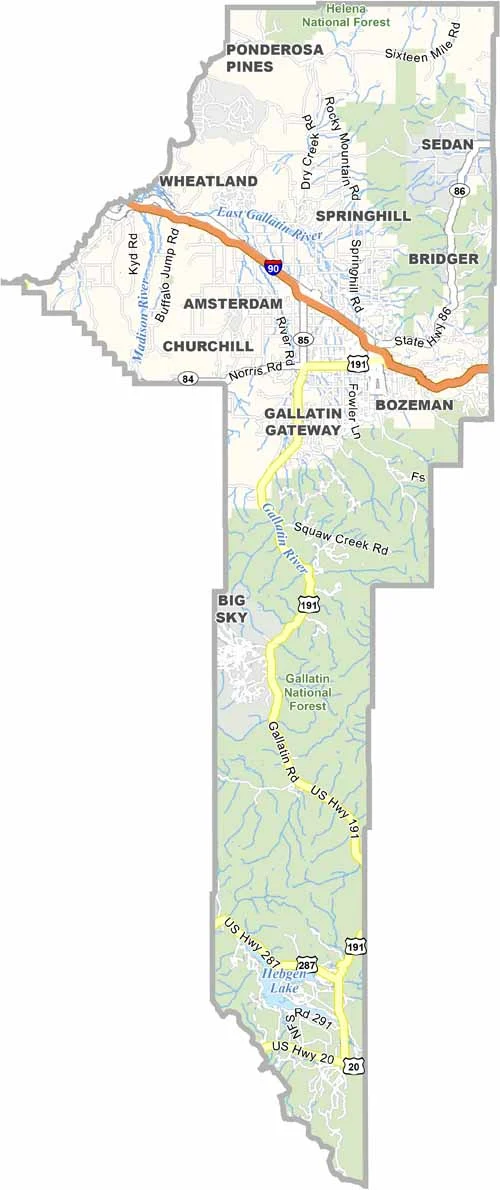
Some counties have highways by the handful. Gallatin has a few major ones that really matter. Interstate 90 cuts a clean path across the county, passing through Bozeman before continuing westward. Head south, though, and U.S. Highway 191 takes you deep into river valleys and even toward Yellowstone National Park.
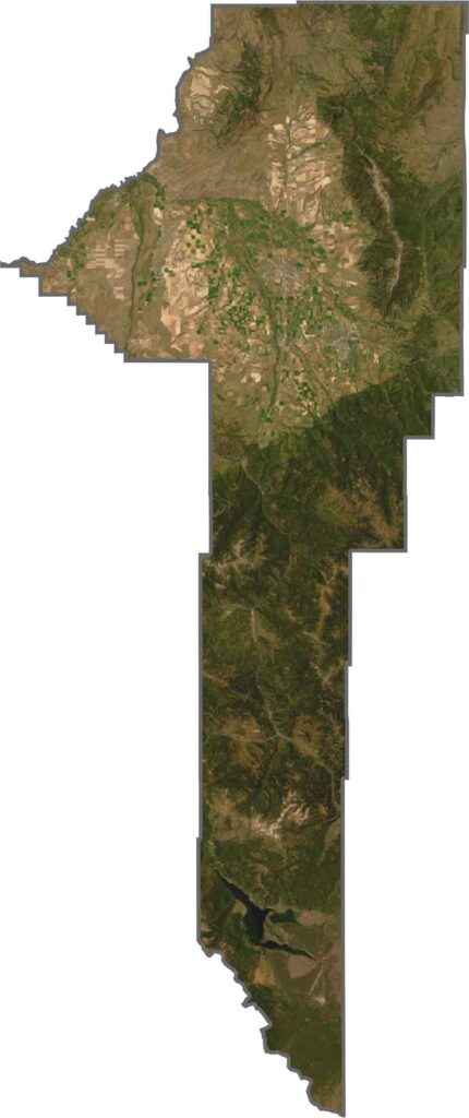
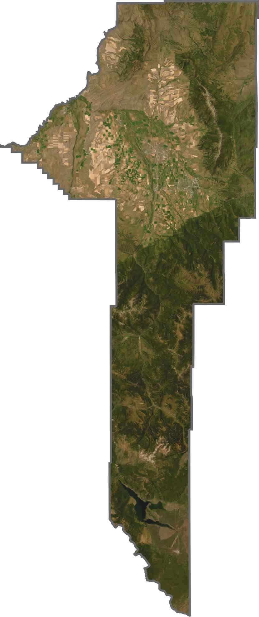
From our satellite map, Gallatin County looks mostly green, with Bozeman standing out. Farmland stretches westward, while mountains dominate the edges. Forested slopes, river valleys, and rocky ridgelines show a little bit of everything. Even Yellowstone’s outer wilderness reaches into the southern edge.
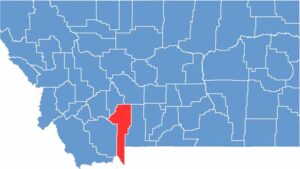
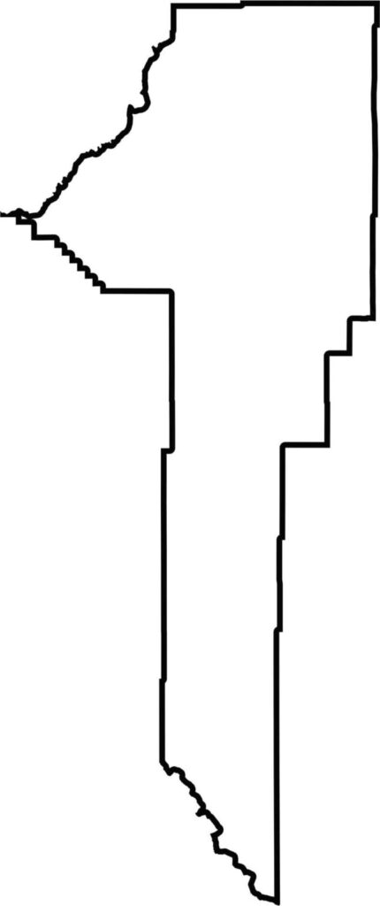
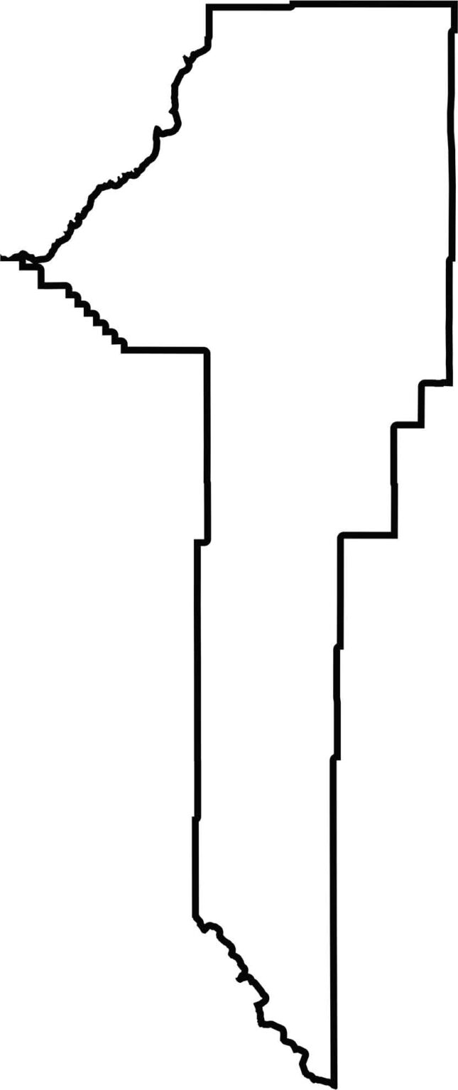
Gallatin County has an elongated north-south shape. It’s thick on top and thin on the bottom. The county also borders Wyoming directly to the south.






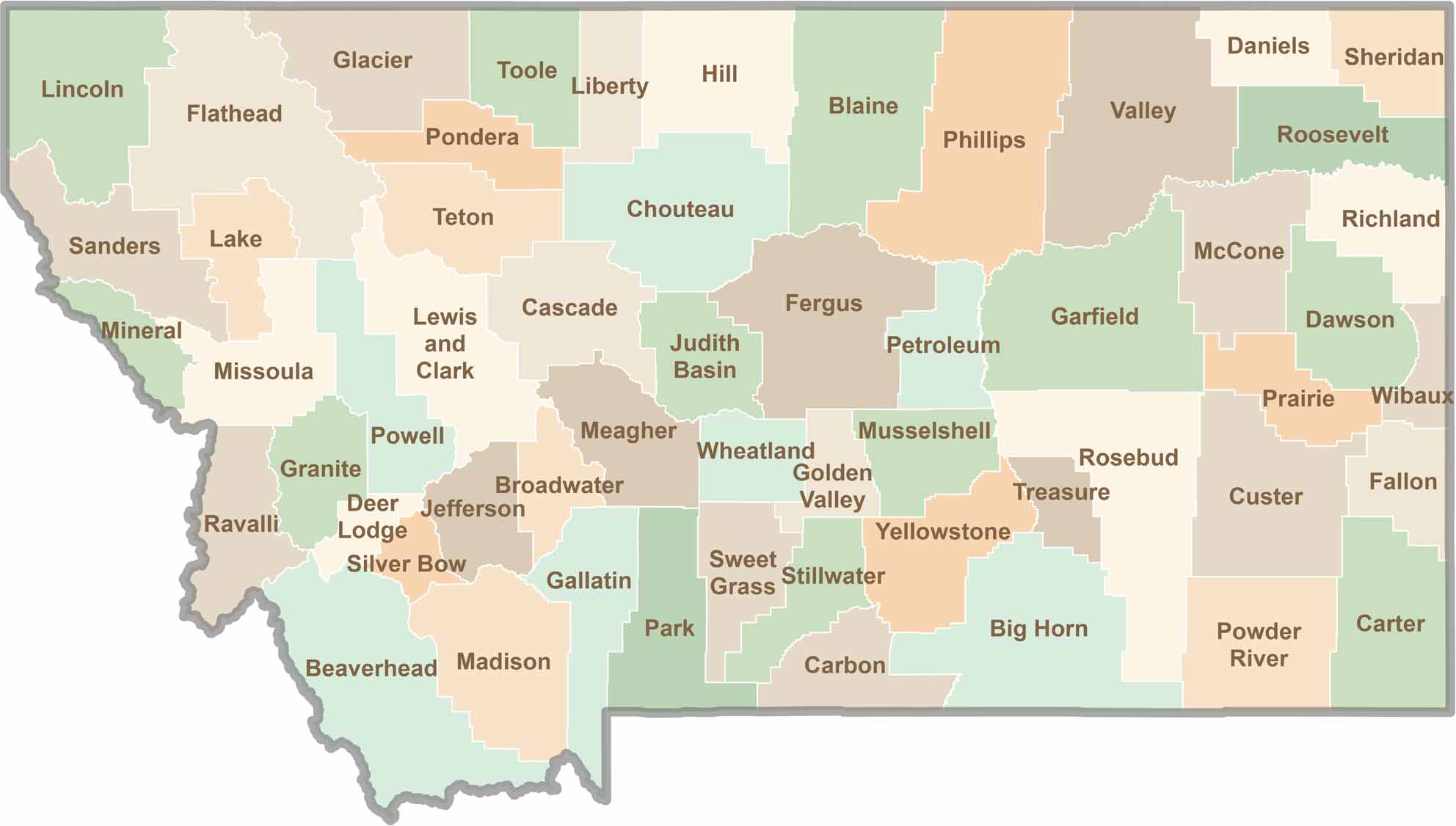
Big skies and wide-open adventures define Montana, where all 56 counties offer their own blend of rugged landscapes, scenic beauty, and Western character. From sweeping plains and mountain ranges to peaceful valleys and remote wilderness, Montana is filled with places to explore.