
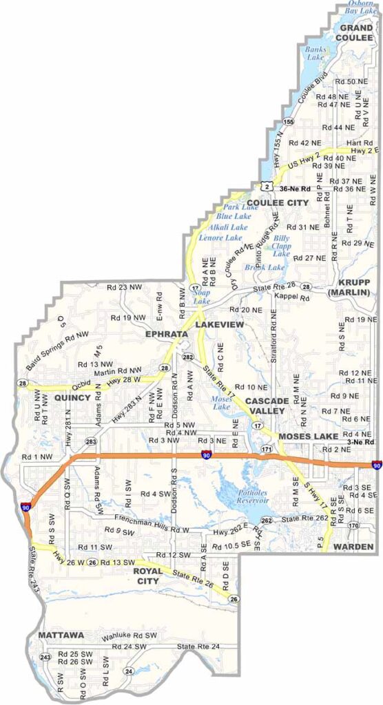
Grant County sprawls across central Washington, where massive irrigation projects have transformed what was once an arid region into an agricultural powerhouse. Endless crop fields stretch across the landscape alongside stark desert terrain, creating a surprisingly dramatic contrast.
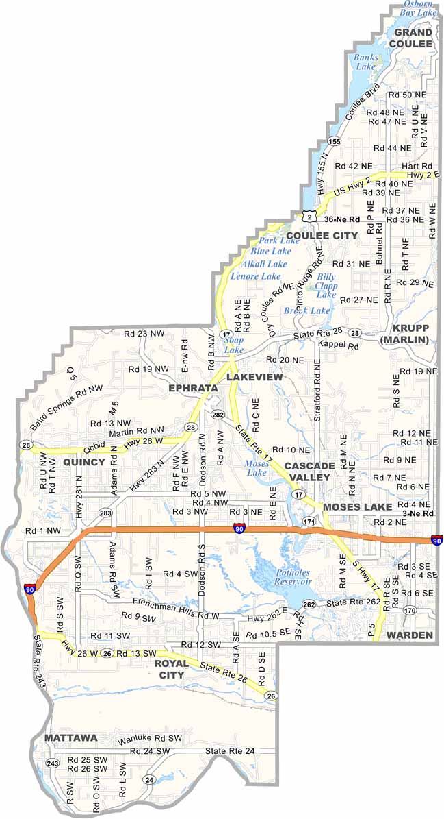
Moses Lake, the county’s largest city, serves as a hub for manufacturing and aerospace. The Columbia River runs along the western edge of the county, playing an important role in power generation, irrigation, and outdoor recreation.
The county is home to the Gorge Amphitheatre, a spectacular outdoor concert venue known for its incredible views. Near the northern end, Grand Coulee Dam stands as one of the region’s most impressive engineering landmarks. Grant County is truly a place of wide-open skies and enormous potential.
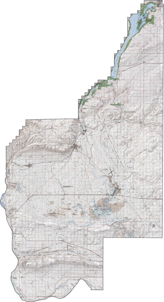
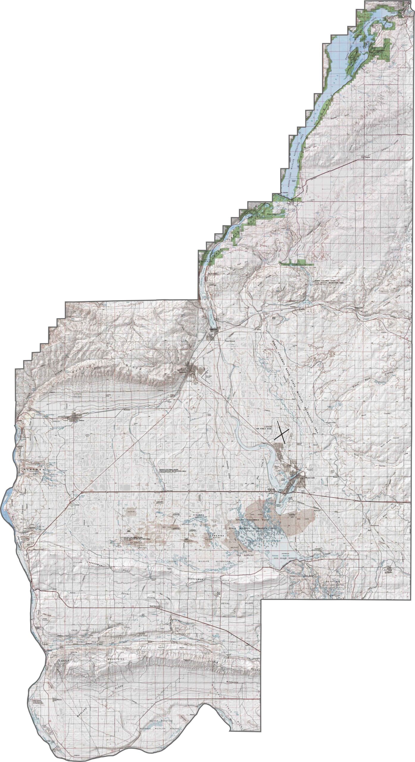
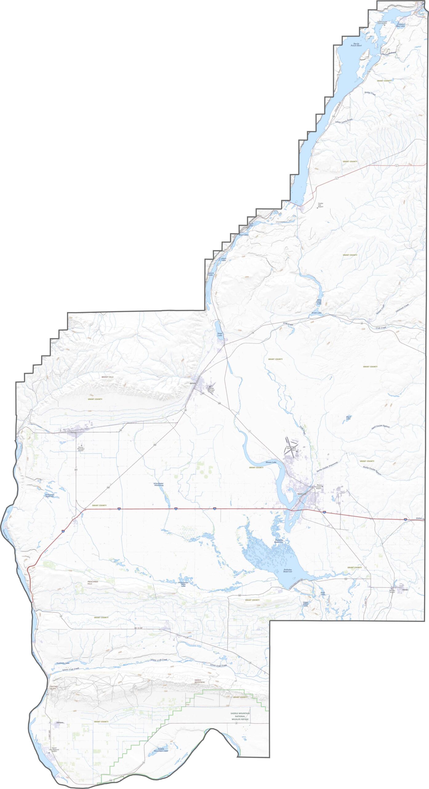
Grant County’s topography offers plenty of surprises, including parts of the Grand Coulee and the Saddle Mountains in the south. Much of the landscape is dry and relatively flat, but coulees, buttes, cliffs, and canyons add dramatic variation to the otherwise open terrain.
Major highways cut across the county’s farmland, with U.S. Route 2 and State Route 17 handling much of the local traffic. Interstate 90 also runs east-west through the central part of Grant County. Some roads become quite remote, particularly around the canyons, making the area worth exploring with our map zoom tool.
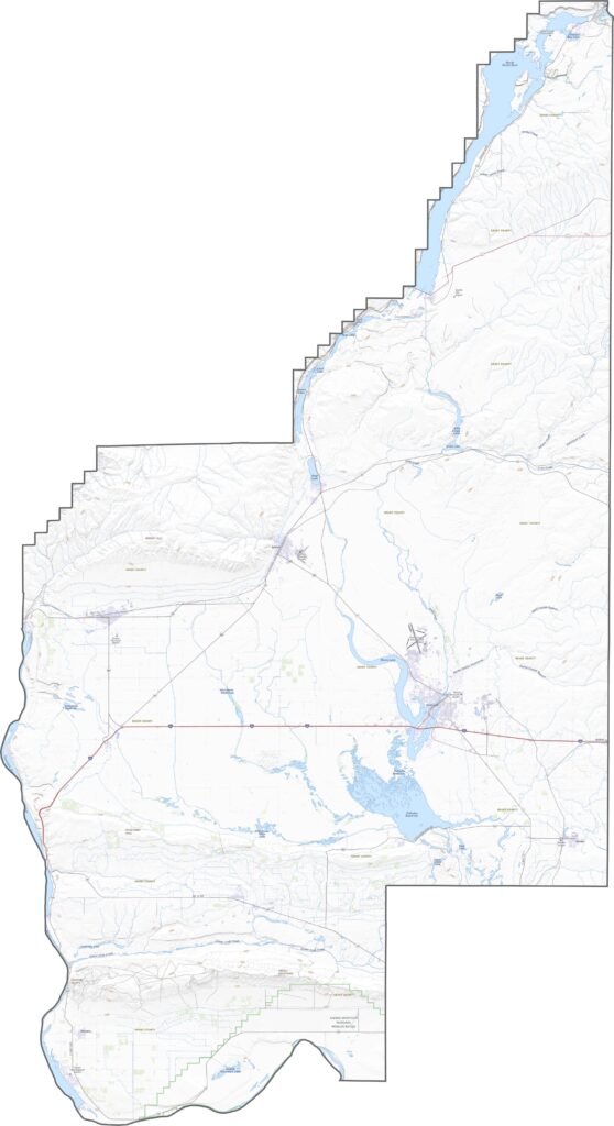
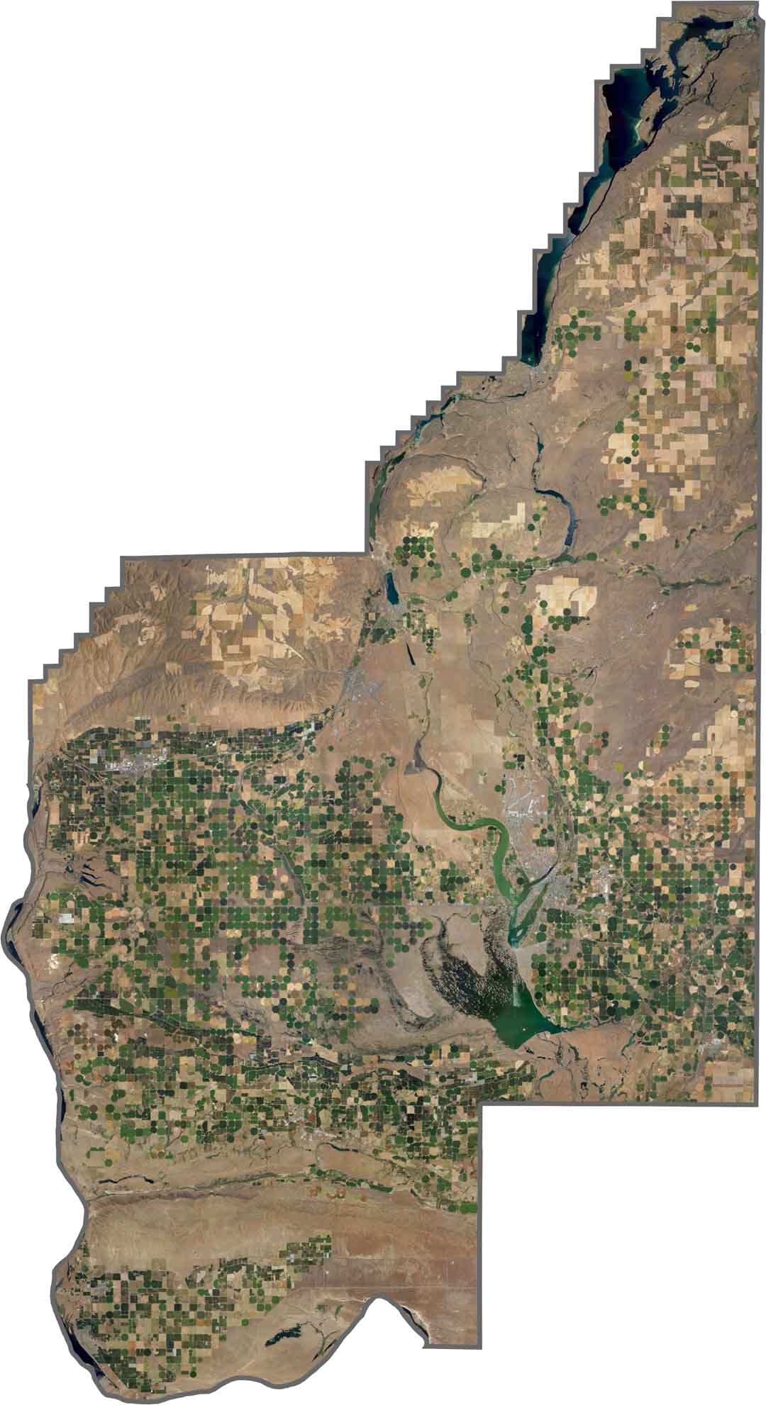
From above, Grant County looks like farmland arranged in geometric patterns, with circular crop fields, center-pivot irrigation, and checkerboard plots stretching for miles. Yet dramatic cliffs and canyons can appear suddenly, especially where the coulees cut through the surrounding plateau.
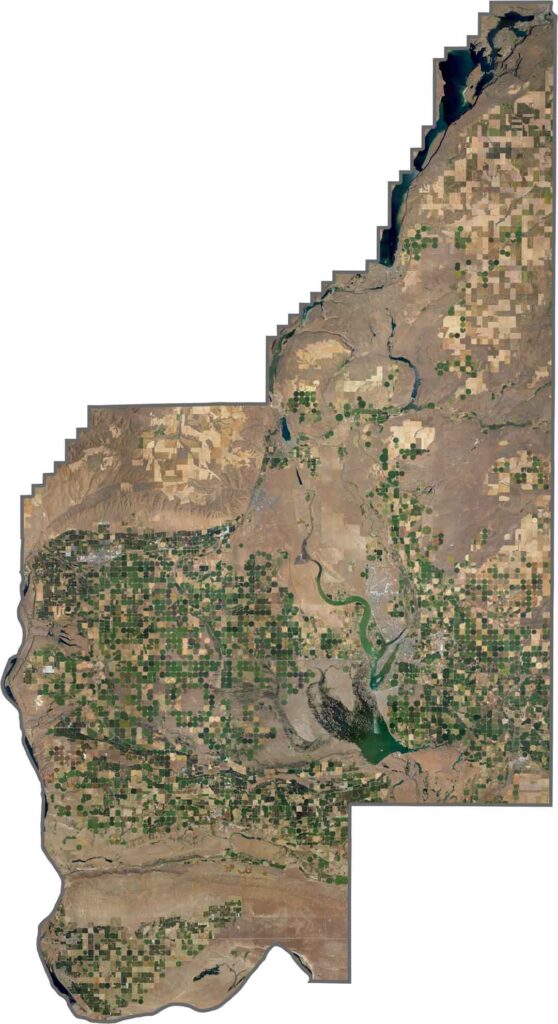
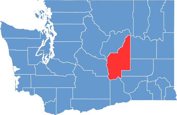
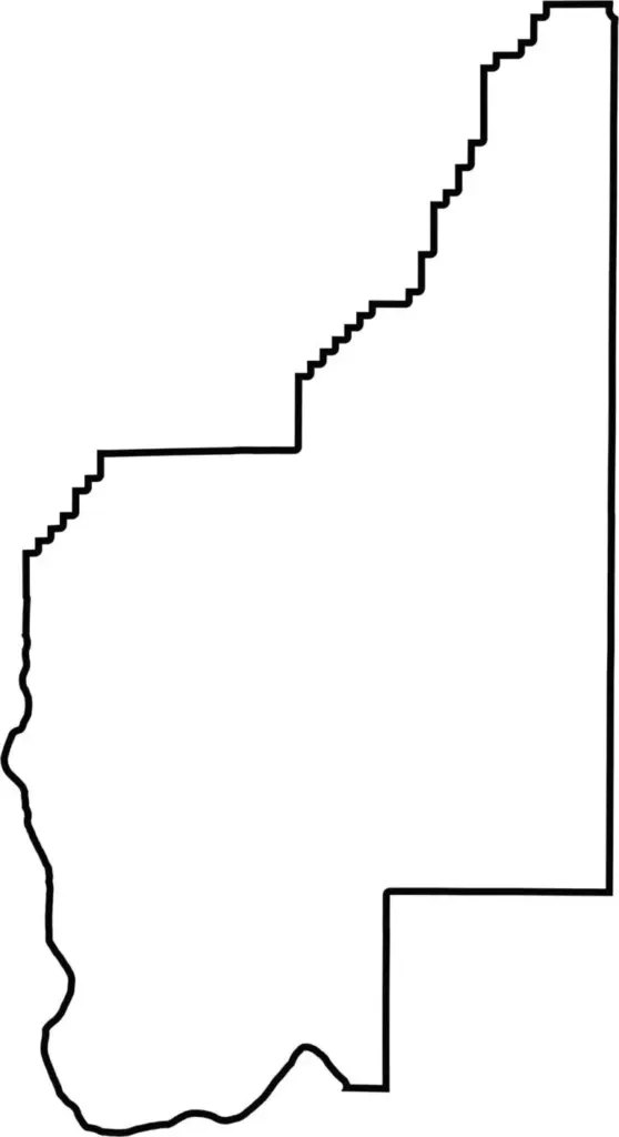
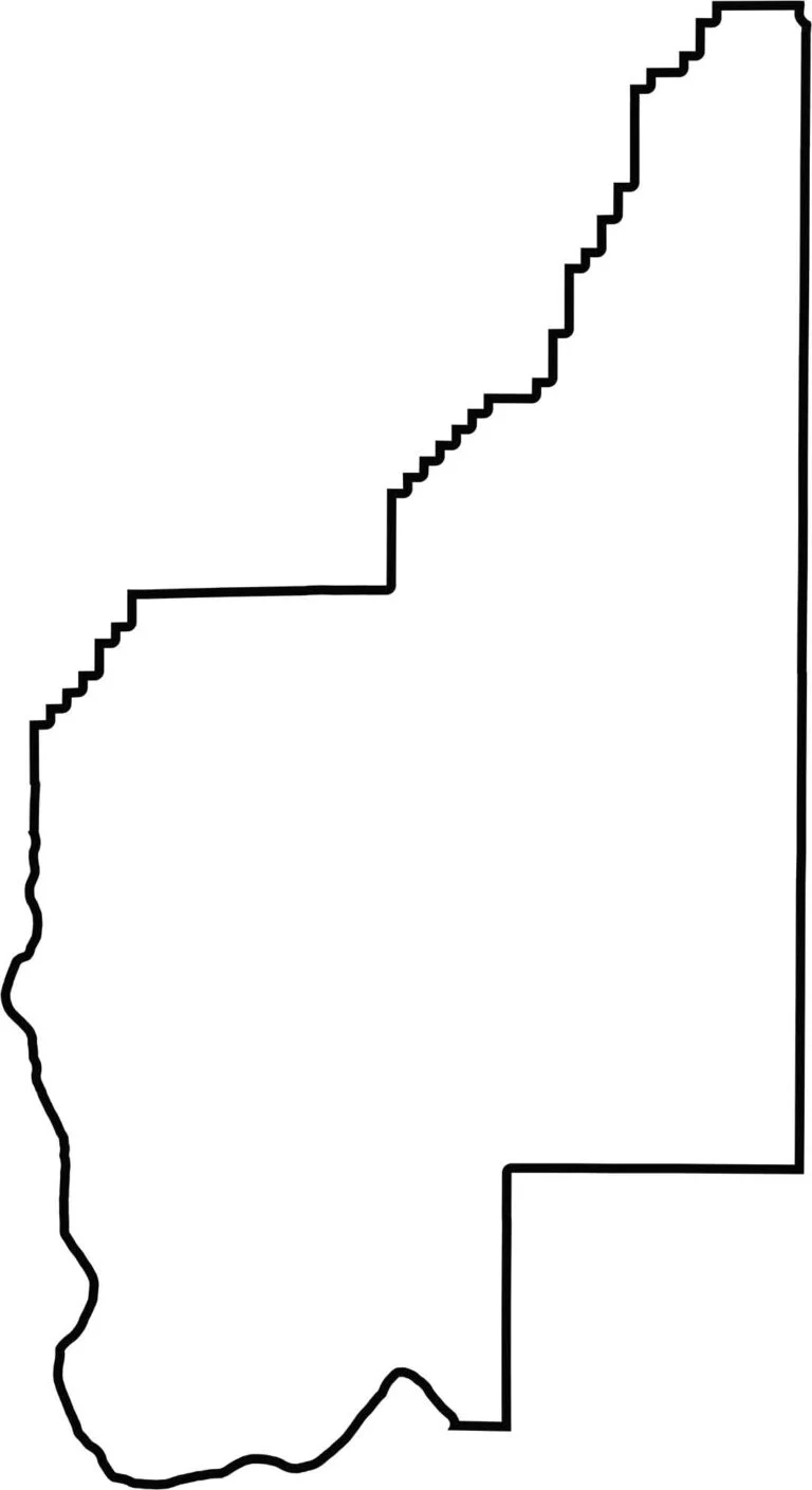
Grant County has a long, narrow shape running primarily north to south and sits near the center of Washington State. It does not border another state, while the Columbia River forms much of its southwestern boundary. Most of the remaining county lines are remarkably straight, giving the county a distinctive, almost ruler-drawn appearance.






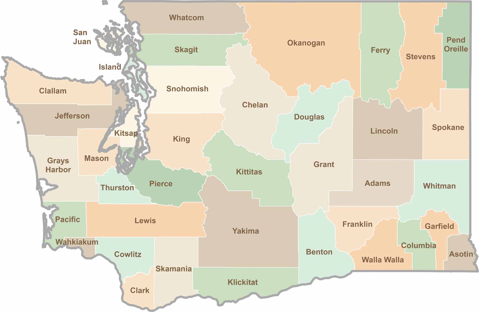
Seattle may get most of the attention, but the rest of Washington State is where the wild truly shines. From rugged Pacific coastlines and lush forests to towering mountain ranges, Washington’s 39 counties offer an incredible variety of landscapes, communities, and outdoor adventures. Explore them all and find your favorite place in Washington.