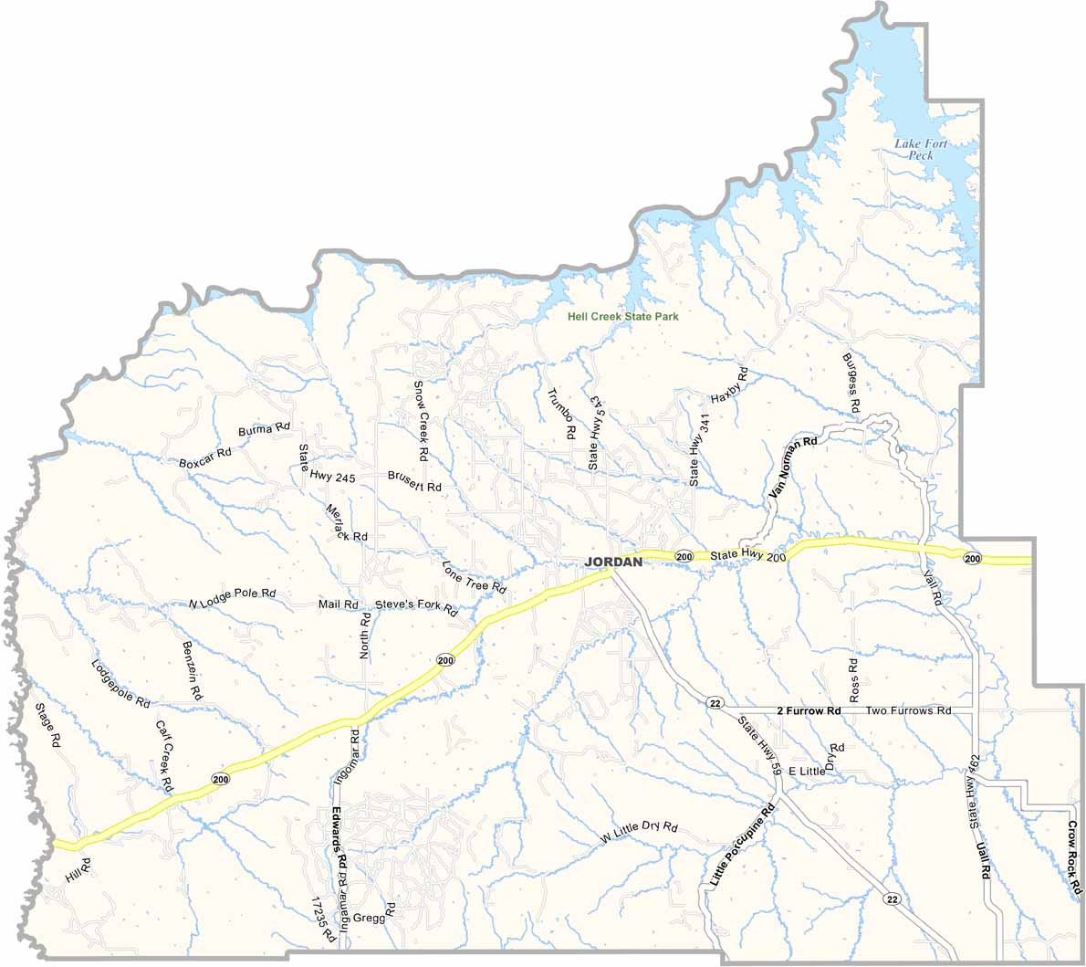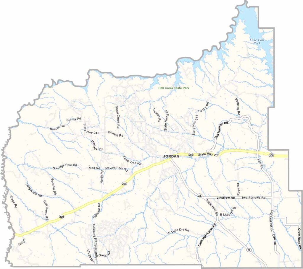
Garfield County, Montana

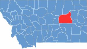
Garfield County sits across the vast eastern plains of Montana. This is where “wide-open spaces” takes on a whole new meaning. It’s big. Really big. We’re talking nearly 5,000 square miles with barely 1,200 people calling it home.

Jordan, the county seat, is the kind of town where everyone knows your name—and probably your business too. The Missouri River forms the county’s northern border and creates Fort Peck Lake in the northeast.

Ranching is king here, with cattle far outnumbering people. And locals wouldn’t have it any other way. The Hell Creek Formation draws paleontologists searching for T. rex fossils in the badlands. It may not be glamorous, but there’s a raw beauty to Garfield County that gets under your skin.

CategoryDetails
County NameGarfield County
County SeatJordan
EtymologyNamed after James A. Garfield, the 20th President of the United States
Cities, Towns, and CommunitiesJordan, Brusett, Cohagen
Interstates and HighwaysMT 200, MT 59
FIPS Code30-033
Total Area (Land and Water)4,847 square miles (Land: 4,675 sq mi, Water: 172 sq mi)
Adjacent Counties (and Direction)Phillips County (Northwest), Valley County (North), McCone County (East), Prairie County (East), Custer County (Southeast), Rosebud County (South), Petroleum County (West)
Time ZoneMountain Time Zone (MT)
StateMontana
Coordinates47.3477° N, 106.9989° W
Major LandmarksFort Peck Lake, Hell Creek State Park, Charles M. Russell National Wildlife Refuge
PopulationApproximately 1,200
Scroll to Top