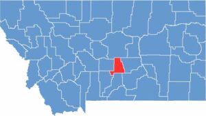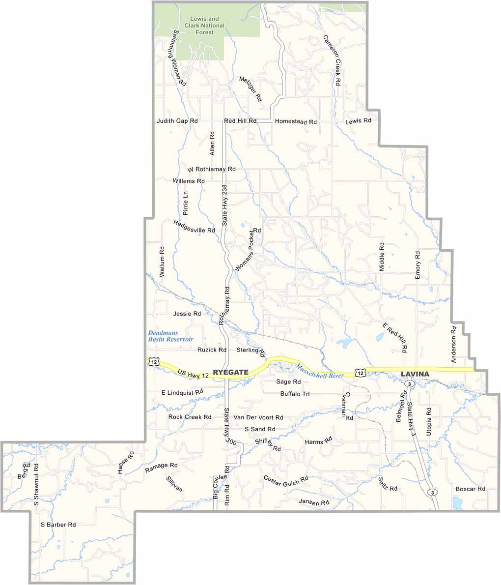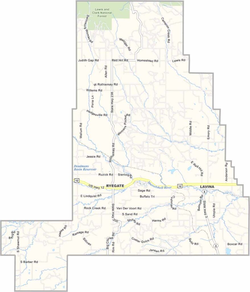
Golden Valley County is about as off-the-beaten-path as you can get. Located in central Montana, it’s the third-least populous county in the state. Ryegate serves as the county seat and sits along Highway 12.
The Musselshell River winds through the county, but agriculture is the name of the game here, with plenty of wheat fields and cattle ranches. In fact, the county gets its name from its golden wheat fields.
But those big Montana skies make it all worthwhile. The Bull Mountains in the southern part of the county offer a nice change of scenery from the prairies. It’s quiet out here. Really quiet. If you’re looking for a slice of authentic rural America, Golden Valley County might just be your golden ticket.