
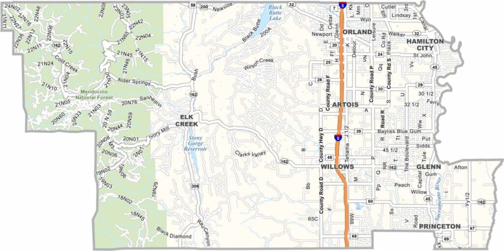
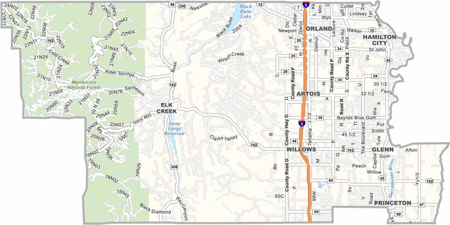
Glenn County is located in California’s northern Sacramento Valley, where agriculture dominates the landscape. The Sacramento River forms much of the eastern boundary, while the Coast Ranges rise to the west, creating a scenic backdrop for this quiet rural region.
Willows serves as the county seat and largest community, known for its relaxed, small-town atmosphere. Interstate 5 runs through the county, providing an important transportation link while leaving much of the surrounding area relatively rural.
Birdwatching is another popular activity, especially at the Sacramento National Wildlife Refuge in the southern part of the county. The refuge provides important habitat for millions of migrating geese, ducks, and other waterfowl each year. With its farmland, river landscapes, and nearby mountains, Glenn County offers a peaceful slice of Northern California.
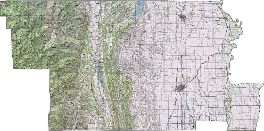
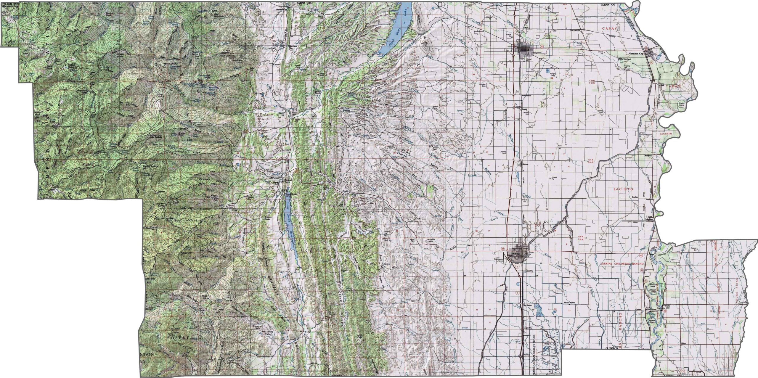
This topographic map highlights Glenn County’s transition from the flat Sacramento Valley floor to the rugged foothills of the Coast Range. The detailed contours reveal the predominantly level terrain in the east and increasingly varied elevations toward the west.
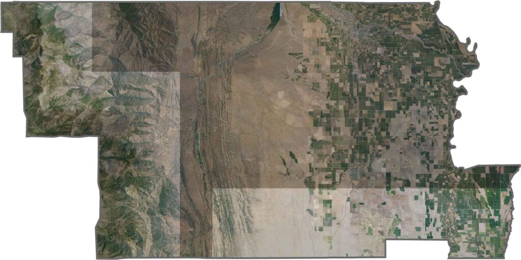
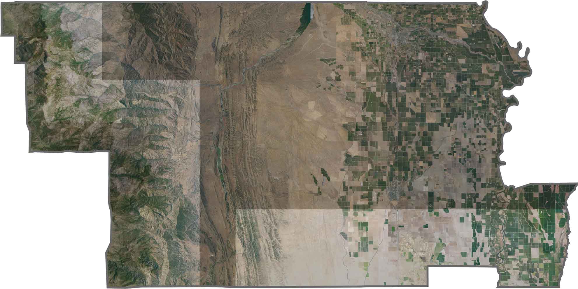
This satellite map shows the precise agricultural patterns across Glenn County. Orchards and field crops form a distinctive patchwork across the Sacramento Valley, with clearly defined fields and visible irrigation networks.
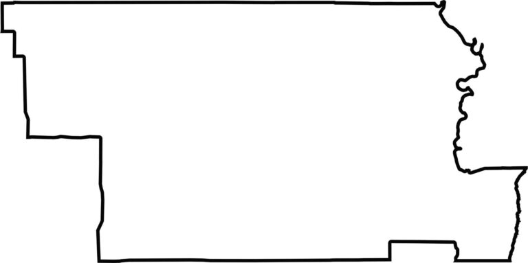
This blank map outlines Glenn County’s rectangular shape in the northern Sacramento Valley. The simple design emphasizes its position between the Coast Range to the west and the Sacramento River along the eastern side.








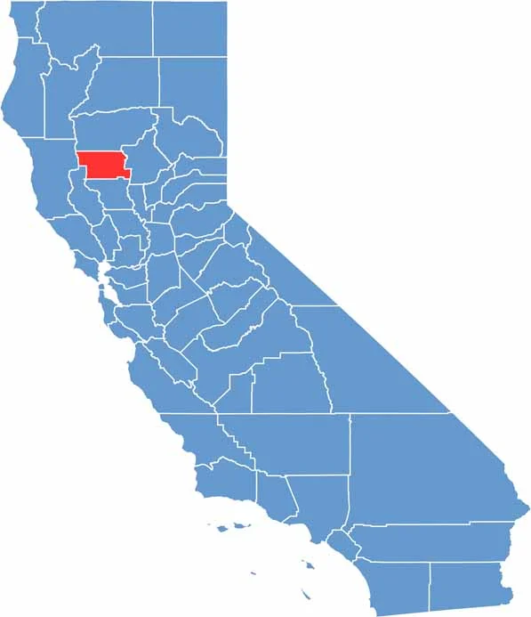
Ever wonder how California’s 58 counties are organized? Our California county map lays them all out, from the Pacific Coast to the vast desert regions. Explore the map to find the counties you know—and perhaps discover a few you don’t.