
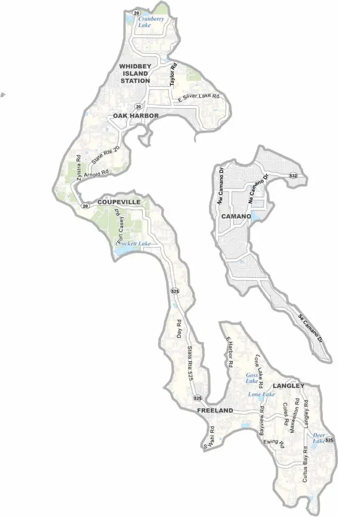
Island County sits in the heart of Puget Sound, north of Seattle. Whidbey and Camano Islands make up most of the county, with Coupeville on Whidbey Island serving as the county seat. It’s also one of the oldest towns in Washington.
The vibe here is laid-back and artsy. You’ll find charming coastal towns, historic sites, and plenty of beaches, each with its own appeal.
Whidbey Island Naval Air Station is a major presence, and the roar of jets is simply part of daily life. But so is the quiet of nature preserves and state parks. Deception Pass Bridge is a must-see, with impressive engineering and killer views. Whale watching is also a popular activity around the islands.
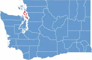
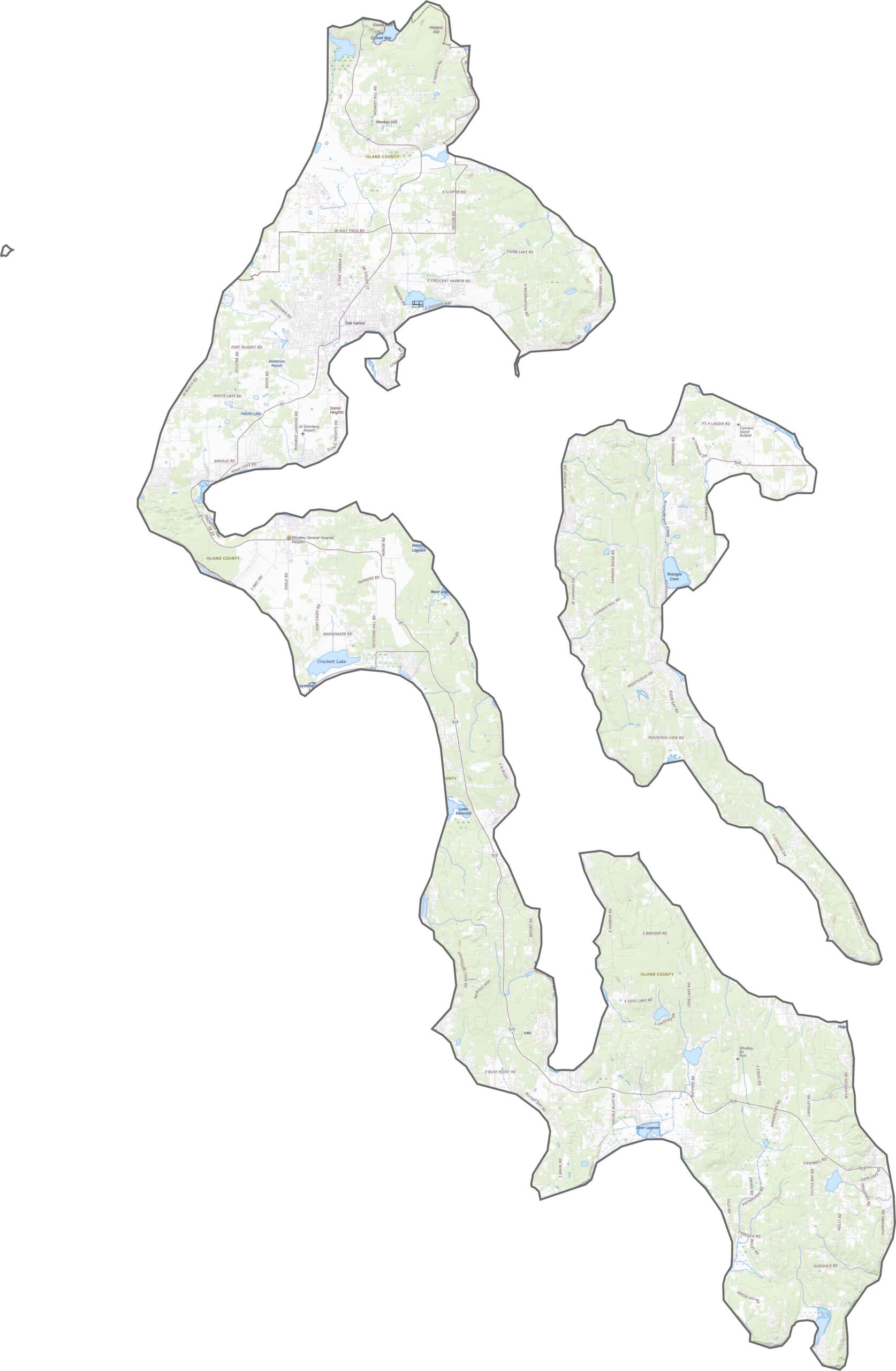
Island County lives up to its name. It’s surrounded by saltwater and spans two main islands: Whidbey and Camano. Although the elevation isn’t extreme, you’ll find forested hills, coastal bluffs, and long beaches winding along Puget Sound.
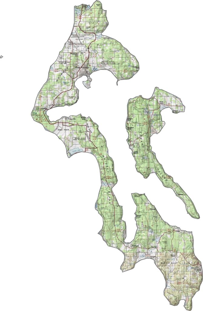
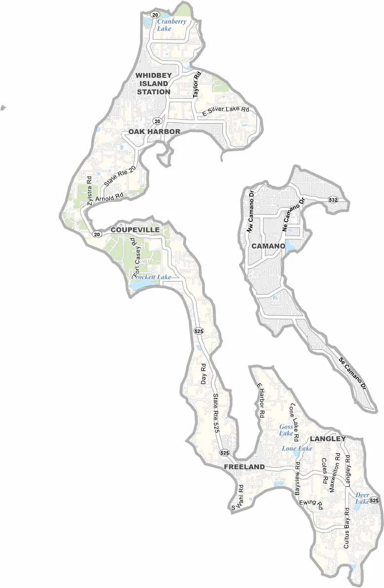
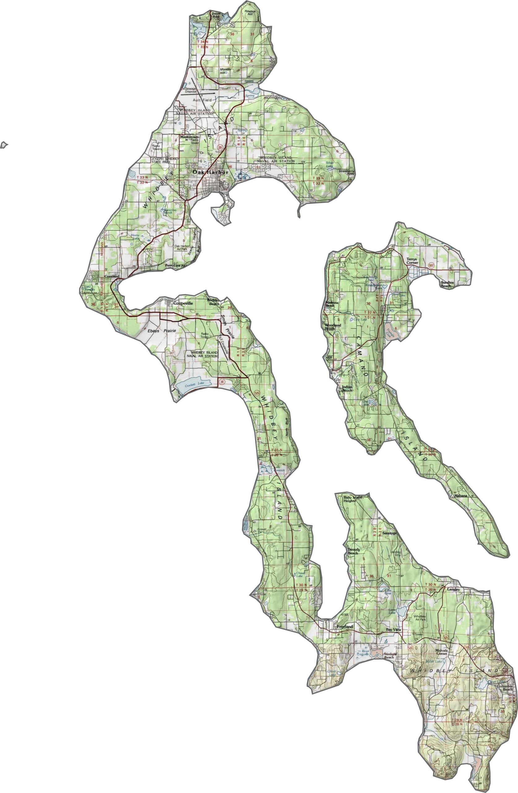
Island County has no interstates, but State Route 20 runs the length of Whidbey Island. The road curves quite a bit, but it’s the primary route through the county. Camano connects to the mainland by bridge, while Whidbey also relies on ferries for access.
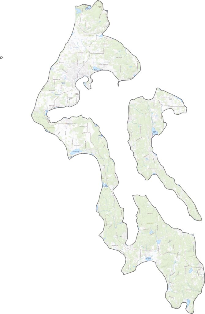
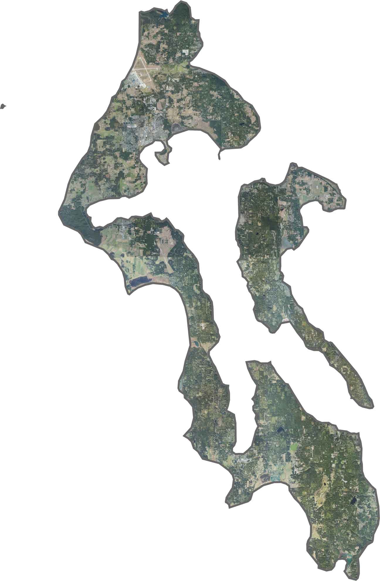
The islands stand out clearly, looking green, wooded, and shaped like puzzle pieces. Some towns sit along the shoreline, while much of the land is covered in trees. You’ll also notice long, curving coastlines and inlets reaching inland.
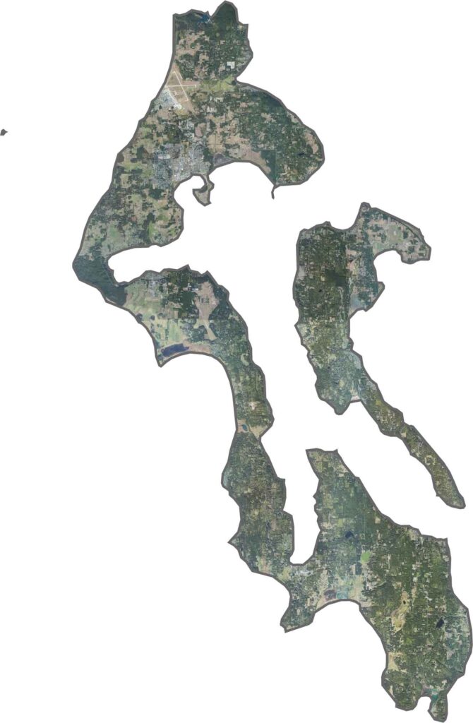
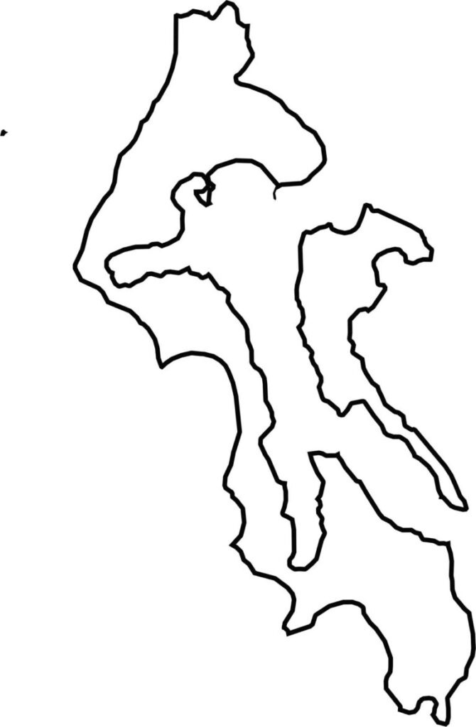
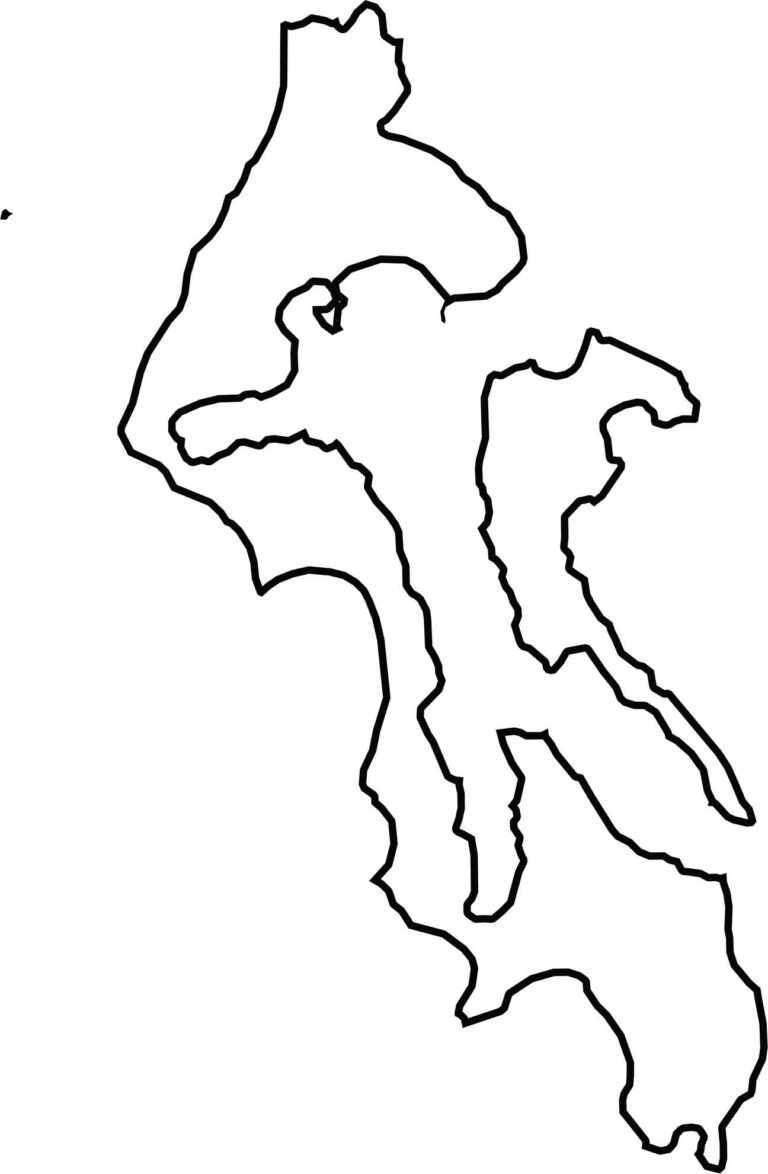
This county isn’t just one shape—it’s two. Whidbey Island is long and narrow, stretching from the Olympic Peninsula toward the mainland, while Camano is shorter and closer to the coast. The entire county is surrounded by Puget Sound, and none of it borders another state.






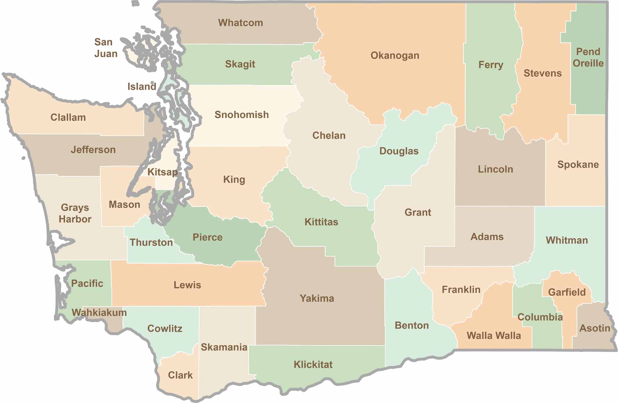
Seattle may get most of the attention, but the rest of Washington State is where the wild truly shines. From rugged Pacific coastlines and lush forests to towering mountain ranges, Washington’s 39 counties offer an incredible variety of landscapes, communities, and outdoor adventures. Explore them all and find your favorite place in Washington.