
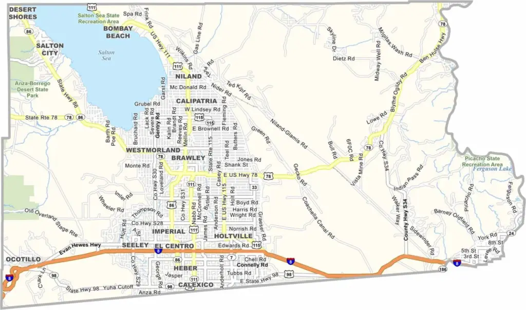
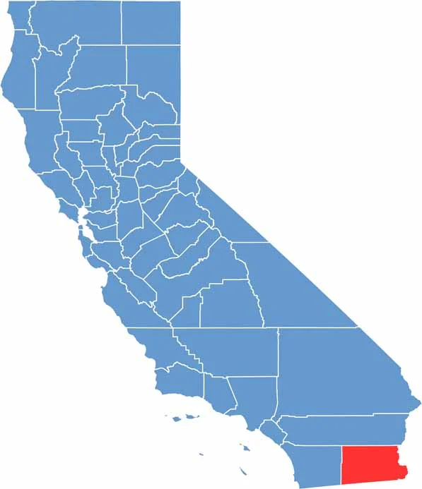
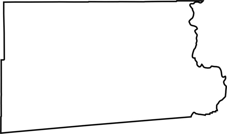
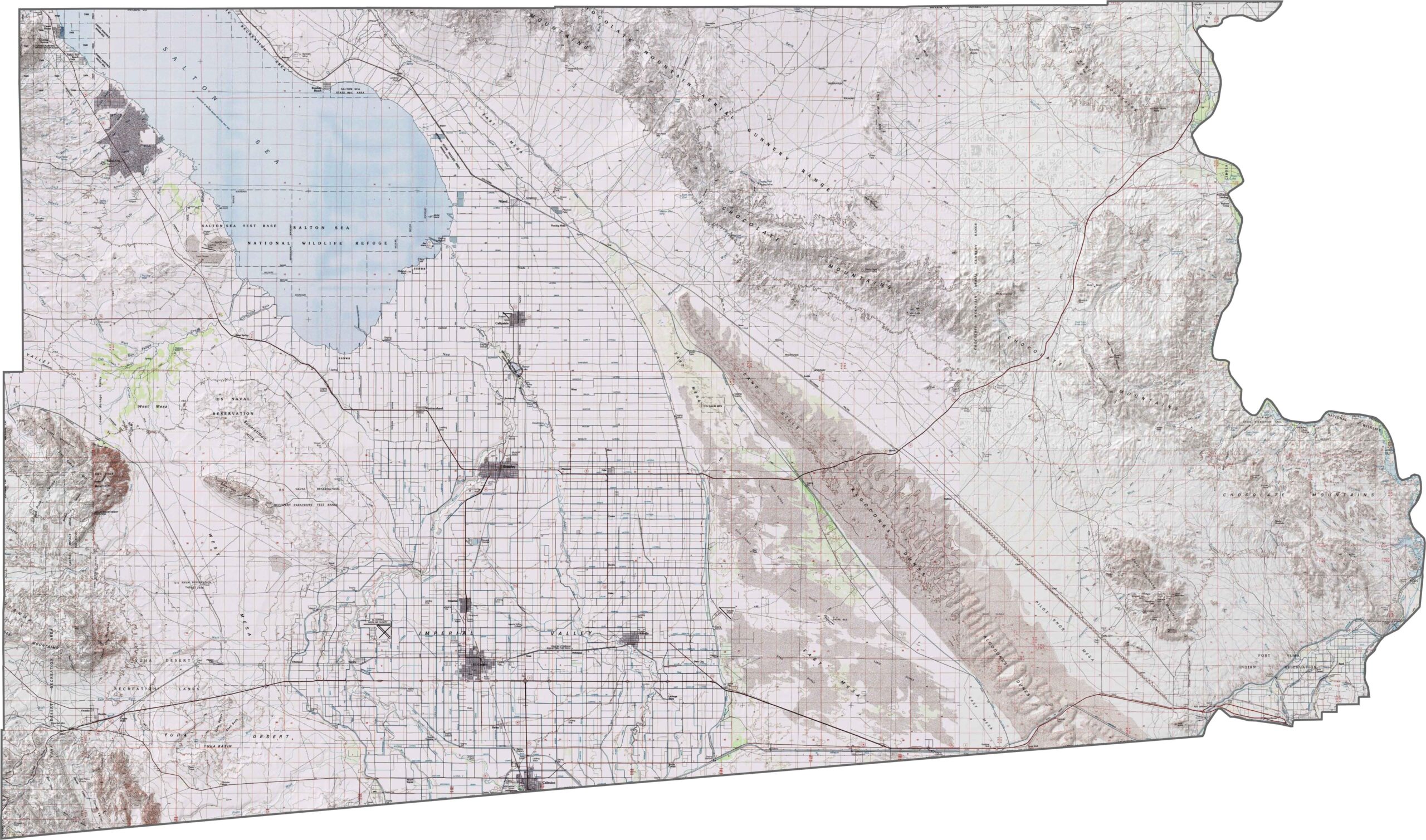
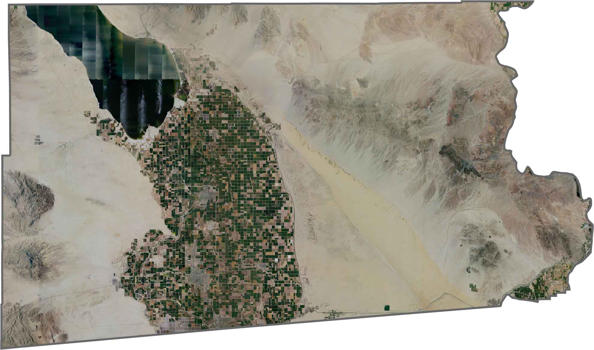
Imperial County sits in the southeastern corner of California, near the Mexican border and the Colorado River. Much of the county is covered by desert, making it one of the hottest and driest regions in the state.
The Salton Sea, California’s largest inland lake by surface area, is one of the county’s most distinctive features. Although the lake has faced serious environmental challenges, its wetlands remain important habitat for migratory birds and other wildlife.
With a population of just over 195,000, Imperial County is relatively spread out. The Imperial Sand Dunes are a major attraction for off-road enthusiasts, while the surrounding desert offers striking scenery and wide-open spaces. Hot, dry, and rugged, Imperial County has a landscape unlike anywhere else in California.
This topographic map highlights Inyo County’s extraordinary elevation range, from the depths of Death Valley to the high peaks of the Sierra Nevada. The detailed contours reveal why this is one of the most dramatic landscapes in the United States, with some of the greatest elevation differences in the contiguous country.
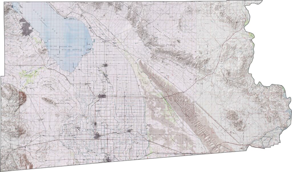
This topographic map highlights Inyo County’s extraordinary elevation range, from the depths of Death Valley to the high peaks of the Sierra Nevada. The detailed contours reveal why this is one of the most dramatic landscapes in the United States, with some of the greatest elevation differences in the contiguous country.
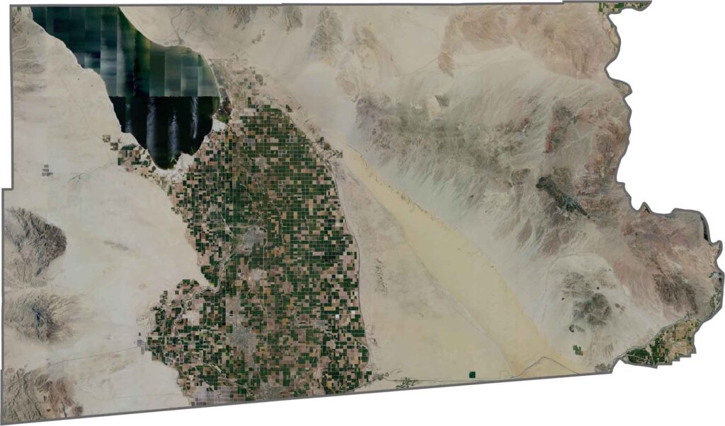
This topographic map highlights Inyo County’s extraordinary elevation range, from the depths of Death Valley to the high peaks of the Sierra Nevada. The detailed contours reveal why this is one of the most dramatic landscapes in the United States, with some of the greatest elevation differences in the contiguous country.








Ever wonder how California’s 58 counties are organized? Our California county map lays them all out, from the Pacific Coast to the vast desert regions. Explore the map to find the counties you know—and perhaps discover a few you don’t.