
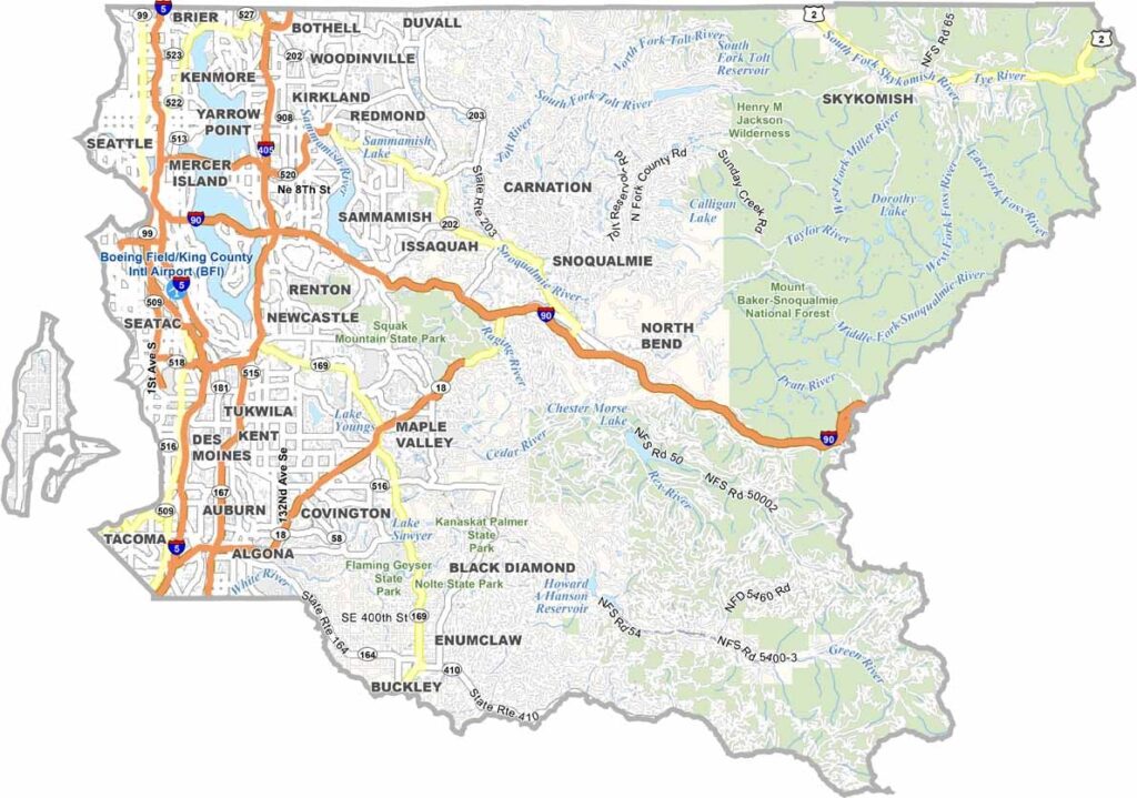
The heart of the Puget Sound region beats in King County. Seattle, the state’s largest city, dominates the area, while tech hubs like Bellevue and Redmond sit to the east. Microsoft also calls this region home.
Head farther east and the landscape changes dramatically. The Cascade Mountains rise up, offering endless opportunities for outdoor adventure. The county is named after William R. King, though most folks probably don’t know that.
What they do know is that King County is booming. It’s the most populous county in Washington, packed with coffee shops, craft breweries, and cutting-edge companies. Yet even with all that growth, you can still find pockets of quiet if you know where to look.
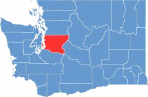
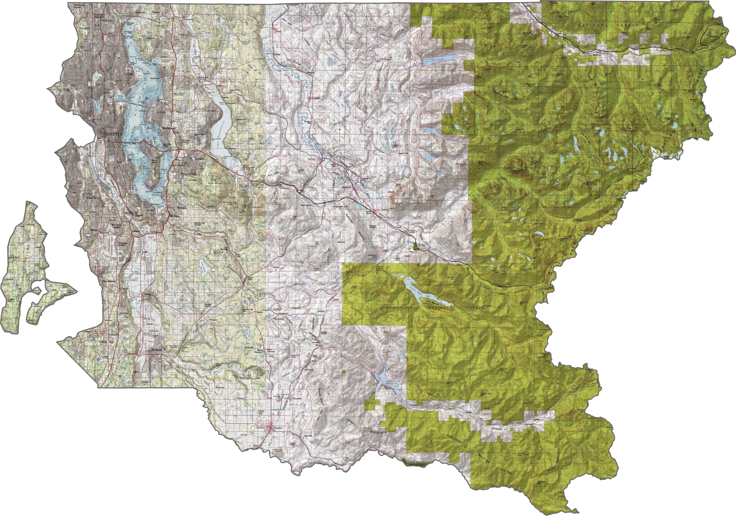
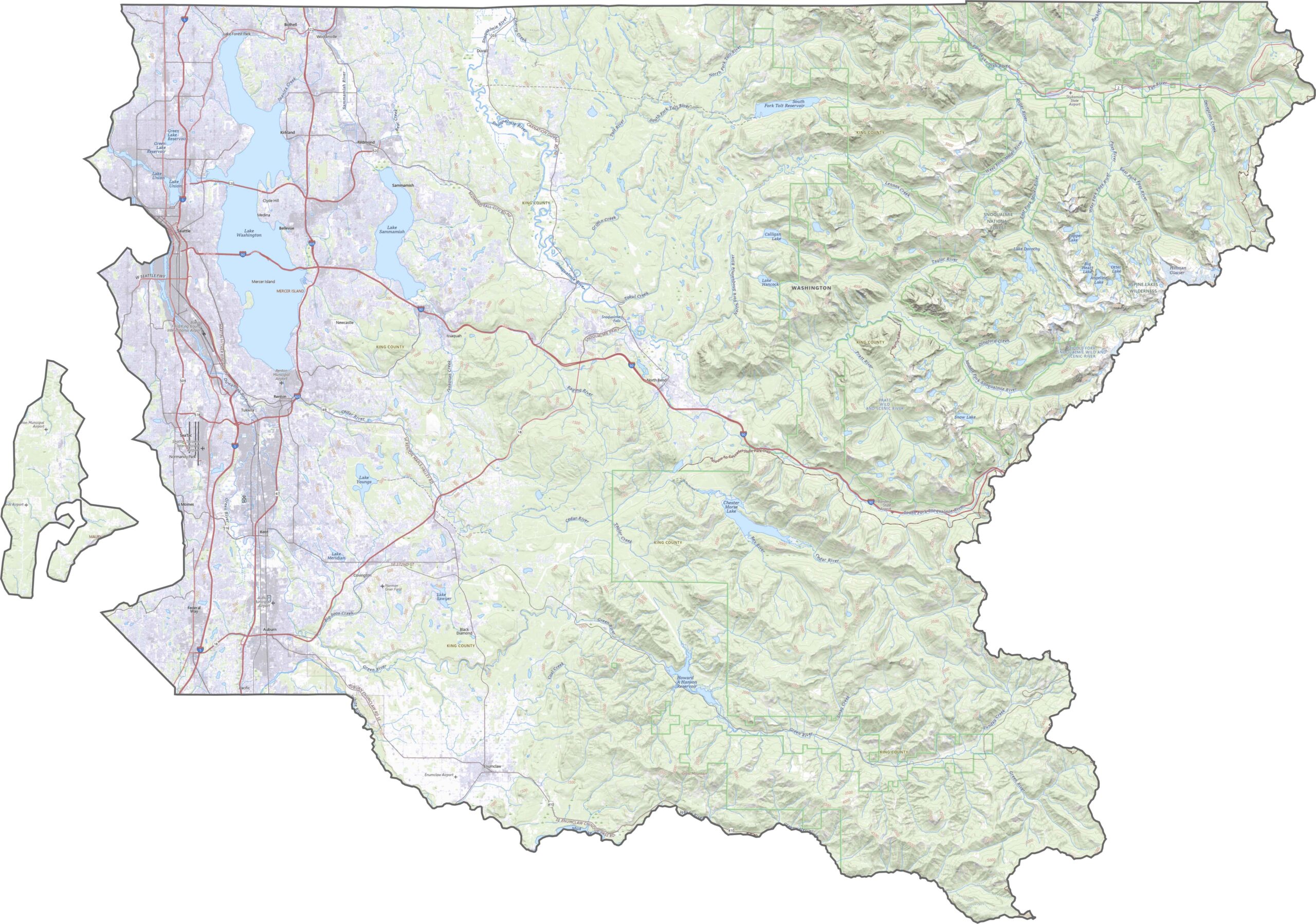
King County covers everything from sea-level Puget Sound to snow-covered peaks. Mount Rainier rises in the southeast, dominating the skyline even when it’s miles away. Between the saltwater, rivers, and mountains, the terrain never stays the same for long.
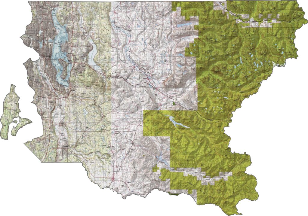
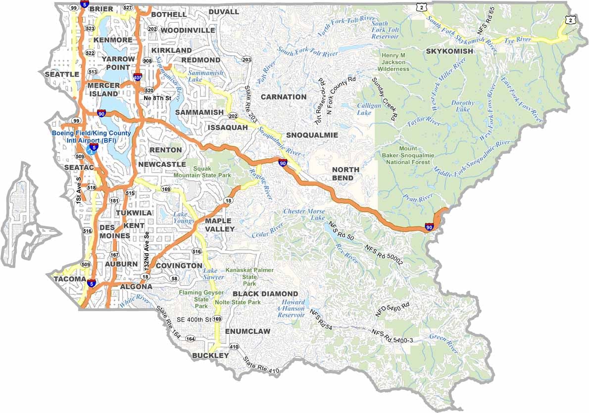
Interstates 5, 90, and 405 all pass through King County. I-5 serves as the main north-south spine, while I-90 cuts across the Cascades to the east. But traffic isn’t limited to interstates. There’s an entire maze of state routes and expressways. You can follow them all with our zoom tool and see exactly how Seattle connects to the surrounding areas.
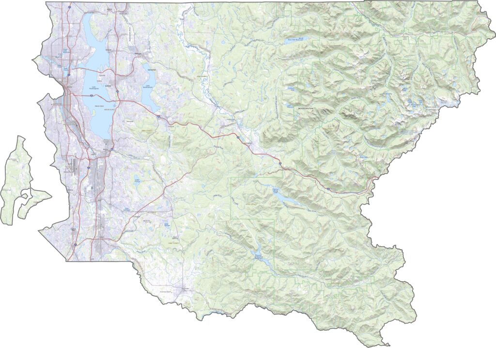
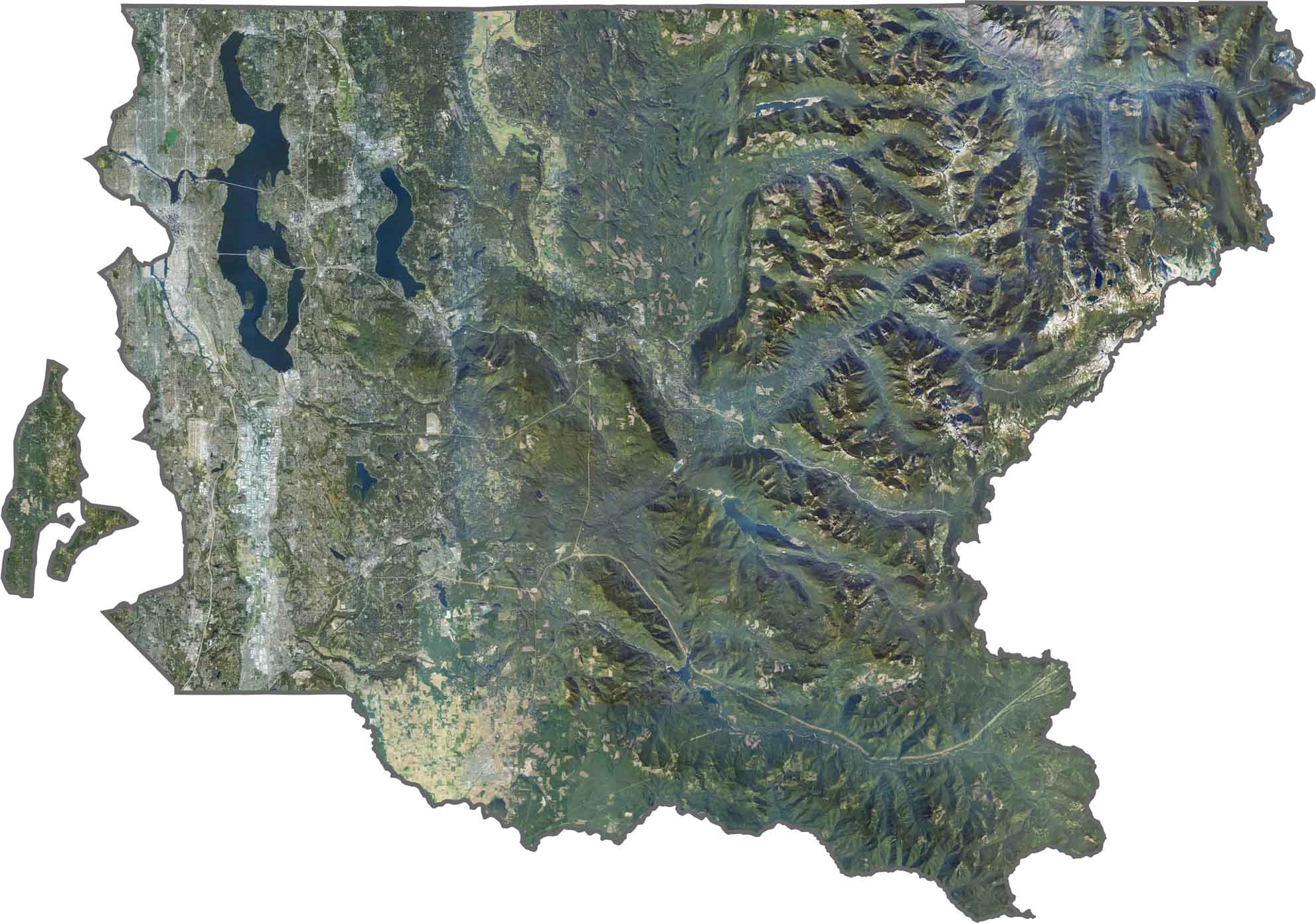
Seattle is the brightest spot in the county from above, but it’s only part of the picture. Forests cover much of the east, especially around the mountains. Lake Washington, the Duwamish River, and Elliott Bay break up the urban areas with dark blue stretches of water.
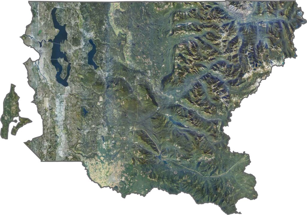
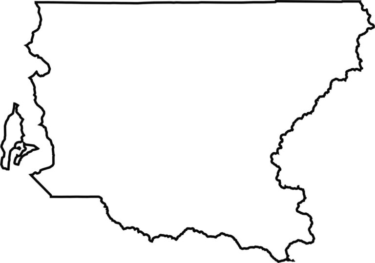
King County stretches from Puget Sound to the Cascades, wide at the top and narrowing toward the base. Its western edge is shaped by Puget Sound. Even though it doesn’t border another state, it touches both urban counties and rugged wilderness.







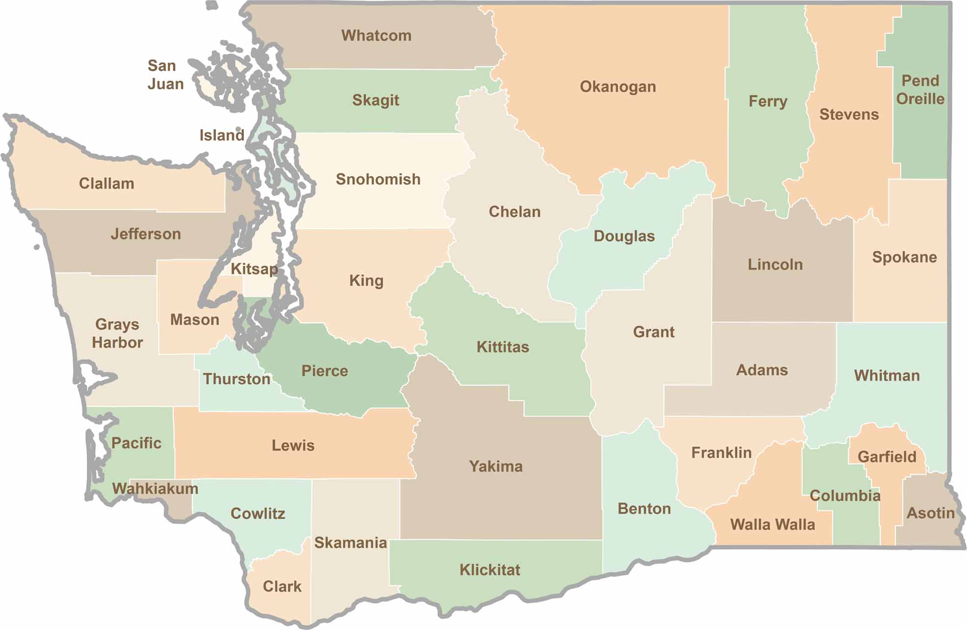
Seattle may get most of the attention, but the rest of Washington State is where the wild truly shines. From rugged Pacific coastlines and lush forests to towering mountain ranges, Washington’s 39 counties offer an incredible variety of landscapes, communities, and outdoor adventures. Explore them all and find your favorite place in Washington.