
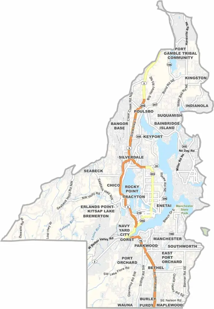
Kitsap County juts out into Puget Sound, just a ferry ride away from Seattle. It’s a peninsula with plenty of coastline, and the Navy has a major presence here. You’ll even see submarines in the waters around Bremerton.
But it’s not all military. Bainbridge Island draws day-trippers and wine tasters, while other parts of the county have a rural feel with forests and farms. Outdoor activities like kayaking and hiking are also popular around the area.
The county is named after Chief Kitsap of the Suquamish Tribe, whose legacy remains an important part of the region’s history. You can also visit the grave of Chief Seattle on the Port Madison Indian Reservation. It’s a place where history and modern life mix in interesting ways.
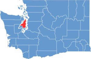
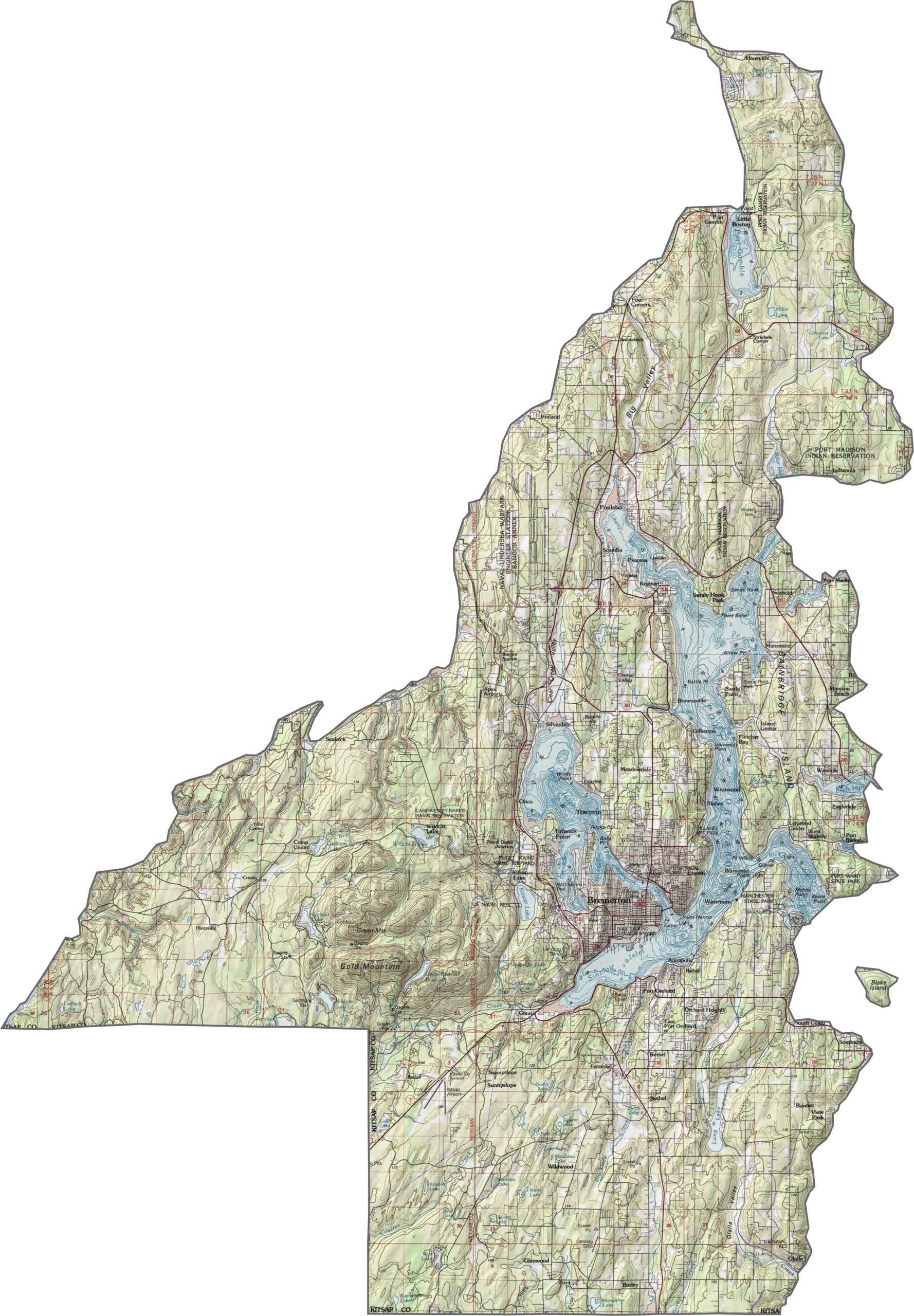
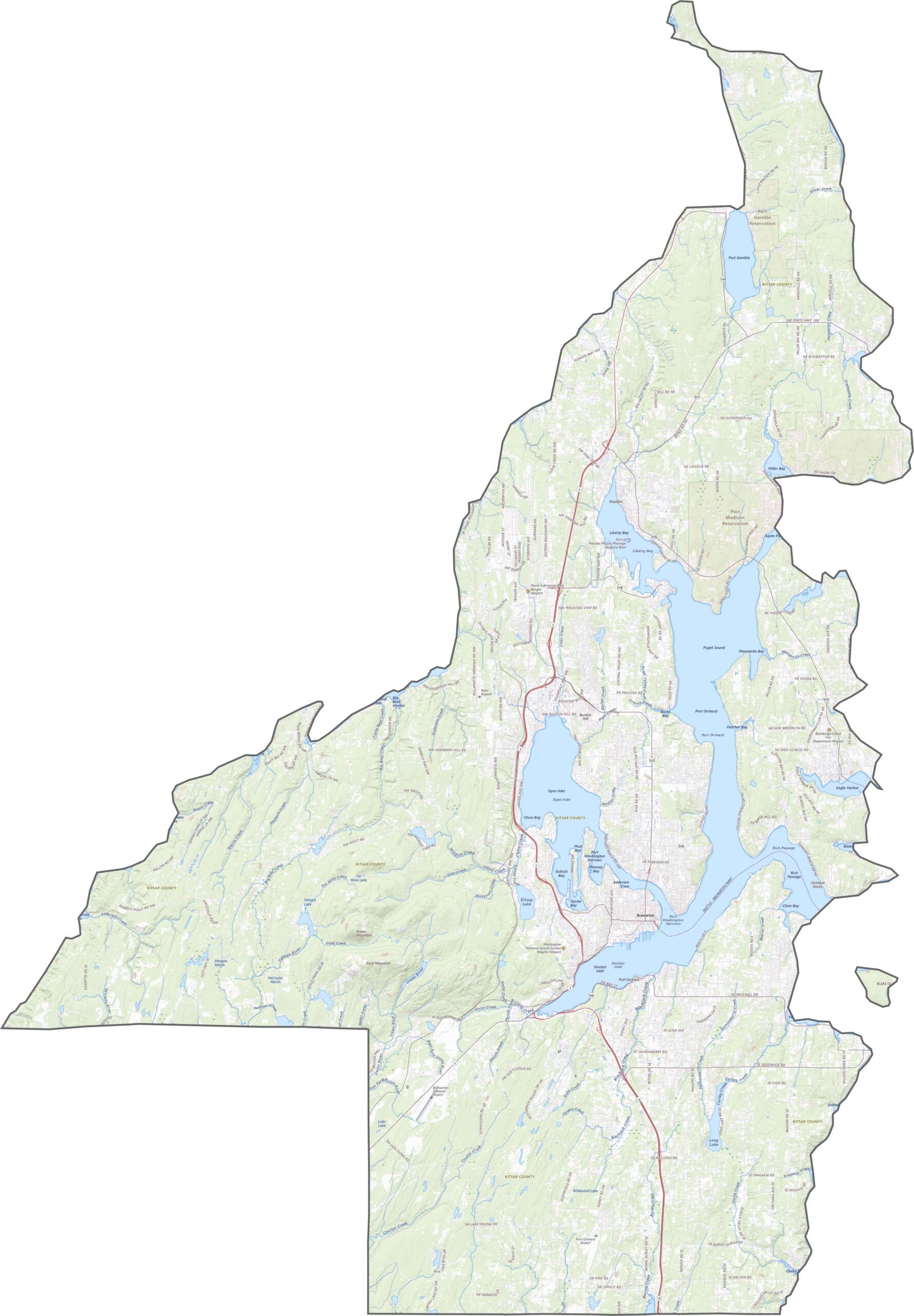
Kitsap County is shaped by water. Puget Sound surrounds the eastern side, while Hood Canal borders the west. Elevation stays modest, but the landscape is hilly, forested, and filled with hidden coves and inlets. Bainbridge Island is part of the county too, adding even more coastline.
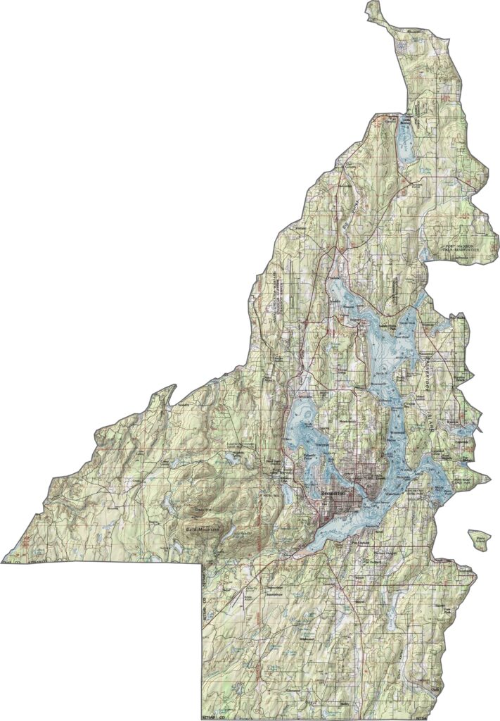
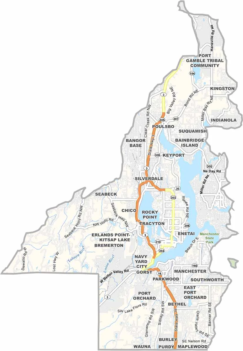
Kitsap County has no interstates, but ferries handle a big part of the transportation. State routes weave across the peninsula, with SR 3 running north-south through the heart of the county. Although some areas feel tucked away, you’re never too far from the water. Use our zoom tool to explore the county’s mix of roads.
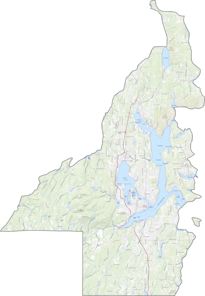
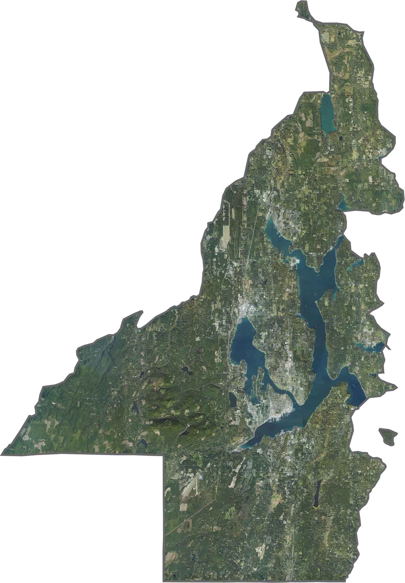
It’s mostly green around here. As you can see in our satellite image, forests dominate much of the landscape, while shipyards and towns stand out along the shoreline. Water cuts deep into the land, making the county look almost more like an archipelago than a peninsula.
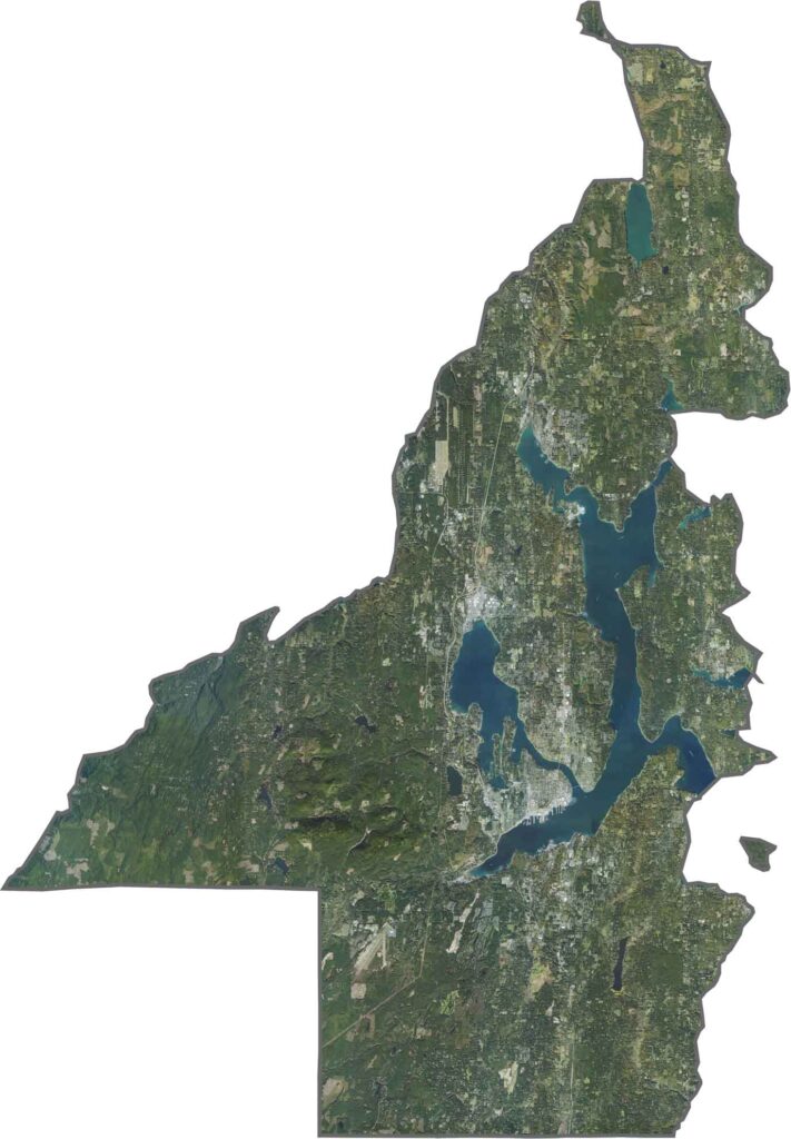
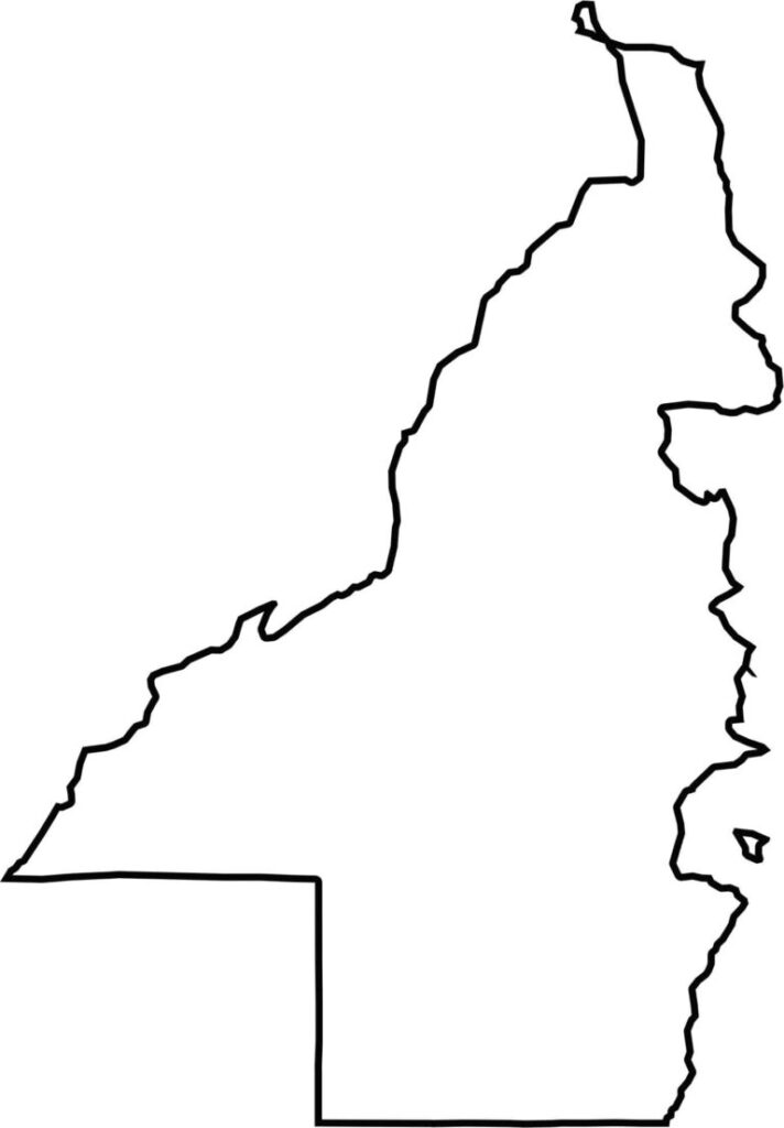
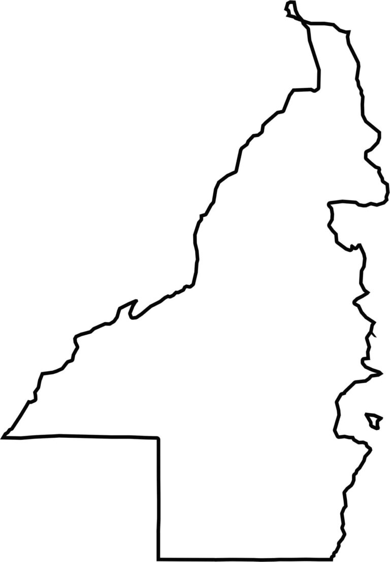
Kitsap County has a jagged shape that looks a little disconnected. Puget Sound wraps around the eastern side, while the county is divided between the mainland and Bainbridge Island. It also includes Blake Island in the southeast. With water bordering nearly every side, the coastline plays a major role in the county’s shape.






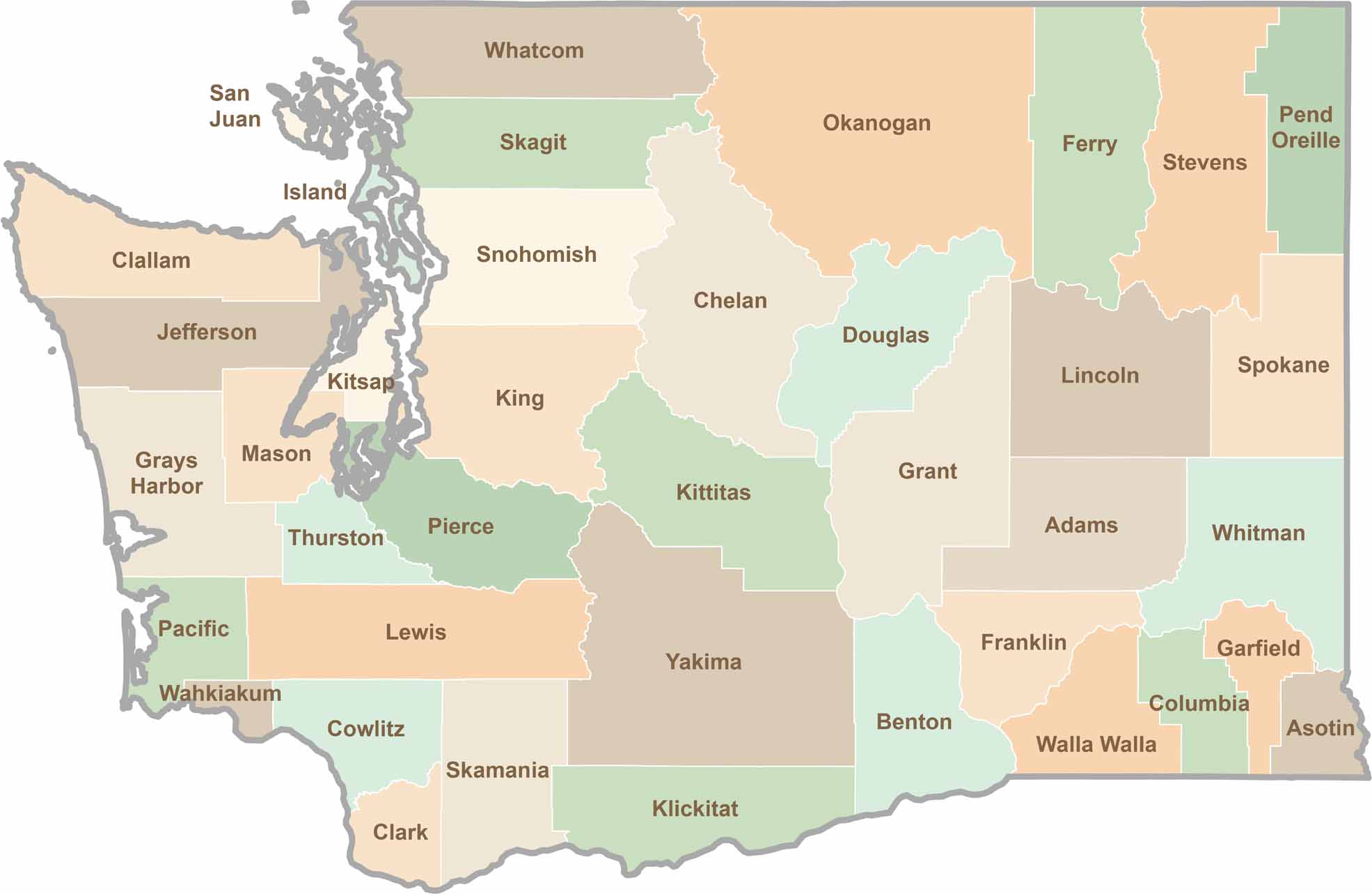
Seattle may get most of the attention, but the rest of Washington State is where the wild truly shines. From rugged Pacific coastlines and lush forests to towering mountain ranges, Washington’s 39 counties offer an incredible variety of landscapes, communities, and outdoor adventures. Explore them all and find your favorite place in Washington.