
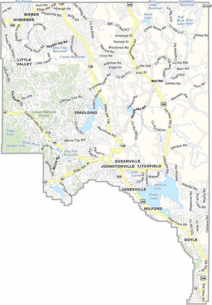
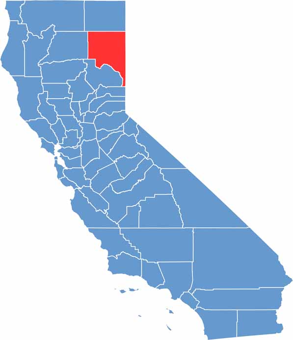
Lassen County is located in the northeastern corner of California, where high desert landscapes meet expansive forests and rugged mountains. With a population of around 33,000, it is one of the state’s more sparsely populated counties. Lassen Volcanic National Park is the region’s biggest attraction, offering volcanic landscapes, forests, lakes, and mountain scenery.
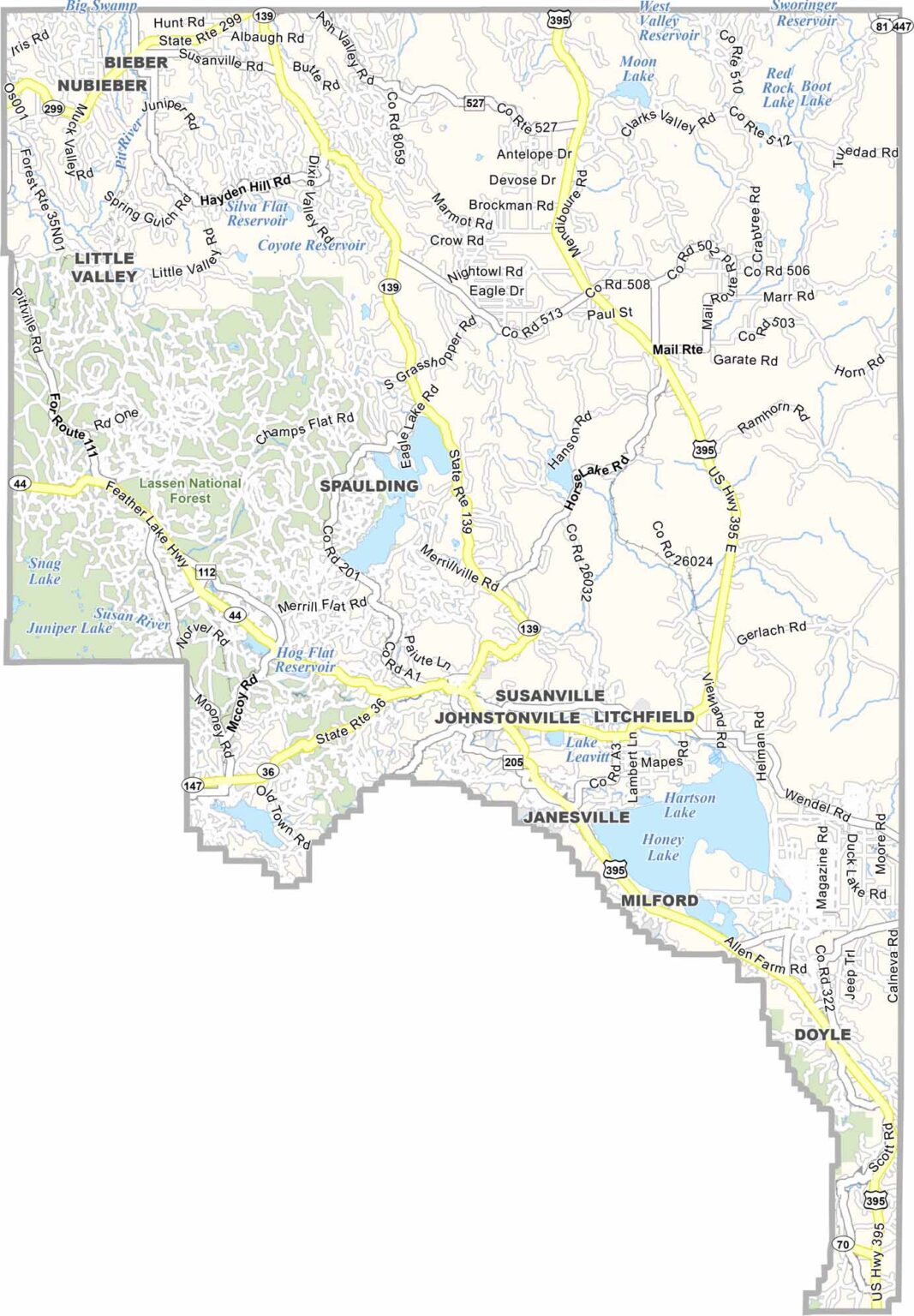
Susanville serves as the county seat and largest community, while ranching and agriculture remain important parts of the local character. The county’s wide-open landscapes also provide excellent opportunities for hunting, fishing, hiking, and other outdoor activities.
Highway 395 runs through Lassen County, providing an important connection to nearby communities and Reno, Nevada. With its small towns, scenic wilderness, and strong rural character, Lassen County offers a quieter side of northeastern California.
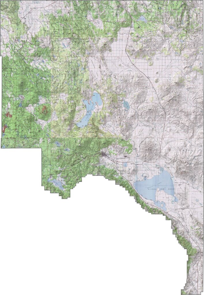
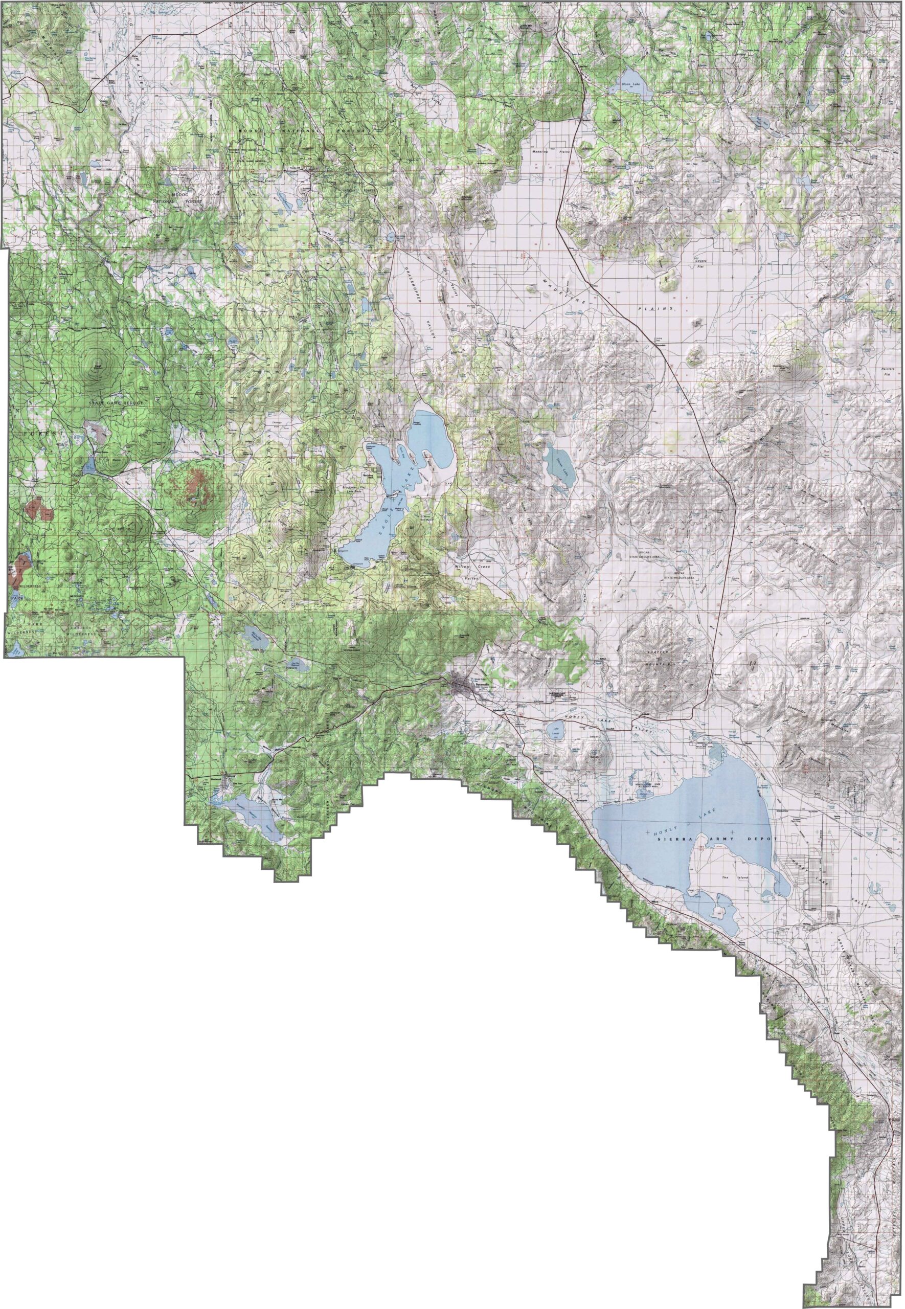
This topographic map highlights Lassen County’s high desert plateau, volcanic formations, and rugged mountain terrain in northeastern California. The detailed contours reveal the region’s varied elevation and distinctive volcanic landscap
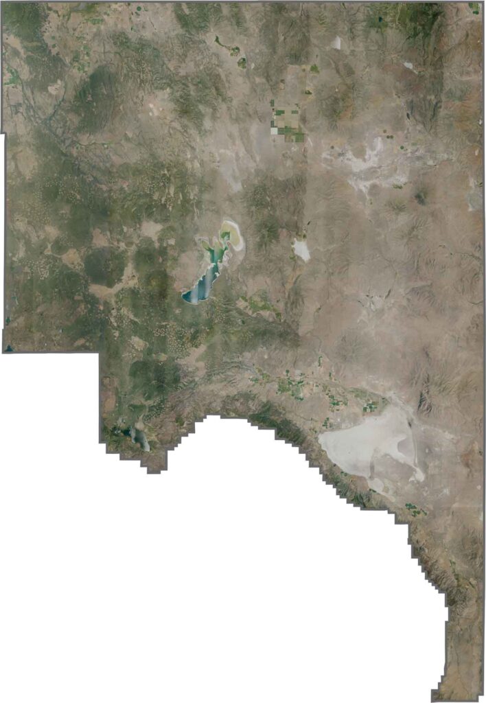
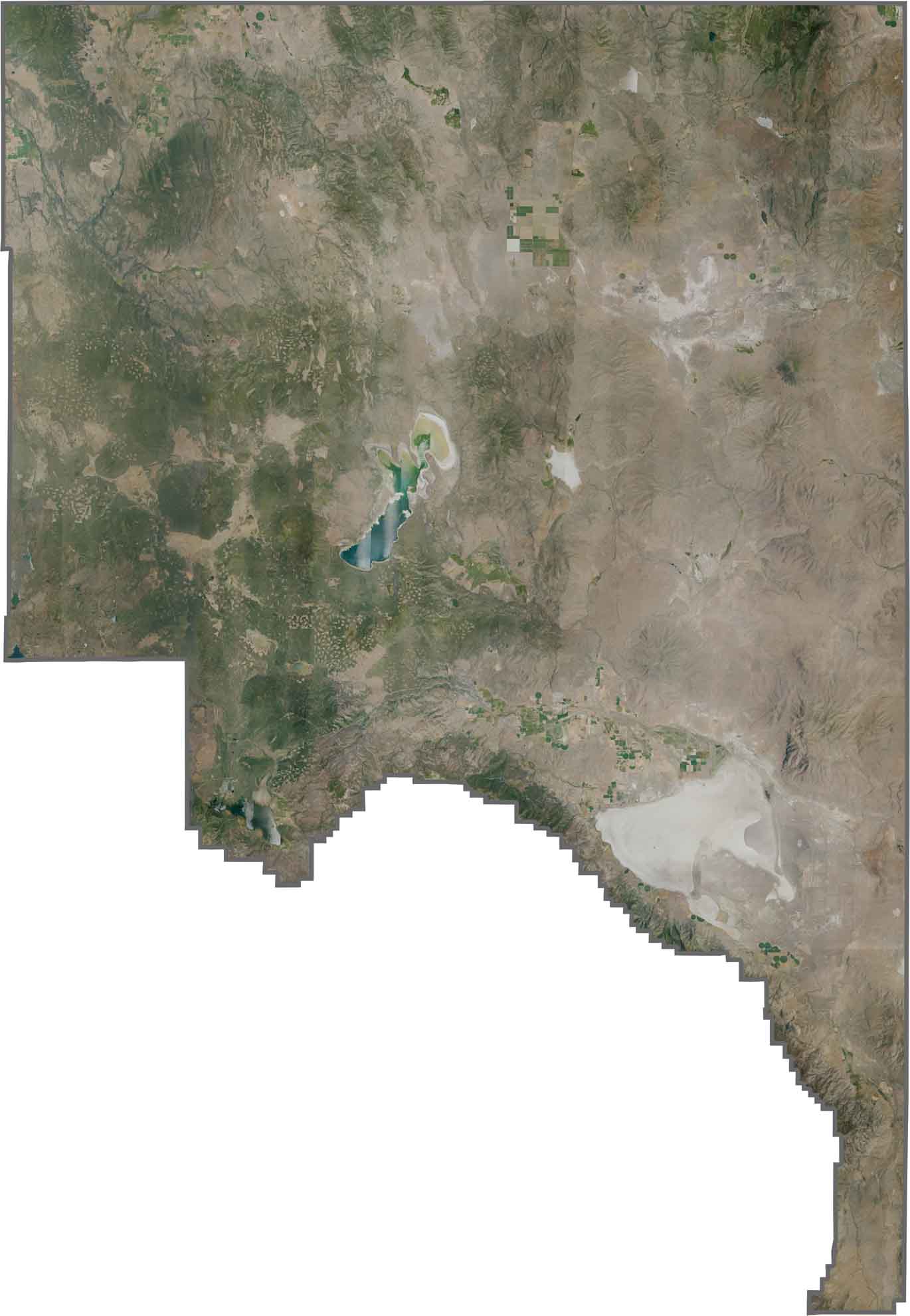
This satellite map shows the contrast between high desert plains and forest-covered mountains across Lassen County. Honey Lake appears as a distinctive light-colored feature in the western portion of the county, surrounded by broad open landscapes.
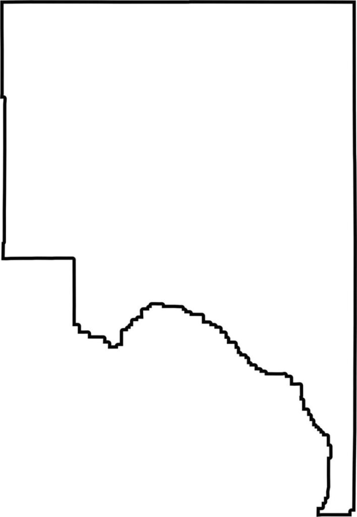
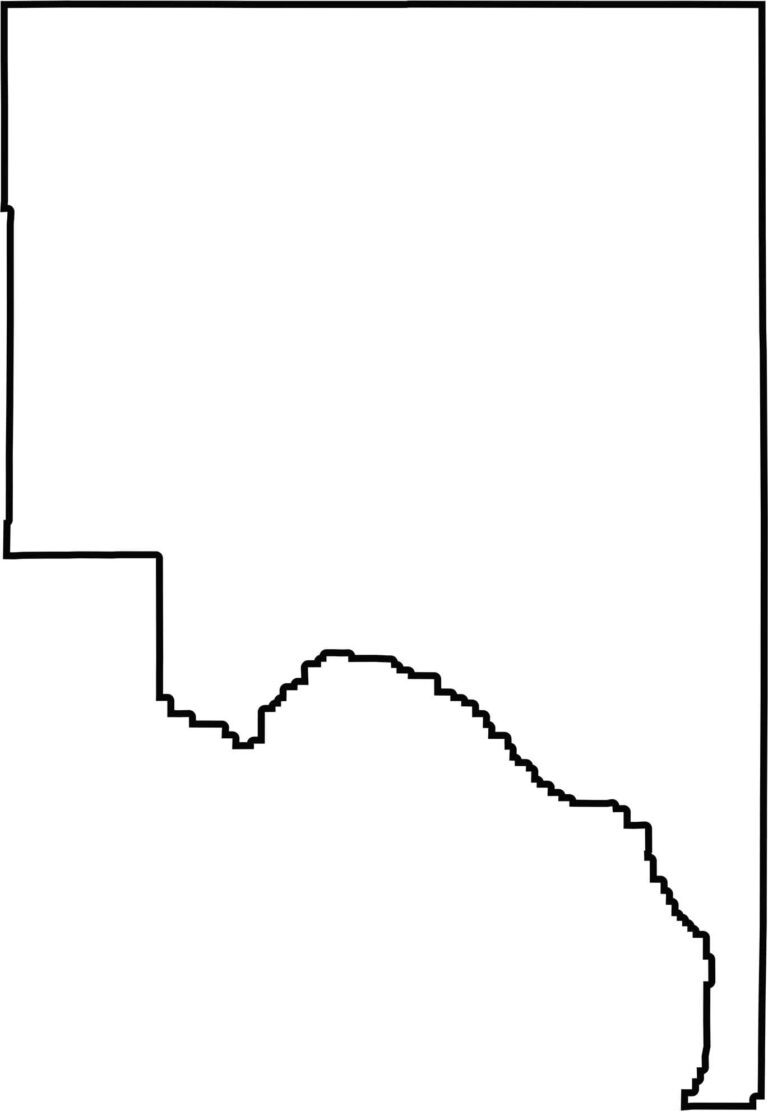
This blank map outlines Lassen County’s angular shape in northeastern California. The simple template highlights the county’s location along the Nevada border and the Modoc Plateau, emphasizing its remote setting and expansive geography.







Ever wonder how California’s 58 counties are organized? Our California county map lays them all out, from the Pacific Coast to the vast desert regions. Explore the map to find the counties you know—and perhaps discover a few you don’t.