
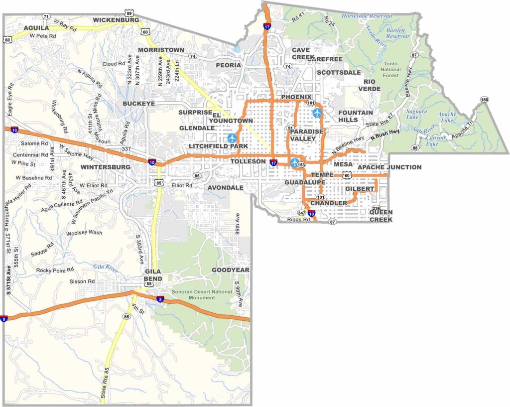
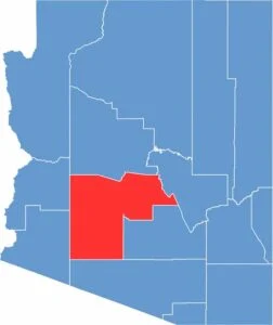
Maricopa County is Arizona’s most populous county, with more than 4 million residents. It includes Phoenix, the state capital. Known for its hot summers and mild winters, the county attracts both retirees and tourists.
The landscape of Maricopa County is mostly desert. Major industries include technology, tourism, and healthcare. The county has experienced rapid growth, creating challenges such as water supply concerns and urban sprawl.
Maricopa County is both politically important and diverse. It offers a mix of big-city living, suburban communities, and desert scenery. Despite challenges such as rising housing costs, it remains a popular destination for people and businesses moving to the Southwest.
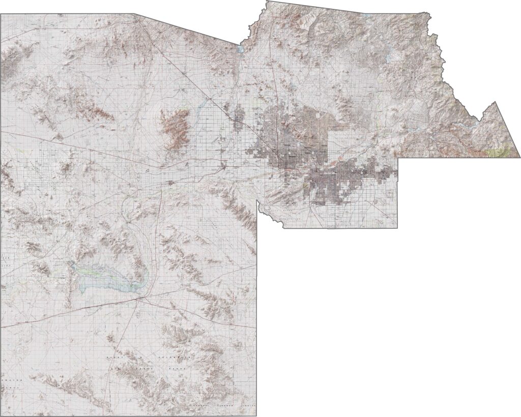
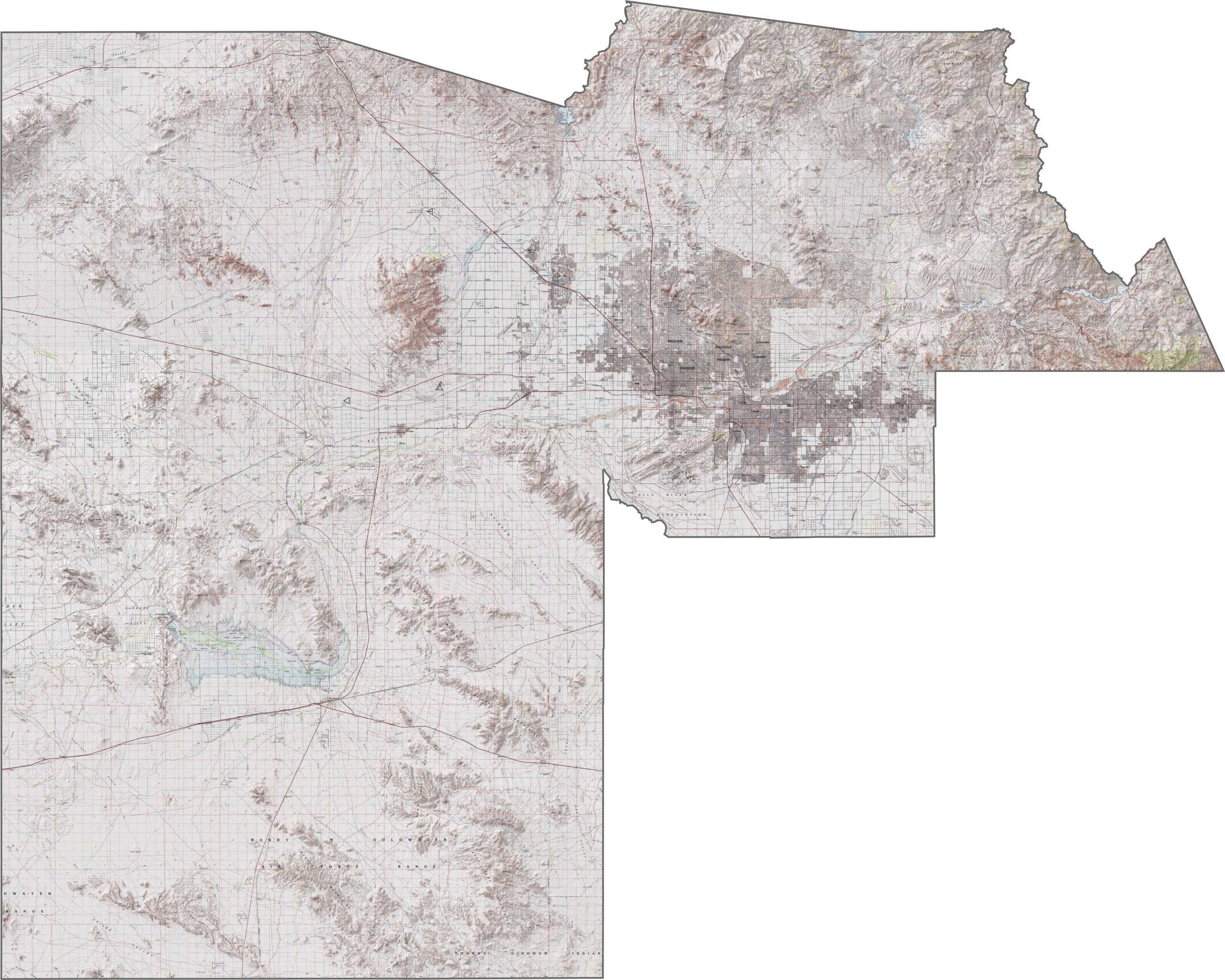
This topographic map of Maricopa County shows its diverse terrain, ranging from flat desert valleys to surrounding mountain ranges. The contour lines trace the Phoenix Mountains and other dramatic peaks rising from the Valley of the Sun.
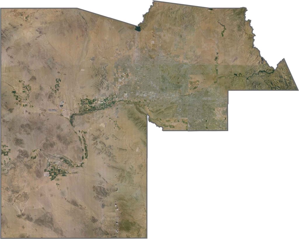
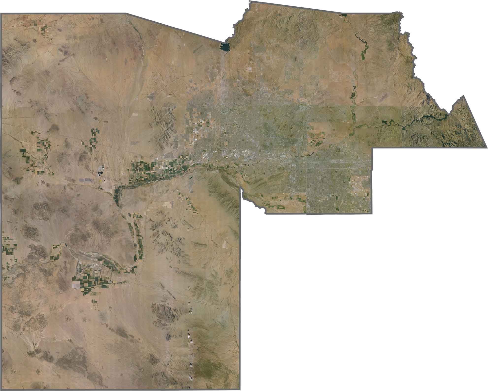
This satellite image of Maricopa County reveals the massive urban sprawl of Phoenix surrounded by desert landscapes. You can clearly see how development follows irrigation patterns throughout this arid valley.
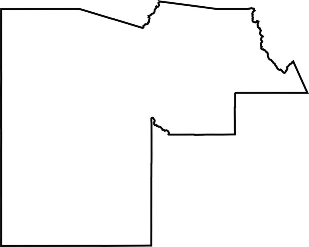
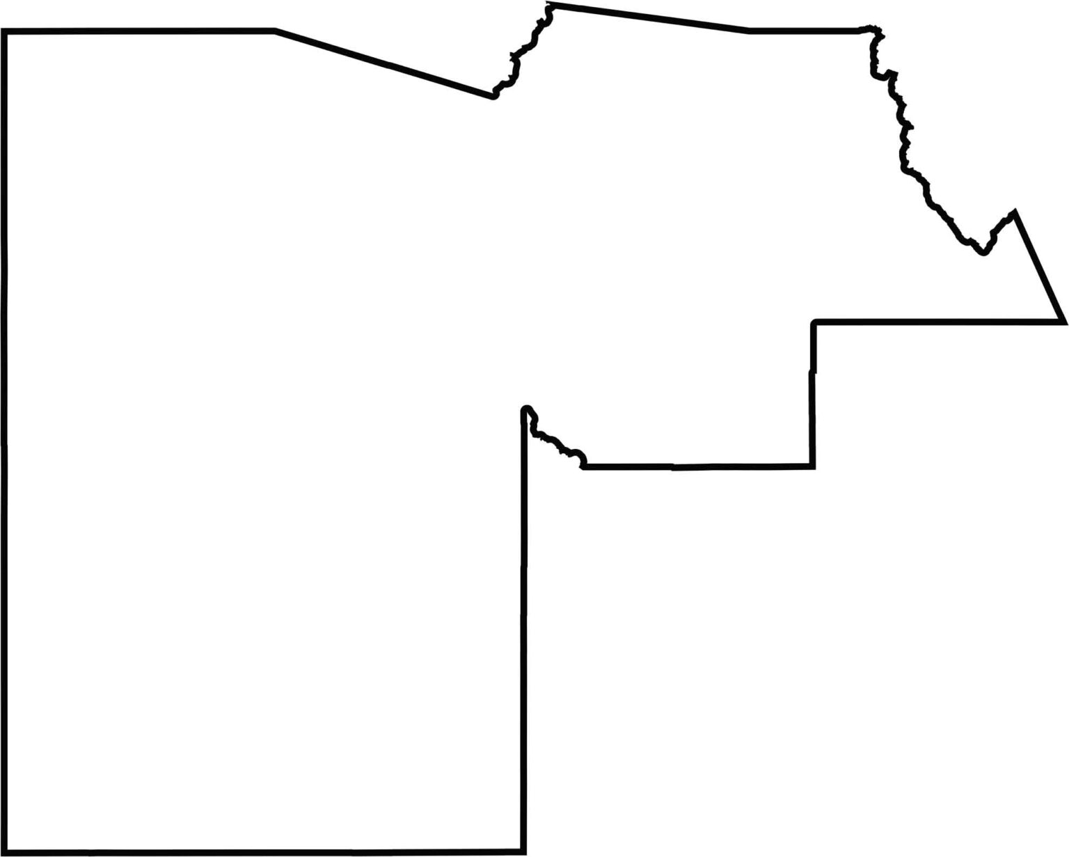
Take a look at this blank map of Maricopa County, showing the outline of Arizona’s most populous region. Its boundaries encompass a vast area containing Phoenix and its extensive suburban communities.
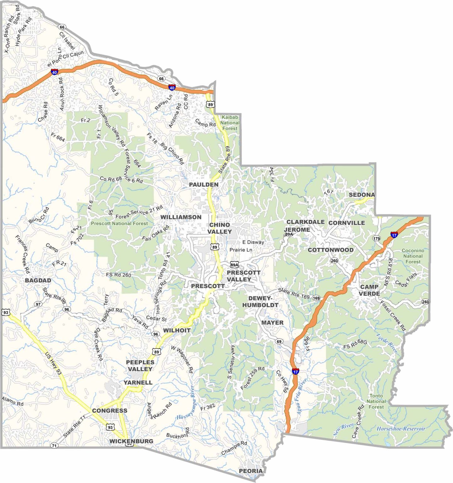
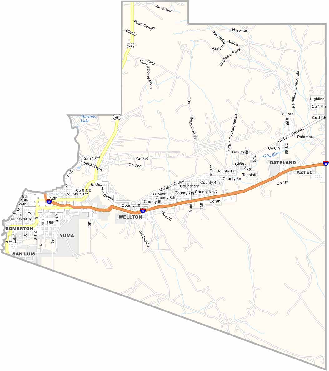
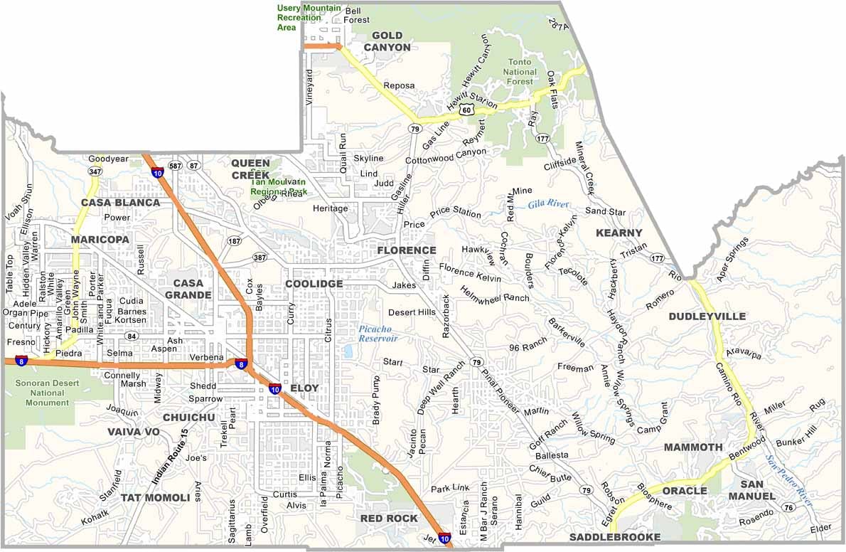
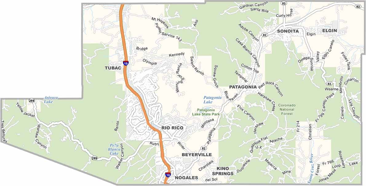
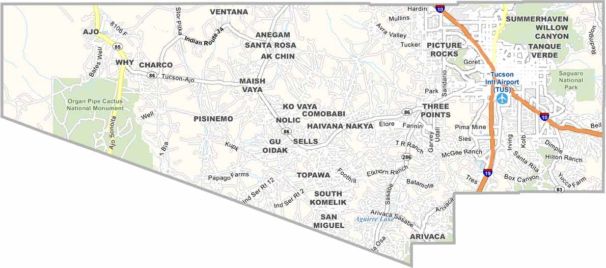
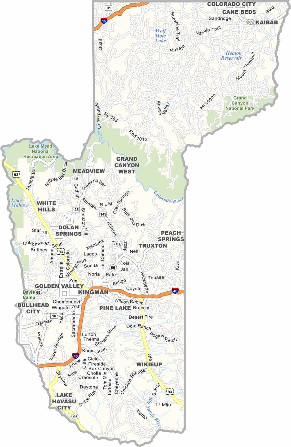
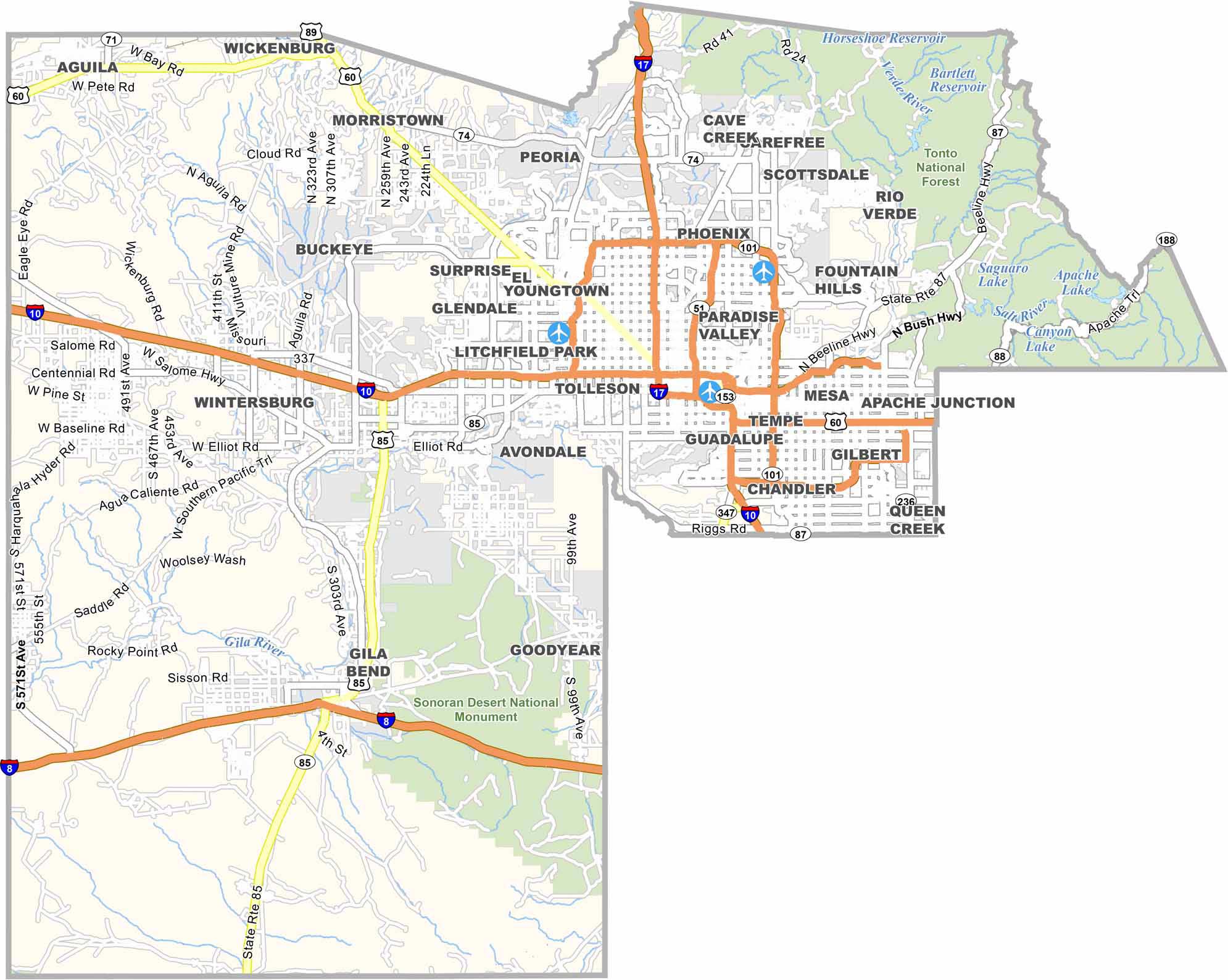
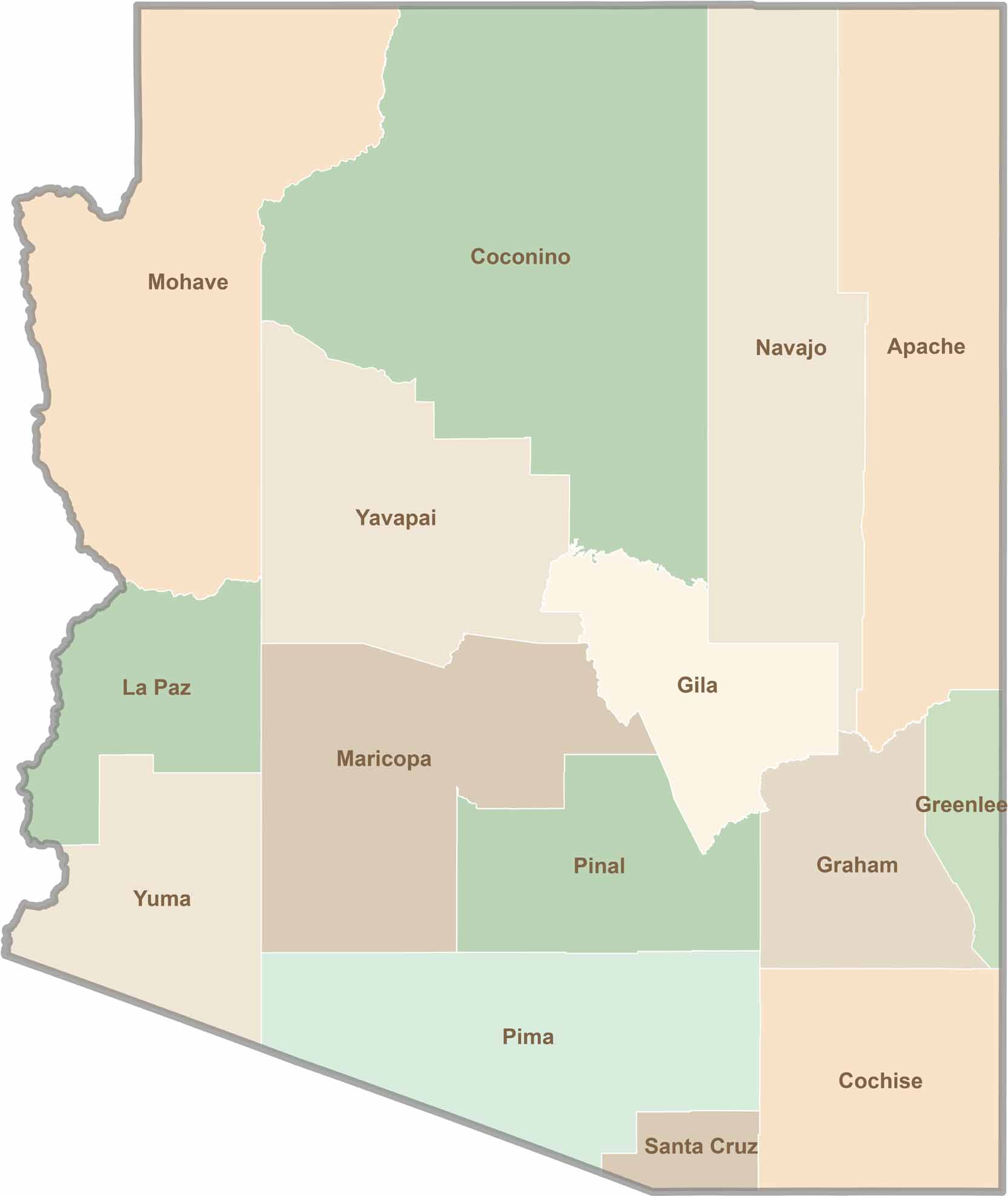
Explore all 15 counties in Arizona with our clear and colorful county map. Discover major cities, highways, landmarks, and geographic features across the Grand Canyon State. Whether you're planning an Arizona road trip, studying the state's geography, or exploring its diverse landscapes, our Arizona county map is a helpful resource for travelers, students, and geography enthusiasts.