
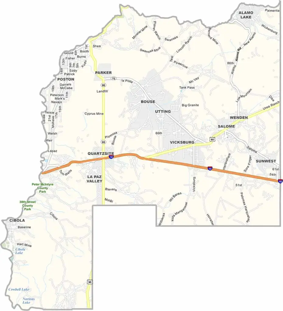
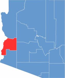
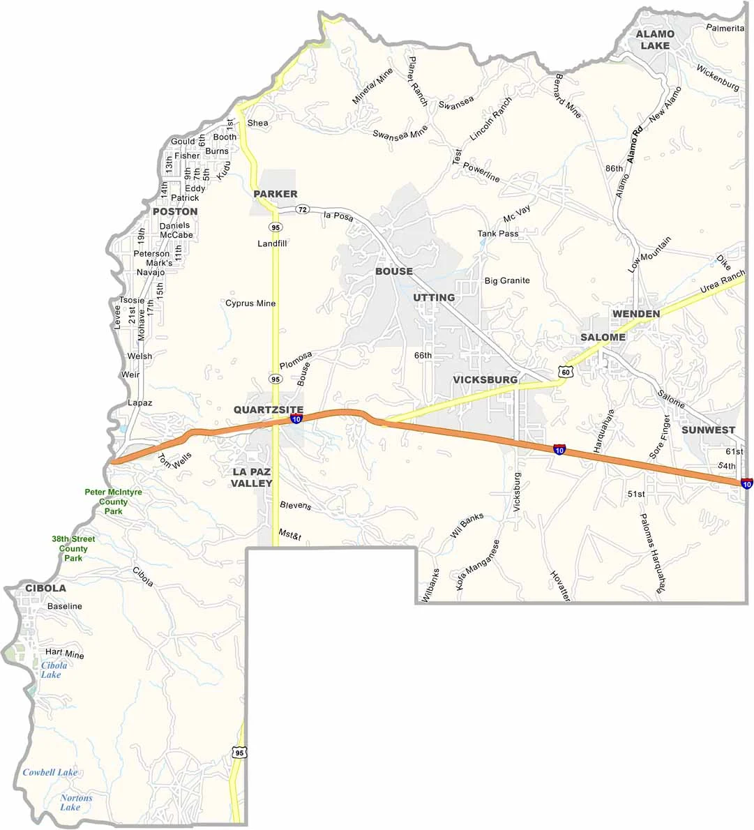
La Paz County is located in western Arizona along the Colorado River. It is one of Arizona’s newest counties, having been formed in 1983. Parker serves as the county seat and largest town. The Colorado River Indian Reservation covers a significant portion of the county.
Around 16,500 people live in the county year-round, but the population increases during winter as visitors arrive to escape colder climates. Water sports are popular, with many people enjoying boating and fishing on the Colorado River and Lake Havasu.
The landscape is mainly desert, with mountains located in the eastern part of the county. Summers are extremely hot, while winters are mild and pleasant. Quartzsite, a small town in the county, is famous for hosting large gem and mineral shows every winter.
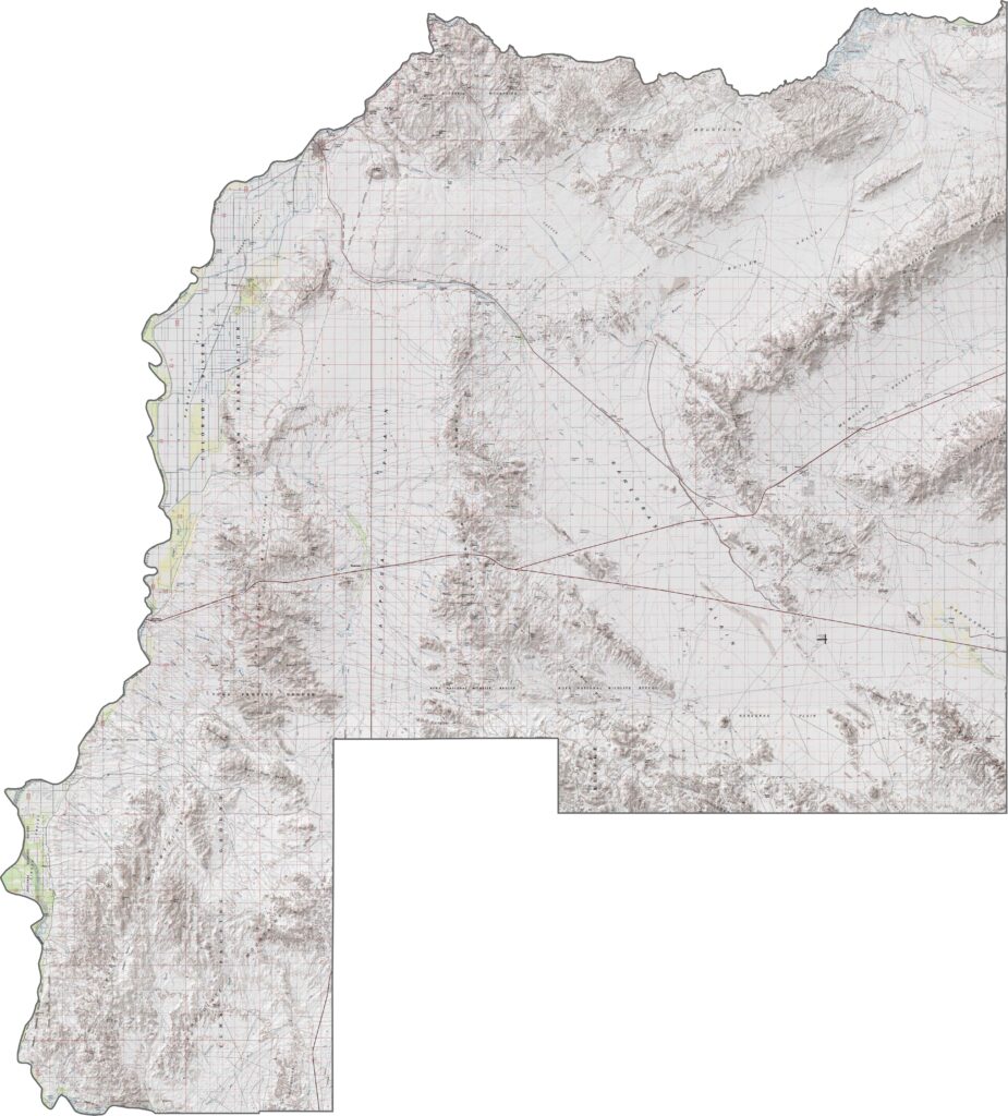
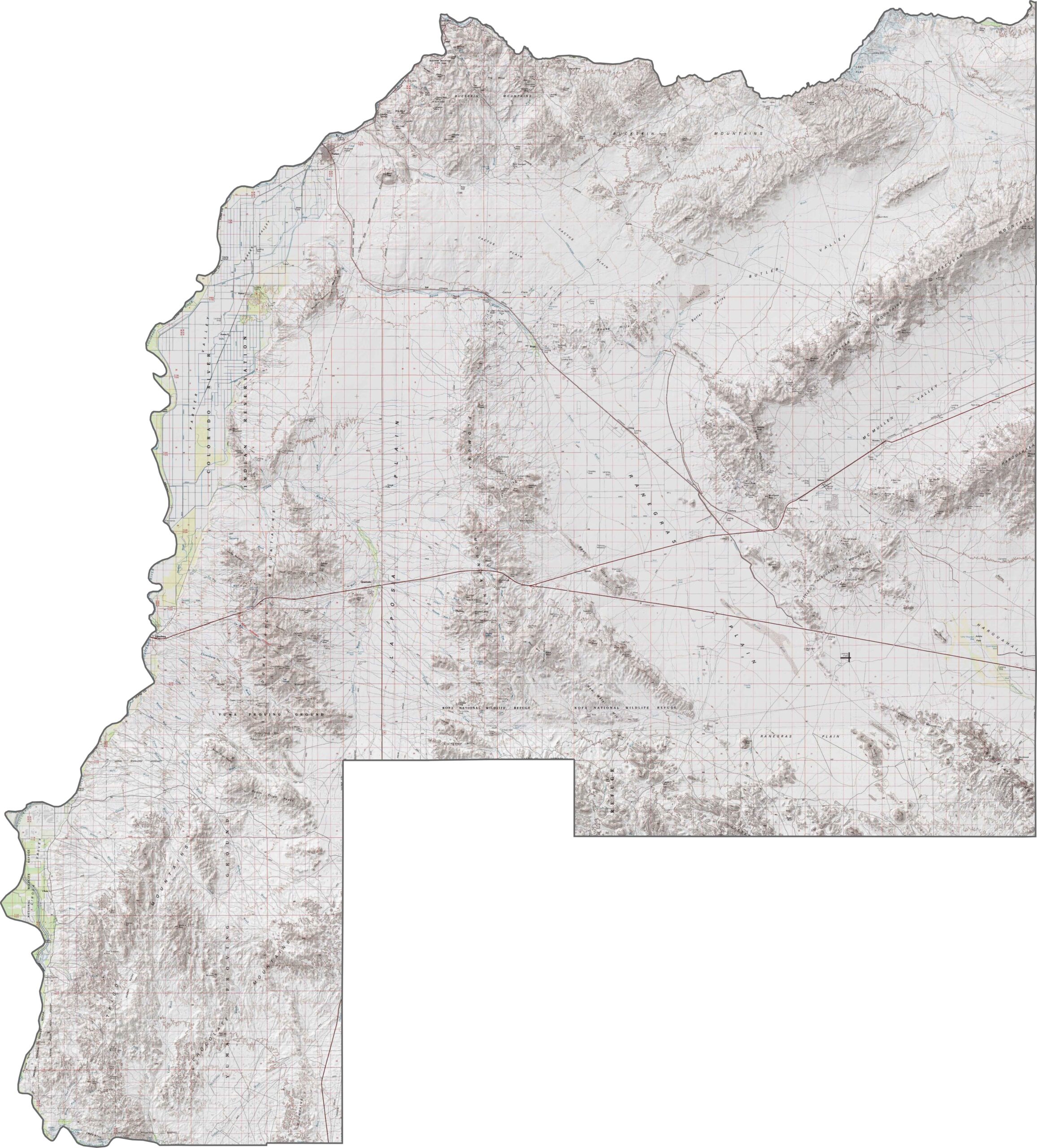
Our topographic map of La Paz County highlights its low desert plains and the Colorado River Valley. You can see the gentle contours of the desert floor contrasting with the sharper lines around scattered mountain outcrops.
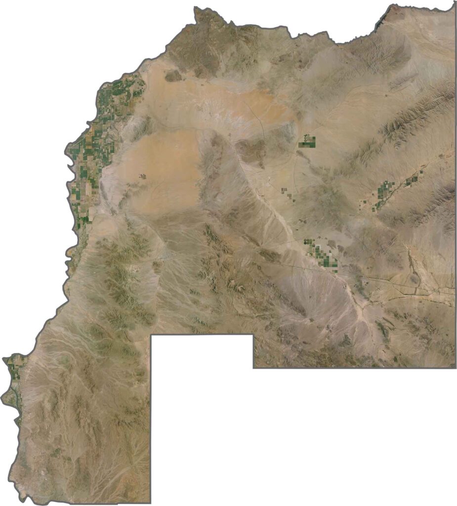
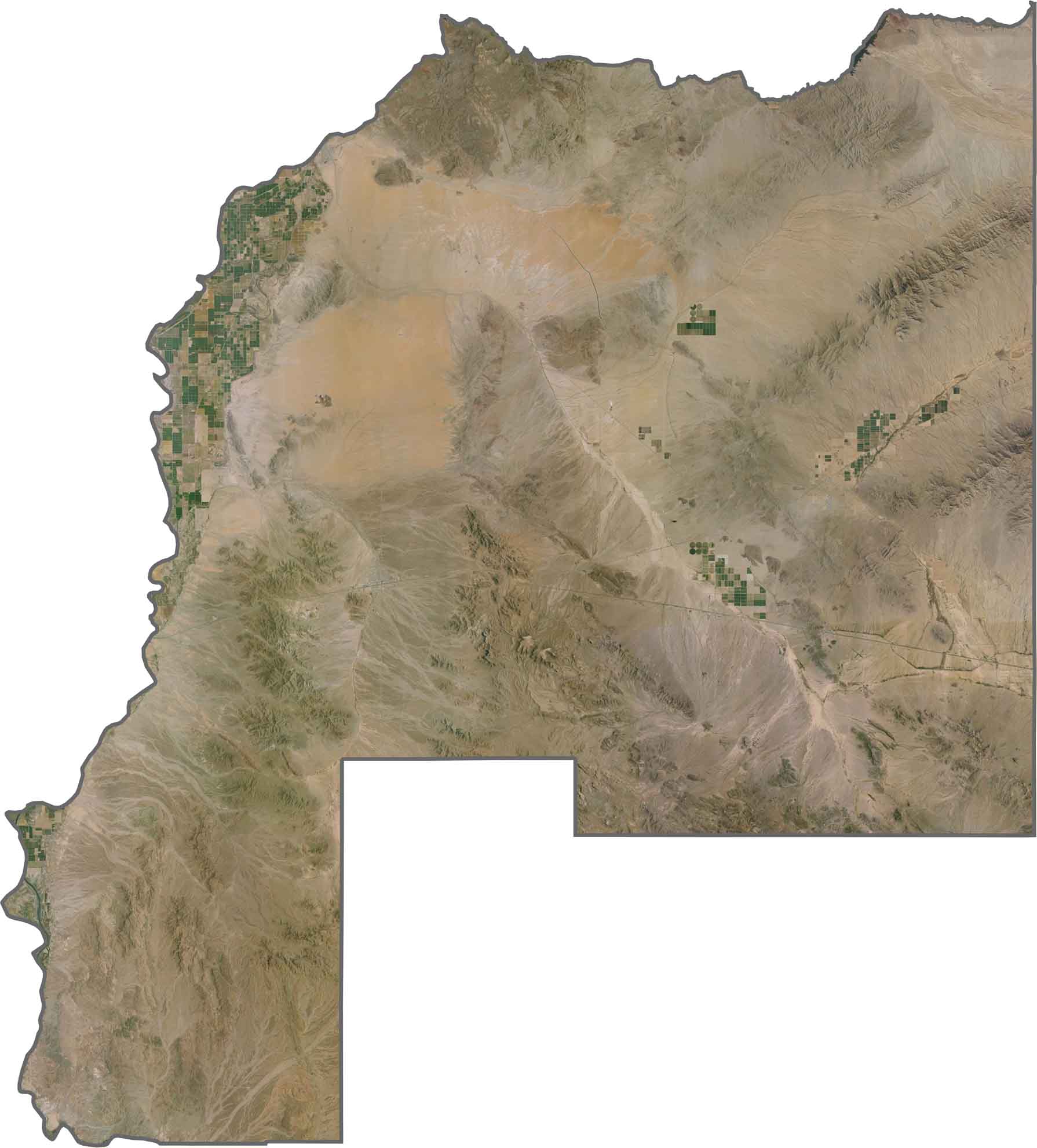
The satellite map of La Paz County shows the blue ribbon of the Colorado River cutting through the dry desert terrain. You’ll notice a clear contrast between irrigated green areas and the surrounding brown desert landscape.
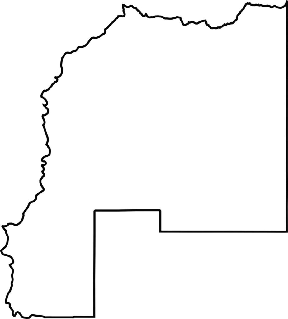
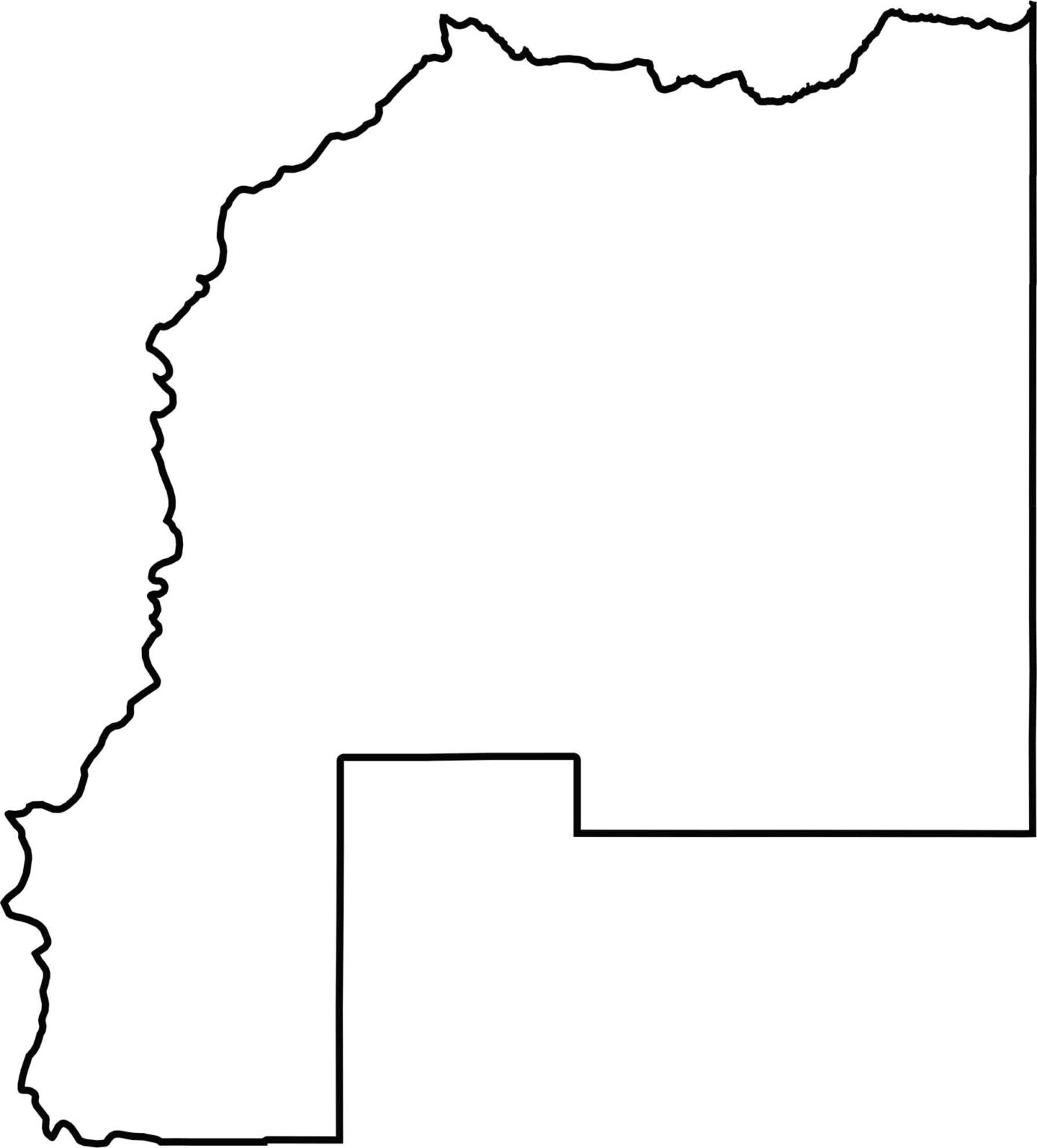
This blank map of La Paz County outlines the county’s shape along the western border, where Arizona meets California. The Colorado River creates its distinctive western boundary line.
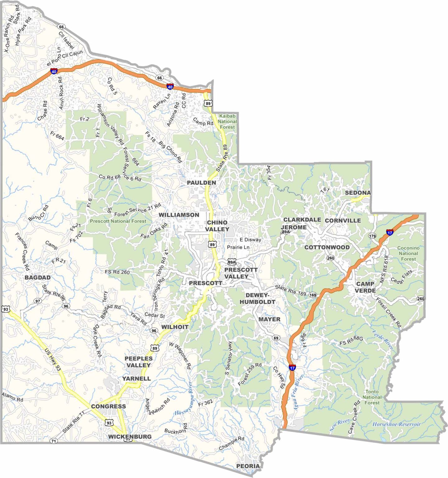
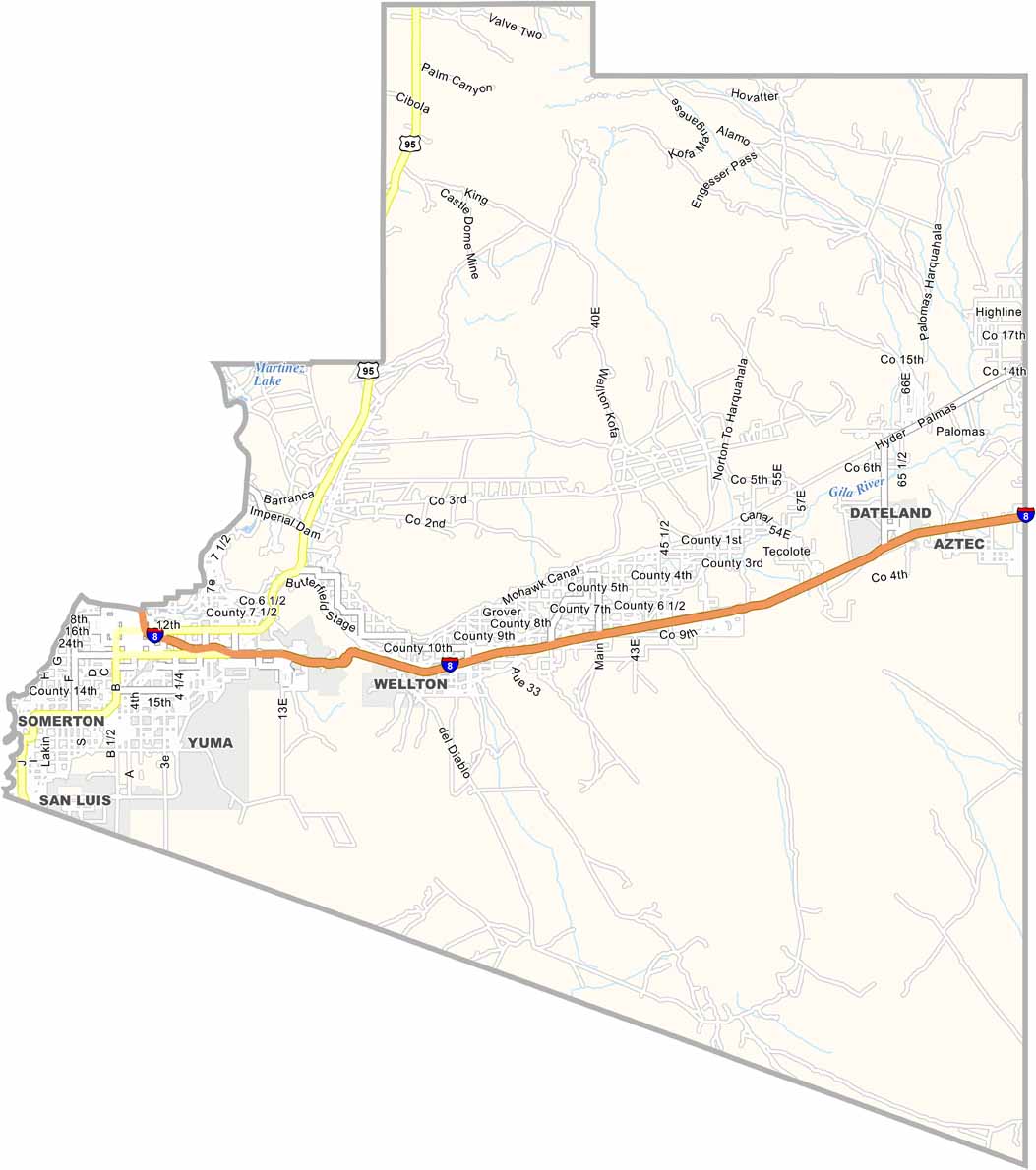
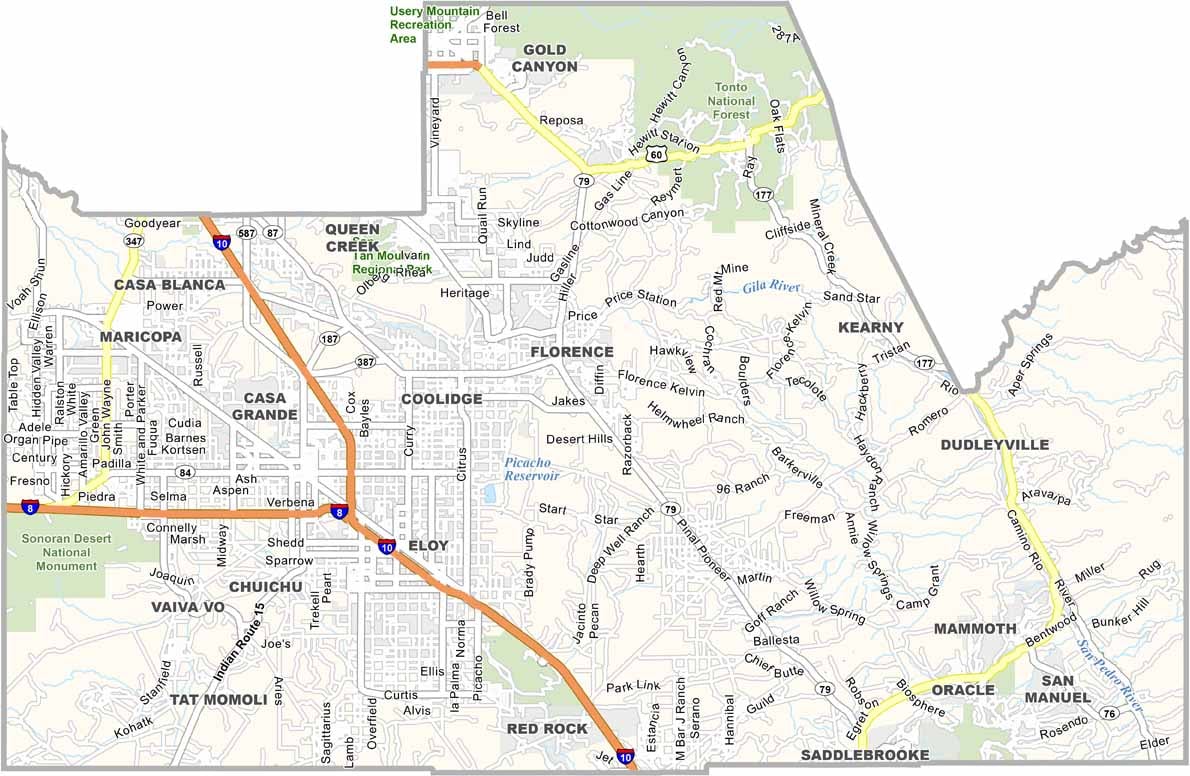
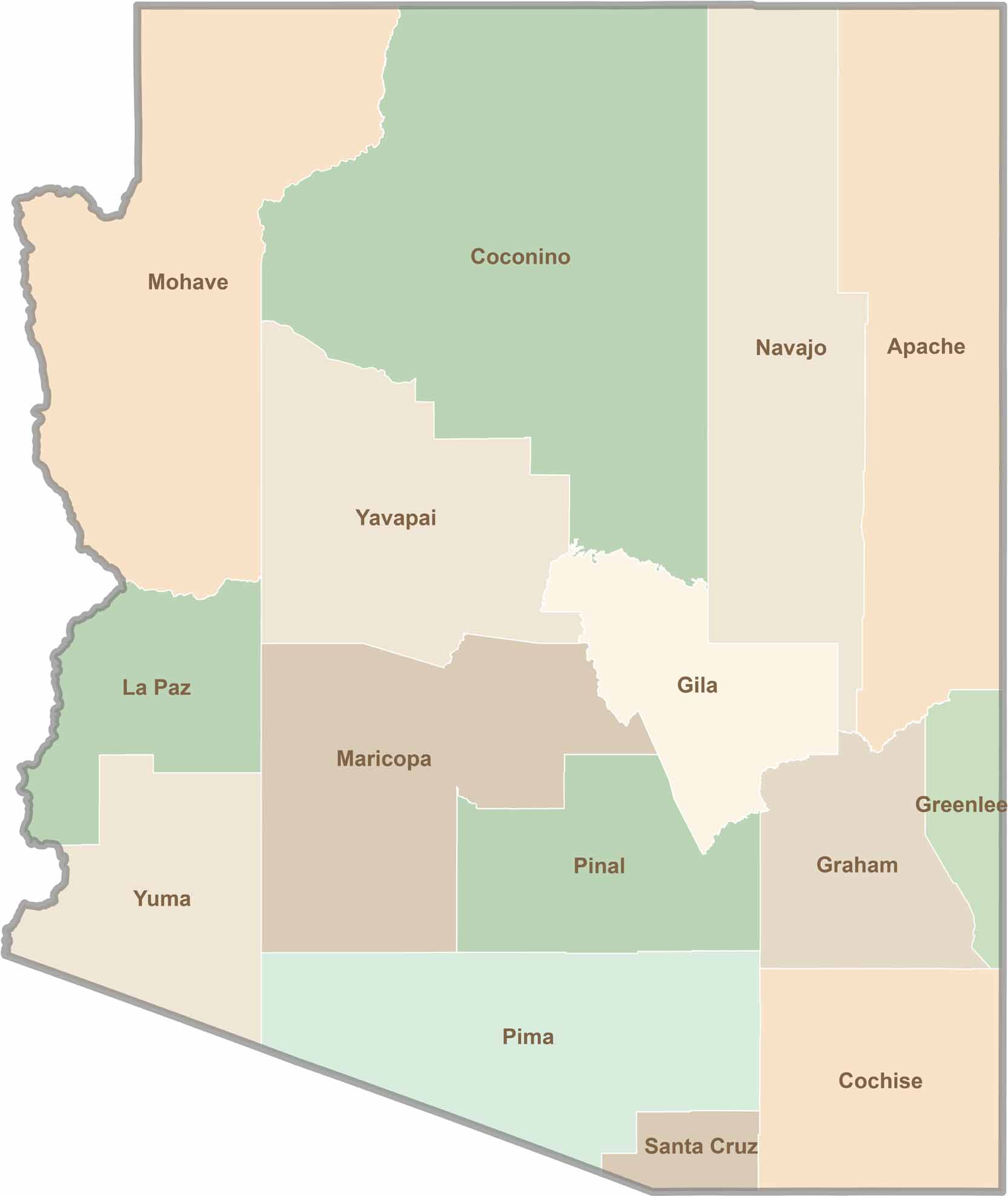
Explore all 15 counties in Arizona with our clear and colorful county map. Discover major cities, highways, landmarks, and geographic features across the Grand Canyon State. Whether you're planning an Arizona road trip, studying the state's geography, or exploring its diverse landscapes, our Arizona county map is a helpful resource for travelers, students, and geography enthusiasts.