
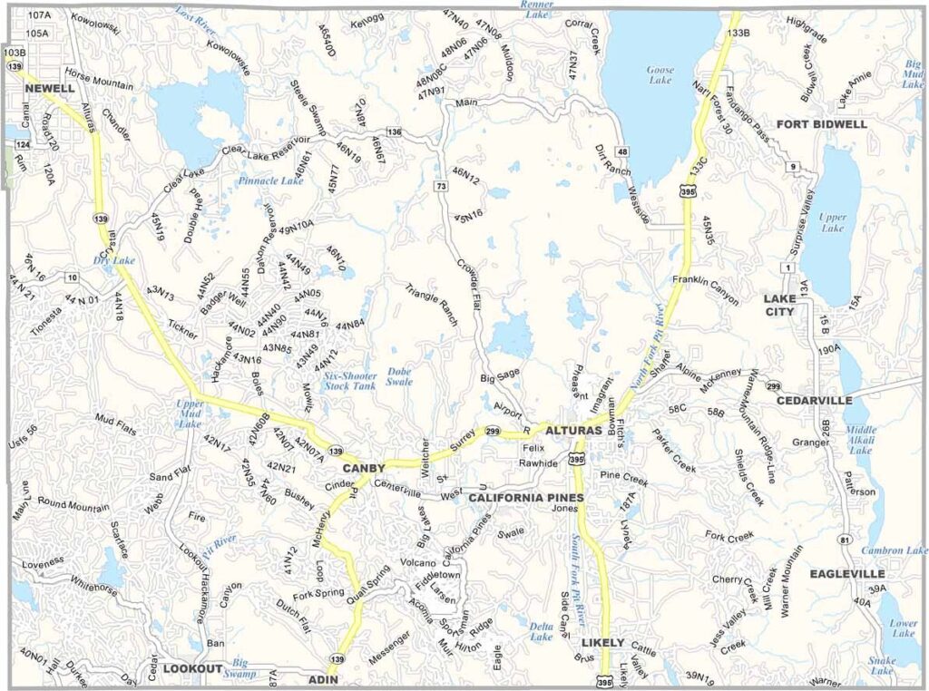
Modoc County sits in the far northeastern corner of California, where high desert landscapes meet expansive forests and rugged mountains. With a population of around 9,500 people, it is one of the state’s most sparsely populated counties.
Outdoor recreation is a major part of life here. Hunting and fishing are especially popular, with wide-open landscapes and abundant wildlife providing plenty of opportunities for adventure. The region also has a strong rural and ranching character.
Alturas serves as the county seat and largest community. Lava Beds National Monument is one of the area’s standout attractions, featuring extensive volcanic formations, caves, and rugged terrain. With its forests, high desert, and small communities, Modoc County offers a distinctly remote California experience.
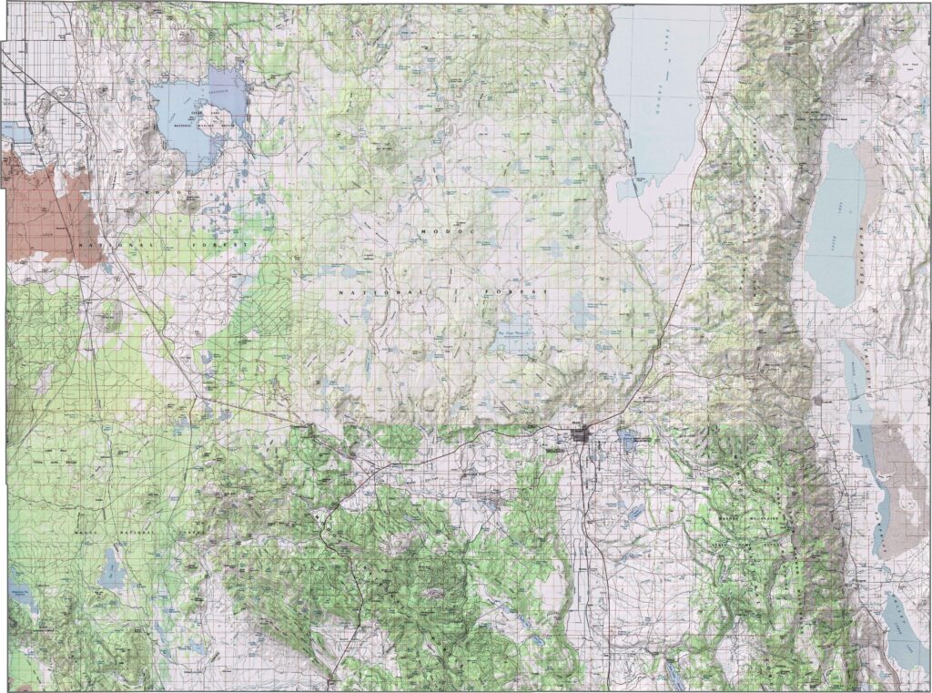
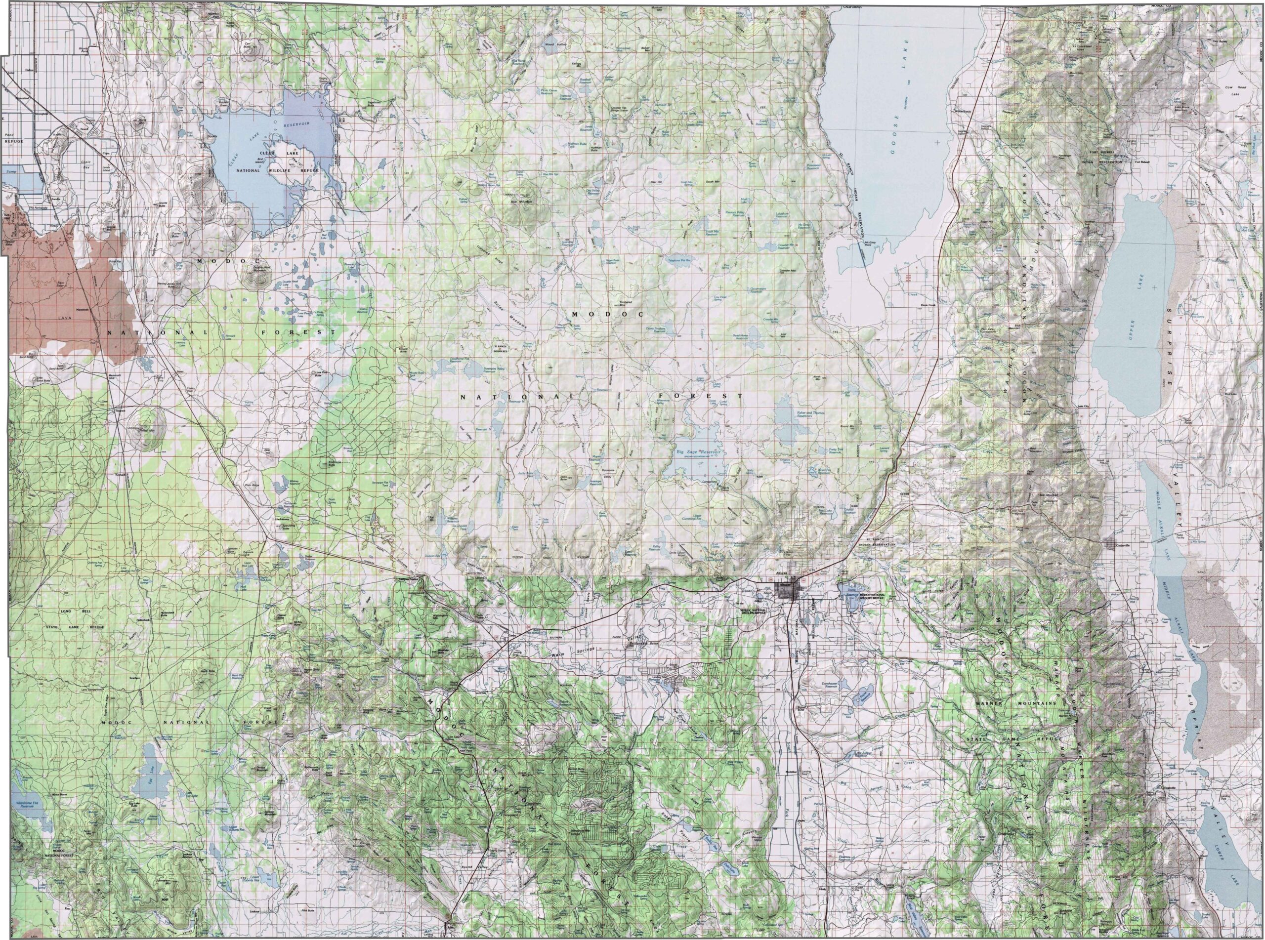
This topographic map highlights Modoc County’s high desert plateau and volcanic terrain in northeastern California. The detailed contours reveal broad valleys, mountain ranges, and ancient lava flows across this remote region.
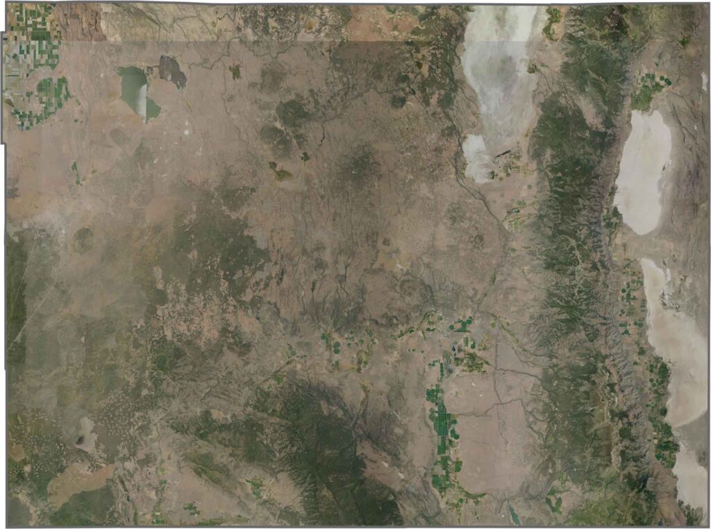
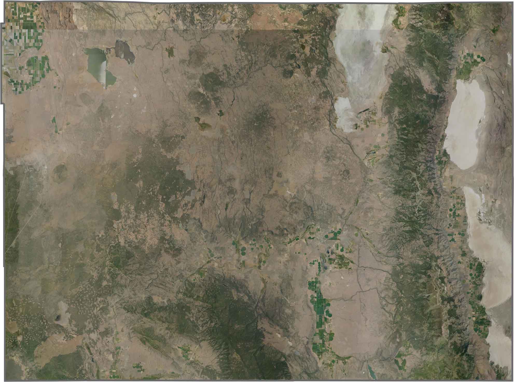
This satellite map shows high desert grasslands and volcanic plateaus across Modoc County. Tule Lake’s agricultural basin creates a distinctive grid pattern, while the Warner Mountains form a prominent forested ridge along the eastern edge.
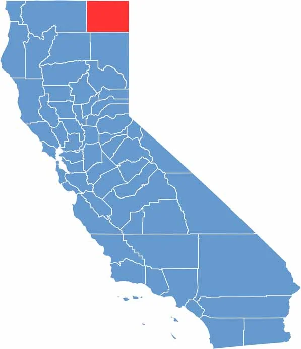
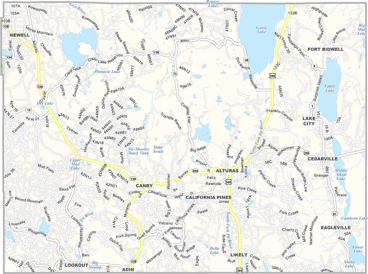
This blank map outlines Modoc County’s rectangular shape in California’s northeastern corner. The northern boundary follows the Oregon state line, while the eastern edge borders Nevada, emphasizing the county’s remote location.









Ever wonder how California’s 58 counties are organized? Our California county map lays them all out, from the Pacific Coast to the vast desert regions. Explore the map to find the counties you know—and perhaps discover a few you don’t.