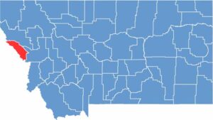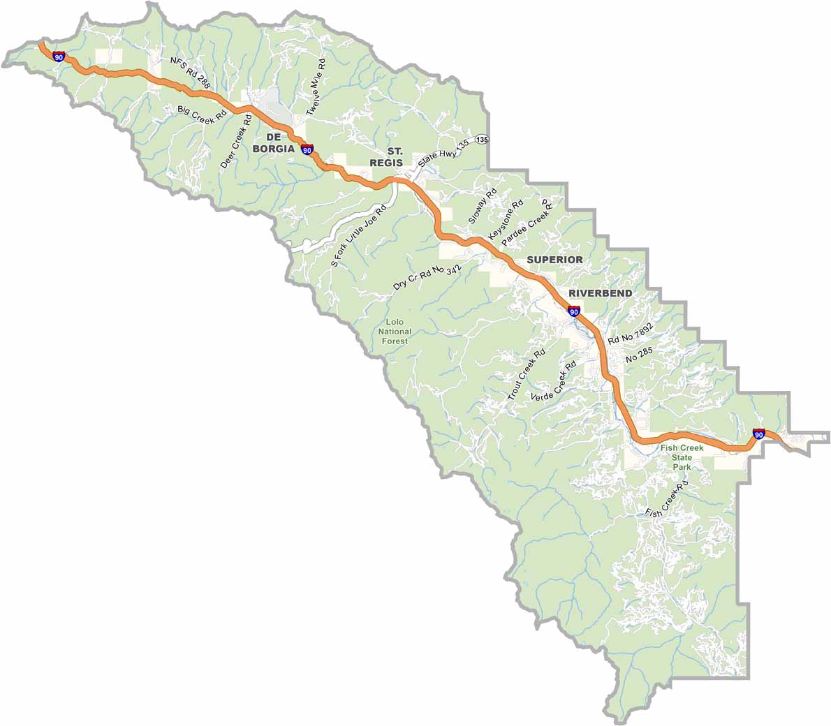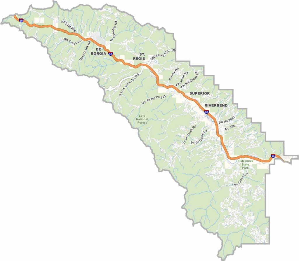
Mineral County sits along Montana’s western border with Idaho. It’s a narrow stretch of land packed with forests, rivers, and outdoor adventures. Superior is the county seat of Mineral County.
Winters here are no joke, but that just means epic snowmobiling. In summer, the trails of Lolo National Forest are the star of the show. You might even have them all to yourself. The annual Mineral County Fair is a must-see if you’re around in August.
The Clark Fork River runs through the county, offering some of the best fly fishing you’ll ever experience. Locals are proud of their mining heritage, and you can still spot old mines around the area. It’s small, but it’s tons of fun. Oh, and keep an eye out for huckleberries because they’re a local delicacy.