
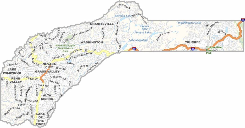
Nevada County is nestled in California’s Sierra Nevada foothills, where Gold Rush history remains an important part of the local character. With a population of around 100,000, the county combines historic mountain communities with abundant outdoor recreation.
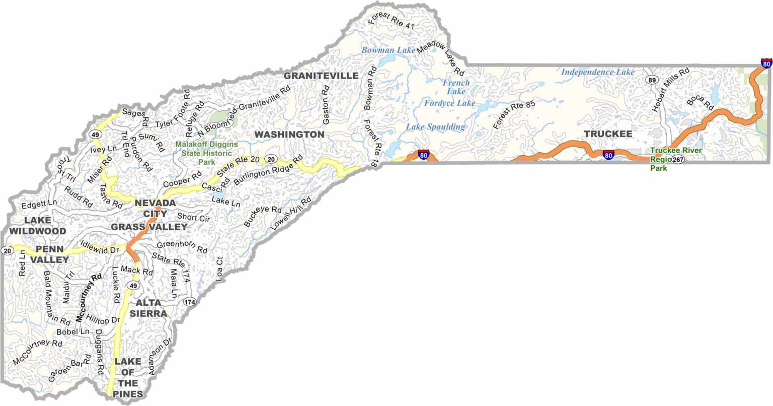
Grass Valley and Nevada City are known for their well-preserved Victorian buildings, historic streets, and lively arts scenes. Highway 49 connects these communities while winding through scenic foothill landscapes and providing access to nearby hiking and skiing destinations.
The Yuba River adds another attraction, offering opportunities for swimming, fishing, and gold panning. With its historic towns, mountain scenery, and easy access to outdoor adventures, Nevada County offers a distinctly Sierra foothills experience.
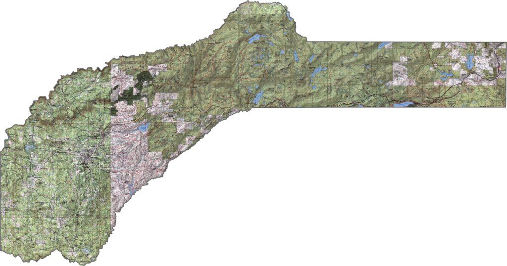
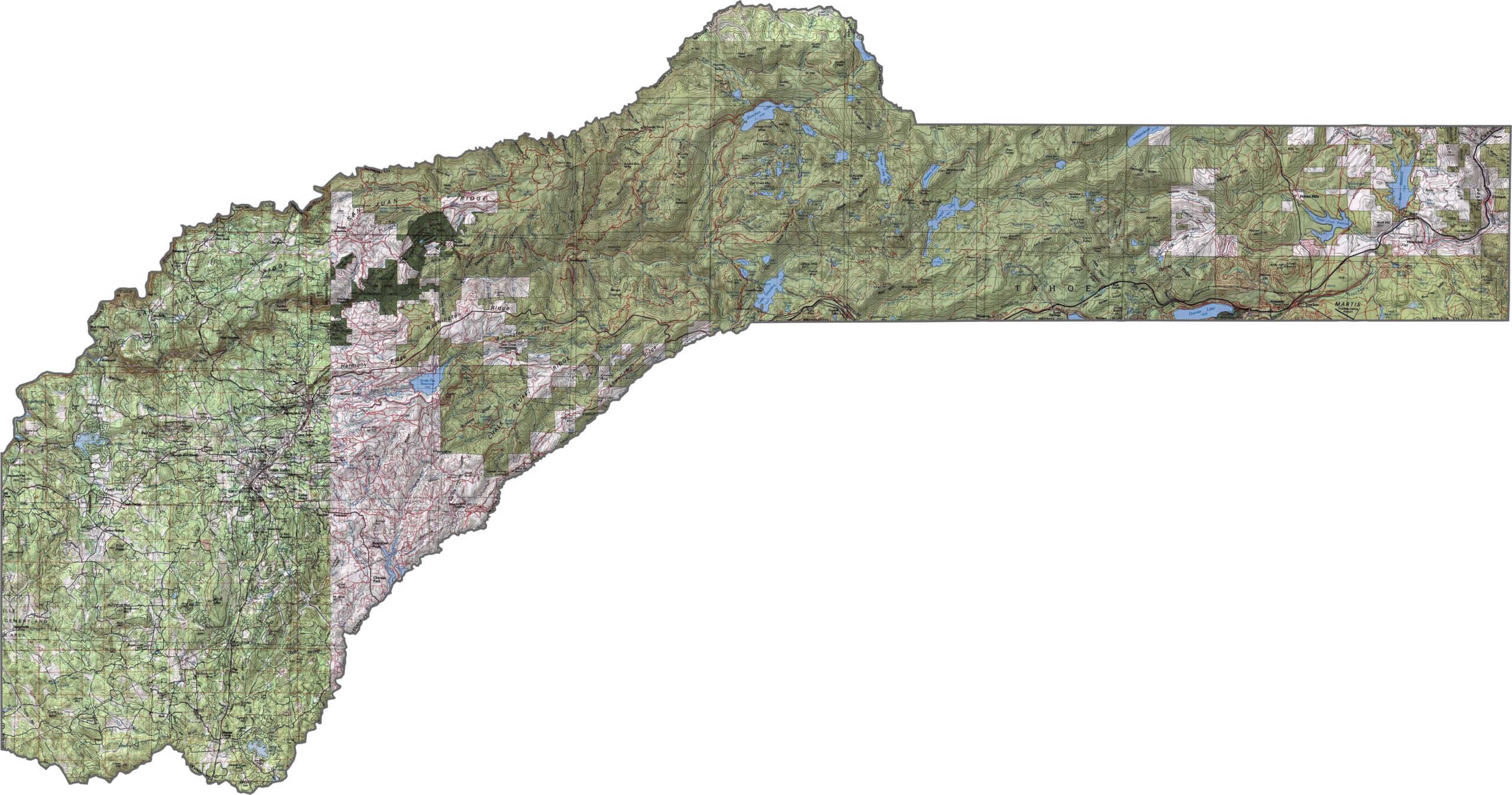
This topographic map highlights Nevada County’s forested western Sierra Nevada slopes. The detailed contours reveal the dramatic rise in elevation from the lower foothills toward the higher mountain terrain.
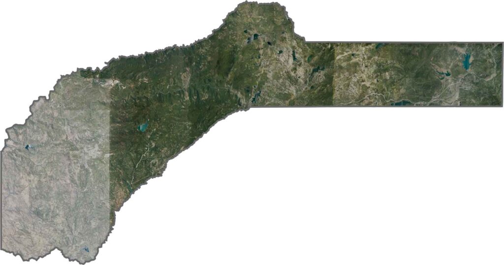
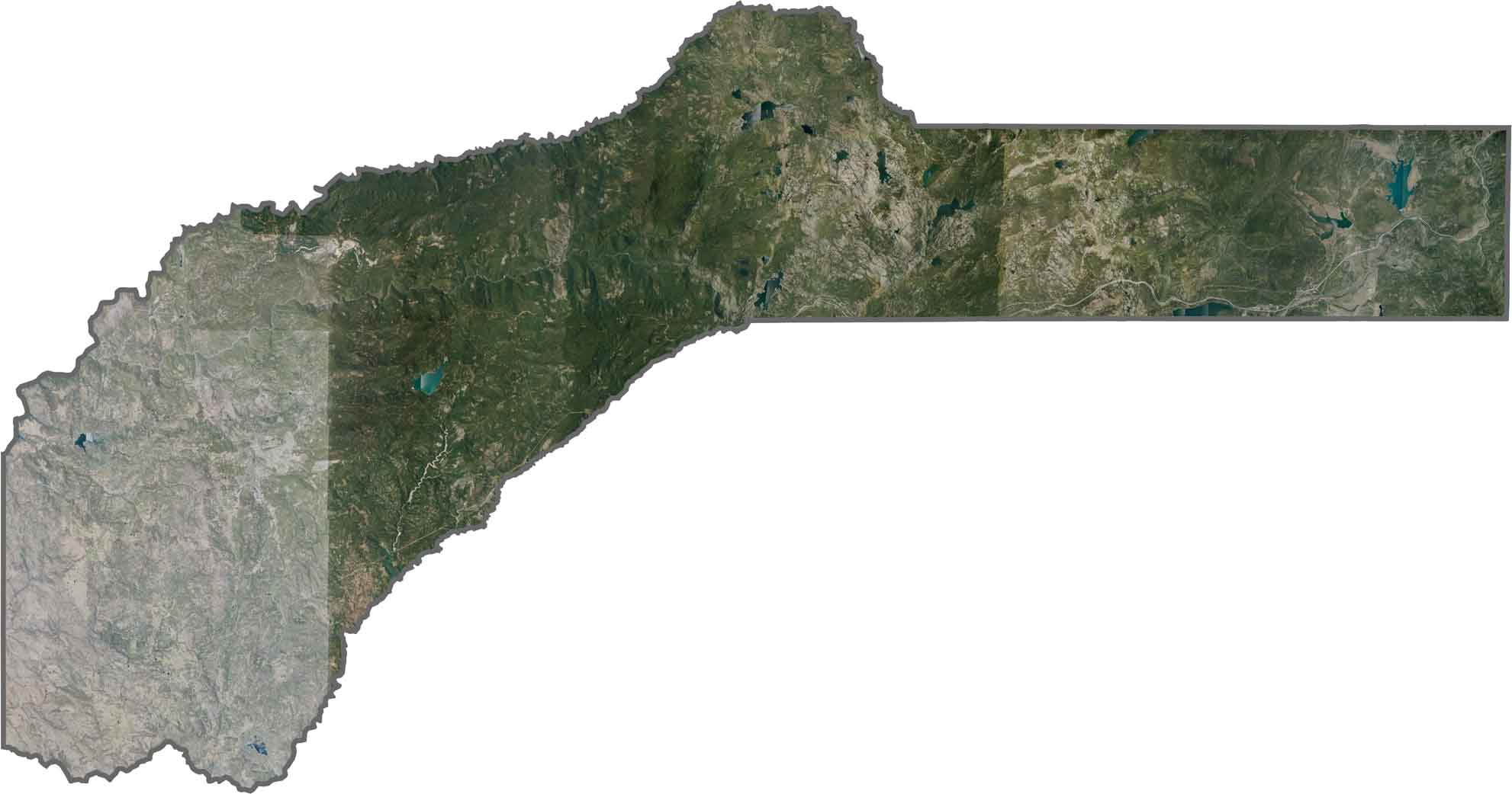
This satellite map shows increasing forest cover across Nevada County’s Sierra foothills and mountain slopes. Grass Valley and Nevada City appear as developed communities surrounded by predominantly natural landscapes.
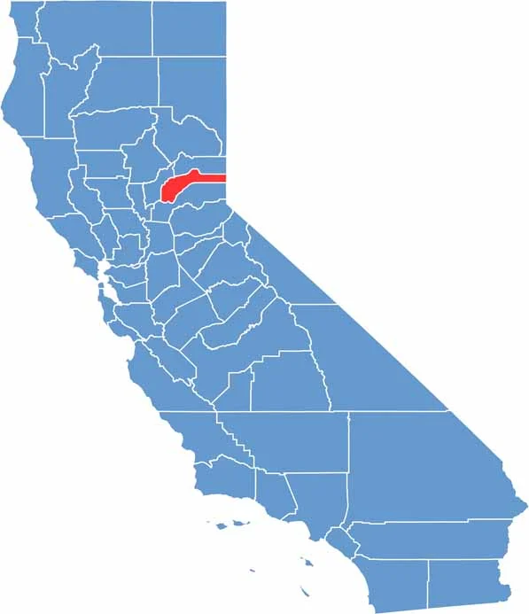
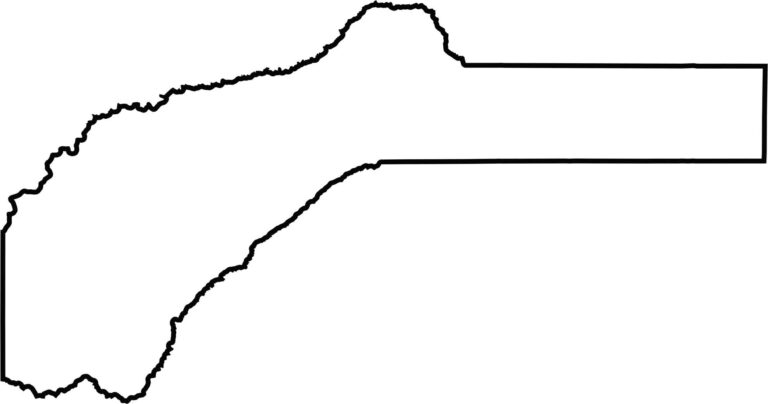
This blank map outlines Nevada County’s shape in the northern Sierra Nevada foothills. The eastern portion extends toward the California-Nevada state line near Lake Tahoe, emphasizing the county’s mountainous setting.








Ever wonder how California’s 58 counties are organized? Our California county map lays them all out, from the Pacific Coast to the vast desert regions. Explore the map to find the counties you know—and perhaps discover a few you don’t.