
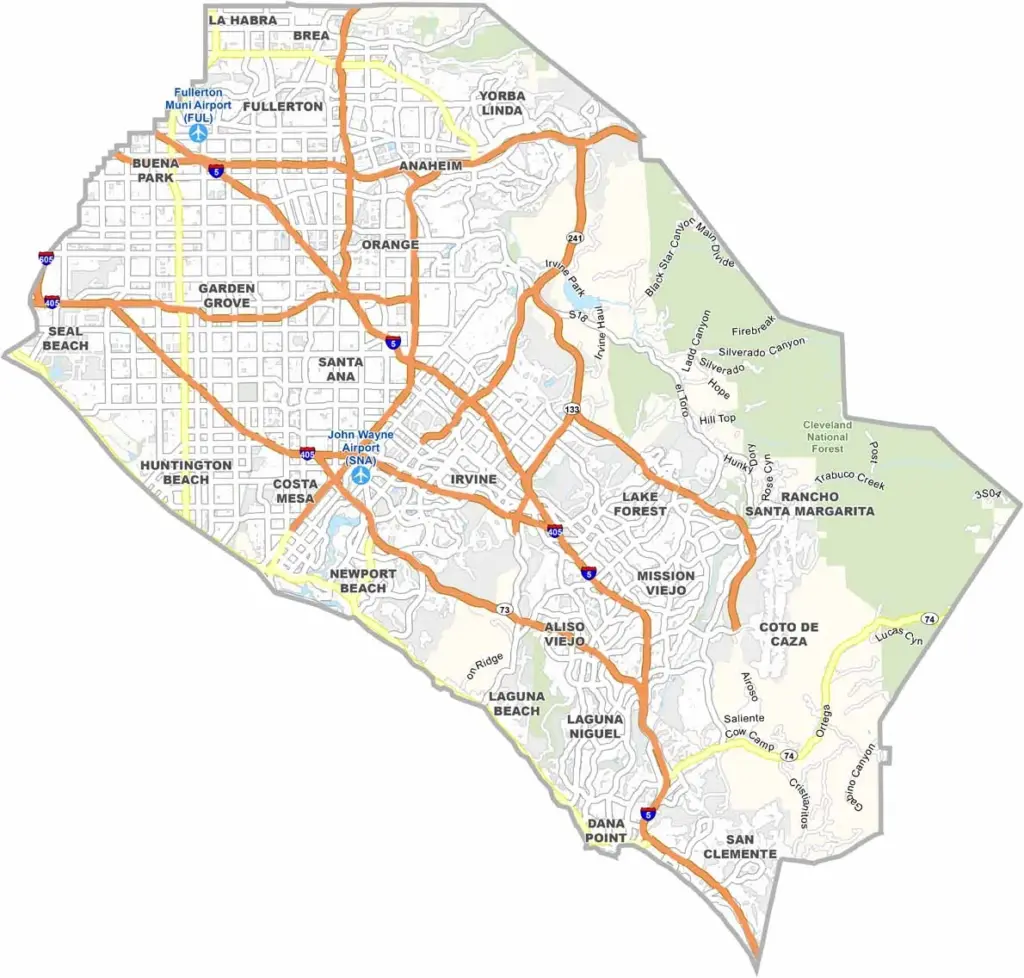
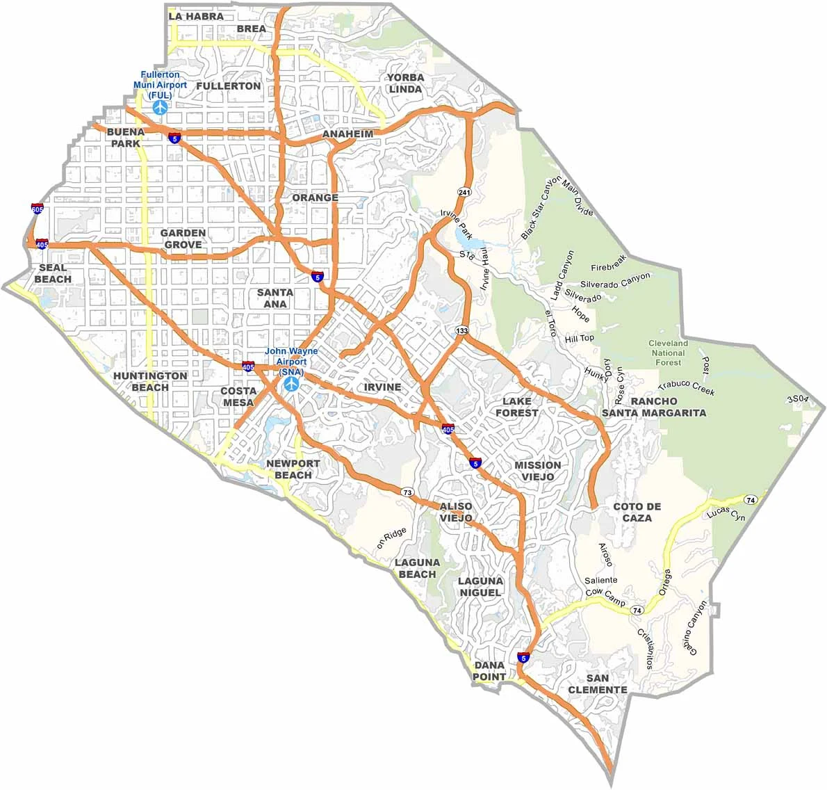
Orange County is located just south of Los Angeles and is famous for its sunny beaches, upscale communities, and laid-back coastal lifestyle. Anaheim is home to Disneyland, while beach cities such as Huntington Beach and Newport Beach attract surfers, visitors, and residents year-round.
With a population of nearly 3.2 million people, Orange County is densely populated but offers a wide variety of attractions and activities. The county also has a strong business and technology presence, with companies such as Blizzard Entertainment based in the region.
Traffic can be challenging, but that comes with life in Southern California. From theme parks and shopping districts to beautiful beaches and world-class surfing, Orange County captures much of the classic California lifestyle.
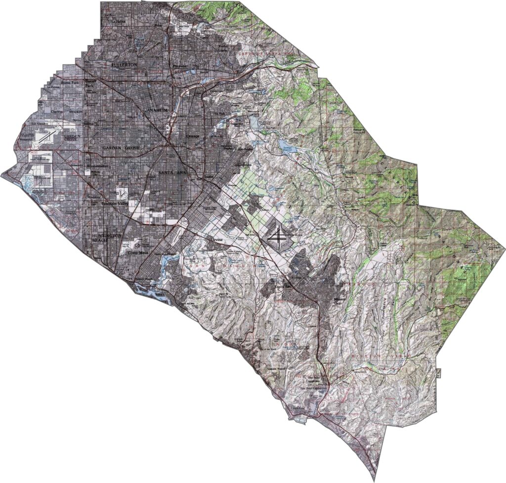
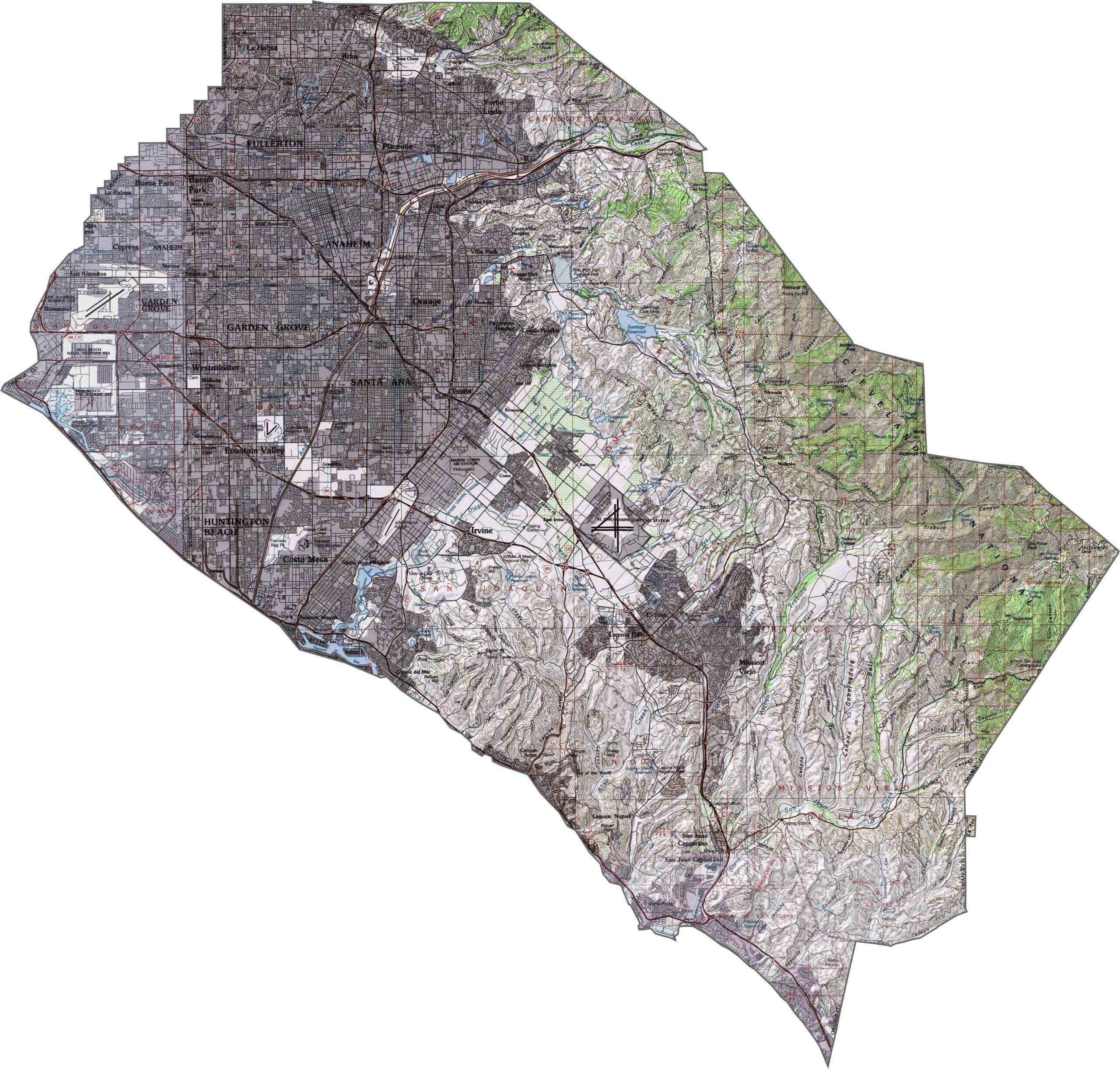
This topographic map highlights Orange County’s transition from coastal plains to inland hills and mountains. The detailed contours show the terrain rising from sea-level beaches to the Santa Ana Mountains in the eastern part of the county.
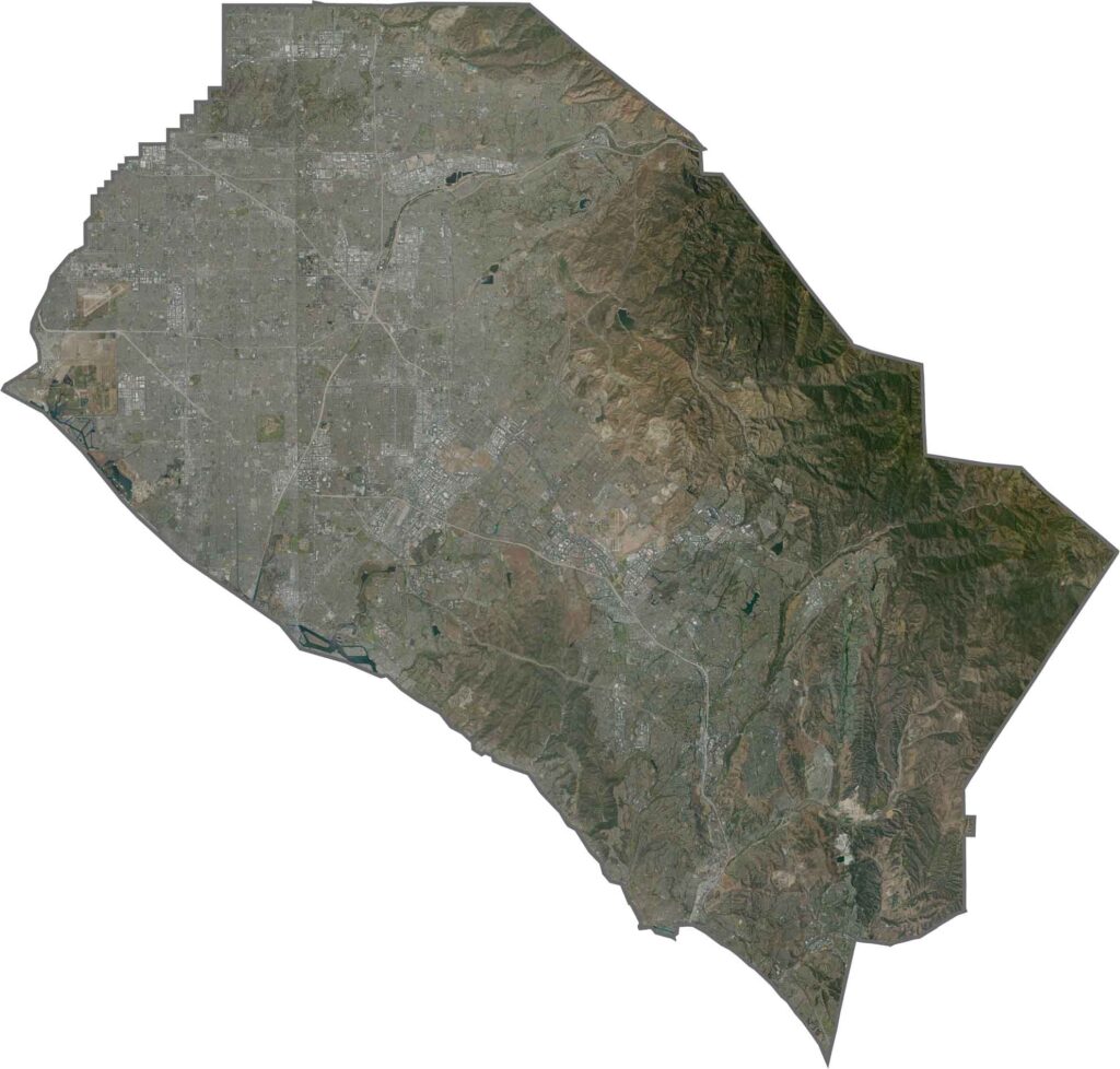
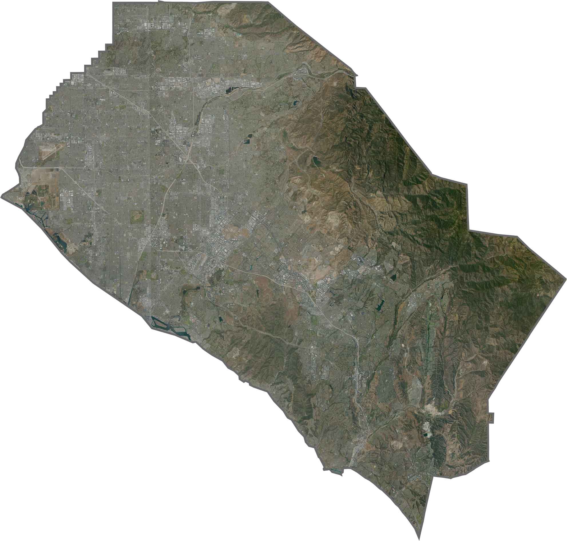
This satellite map reveals dense urban development across much of coastal Orange County. Beach communities line the Pacific shoreline, while inland areas show a clear contrast between developed valleys and the rugged Santa Ana Mountains.
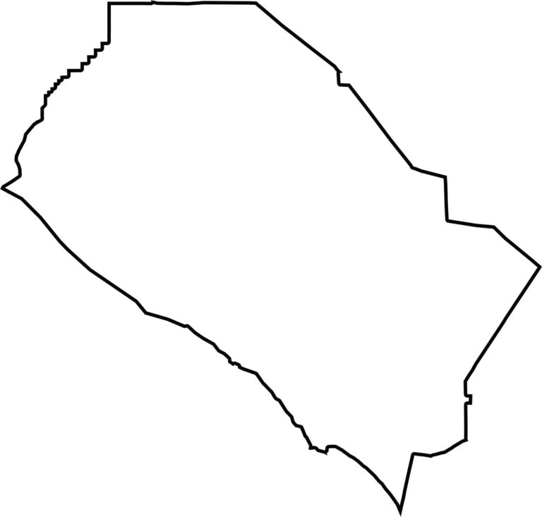
This blank map outlines Orange County’s distinctive wedge-shaped form along Southern California’s coast. The western boundary follows the Pacific shoreline, while the eastern portion extends into the county’s mountainous terrain.








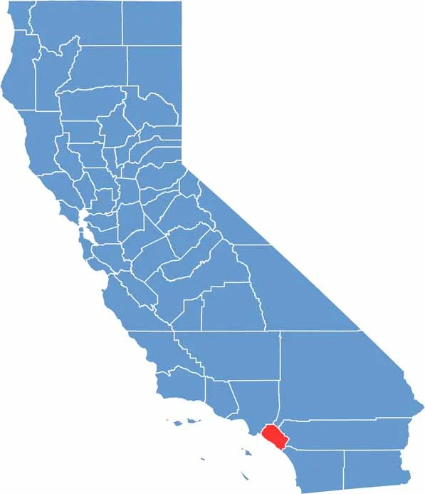
Ever wonder how California’s 58 counties are organized? Our California county map lays them all out, from the Pacific Coast to the vast desert regions. Explore the map to find the counties you know—and perhaps discover a few you don’t.