
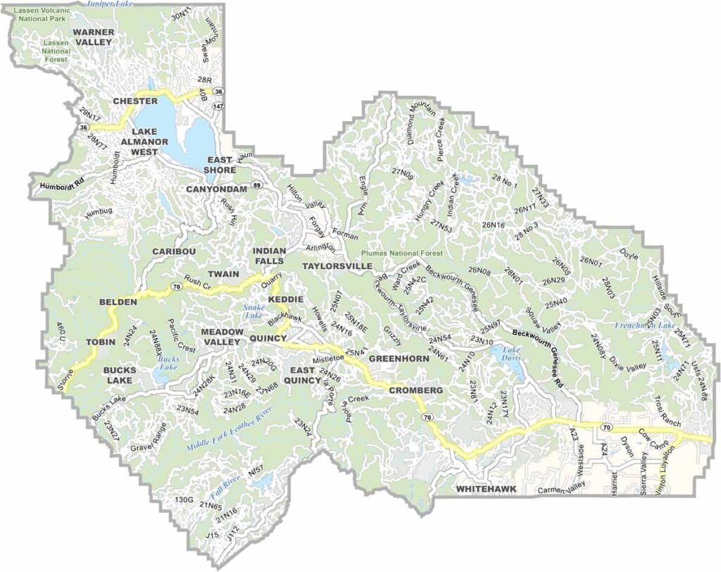
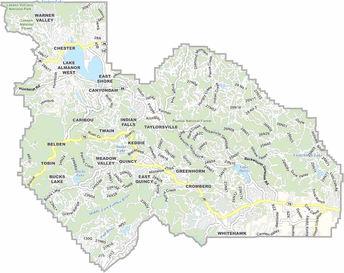
Plumas County is tucked into the northern Sierra Nevada, where dense forests and rugged mountains dominate the landscape. Quincy serves as the county seat and largest community, giving the sparsely populated county a quiet, small-town character.
Highway 70 winds through scenic mountain canyons and along the Feather River, offering beautiful views along the way. The county’s streams and rivers are also popular with anglers looking for excellent fishing spots.
Outdoor recreation is a major part of life in Plumas County. Hiking, fishing, and camping are just the beginning, while lakes such as Lake Almanor provide opportunities for boating and swimming during the summer. With vast forests and abundant wildlife, it’s the kind of place where seeing a bear near town wouldn’t be too surprising.
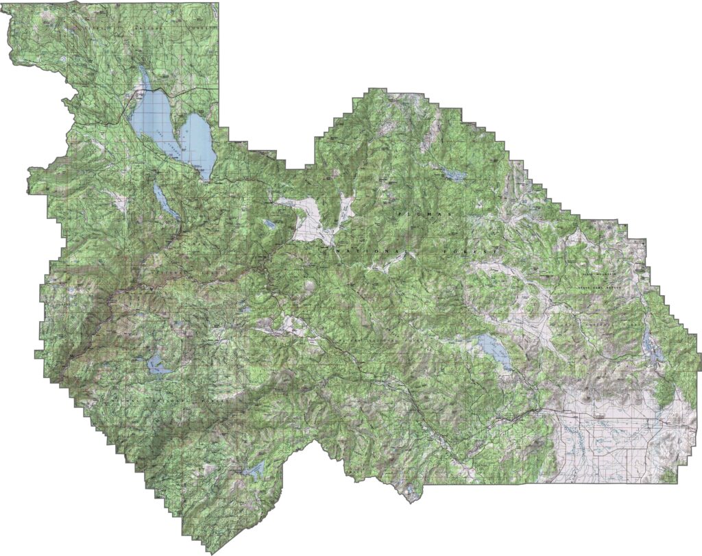
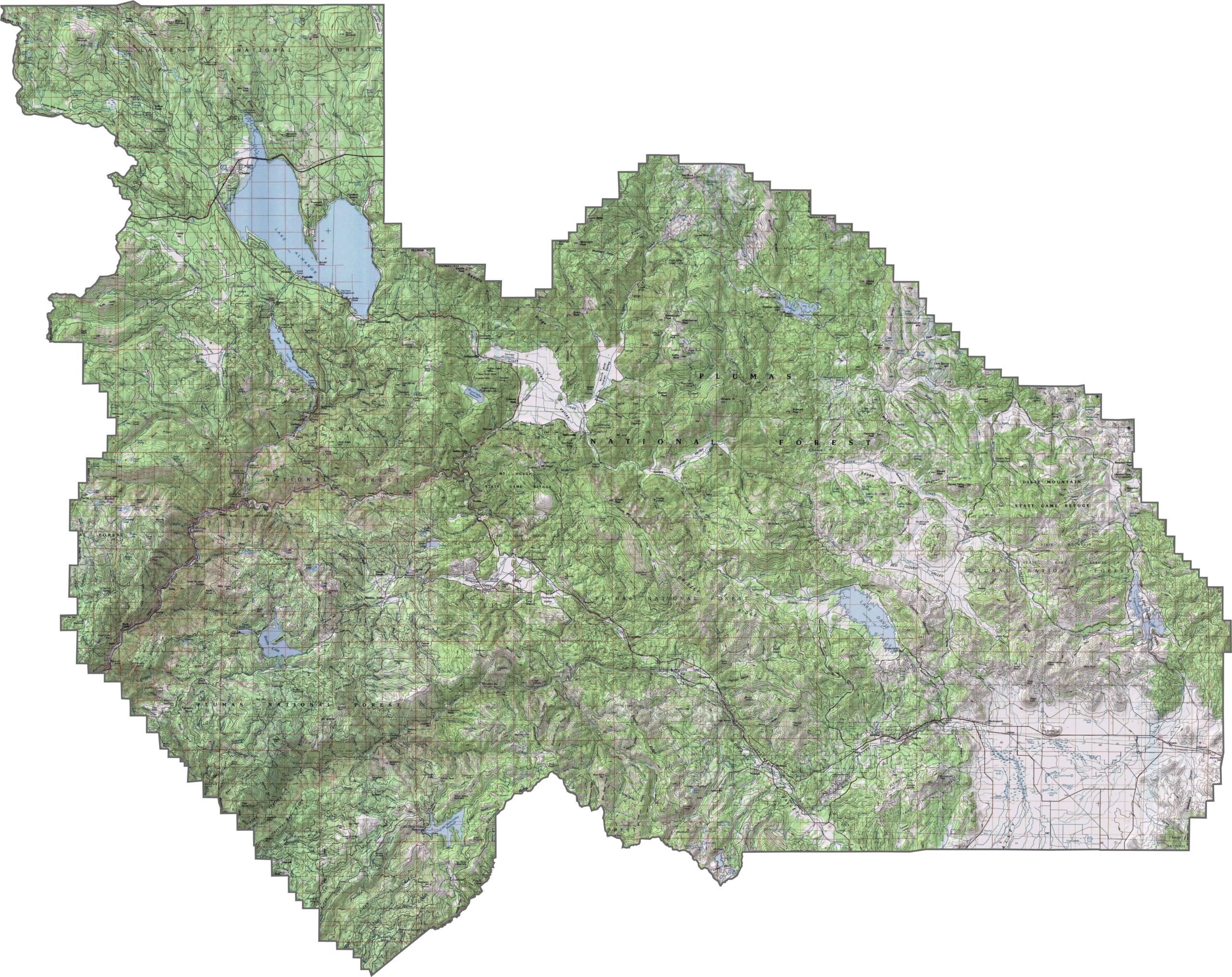
This topographic map highlights Plumas County’s rugged terrain in the northern Sierra Nevada. The detailed contours reveal deep river canyons, forested mountain slopes, and secluded alpine valleys throughout the county.
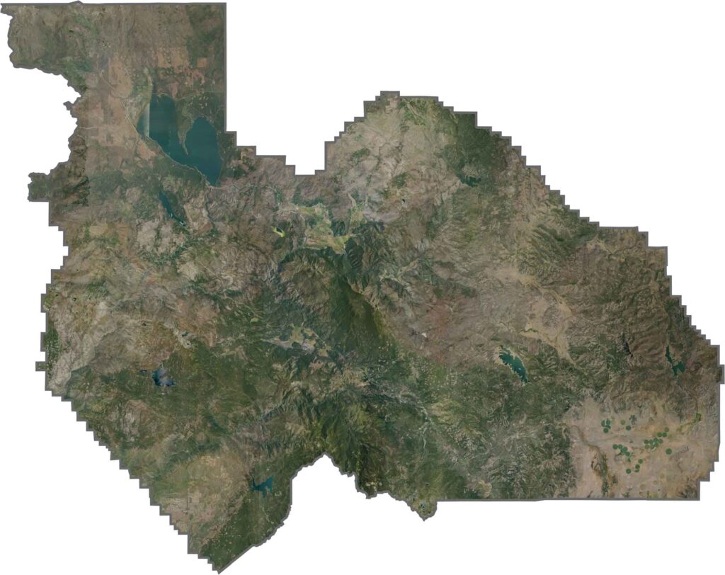
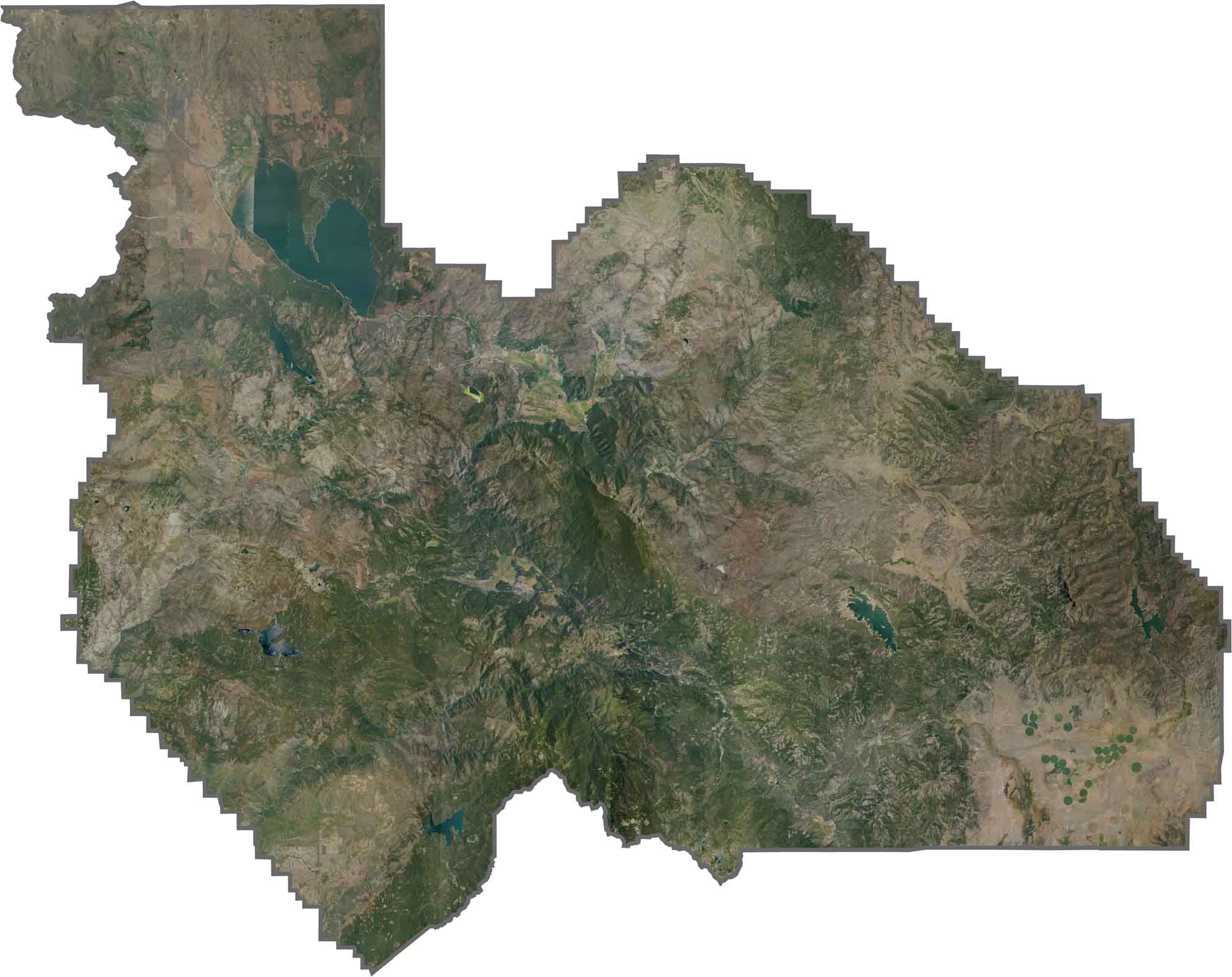
This satellite map shows Plumas County’s heavily forested mountains and alpine valleys forming a complex landscape. Quincy and other small communities appear as tiny clearings surrounded by vast stretches of wilderness.
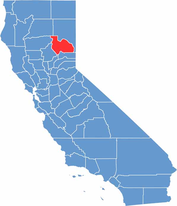
This blank map outlines Plumas County’s irregular shape in the northern Sierra Nevada. The simple template highlights the county’s forested setting between the Sacramento Valley and the Nevada state line.








Ever wonder how California’s 58 counties are organized? Our California county map lays them all out, from the Pacific Coast to the vast desert regions. Explore the map to find the counties you know—and perhaps discover a few you don’t.