
Queen Anne’s County offers a relaxed coastal atmosphere along Maryland’s Eastern Shore, just across the Chesapeake Bay Bridge. Its waterfront setting and peaceful surroundings give the county a distinctive Eastern Shore character.
The county is a popular destination for weekend getaways, thanks to its scenic waterfront views, quiet countryside, and picturesque byways. Visitors can enjoy the area’s natural scenery while exploring its coastal communities.
Small towns such as Centreville and Stevensville add a welcoming local character without putting visitors too far from larger cities. With the Chesapeake Bay nearby, boating and fishing remain popular pastimes throughout the county.
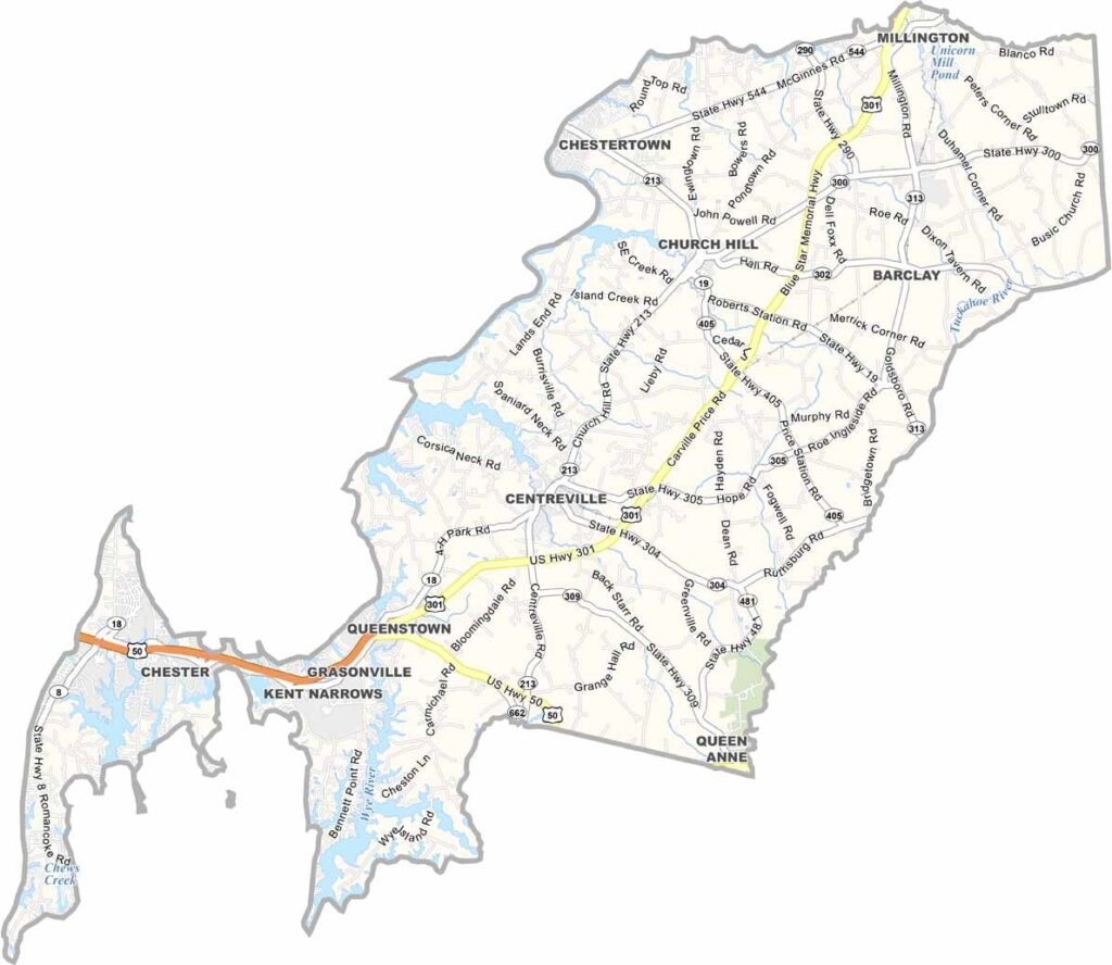
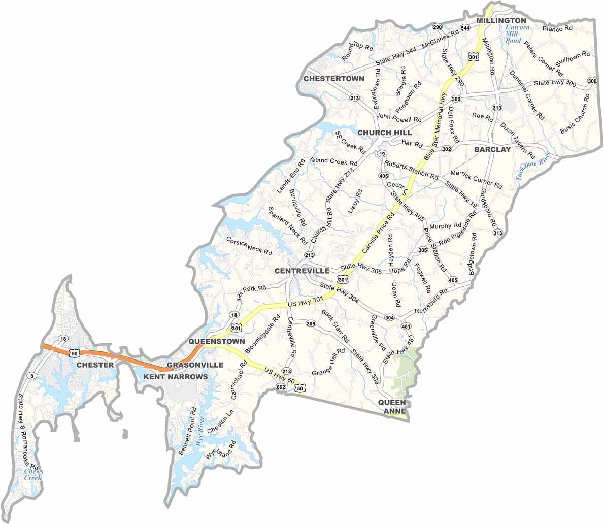
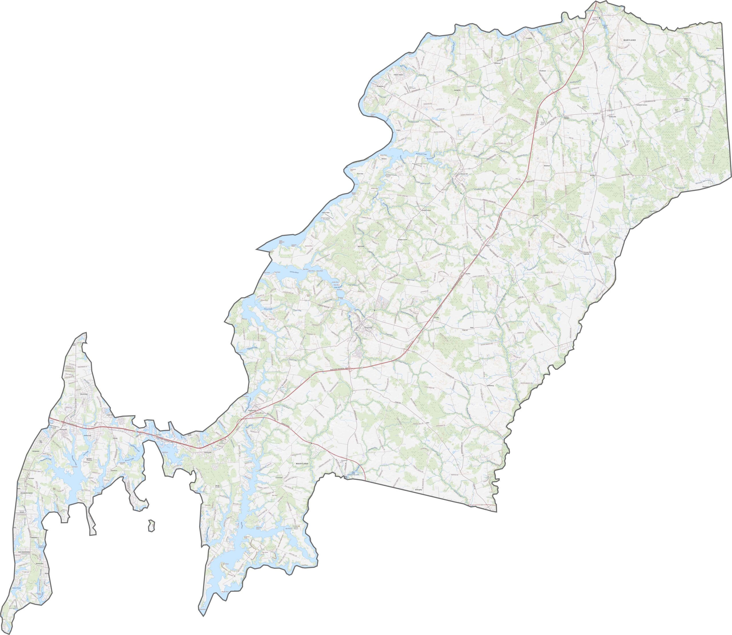
Our Queen Anne’s County road map highlights the area’s transportation network and major routes. The county is home to one of Maryland’s remaining toll bridges at Kent Narrows. Use the zoom tool to explore the road network and important connections in greater detail.
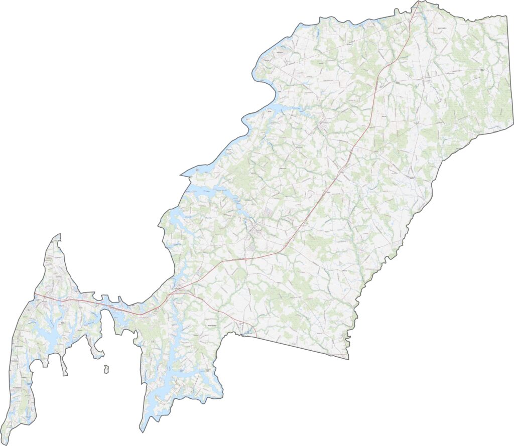
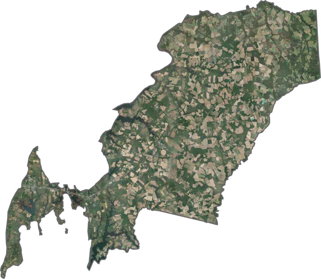
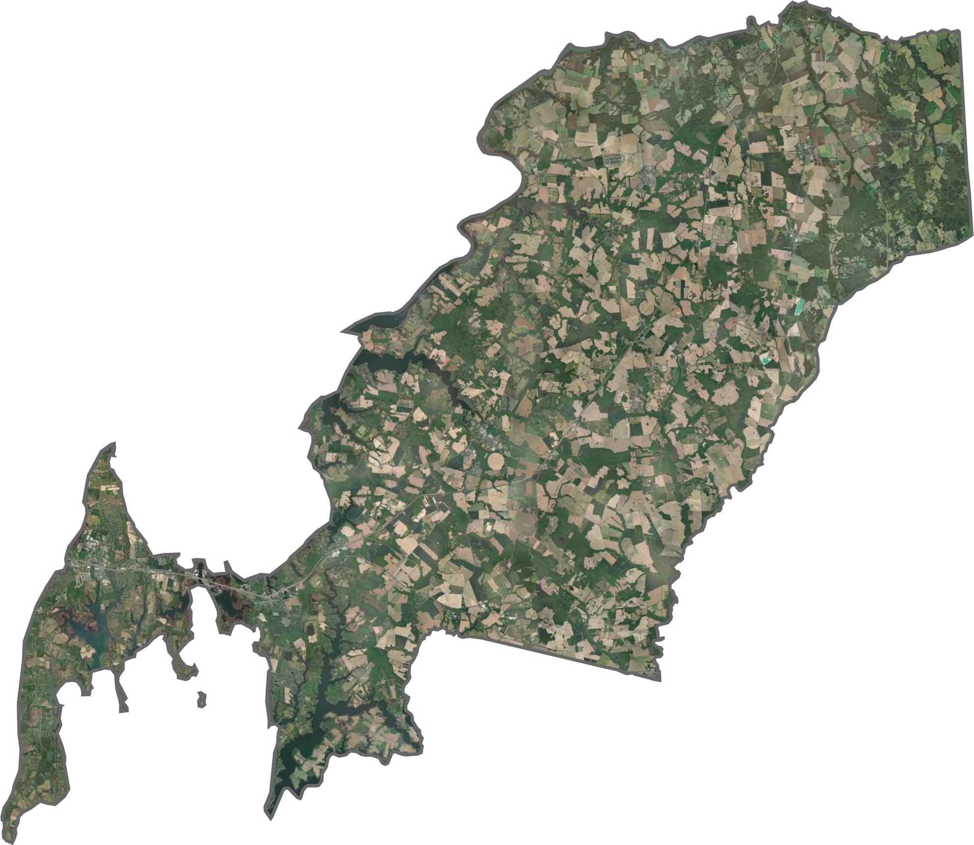
Our Queen Anne’s County satellite map reveals a clear contrast between wetlands in the west, open farmland across the central area, and dense forests toward the east. Historic communities such as Centreville stand out among the surrounding rural landscape.
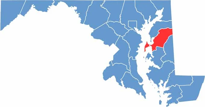
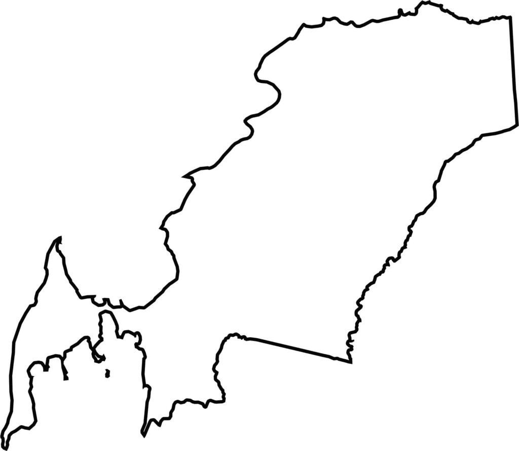
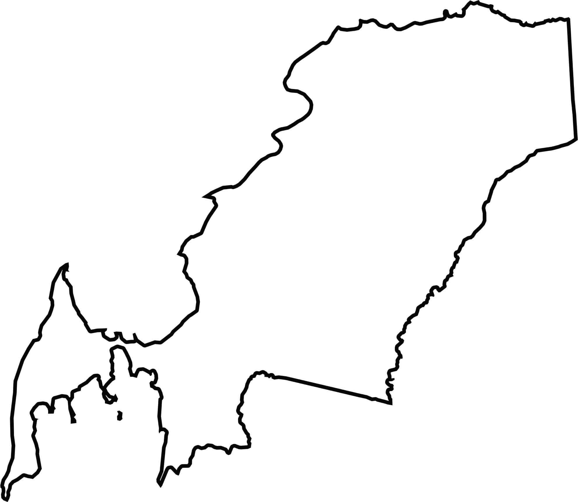
Queen Anne’s County occupies a central position on Maryland’s Eastern Shore, with water surrounding much of the county on three sides. To the east, the county shares a land border with Delaware, creating its distinctive geographic position.







With 23 counties and Baltimore City, Maryland offers a diverse mix of cities, small towns, rural communities, and scenic outdoor landscapes. From the Chesapeake Bay and coastal areas to historic towns and mountain regions, every part of the state has its own character. Explore our detailed Maryland county maps to learn more about the state’s counties, cities, roads, boundaries, and geographic features.