
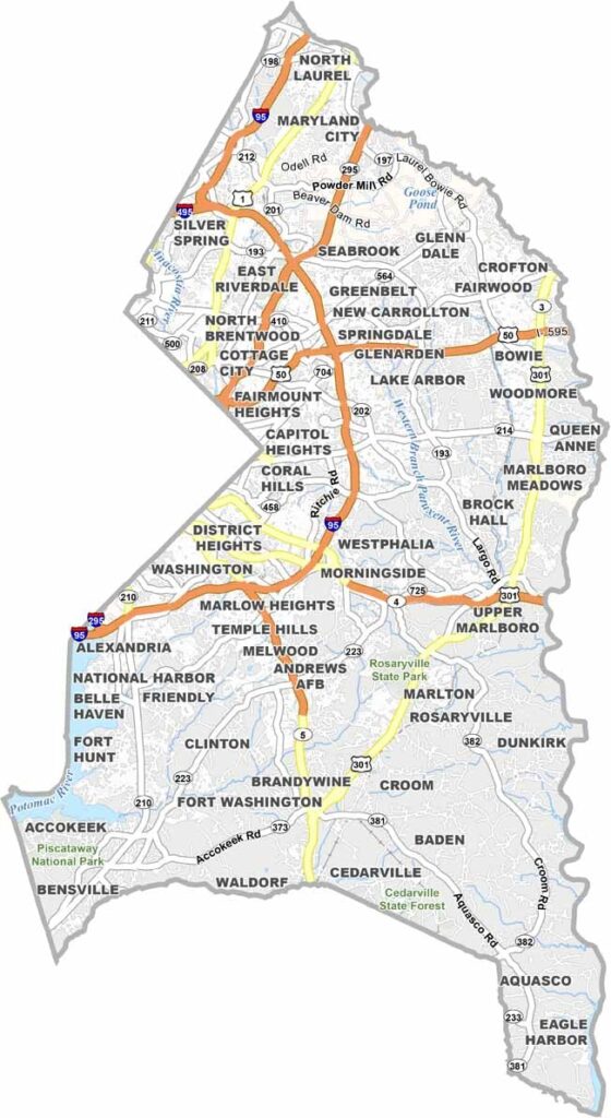
East of Washington, D.C., Prince George’s County is a vibrant part of Maryland with a strong connection to the nation’s capital. The county is home to the University of Maryland, a major center for education, research, and innovation.
Sports fans can visit FedEx Field to watch the Washington Commanders, while numerous parks and green spaces provide opportunities to enjoy the outdoors. The Anacostia River also flows through the county, adding an important natural feature to the landscape.
With multiple Metro stations, Prince George’s County offers convenient connections to Washington, D.C. and surrounding communities. National Harbor is another major destination, offering shopping, dining, entertainment, and waterfront views along the Potomac River.
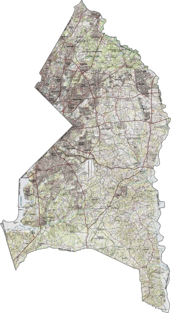
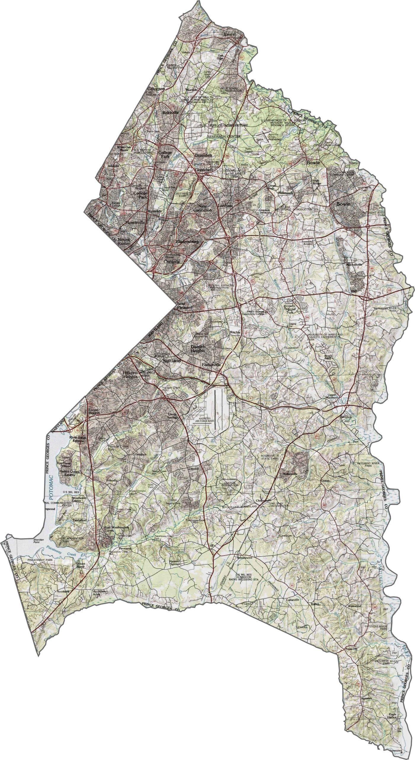
Prince George’s County is characterized by the mostly flat Coastal Plain, with gradual elevation changes toward the west. The Patuxent River forms a natural valley along the eastern edge, while urban development is concentrated near Washington, D.C. in the west and gradually gives way to agricultural land across other parts of the county.
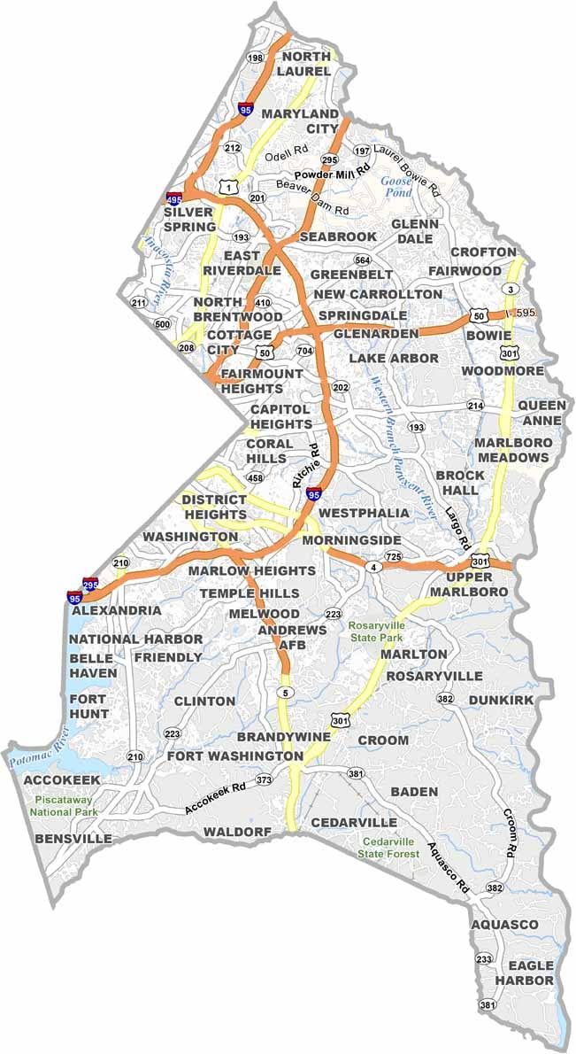
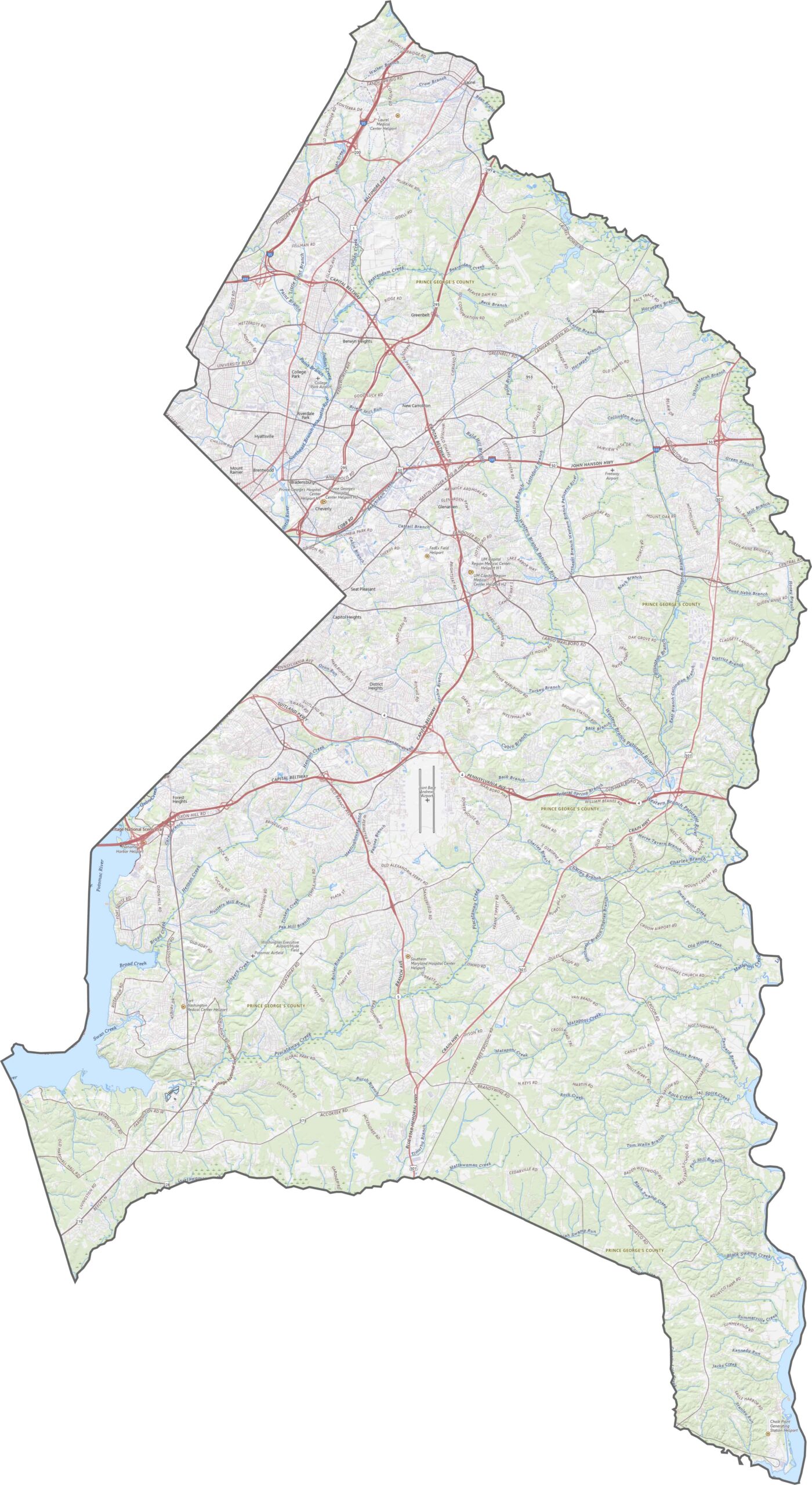
Our Prince George’s County road map highlights the major highways and roads serving the county. An interesting feature is the dual-span Wilson Bridge, which connects Maryland with Virginia. The county also has a high concentration of Metro stations, providing extensive transit connections outside Washington, D.C.
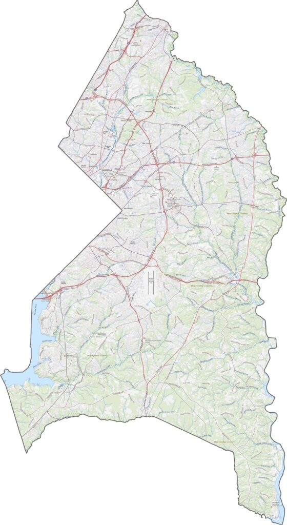
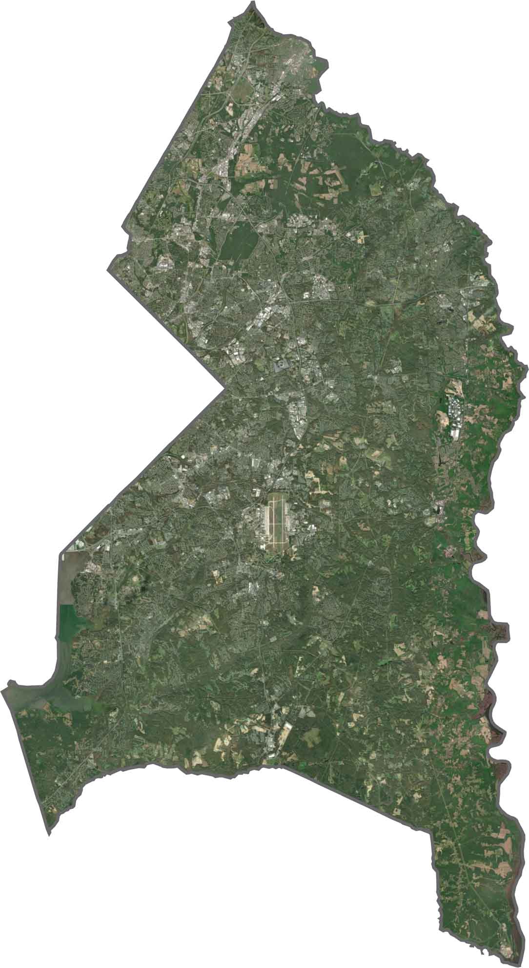
Our Prince George’s County satellite map highlights development patterns along major highways and transportation corridors. The Joint Base Andrews runway is one of the most prominent features visible from above, while large areas of protected parkland follow the Anacostia River and Patuxent River corridors.
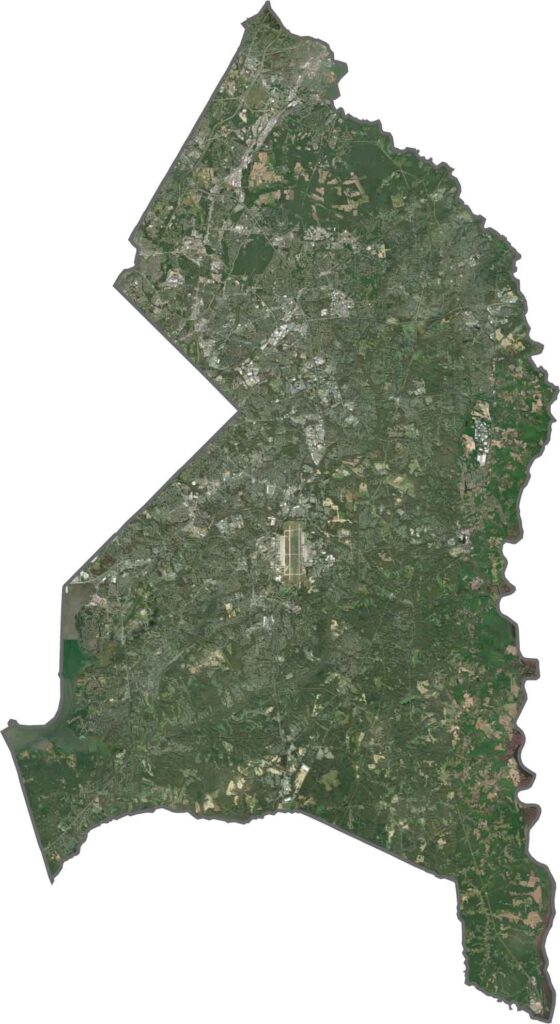
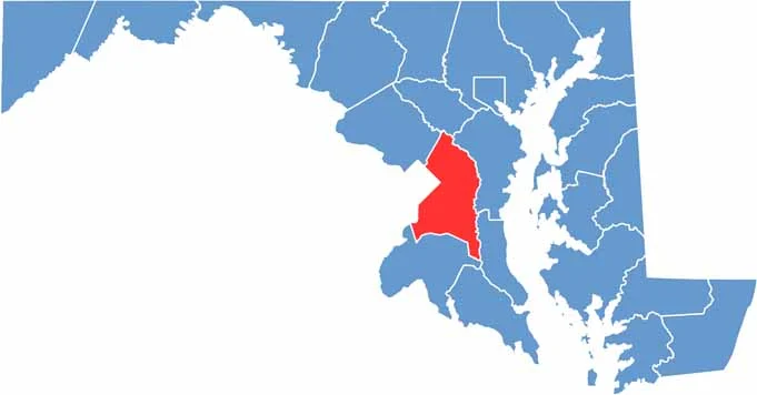
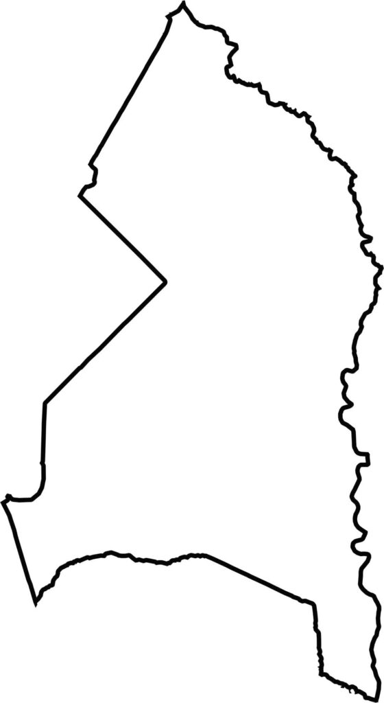
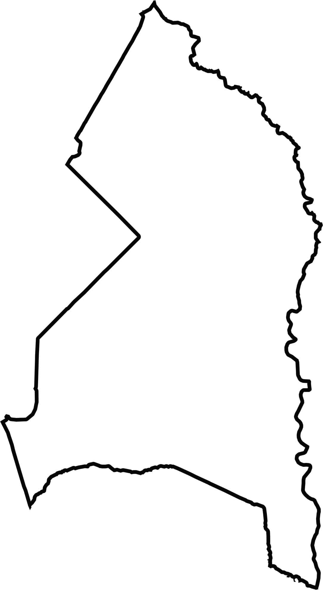
Prince George’s County borders Washington, D.C. to the west, while the Patuxent River forms much of its natural eastern boundary. The county’s position along the capital region gives it a distinctive shape and close geographic connection to Washington, D.C.







With 23 counties and Baltimore City, Maryland offers a diverse mix of cities, small towns, rural communities, and scenic outdoor landscapes. From the Chesapeake Bay and coastal areas to historic towns and mountain regions, every part of the state has its own character. Explore our detailed Maryland county maps to learn more about the state’s counties, cities, roads, boundaries, and geographic features.