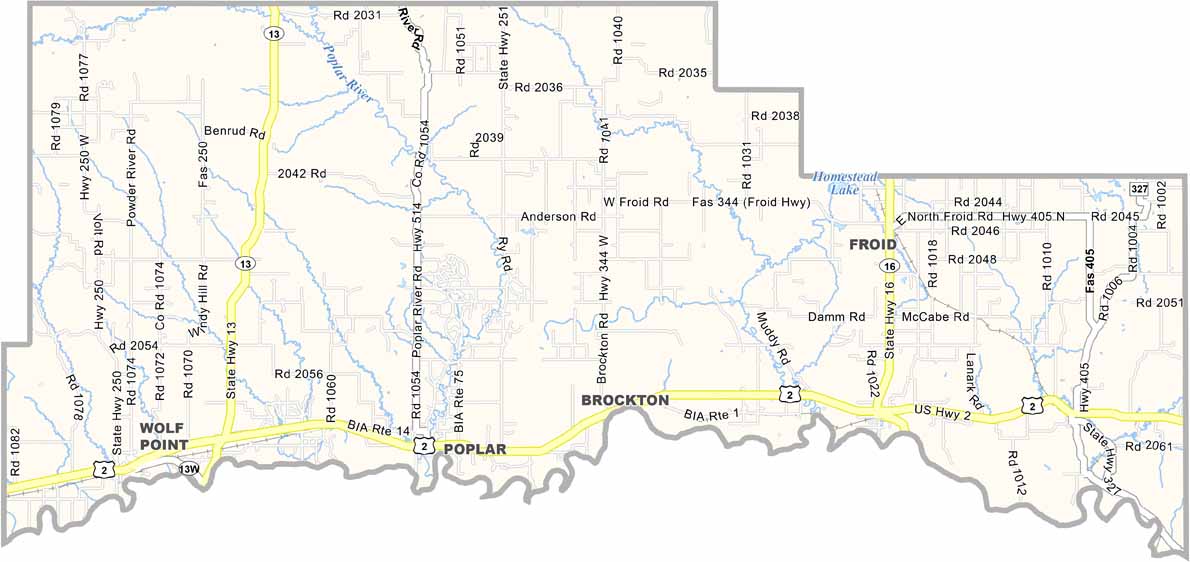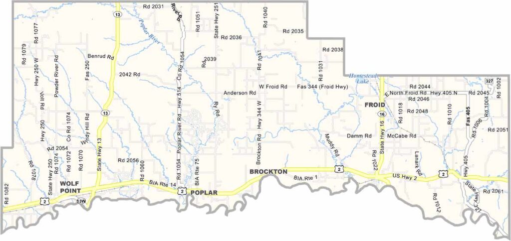
Roosevelt County, Montana

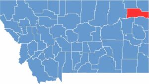
Roosevelt County lies in the northeastern corner of Montana, along the North Dakota border. Wolf Point, in the southwest, serves as the county seat. The Missouri River has carved its path along the southern border.

The county is home to the Wild Horse Stampede, Montana’s oldest rodeo. You’ll find a mix of cultures here, with ranchers living alongside members of the Fort Peck Assiniboine and Sioux Tribes, whose reservation covers much of the county.

Oil and agriculture drive the local economy, but it’s the strong sense of community that keeps people rooted. Visitors may be surprised by the area’s natural beauty, which includes badland formations and cottonwood-lined creeks. Life moves a little slower in Roosevelt County.

CategoryDetails
County NameRoosevelt County
County SeatWolf Point
EtymologyNamed after Theodore Roosevelt, the 26th President of the United States
Cities, Towns, and CommunitiesWolf Point, Poplar, Culbertson, Bainville, Brockton, Froid
Interstates and HighwaysUS 2, MT 16, MT 13
FIPS Code30-085
Total Area (Land and Water)2,370 square miles (Land: 2,355 sq mi, Water: 15 sq mi)
Adjacent Counties (and Direction)Daniels County (Northwest), Sheridan County (Northeast), Williams County, North Dakota (East), McKenzie County, North Dakota (Southeast), Richland County (South), McCone County (Southwest), Valley County (West)
Time ZoneMountain Time Zone (MT)
StateMontana
Coordinates48.1343° N, 105.0066° W
Major LandmarksFort Peck Indian Reservation, Missouri River, Wolf Point Bridge
PopulationApproximately 11,000
Scroll to Top