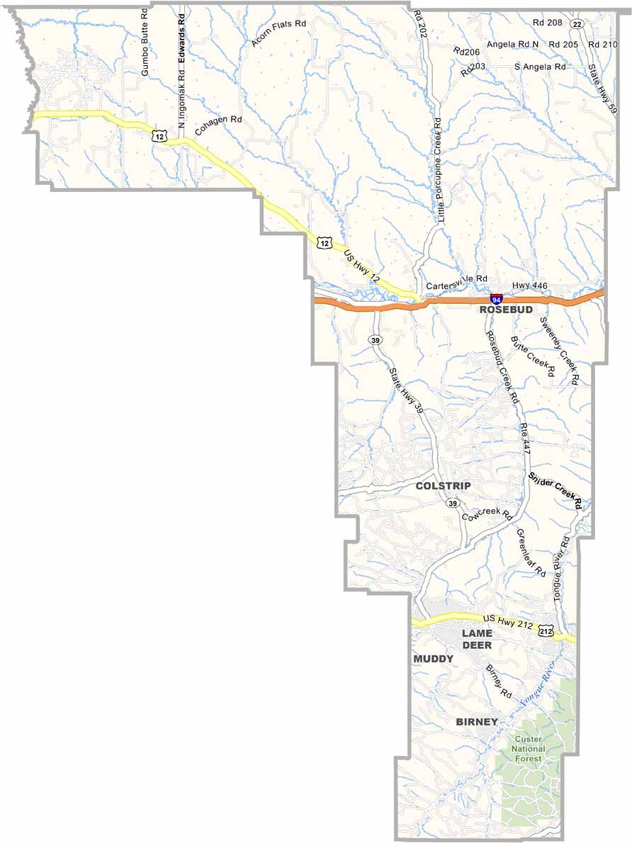
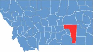
Rosebud County, Montana

Big skies and rolling prairies define southeastern Montana, where you’ll find Rosebud County. This sprawling region is larger than some U.S. states and ranks as the fourth-largest county in Montana. It’s home to just over 8,000 people.

Ranching rules here. Forsyth, the county seat, sits along the Yellowstone River and serves as the area’s main hub. It’s also located along Interstate 94, near the community of Rosebud.

History buffs will enjoy Rosebud Battlefield State Park, which preserves the site of a key 1876 battle. Coal mining played a major role in the county’s development, but these days, wind farms are beginning to appear along the horizon.

CategoryDetails
County NameRosebud County
County SeatForsyth
EtymologyNamed after the Rosebud River, which flows through the county
Cities, Towns, and CommunitiesForsyth, Colstrip, Lame Deer, Ashland, Rosebud
Interstates and HighwaysI-94, MT 39, MT 59
FIPS Code30-087
Total Area (Land and Water)5,027 square miles (Land: 5,010 sq mi, Water: 17 sq mi)
Adjacent Counties (and Direction)Petroleum County (Northeast), Garfield County (North), Yellowstone County (West), Musselshell County (West), Custer County (East), Treasure County (Southwest), Big Horn County (South), Powder River County (Southeast)
Time ZoneMountain Time Zone (MT)
StateMontana
Coordinates46.2846° N, 106.6671° W
Major LandmarksNorthern Cheyenne Indian Reservation, Tongue River Reservoir State Park, Rosebud Battlefield State Park
PopulationApproximately 8,000
Scroll to Top