
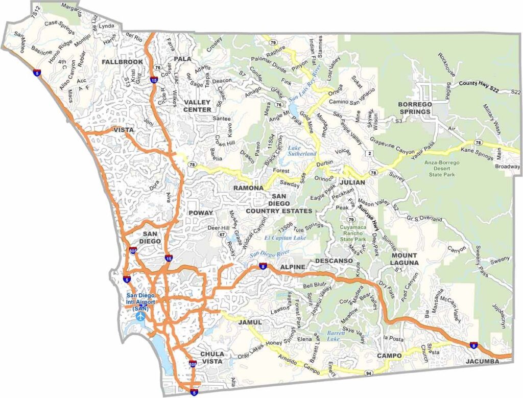
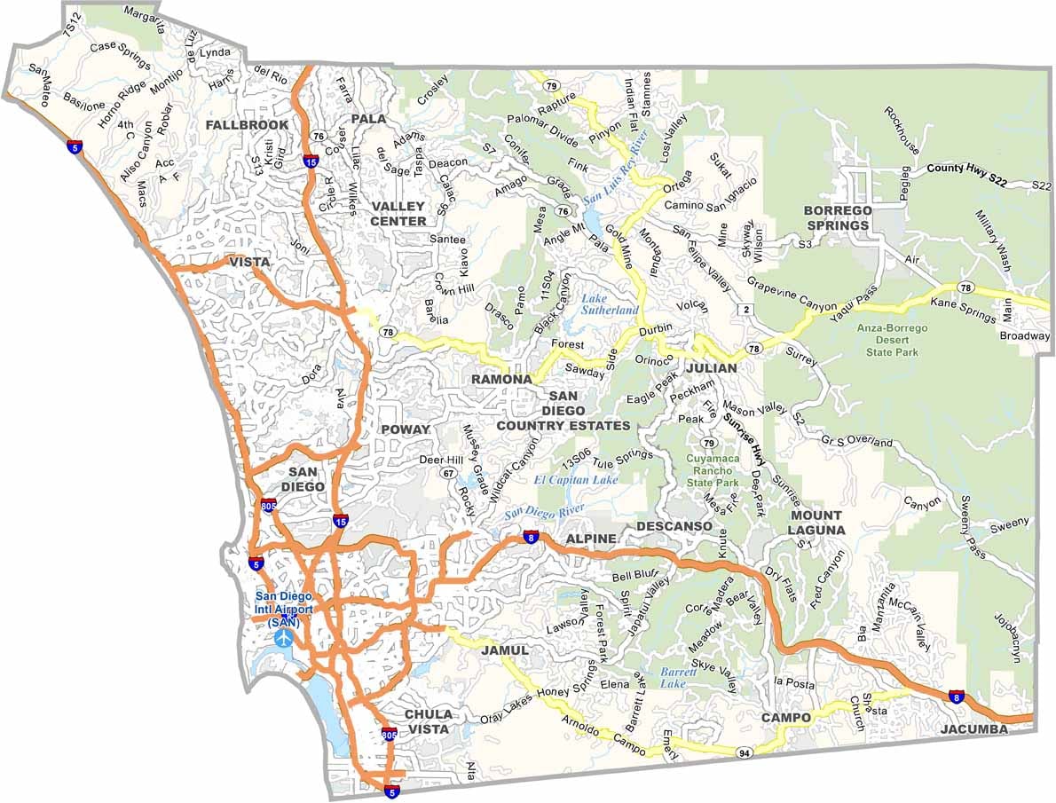
San Diego County is in the southwestern corner of California, stretching from the Pacific coast to the mountains and deserts farther inland. The city of San Diego is famous for its beautiful beaches, world-renowned zoo, and thriving craft beer scene. The county’s diverse geography includes coastal plains, rugged mountains, and desert landscapes.
East County has a more rural character, with mountains and desert communities spread across the region. San Diego County also has a major military presence, with large Navy and Marine Corps installations. Interstate 5 follows the coast, making it easy to travel between places such as the cliffs of La Jolla and the surf communities of Encinitas.
With a population of more than 3.2 million people, San Diego County is one of California’s most populous counties. Its mild, sunny climate is another major attraction, offering comfortable weather throughout much of the year. With beaches, mountains, deserts, and vibrant communities, San Diego County has a little bit of everything.
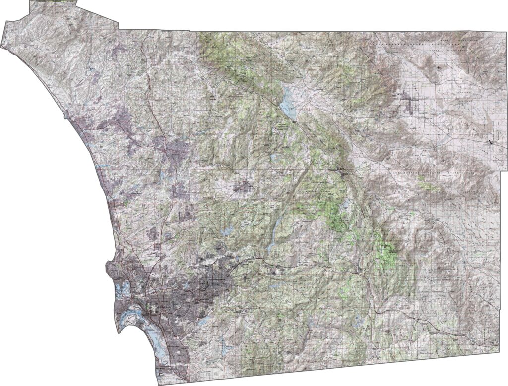
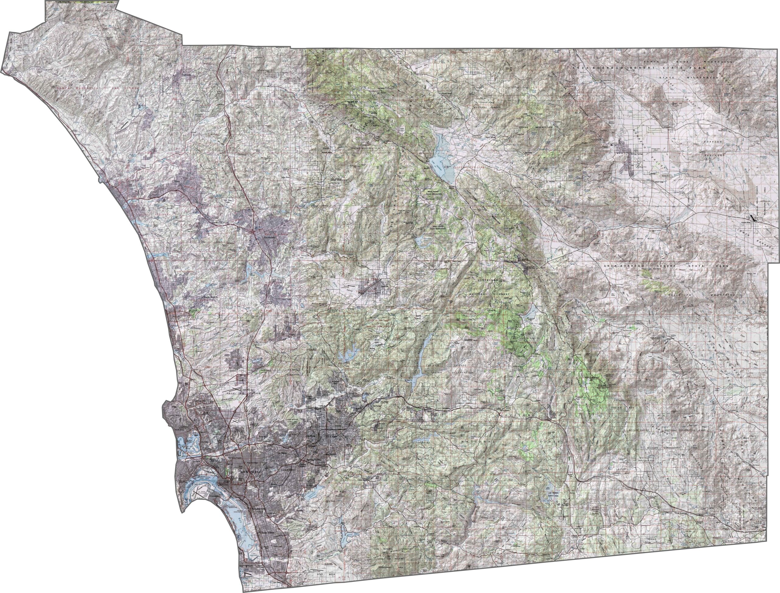
This topographic map highlights San Diego County’s transition from coastal plains to rugged mountain ranges. The detailed contours show beaches, foothills, and peaks rising above 6,000 feet in the eastern portions of the county.
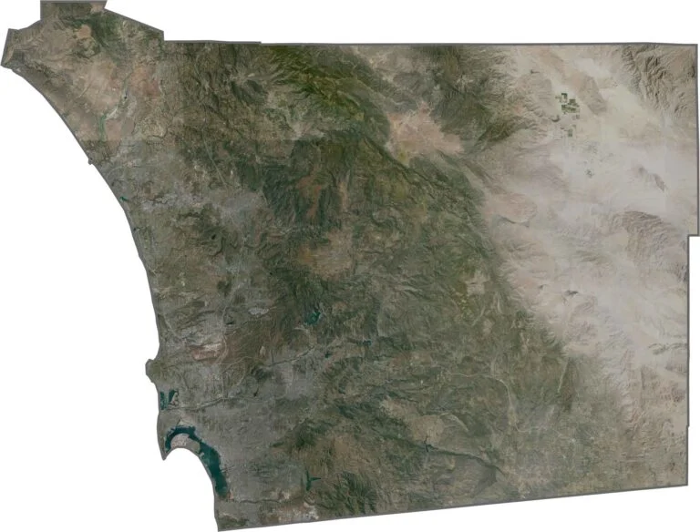
This satellite map reveals the transition from developed coastal areas to inland mountains and valleys. Canyons cut through the urban landscape, creating distinctive patterns that are clearly visible from above.
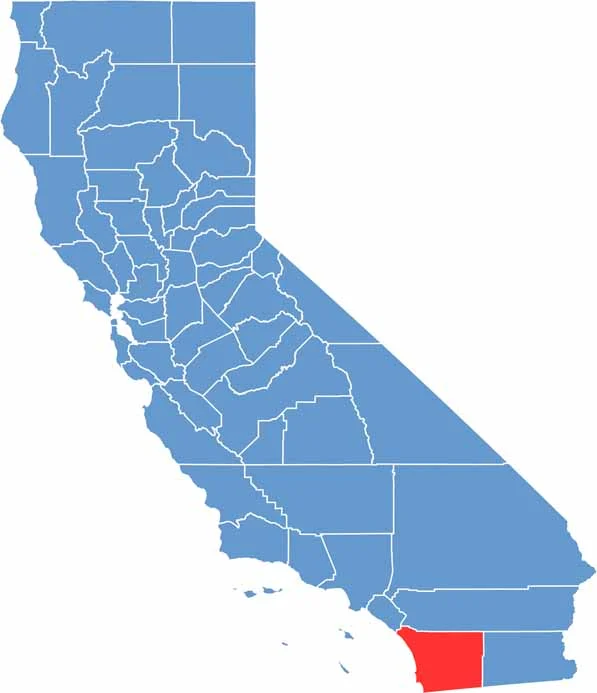
This blank map outlines San Diego County’s shape in the southwestern corner of California. The southern boundary follows the Mexican border, while the western edge borders the Pacific Ocean.










Ever wonder how California’s 58 counties are organized? Our California county map lays them all out, from the Pacific Coast to the vast desert regions. Explore the map to find the counties you know—and perhaps discover a few you don’t.