
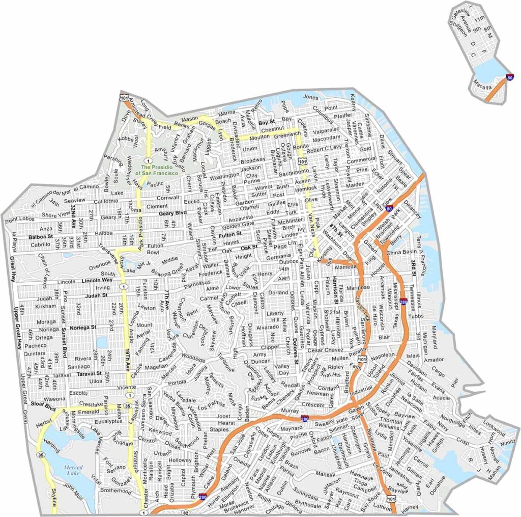
San Francisco County is tiny in size because it consists entirely of the city of San Francisco. Despite its compact footprint, it is famous for its iconic hills, historic cable cars, and the Golden Gate Bridge.
Each neighborhood has its own distinct character, from the lively Mission District to the elegant streets of Pacific Heights. The cost of living is high, but the city offers an endless variety of restaurants, cultural attractions, and entertainment.
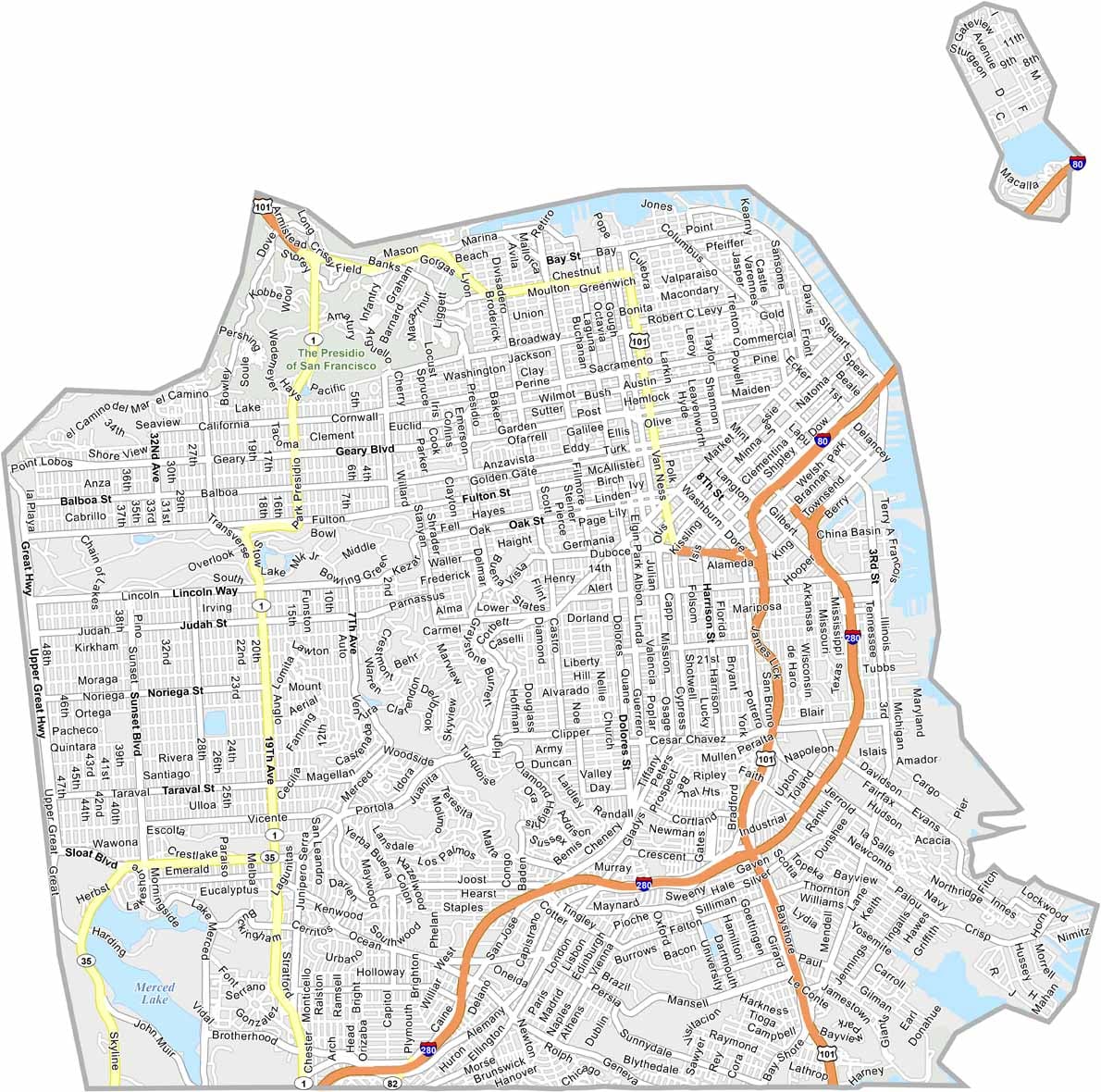
With a population of more than 800,000 people, San Francisco is one of the most densely populated cities in the United States. Interstate 280 and U.S. Highway 101 are the main routes connecting the city with the surrounding Bay Area.
Major attractions include Fisherman’s Wharf, Golden Gate Park, and Lombard Street. Although San Francisco can be crowded and hectic, its unique combination of neighborhoods, landmarks, hills, and waterfront scenery makes it unlike anywhere else.
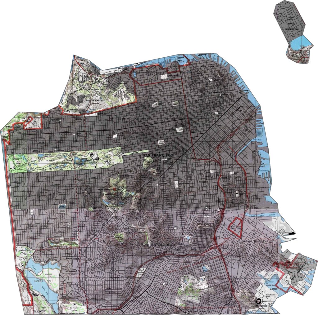
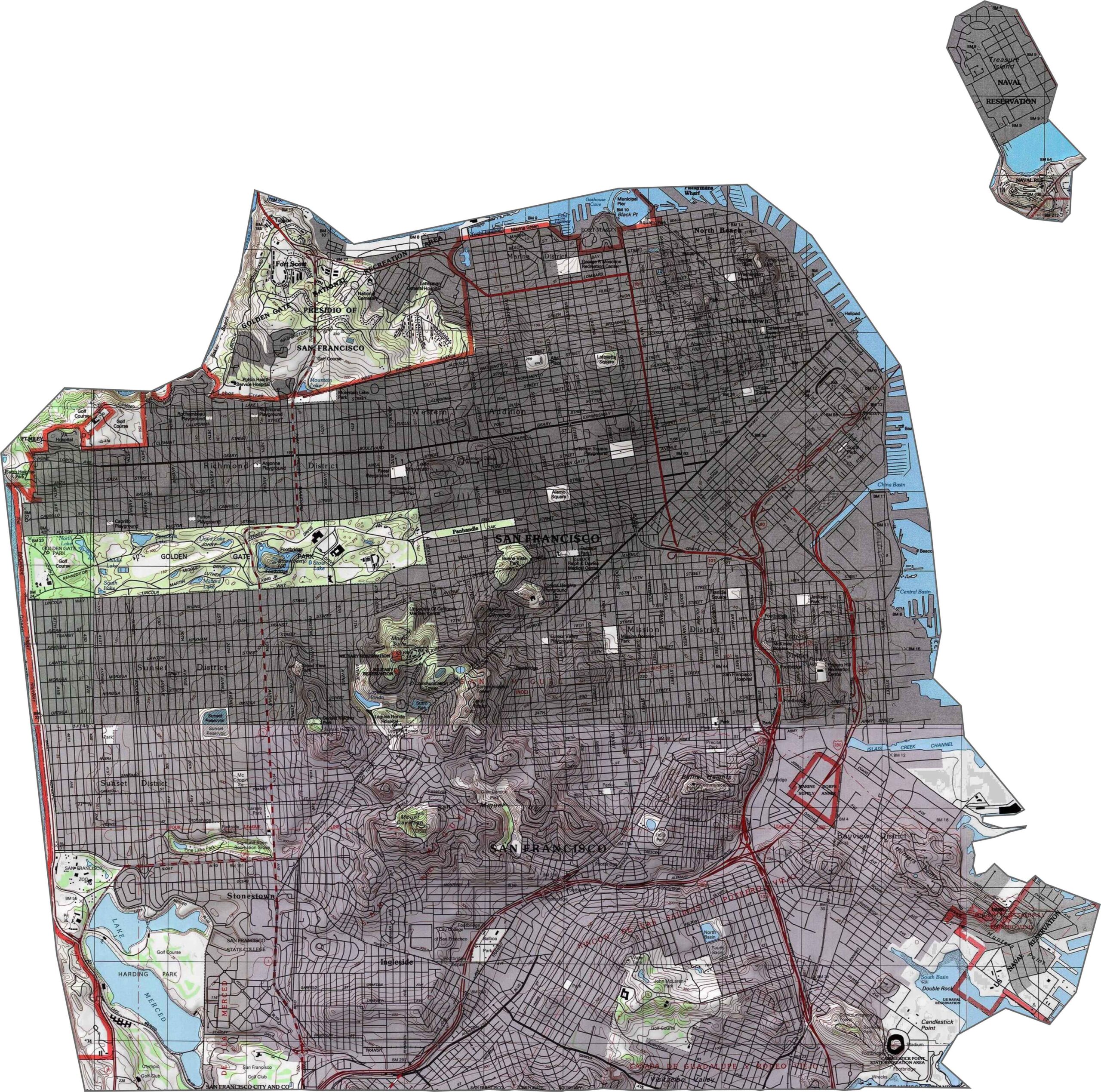
This topographic map highlights San Francisco County’s hilly peninsula landscape, with numerous hills and ridges rising from the surrounding shoreline. The detailed contours reveal the dramatic elevation changes across this compact urban county.
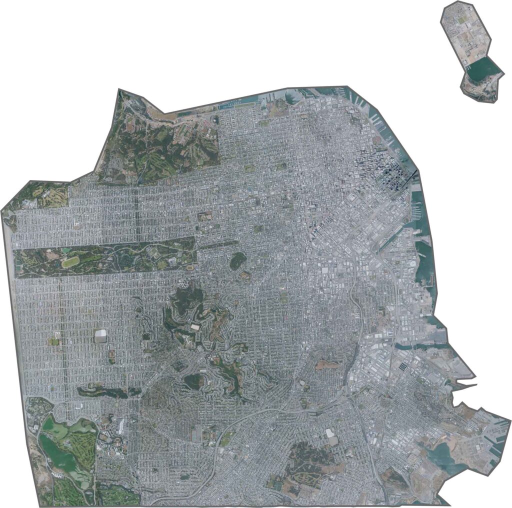
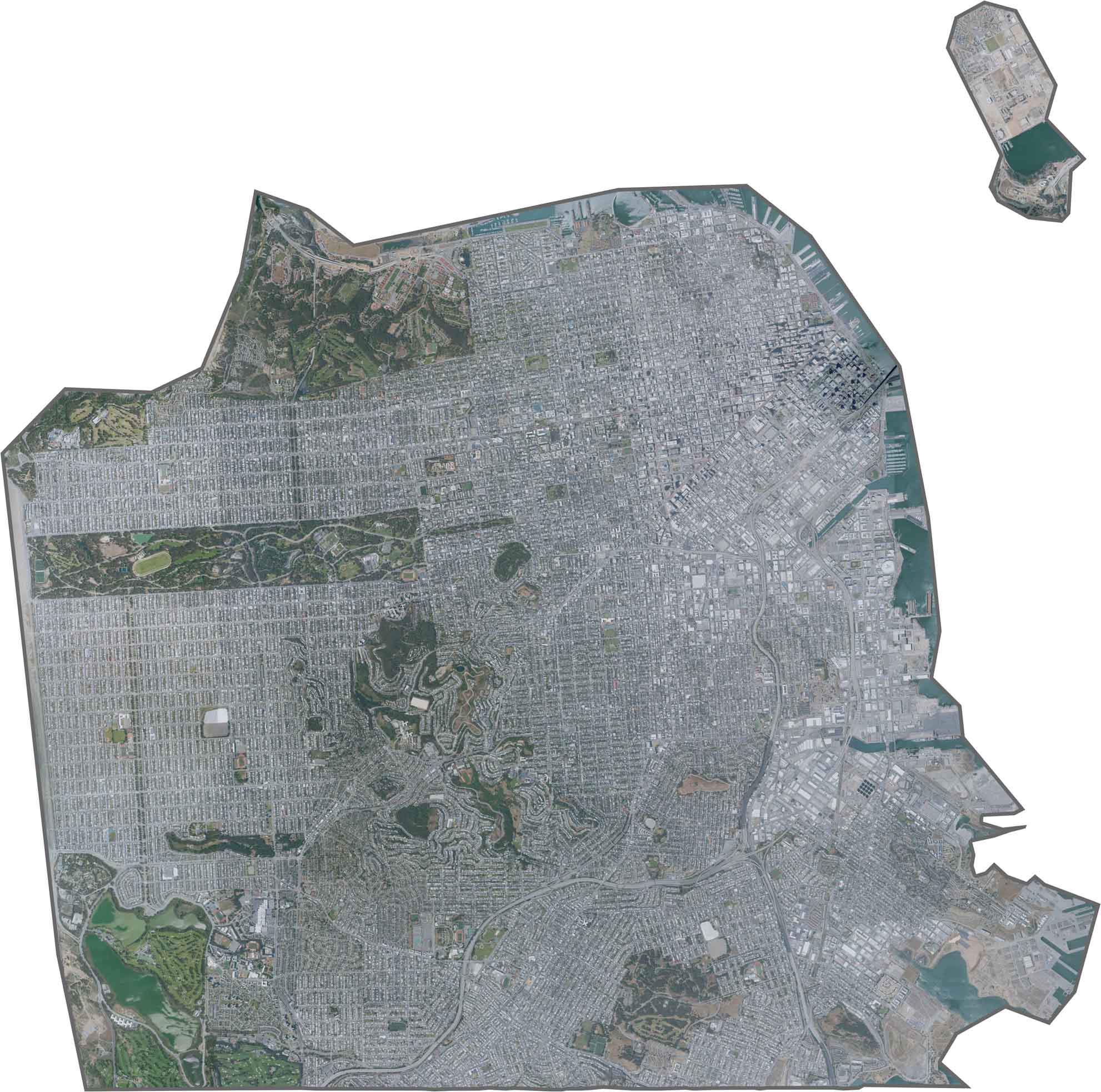
This satellite map shows San Francisco’s dense urban development covering nearly the entire peninsula. Golden Gate Park stands out as a distinctive green rectangle within the city’s surrounding street grid.
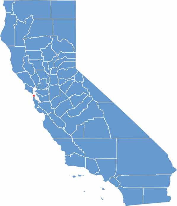
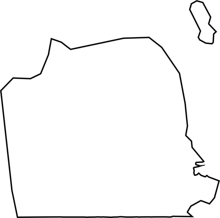
This blank map outlines San Francisco County’s compact shape at the northern tip of the San Francisco Peninsula. Surrounded by water on three sides, the simple outline clearly shows the county’s unique geographic setting.








Ever wonder how California’s 58 counties are organized? Our California county map lays them all out, from the Pacific Coast to the vast desert regions. Explore the map to find the counties you know—and perhaps discover a few you don’t.