
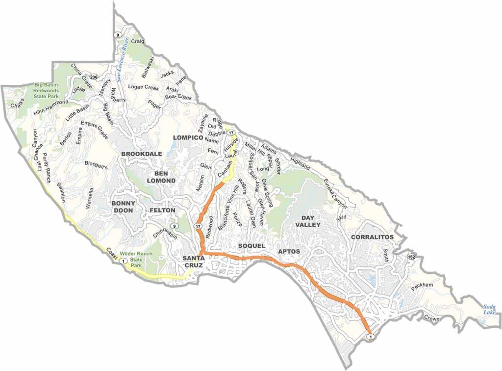
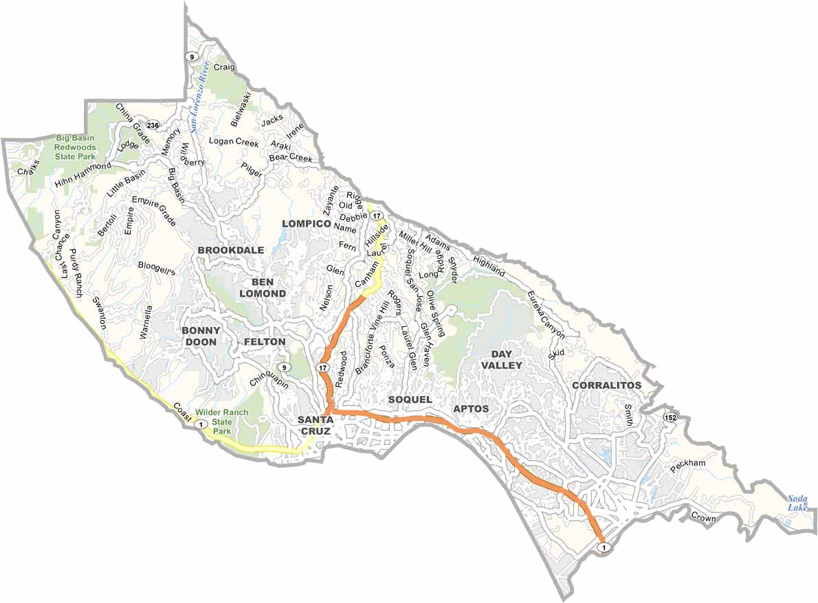
Santa Cruz County is located along the California coast, just west of Silicon Valley. The area is known for its laid-back beach-town atmosphere, with a strong surfing culture and a unique local character.
The University of California, Santa Cruz sits in the hills above the city and is famously known for its Banana Slug mascot. Capitola is a charming beach community that becomes especially busy during the summer. The Santa Cruz Beach Boardwalk offers classic seaside entertainment, including the historic Giant Dipper roller coaster.
In the Santa Cruz Mountains, communities such as Boulder Creek are surrounded by towering redwood forests. Although the county is expensive, it can still be more affordable than neighboring Silicon Valley. With its beaches, redwoods, and unmistakable personality, Santa Cruz County offers a distinctive California experience.
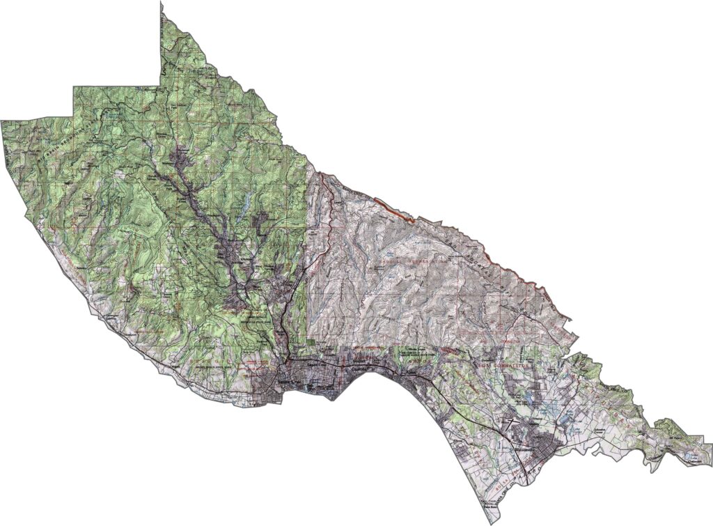
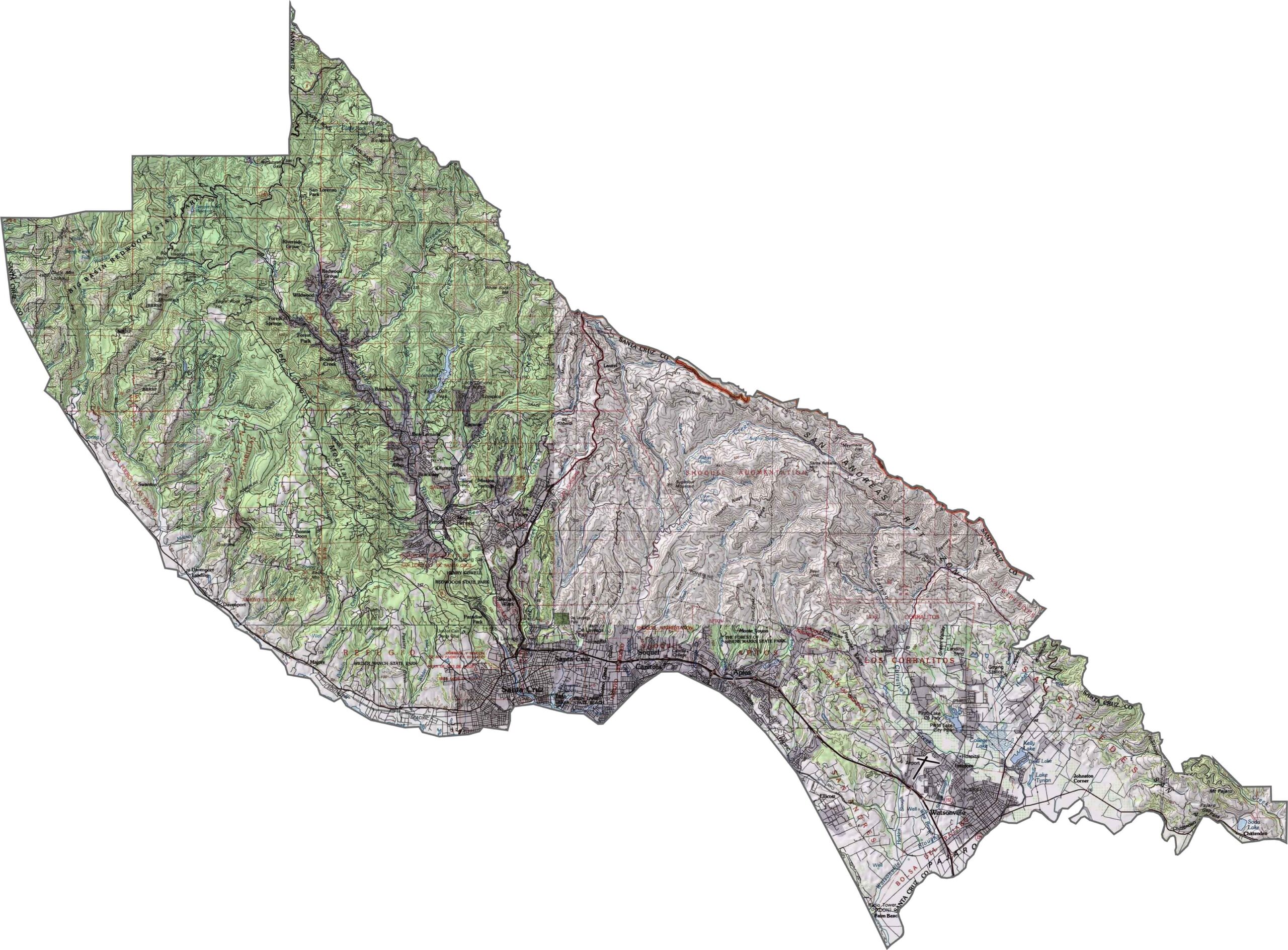
This topographic map highlights Santa Cruz County’s diverse coastal and mountain terrain. The contour lines reveal beaches, redwood forests, and the steep Santa Cruz Mountains along California’s central coast.
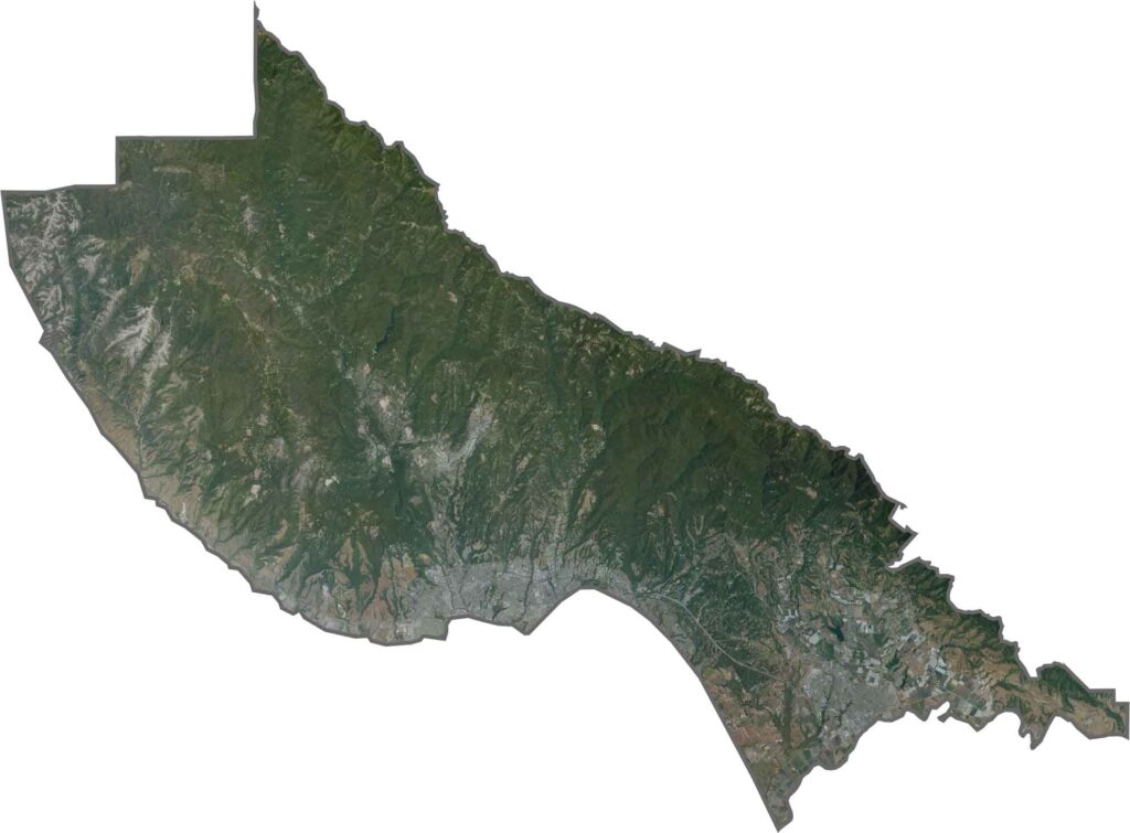
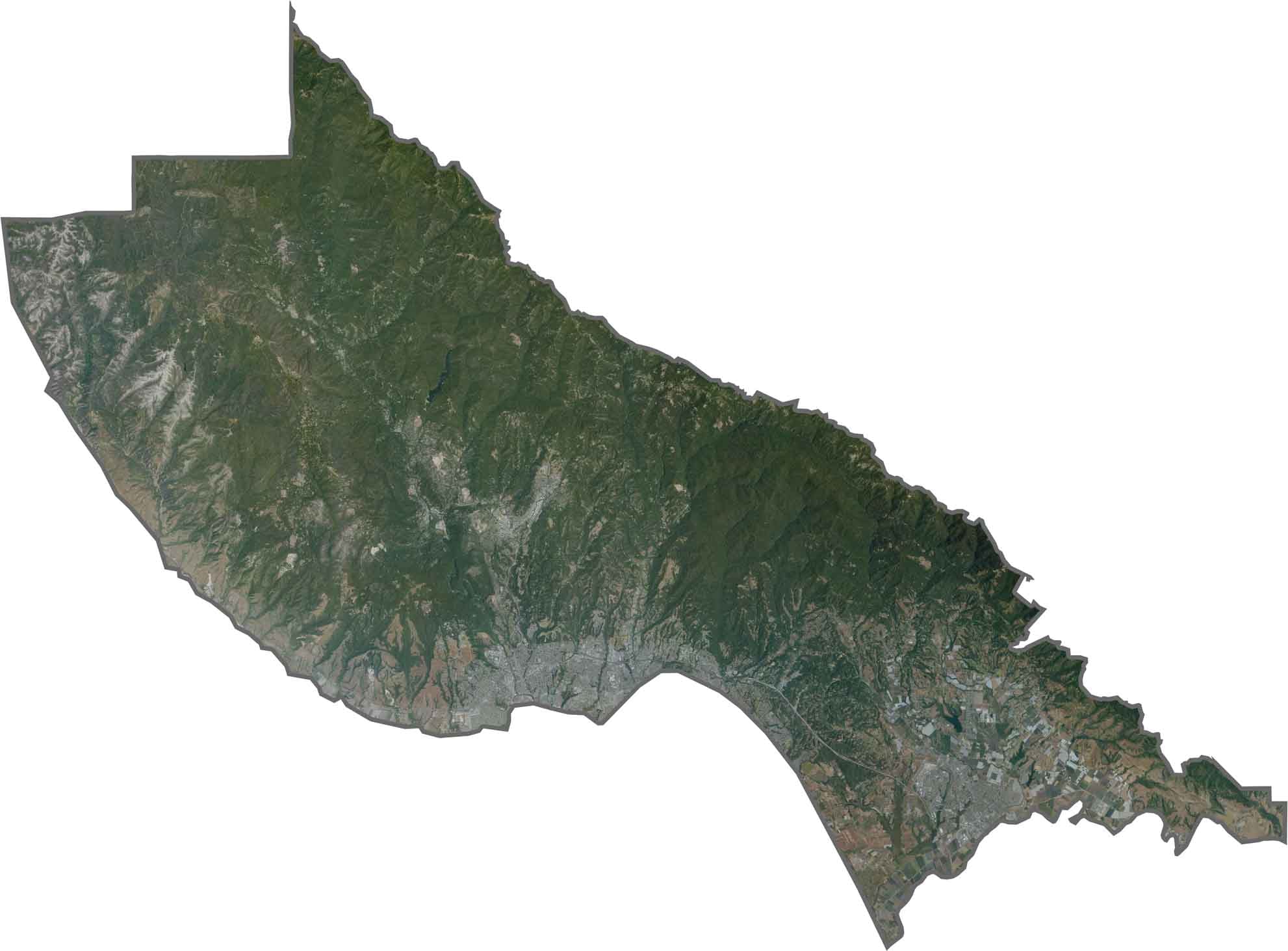
This satellite map shows forested mountains meeting the Pacific coastline in Santa Cruz County. The distinctive curve of Monterey Bay creates a prominent feature along the southern part of the county.
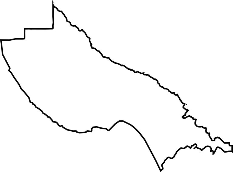
This blank map outlines Santa Cruz County’s compact shape along Monterey Bay and the Pacific coast. The northern boundary follows the Santa Cruz Mountains, providing a clear view of the county’s overall geography.








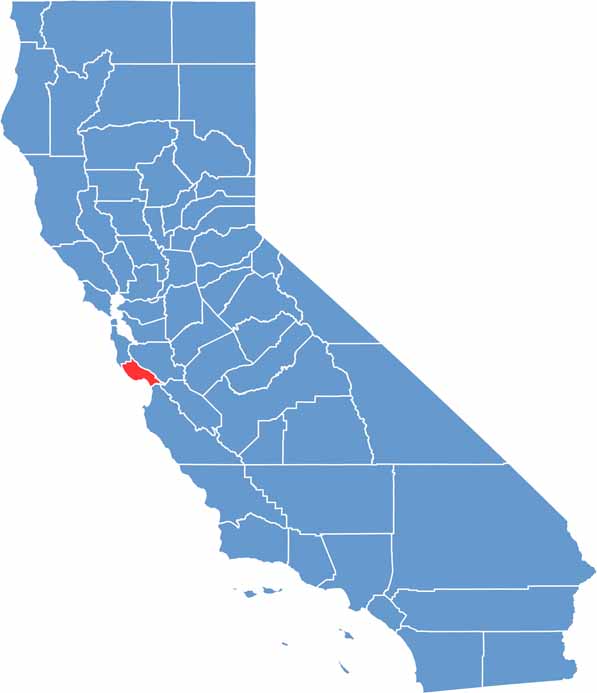
Ever wonder how California’s 58 counties are organized? Our California county map lays them all out, from the Pacific Coast to the vast desert regions. Explore the map to find the counties you know—and perhaps discover a few you don’t.