
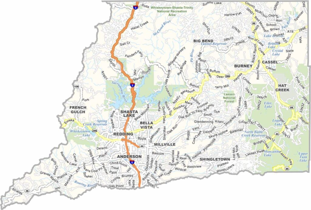
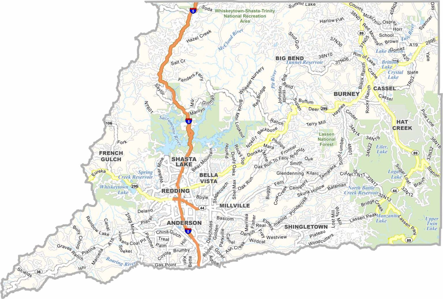
Shasta County is located in Northern California, where the Sacramento Valley meets the surrounding mountains. The area offers abundant opportunities for outdoor recreation, including hiking, fishing, and swimming. The Sacramento River flows through the county and is an important part of its landscape.
Shasta Lake is a major attraction and is popular for boating and houseboating. It is California’s largest reservoir. Although Mount Shasta is located just north of the county, it can often be seen from many parts of the region.
Redding is the largest city and serves as the county seat. With a population of nearly 181,000 people, Shasta County combines a growing urban center with rural communities, forests, lakes, and mountain scenery.
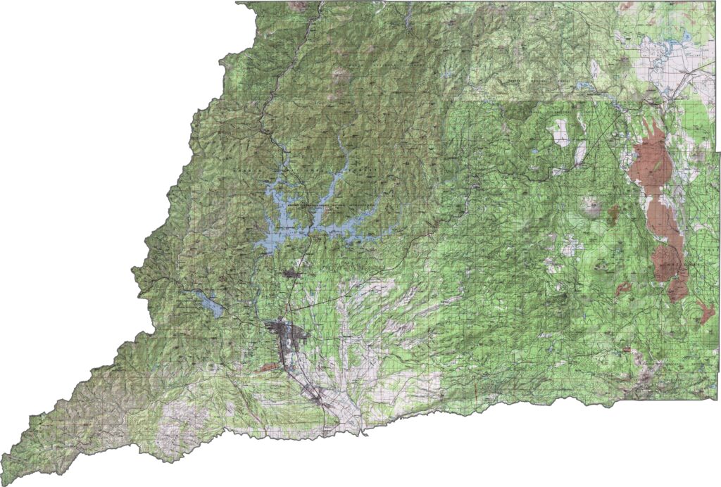
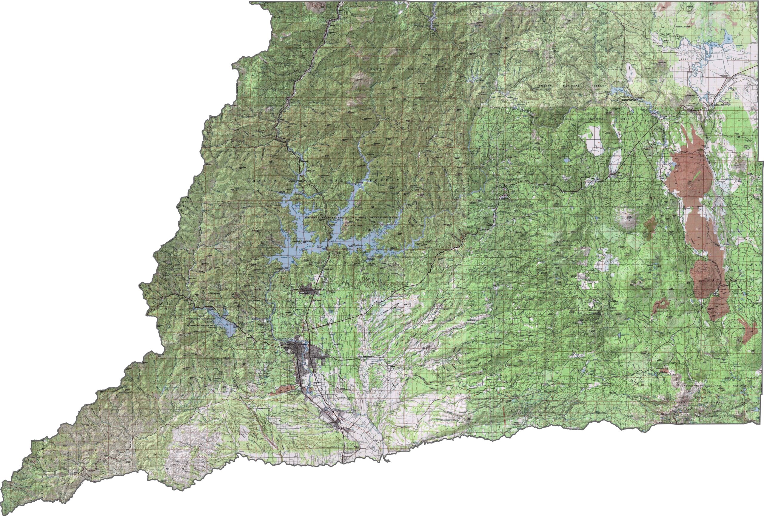
This topographic map highlights Shasta County’s diverse landscape of volcanoes, mountains, lakes, and river valleys. The detailed contours make it easy to explore Mount Shasta and the varied terrain of Northern California.
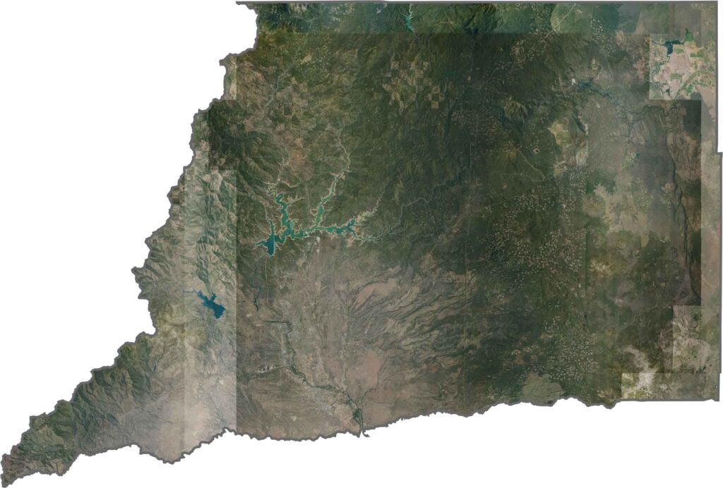
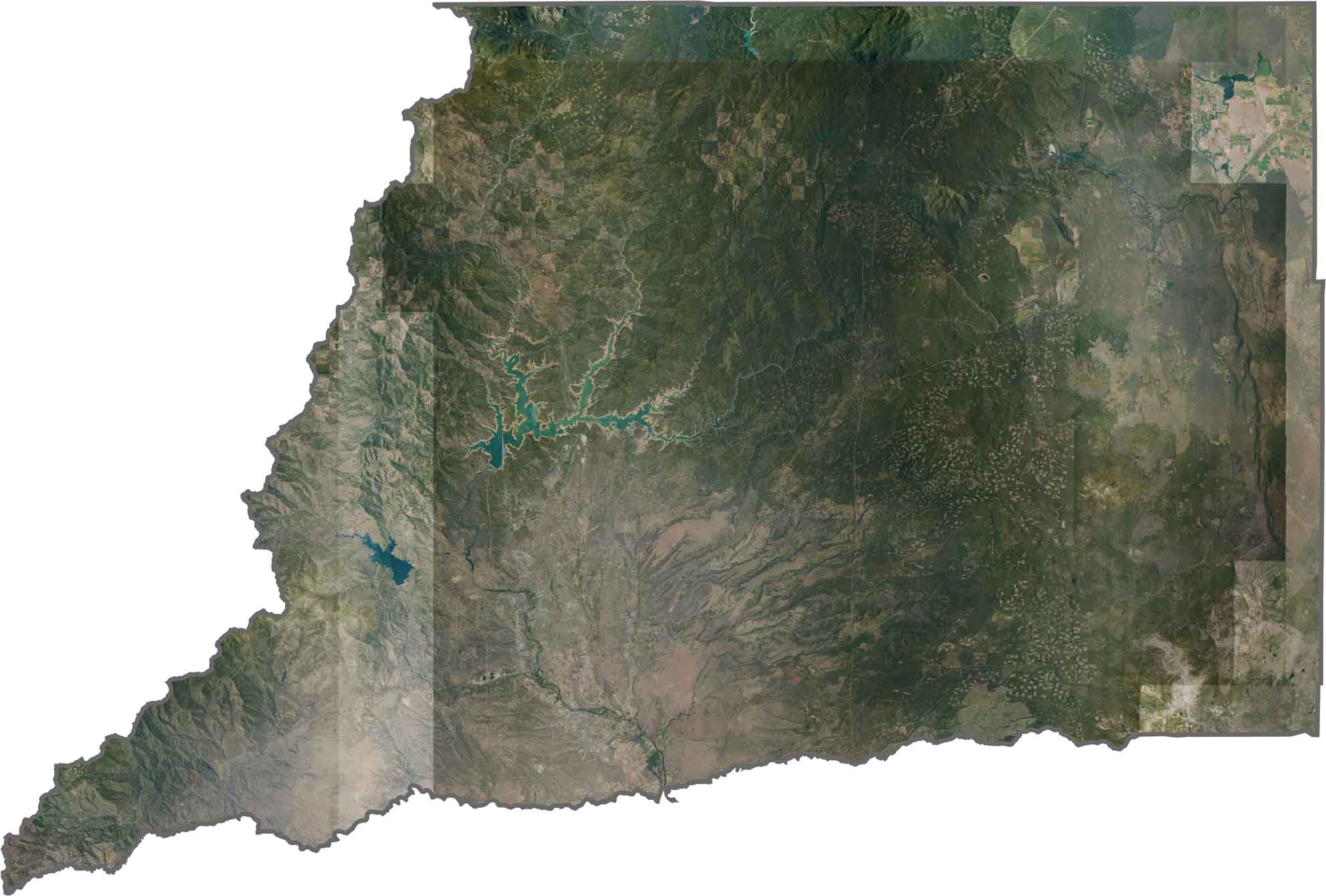
This satellite map shows Mount Shasta’s snow-capped volcanic cone rising prominently in the northern part of the county. Shasta Lake’s irregular shoreline forms a striking blue network among the surrounding forested mountains.
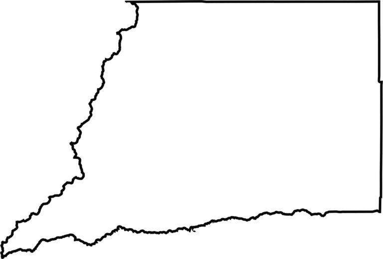
This blank map outlines Shasta County’s irregular shape in Northern California. The simple design encompasses Mount Shasta, Shasta Lake, and portions of the Sacramento Valley.








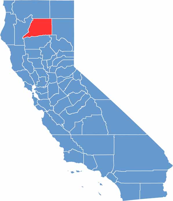
Ever wonder how California’s 58 counties are organized? Our California county map lays them all out, from the Pacific Coast to the vast desert regions. Explore the map to find the counties you know—and perhaps discover a few you don’t.