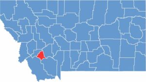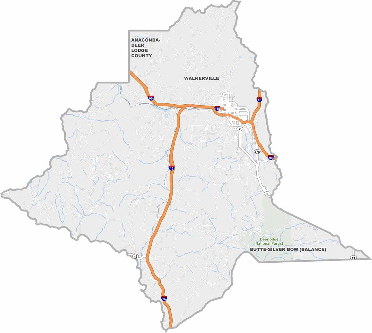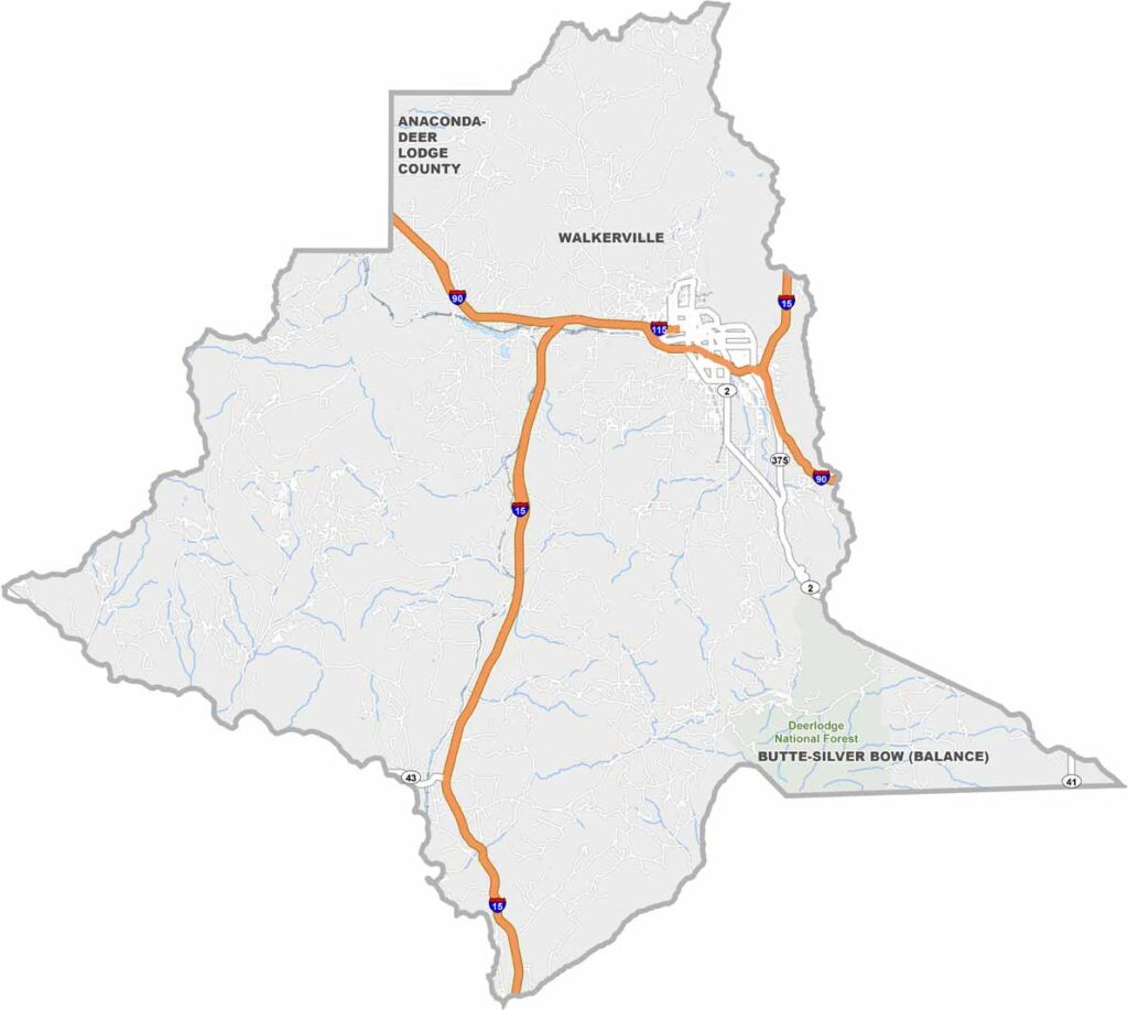
Butte dominates Silver Bow County, located in the heart of southwestern Montana. This isn’t your typical mountain town. It’s gritty, with a history as deep as the massive open-pit copper mine overlooking the city.
They call Butte “The Richest Hill on Earth” for a reason. Mining shaped everything here. The architecture blends grand Victorian mansions with no-nonsense workers’ cottages. The Berkeley Pit, once a major source of Butte’s wealth, now serves as a reminder of the environmental cost of progress.
But Silver Bow County continues to reinvent itself. Tech companies are moving in, while the nearby mountains offer world-class recreation. There’s a scrappy, never-say-die attitude that runs through the place. It’s not always pretty, but it’s always interesting.