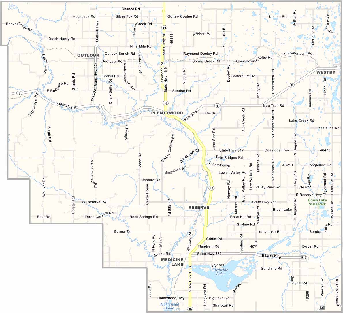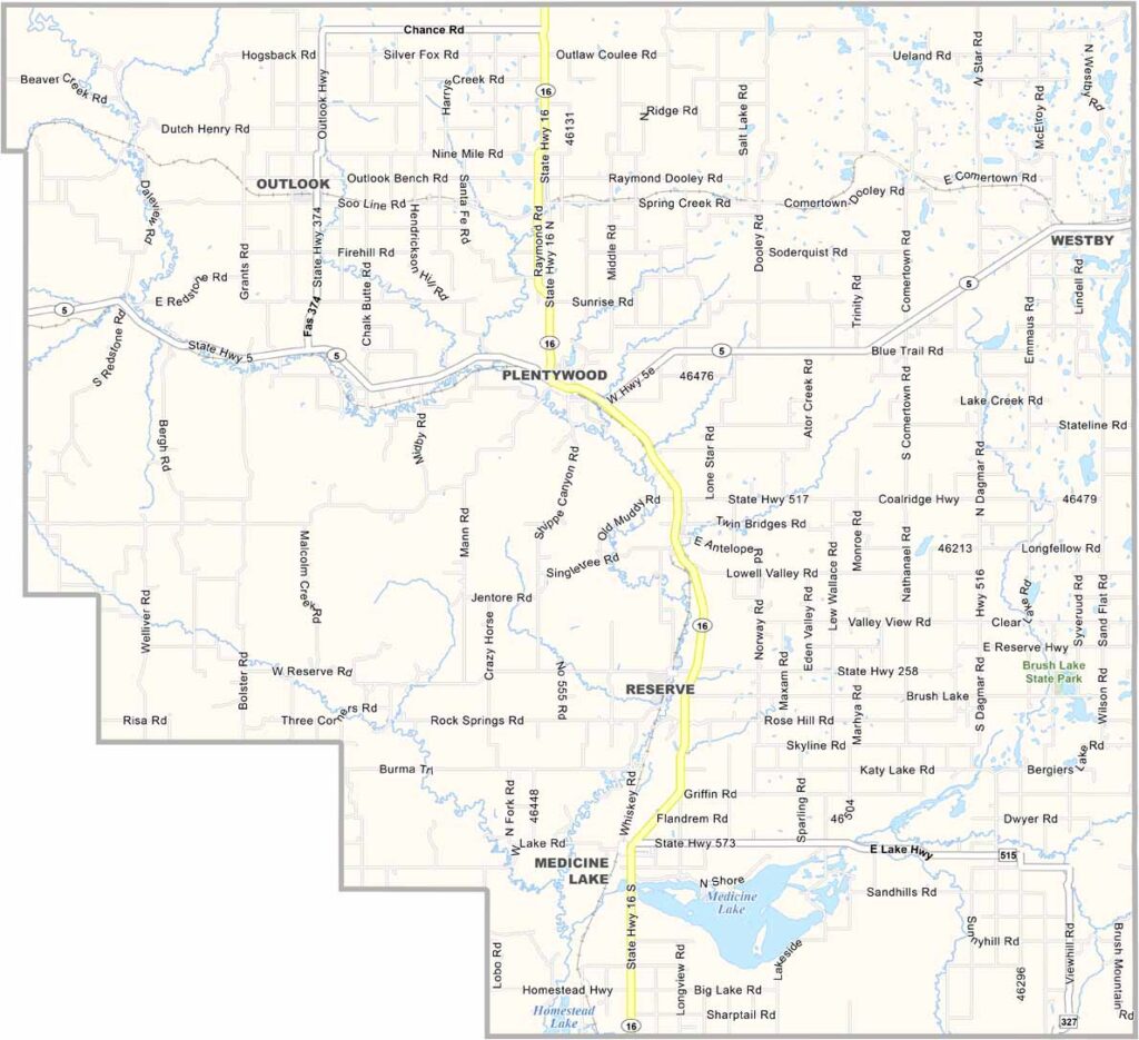
Sheridan County Map Download Montana – Outline Map and Blank Map

Sheridan County Map Download Montana – Outline Map and Blank Map

Sheridan County, Montana

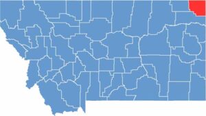
Sheridan County sits way up in Montana’s northeastern corner, right next to North Dakota. It’s a place where the Great Plains stretch out as far as the eye can see. Plentywood, the county seat, is about as close as you can get to Canada.

Most folks here are farmers. Wheat fields dominate the landscape, broken up by the occasional oil derrick. The area’s history is closely tied to homesteaders who came here looking for a fresh start.

These days, the population is shrinking, but the community spirit remains strong. Medicine Lake National Wildlife Refuge attracts birdwatchers and nature lovers. It’s quiet out here. Really quiet. For some people, that’s the biggest draw.

CategoryDetails
County NameSheridan County
County SeatPlentywood
EtymologyNamed after Philip Sheridan, a Union general in the American Civil War
Cities, Towns, and CommunitiesPlentywood, Medicine Lake, Outlook, Westby, Antelope
Interstates and HighwaysMT 5, MT 16
FIPS Code30-091
Total Area (Land and Water)1,706 square miles (Land: 1,677 sq mi, Water: 29 sq mi)
Adjacent Counties (and Direction)Daniels County (West), Divide County, North Dakota (East), Williams County, North Dakota (East), Roosevelt County (South)
Time ZoneMountain Time Zone (MT)
StateMontana
Coordinates48.7744° N, 104.5536° W
Major LandmarksMedicine Lake National Wildlife Refuge, Sheridan County Museum, Plentywood Historic District
PopulationApproximately 3,300
Scroll to Top