
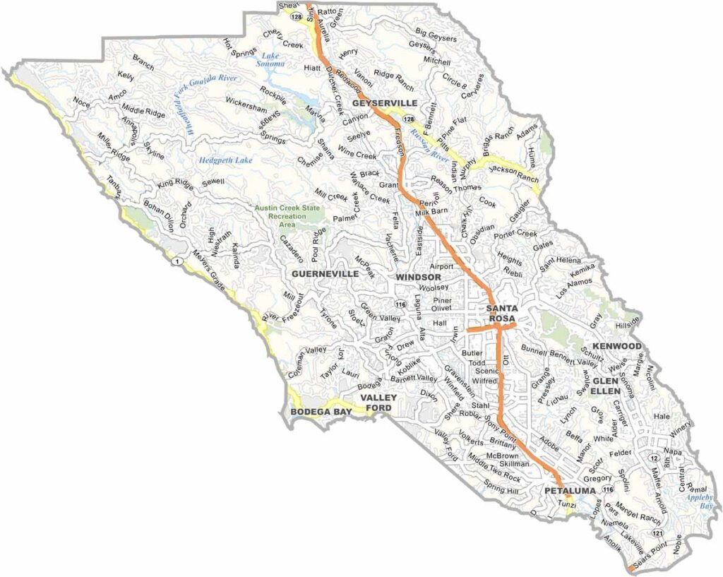
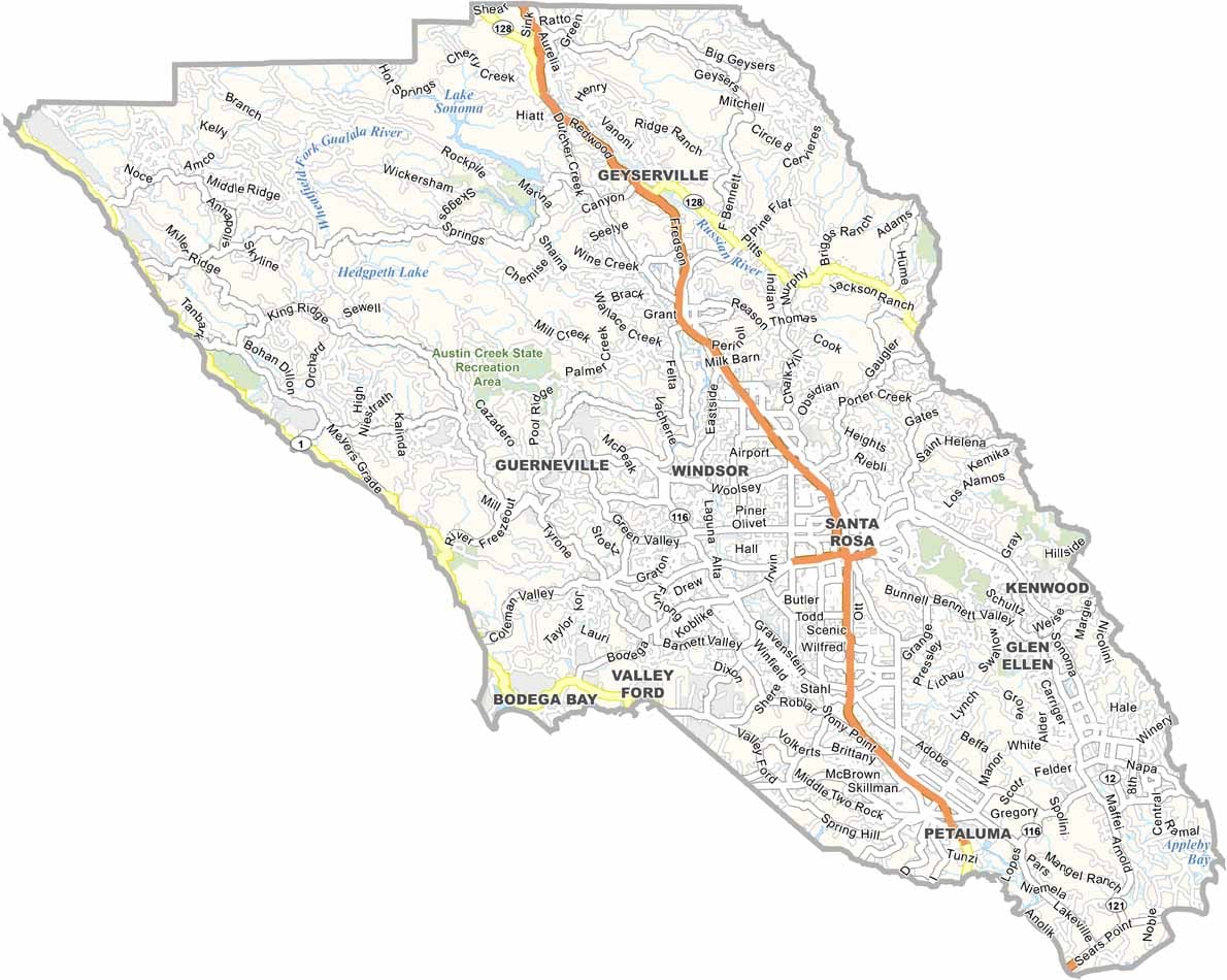
Sonoma County is located north of San Francisco and is known for its wine, food, and beautiful scenery. The county includes charming towns such as Healdsburg and Sonoma, while Santa Rosa serves as its largest city.
The county’s rugged coastline includes destinations such as Bodega Bay, which was famously featured in Alfred Hitchcock’s The Birds. Sonoma County is often considered more relaxed than neighboring Napa Valley while still being one of California’s premier wine-producing regions.
The Russian River is a popular destination for canoeing, kayaking, and summer recreation. With its vineyards, scenic coastline, and thriving food culture, Sonoma County offers a classic taste of California.
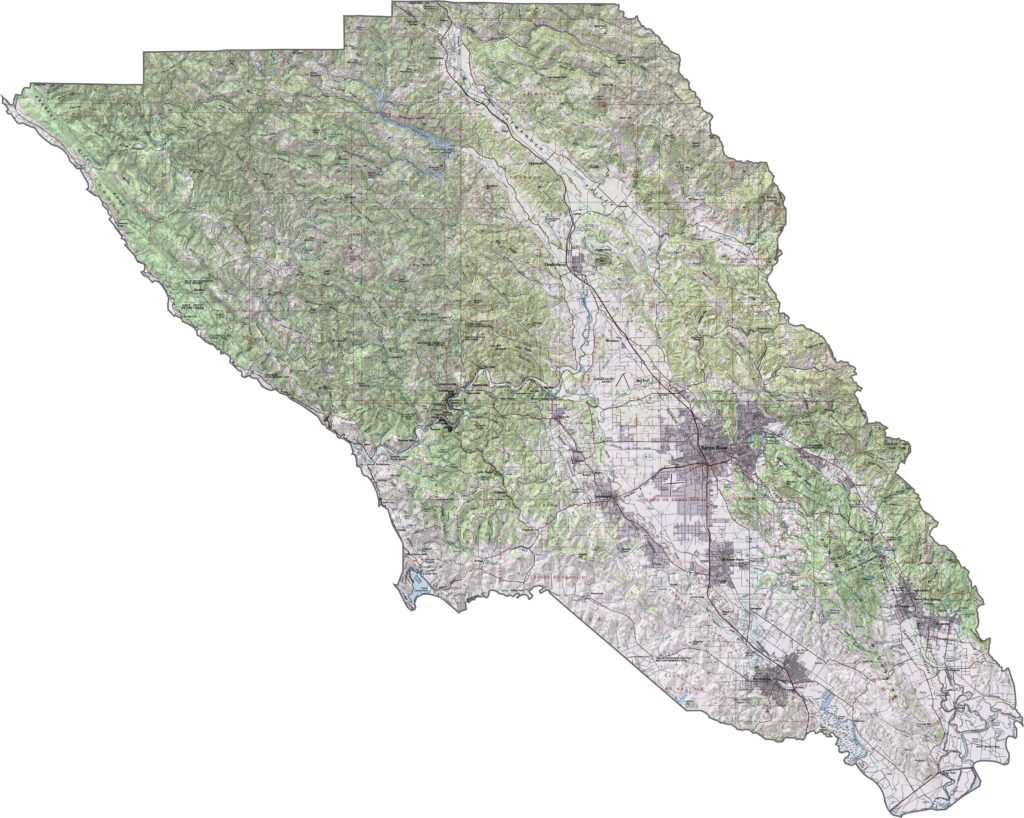
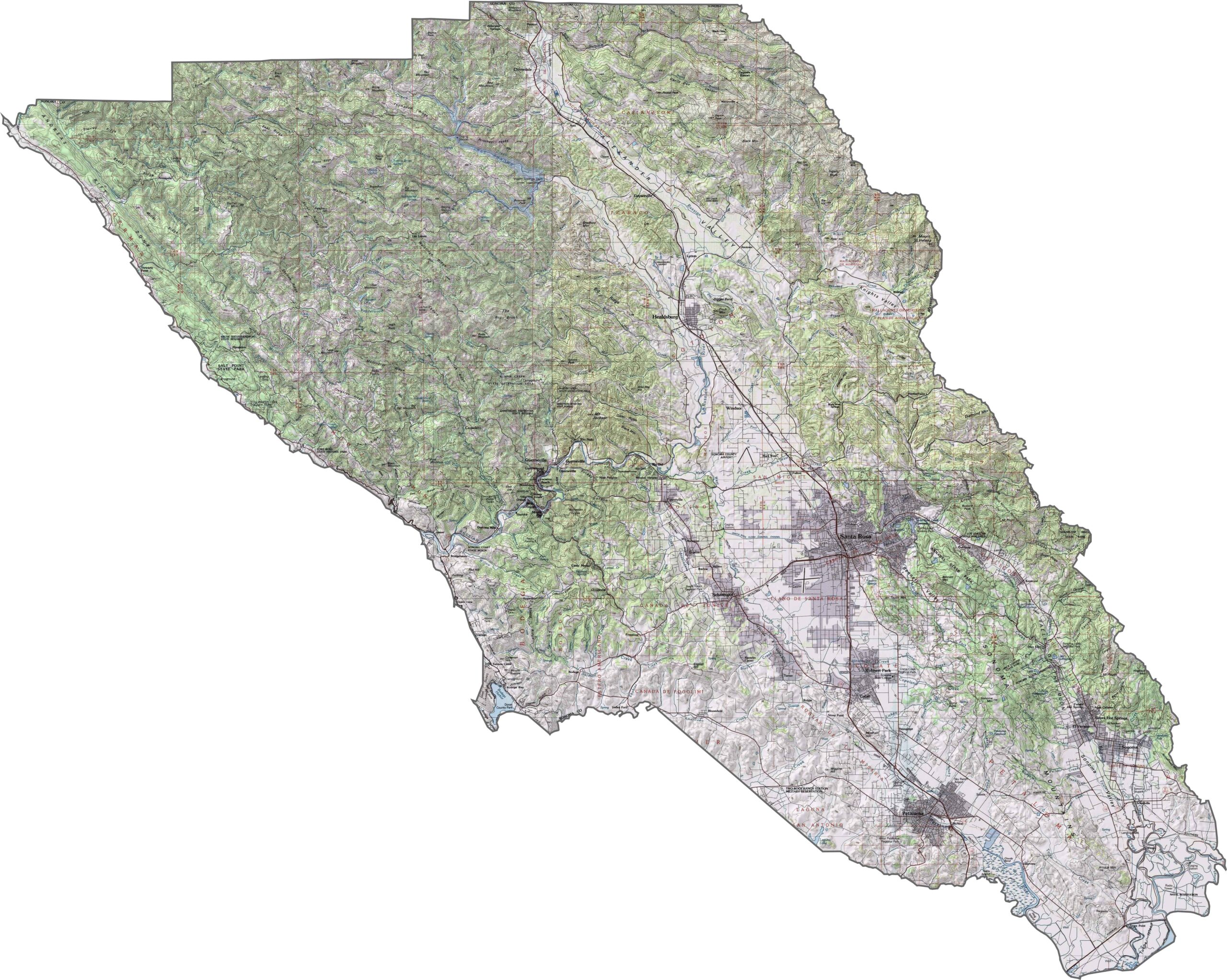
This topographic map highlights Tehama County’s transition from the Sacramento Valley to surrounding mountain ranges. The terrain rises from the flat valley floor toward higher elevations along the eastern and western boundaries.
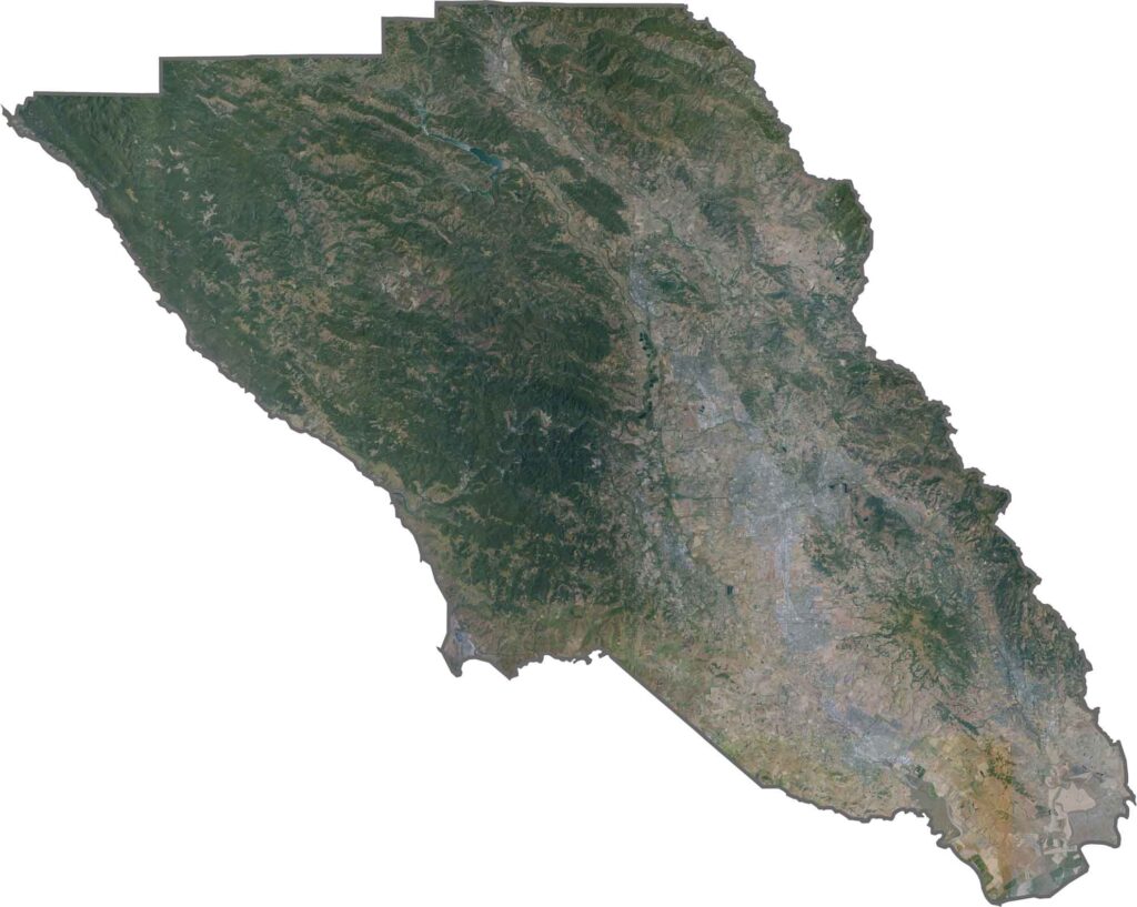
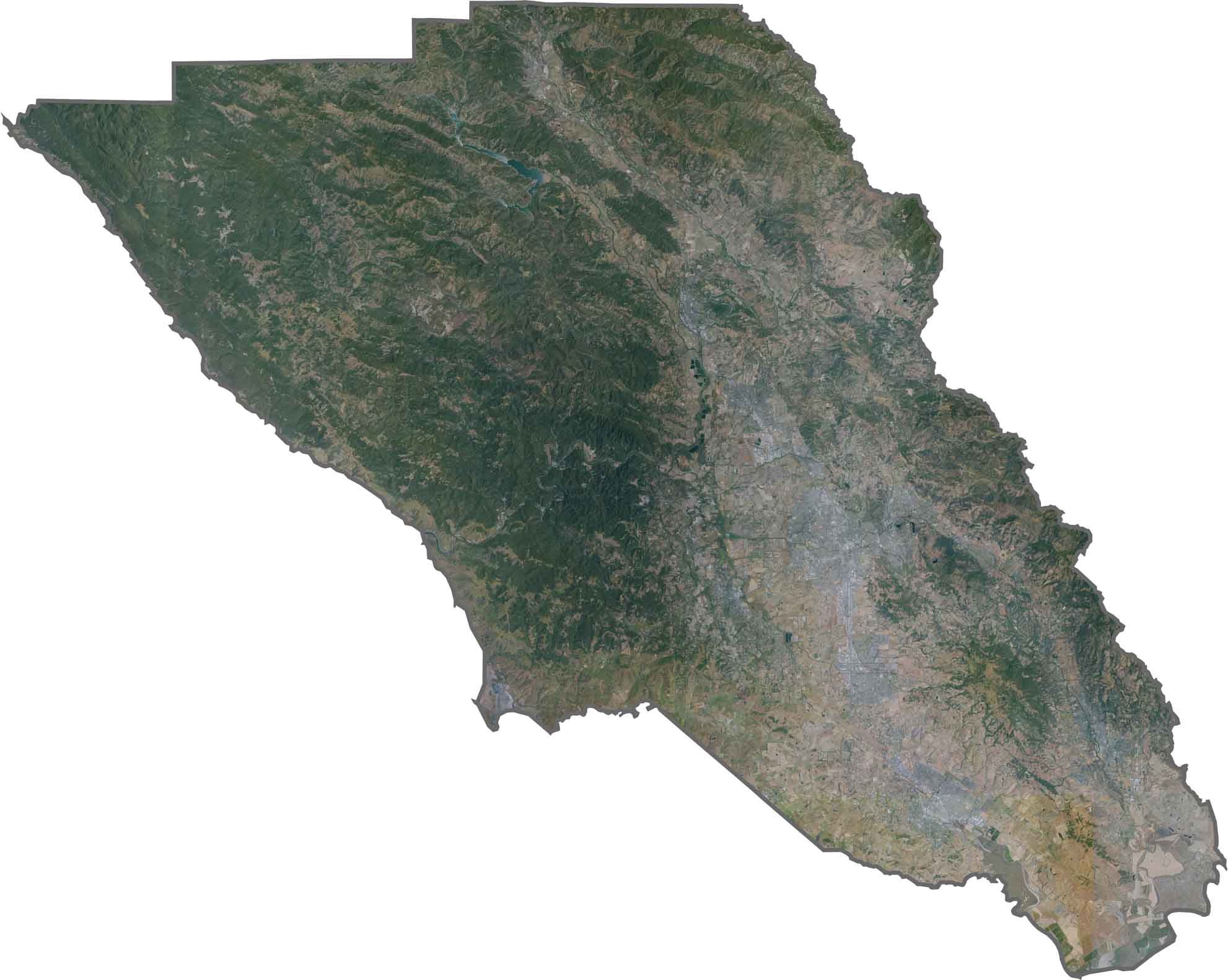
This satellite map shows Sonoma County’s famous wine country, with vineyards and agricultural fields creating distinctive patterns across the landscape. The Russian River winds through the county’s valleys toward the Pacific Ocean.
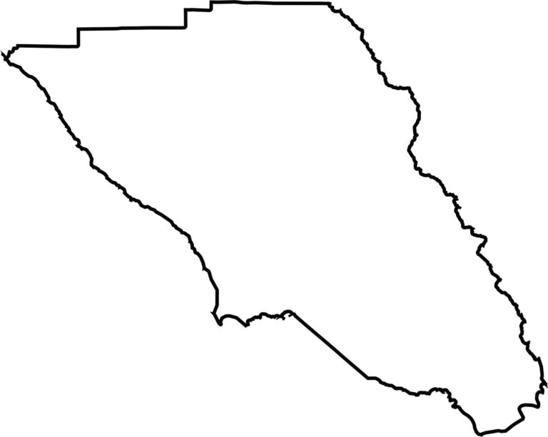
This blank map outlines Sonoma County’s shape along the northern San Francisco Bay region. The western boundary follows the Pacific coastline, while the eastern edge borders Napa County.








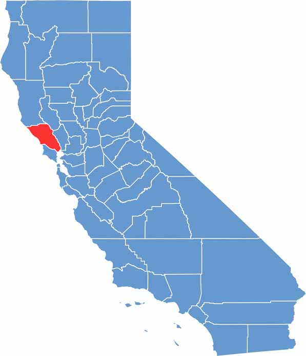
Ever wonder how California’s 58 counties are organized? Our California county map lays them all out, from the Pacific Coast to the vast desert regions. Explore the map to find the counties you know—and perhaps discover a few you don’t.